Netarts Bay
- Saltwater
- Bay
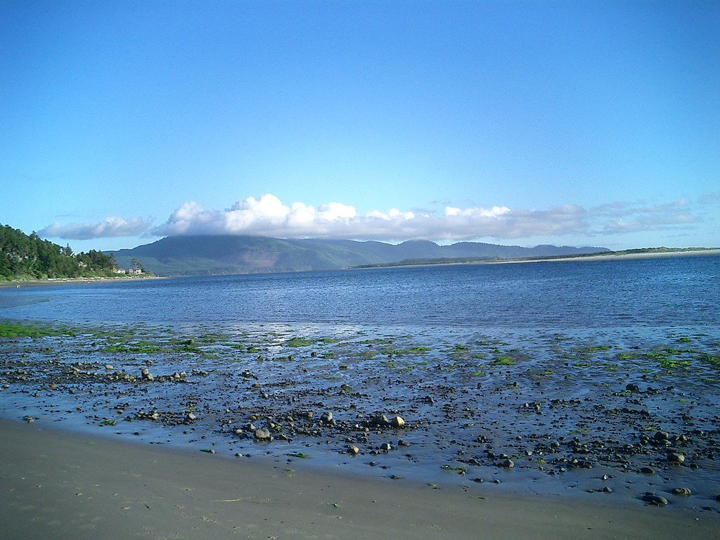
Netarts Bay
- Saltwater
- Bay
- Sq. miles
- 3.6
- Boat Ramps
- 1
- Access Points
- 0
- Campsites
- 15
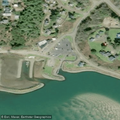
Netarts Bay is a 2,700-acre saltwater estuary on the north Oregon Coast, tucked between Cape Lookout and the town of Netarts. It is a shallow, sheltered bay protected from open ocean swell by a long sand spit. The water is known for being remarkably clear, as no major rivers feed into it. The primary public launch for paddlers is the Netarts Bay Boat Launch, a single-lane paved ramp with a grassy staging area and parking, located at the end of the bay road near Netarts village. An alternative launch is available at Happy Camp public beach at the south end of the road. Conditions are shaped almost entirely by tide and wind. During slack tide, the bay becomes mirror-flat and is considered beginner-friendly, though incoming and outgoing tides create noticeable currents in the narrower channels. The bay mouth is a specific hazard where an outgoing current can pull paddlers toward the open ocean, so paddlers are advised to stay clear of this area. Wind is the main variable, particularly during winter months when coastal storms can kick up chop quickly; the bay is sheltered from swell but exposed to coastal wind. The shallow nature of the bay, averaging 10-15 feet deep, means some areas near sand spits and tidal flats become impassable at low tide. The bay is a working area shared with crab pots and small commercial boats, especially during peak seasons. Notable sights include a protected bed of living sand dollars in the shallows near the bay mouth, extensive eelgrass flats, oyster beds, and sandbars where harbor seals often haul out. While paddling is possible year-round, March through November provides the most stable weather, with summer seeing afternoon northwest winds. The wet season from November through March features bigger tidal swings and fewer people, offering a different, quieter experience. The overall character is accessible and not wilderness, providing a protected saltwater paddle rich with marine life.
Water access, boat ramps & amenities
Learn how to get on Netarts Bay. Uncover great paddling access points, boat ramps, and all the facilities you need for an unforgettable day on the water. Some locations shown may border or include private property. Always check property boundaries and applicable regulations before visiting. PaddleWays's Public & Private Land layer can help you plan your access with confidence.
Paddle smarter with real-time insights
Whether you're en route and conditions shift or you're looking for the best spot based on current flows, we enable you to make informed decisions on the fly.








Find Places to Paddle

Over 400,000 Places to Paddle
Every user gets free access to launch points, boat ramps, and public property parcels.


Tides, wind & water conditions (10 day forecast)
On open water, wind and tide matter as much as the weather. See the best times to paddle Netarts Bay and check the marine forecast before you launch.
Loading tide predictions…
Paddling near Netarts Bay
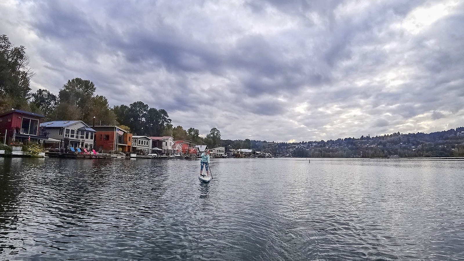
Willamette River
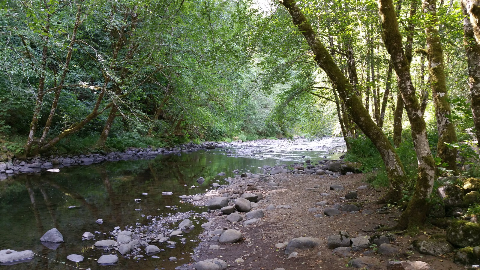
Nestucca River
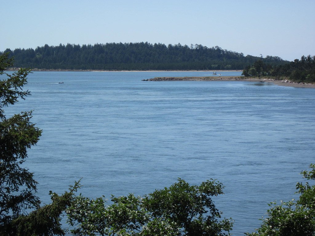
Tillamook Bay
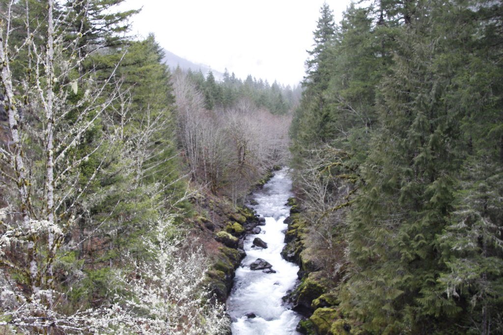
Molalla River

Columbia River
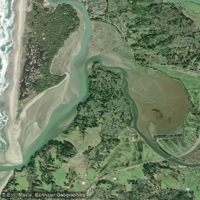
Nestucca Bay
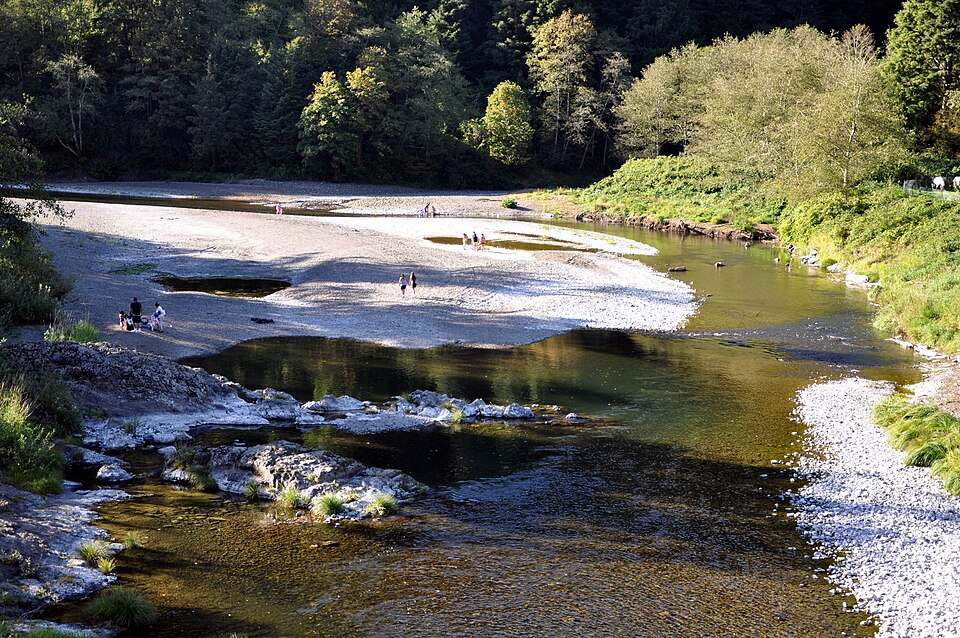
Wilson River
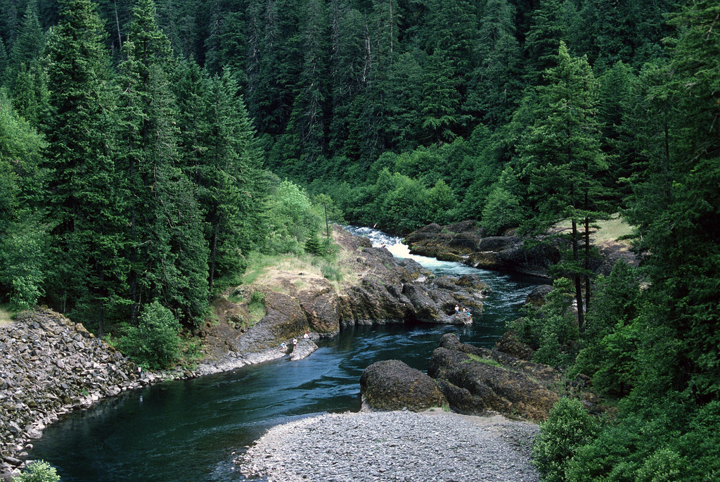
Clackamas River
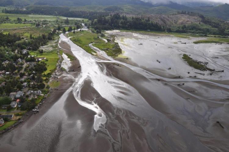
Siletz River
Explore Oregon waters
Top paddling waters
Popular Cities
Loading popular cities...
Explore near Netarts Bay
Access points
Nearby waters
More in Oregon

Smarter Paddling Starts in the App.
Paddleways gives you everything you need to plan smarter, paddle better, and own every trip from first launch to takeout.