Tillamook Bay
- Saltwater
- Bay
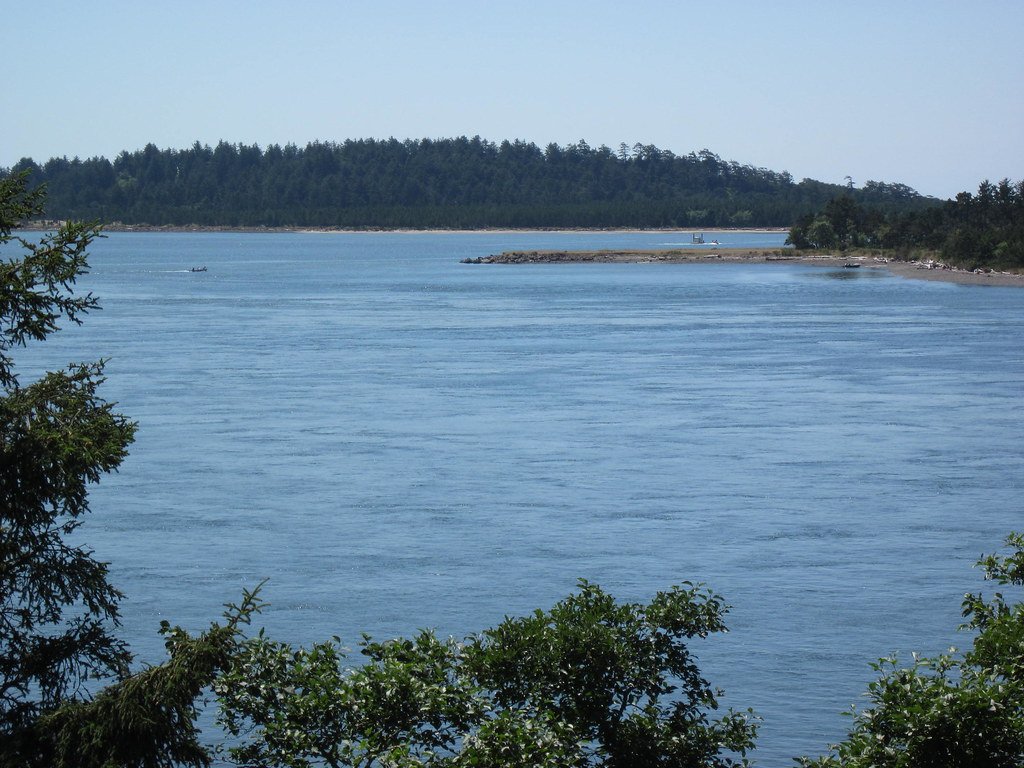
Tillamook Bay
- Saltwater
- Bay
- Sq. miles
- 11
- Boat Ramps
- 0
- Access Points
- 0
- Campsites
- 1
Tillamook Bay is the largest estuary in Oregon, a shallow coastal bay fed by five rivers: the Miami, Kilchis, Wilson, Trask, and Tillamook. The paddling experience is defined by its extensive, spider web-like network of inlets, sloughs, and tidally influenced rivers, offering over 200 miles of navigable waterways suitable for kayaks, canoes, and stand-up paddleboards. The bay itself is quite shallow, so timing your trip to avoid the hours near low tide is essential to prevent grounding. The entire system is tidal, and paddlers must consult tide tables before heading out, as currents can be strong, particularly in the narrow river channels and at the bay's mouth. A notable hazard is the ocean bar at the bay's entrance near Bar View, which features large, life-threatening breaking waves and significant tidal rips through the narrow channel; this area is for expert paddlers only in specific conditions.
Key launch sites include the public dock at Garibaldi, which provides access to the wider bay, and Memaloose Point Boat Launch on Bayocean Road, which offers improved facilities for Tillamook Bay and the Tillamook River. For exploring the interconnected rivers and sloughs, put-ins at Sue H. Elmore Park or Carhahan Park in Tillamook provide access to Hoquarton Slough and the Trask River. A rocky beach across from Lumberman’s Memorial Park in Garibaldi serves as a launch during higher tides. The bay's west side near the Three Graces rock formations is a destination for more advanced paddlers, attracting seals, seabirds, and rich intertidal life, but requires careful planning around current and swell. During the fall Chinook fishing season, the bay can host hundreds of fishing boats, necessitating awareness and space-sharing.
Water temperatures are consistently cold, typically reported in the mid-50s Fahrenheit. The scenery transitions from the small harbor town of Garibaldi to expansive mudflats, marshes, and forested shorelines. Wildlife sightings commonly include harbor seals, jumping salmon, ospreys, pelicans, bald eagles, and a variety of wading birds. Paddlers should note that oyster beds within the bay are part of a commercial shellfish preserve and are not to be disturbed. For comprehensive trip planning, the waterproof guidebooks published by the Tillamook Estuaries Partnership detail access points, routes, and safety information for the entire watershed.
Water access, boat ramps & amenities
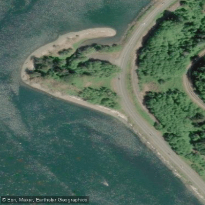
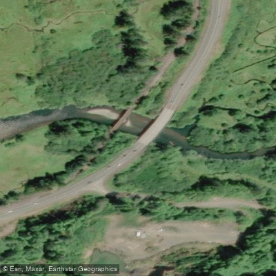
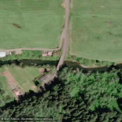
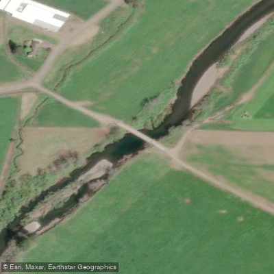
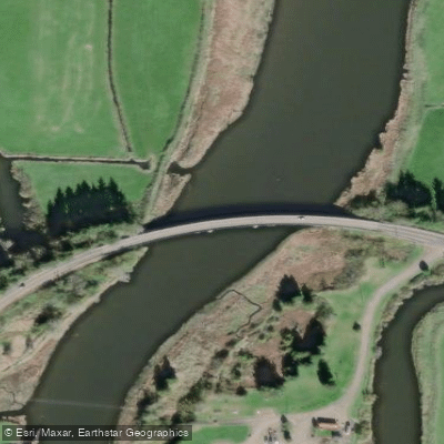
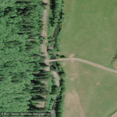
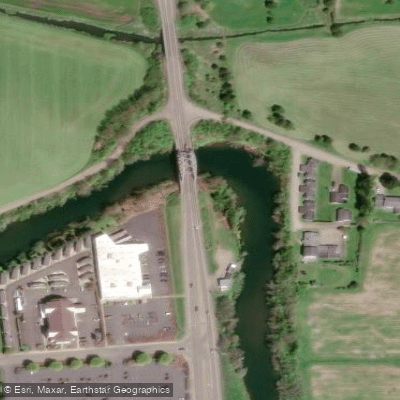
Learn how to get on Tillamook Bay. Uncover great paddling access points, boat ramps, and all the facilities you need for an unforgettable day on the water. Some locations shown may border or include private property. Always check property boundaries and applicable regulations before visiting. PaddleWays's Public & Private Land layer can help you plan your access with confidence.
Paddle smarter with real-time insights
Whether you're en route and conditions shift or you're looking for the best spot based on current flows, we enable you to make informed decisions on the fly.








Find Places to Paddle

Over 400,000 Places to Paddle
Every user gets free access to launch points, boat ramps, and public property parcels.


Tides, wind & water conditions (10 day forecast)
On open water, wind and tide matter as much as the weather. See the best times to paddle Tillamook Bay and check the marine forecast before you launch.
Loading tide predictions…
Paddling near Tillamook Bay
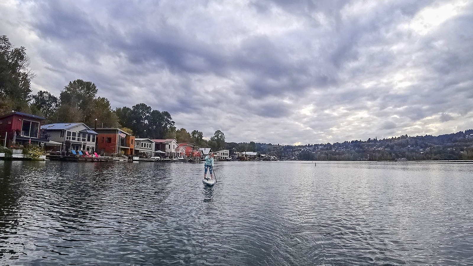
Willamette River

Columbia River
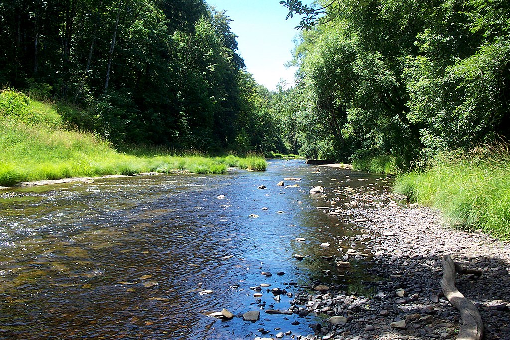
Nehalem River
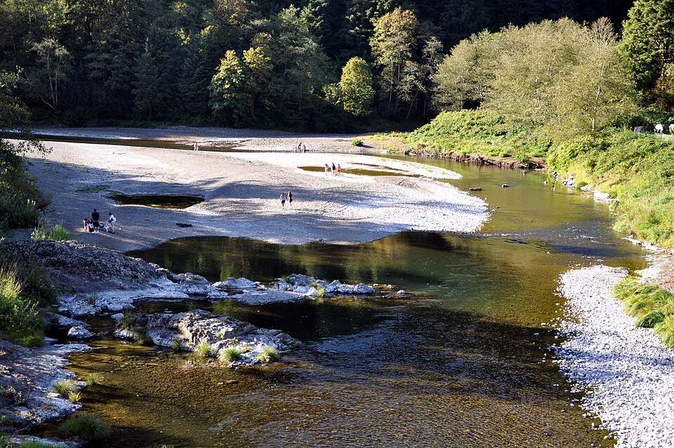
Wilson River
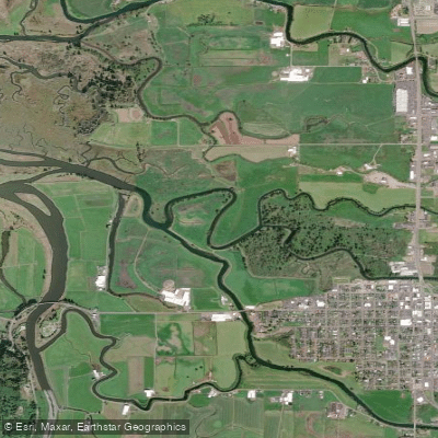
Hoquarten Slough
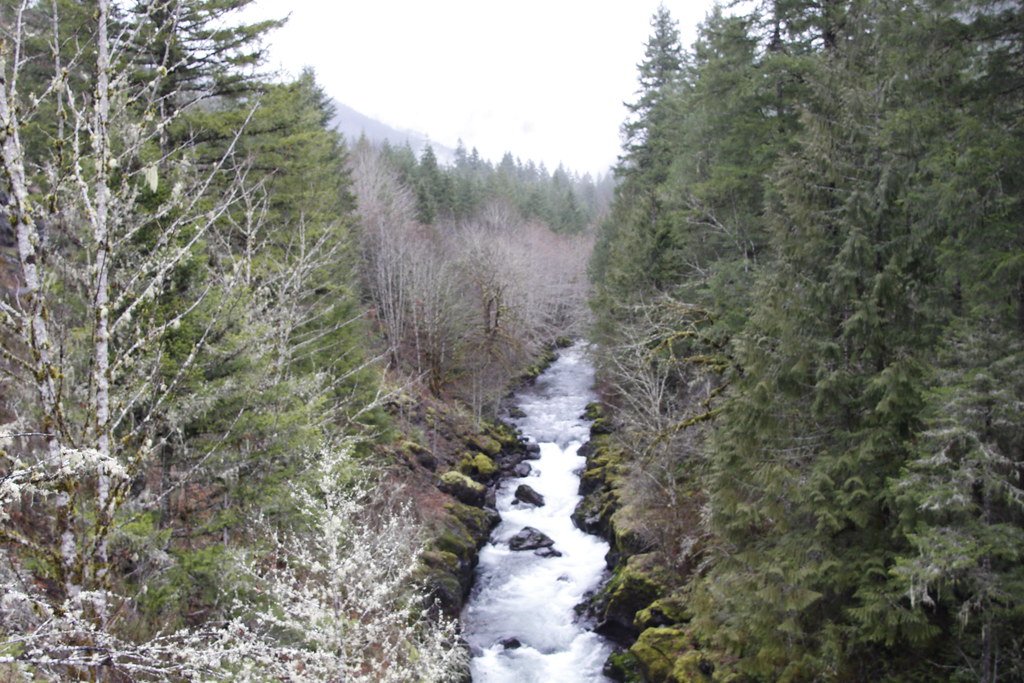
Molalla River
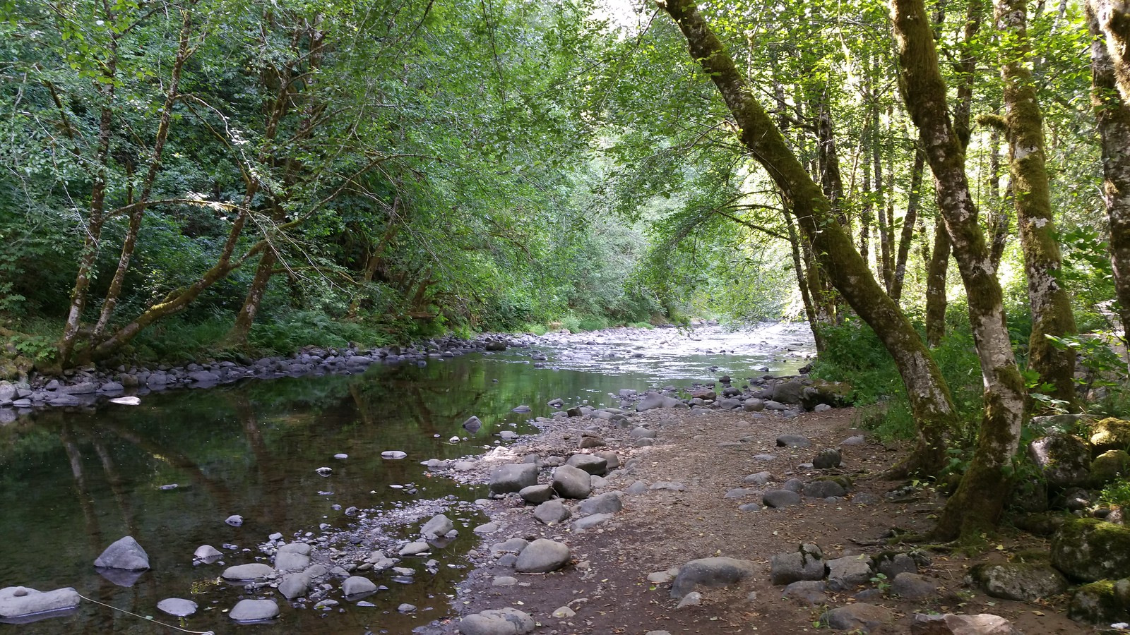
Nestucca River
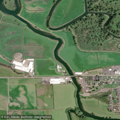
Trask River
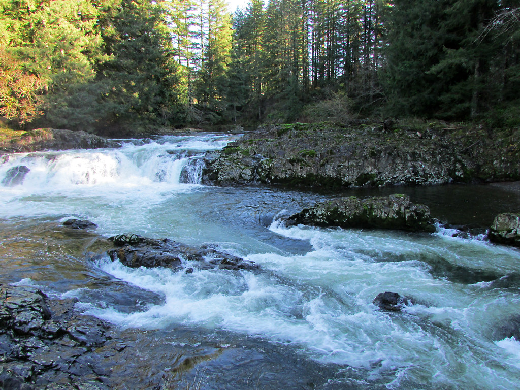
Lewis River
Explore Oregon waters
Top paddling waters
Popular Cities
Loading popular cities...
Explore near Tillamook Bay
Access points
Nearby waters
More in Oregon

Smarter Paddling Starts in the App.
Paddleways gives you everything you need to plan smarter, paddle better, and own every trip from first launch to takeout.