Curated by PaddleWays
RouteClass V
- Distance
- 1.3 mi
- Paddle time
- ~0.5 hrs
- Best for
- Intermediate paddlers, experienced paddlers
- Put-in → take-out
- Put In → Take Out/Visual Gauge
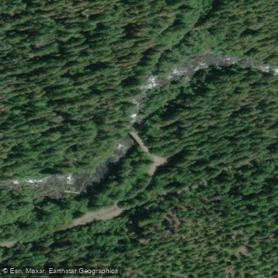
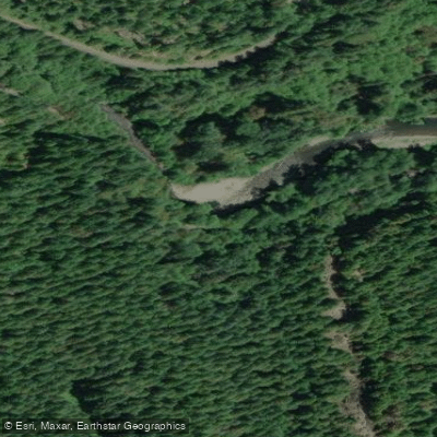
Wood in river, continuous fast run
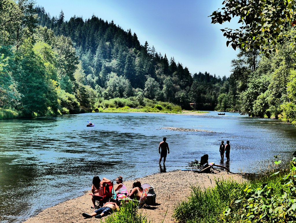
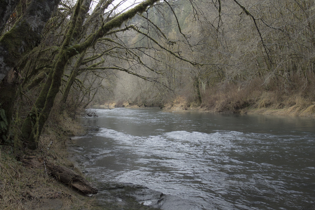
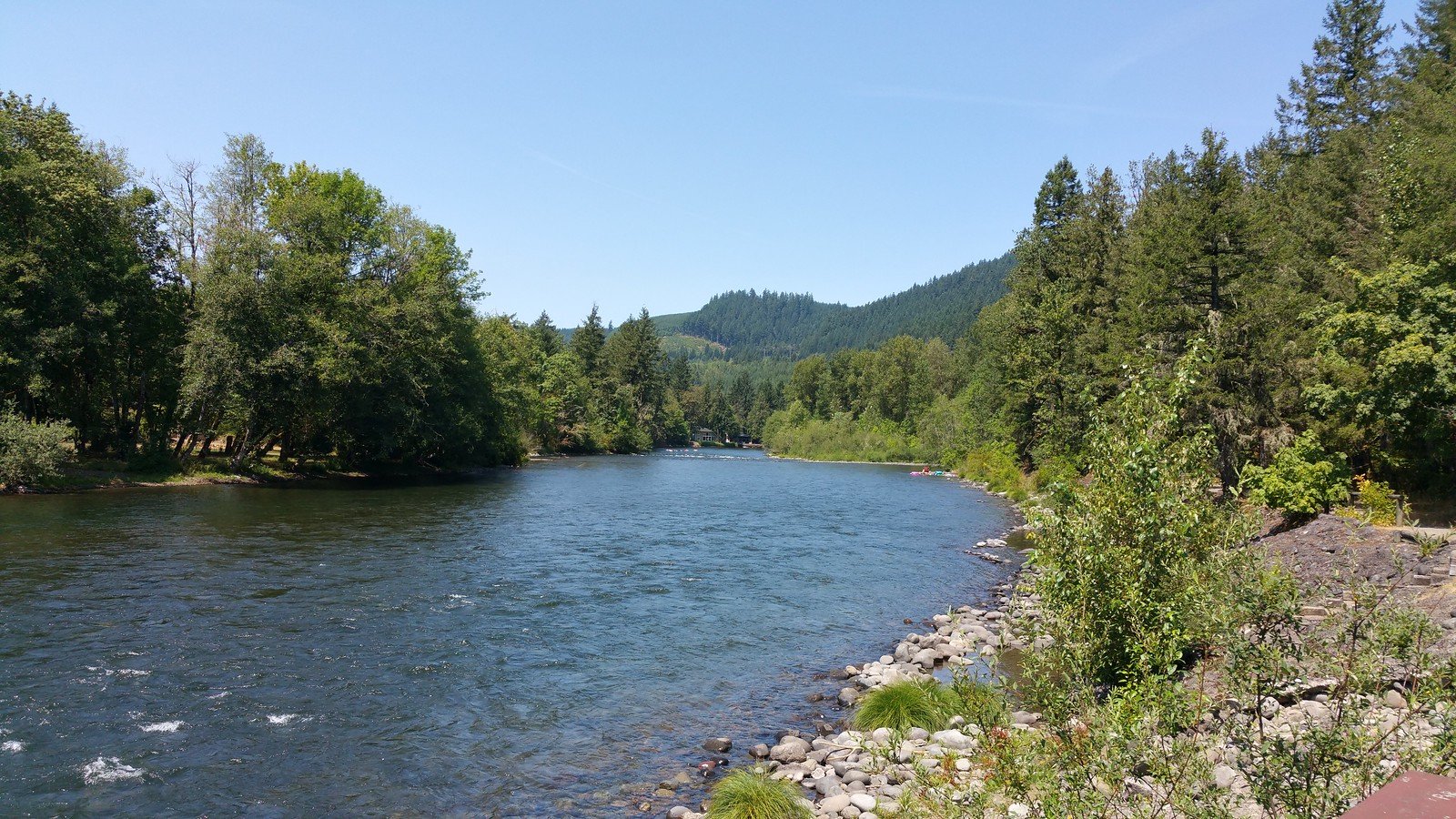
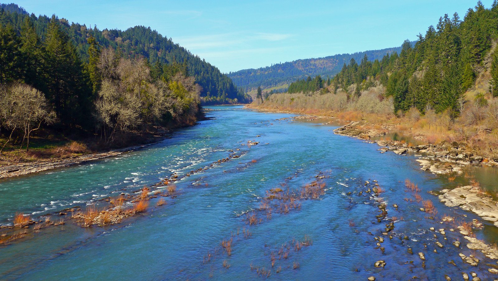
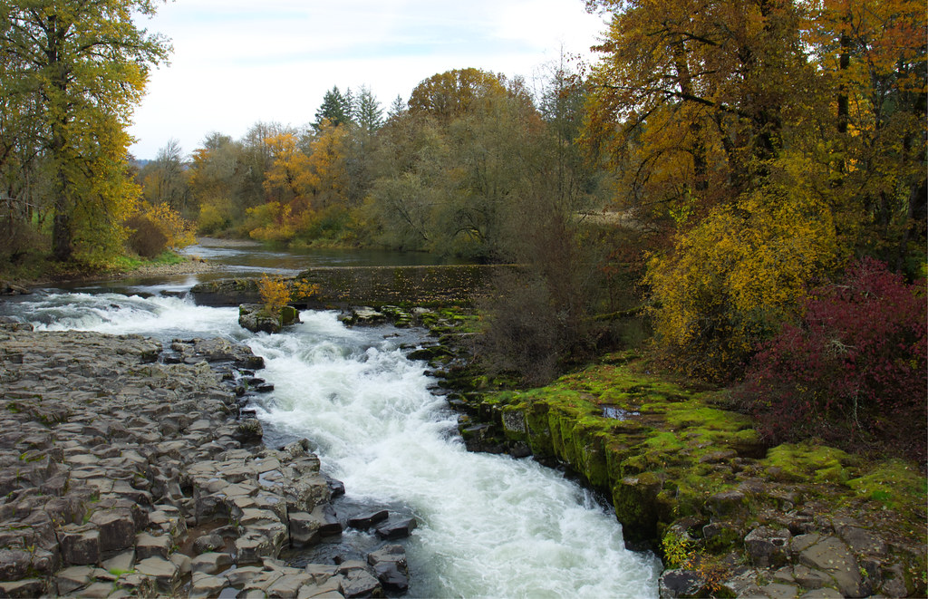
The North Fork Middle Fork Willamette River is a pristine waterway in western Oregon that offers some of the most thrilling whitewater in the Pacific Northwest. Originating at Waldo Lake in the Cascade Mountains, this river flows westward for approximately 30 miles before joining the Middle Fork Willamette River northwest of Oakridge. The river is renowned for its diverse paddling opportunities, ranging from expert-level rapids to more moderate stretches.
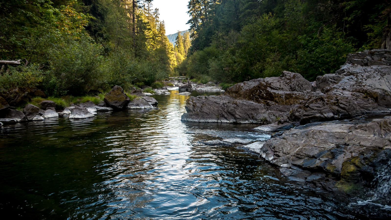
The upper section, known as the Miracle Mile, is a steep, boulder-strewn stretch of continuous Class V whitewater that serves as a training ground for professional kayakers. Downstream, the river enters a scenic gorge with Class III-IV rapids, featuring a notable 6-foot slot drop. Below the gorge, the river mellows somewhat, offering Class III-III+ rapids suitable for intermediate paddlers. The lower sections near Westfir provide beautiful scenery and enjoyable whitewater, making it a classic western Oregon river run.
Paddling difficulty ranges from Class III to V+, requiring advanced to expert skills for the upper sections and at least intermediate skills for the lower reaches. The river is typically run from late fall through spring when flows are optimal, though some sections may be runnable year-round.
The river corridor supports diverse flora and fauna, including old-growth Douglas fir forests, osprey, and various salmonid species. A key landmark is the Office Covered Bridge in Westfir, a bright red 180-foot truss that serves as a popular take-out point.
Primary access points include put-ins at North Fork Road mile 8.4 for the gorge section, and various take-outs including bridges at mile 6 and in Westfir. The nearby town of Oakridge serves as a base for many paddlers.
Designated as a Wild and Scenic River in 1988, the North Fork Middle Fork Willamette holds significant ecological and recreational value. Safety considerations include wood hazards, a river-wide weir at mile 8.3, and the highly technical nature of the upper rapids. While primarily used for day trips, the river's length and multiple access points allow for potential multi-day adventures for those willing to camp along its banks.
Overall, the North Fork Middle Fork Willamette River offers a quintessential Oregon paddling experience, combining challenging whitewater with stunning mountain scenery.
Curated routes
Hand-picked by the PaddleWays team, with put-ins, take-outs, paddle times and the hazards along the way.
RouteClass V
RouteClass IV–V
RouteClass III
Hazards
No paddler has reported a hazard here yet, so these are the dams, falls and big rapids on our map. Hazards change with flows and storms, so check them before you launch.
From the community
Nobody has shared a trip on North Fork Middle Fork Willamette River yet. Paddle it, then tell the next paddler how it went.
See exactly where the public can get on and off the river. Launch points and boat ramps are paired with PaddleWays' public land data so you know where you can legally land.
Public shoreline
96%of the river's shoreline is public
Flows, weather and a route-by-route verdict, so you know which stretch of the North Fork Middle Fork Willamette River is worth paddling today.
All Flow Stations
Live flows, marked hazards and fresh trip reports from paddlers who were just on the water, all in one place.





Every user gets free access to launch points, boat ramps, and public property parcels.
Loading popular cities...
PaddleWays gives you everything you need to plan smarter, paddle better, and own every trip from first launch to takeout.