Yaquina Bay
- Saltwater
- Bay
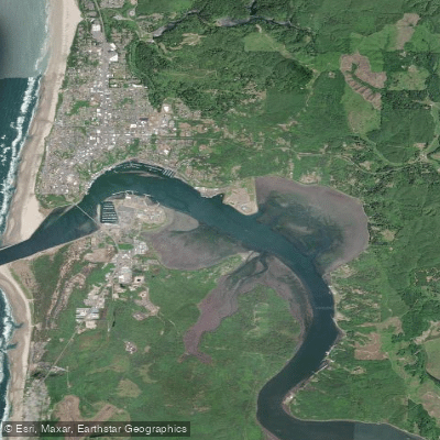
Yaquina Bay
- Saltwater
- Bay
- Sq. miles
- 2.4
- Boat Ramps
- 1
- Access Points
- 0
- Campsites
- 0
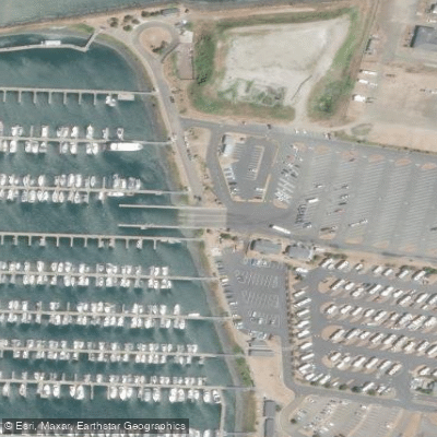
Yaquina Bay is a marine-dominated bay on the central Oregon Coast, offering paddlers a mix of historic waterfront activity and natural estuary scenery. The bay is characterized by its industrial working waterfront, including the Newport Bayfront with its fishing fleet, and the prominent Yaquina Bay Bridge. Paddlers can access the water from several specific launch points. A primary hand-launch site for small craft like kayaks is at Port Dock 7 on the Newport Bayfront, where guided tours typically depart. Another key access is Paddle Park, located at 10127 Yaquina Bay Road in Toledo, which provides a dedicated launch point with a pit toilet and parking. For a trip starting within the bay, a launch beside the Rogue Spirits Sunset Bar in the Newport Marina at 2122 SE Marine Science Drive is also used.
Tidal currents are a significant factor for trip planning. A described route from the Newport Marina upriver towards the Yakona Nature Preserve plans to utilize the incoming tide for assistance heading upriver and the ebb tide for the return, indicating that currents can be substantial and should be paddled with, not against, for efficiency and safety. The bay is exposed to wind, and fetch can build, making conditions more challenging, especially when combined with current. The water is cold year-round, with temperatures noted in the upper 50s Fahrenheit during summer. Paddlers must dress for immersion with appropriate insulation like a wetsuit or drysuit.
The bay features active boat traffic, including commercial fishing vessels. Paddlers must stay out of the main navigation channel used by larger boats and exercise caution when crossing. A common day trip involves paddling from the marina up the Yaquina River, passing the NOAA Marine Operations Center and the Hatfield Marine Science Center, following the south shore of the bay to Idaho Point, and then exploring King Slough towards the Yakona Nature Preserve. This route can cover 8 to 9 miles round trip. Wildlife viewing includes various bird species that inhabit the bridge and estuary areas. Facilities are limited to basic launch sites and restrooms at points like Paddle Park and the Newport Marina. The overall experience blends views of a historic, working port with the quieter, marshy edges of a coastal estuary.
Water access, boat ramps & amenities
Learn how to get on Yaquina Bay. Uncover great paddling access points, boat ramps, and all the facilities you need for an unforgettable day on the water. Some locations shown may border or include private property. Always check property boundaries and applicable regulations before visiting. PaddleWays's Public & Private Land layer can help you plan your access with confidence.
Paddle smarter with real-time insights
Whether you're en route and conditions shift or you're looking for the best spot based on current flows, we enable you to make informed decisions on the fly.








Find Places to Paddle

Over 400,000 Places to Paddle
Every user gets free access to launch points, boat ramps, and public property parcels.


Tides, wind & water conditions (10 day forecast)
On open water, wind and tide matter as much as the weather. See the best times to paddle Yaquina Bay and check the marine forecast before you launch.
Loading tide predictions…
Paddling near Yaquina Bay
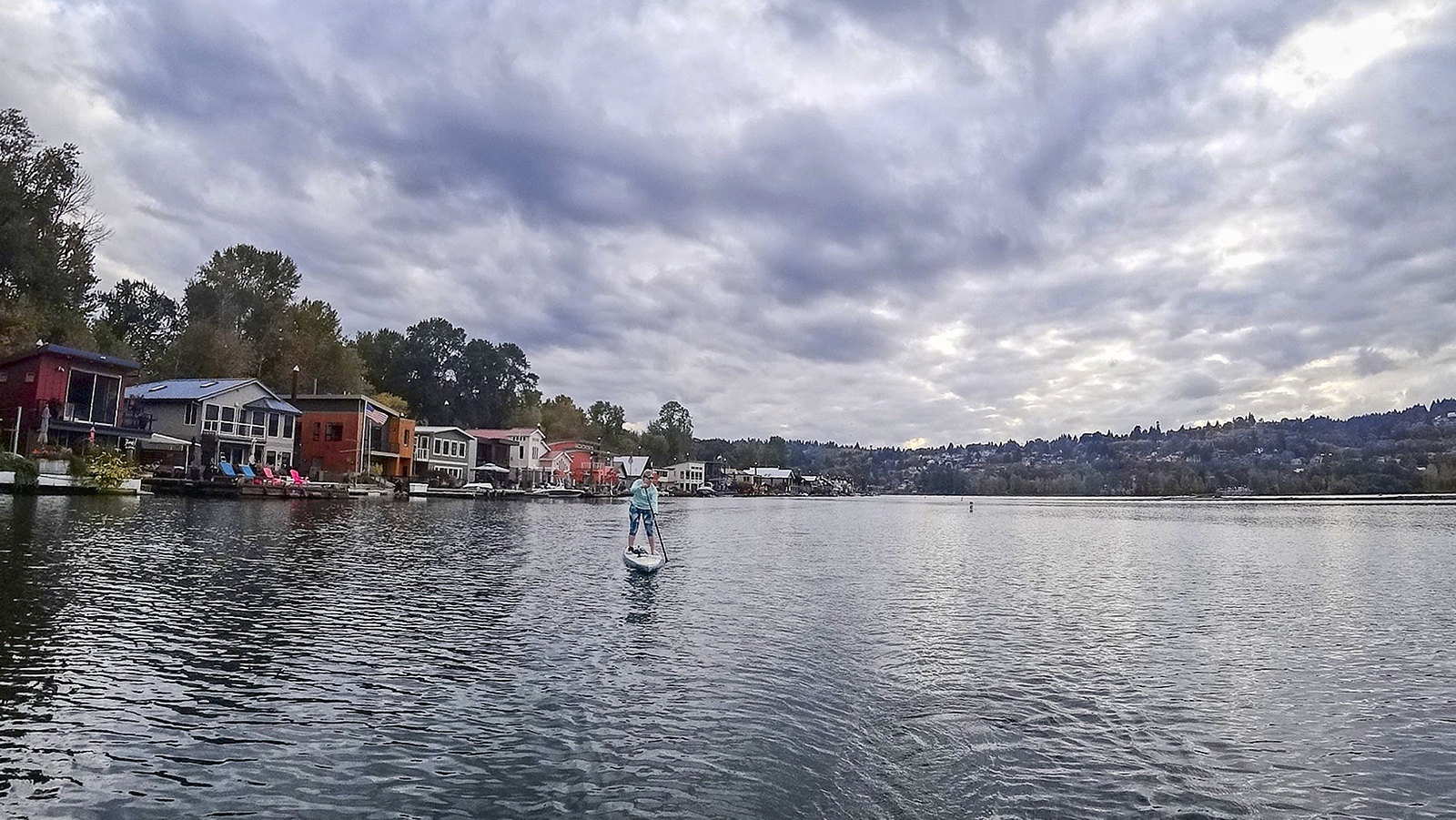
Willamette River
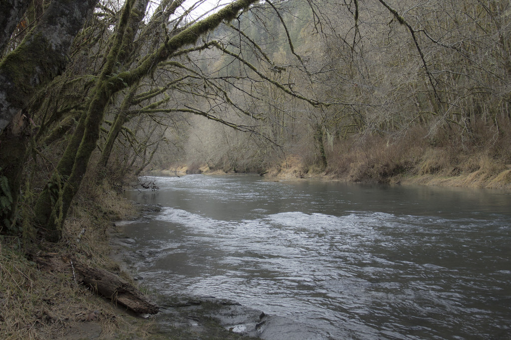
Alsea River
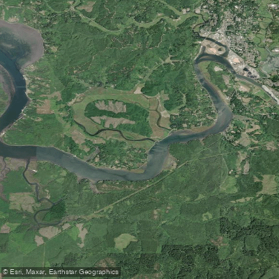
Yaquina River
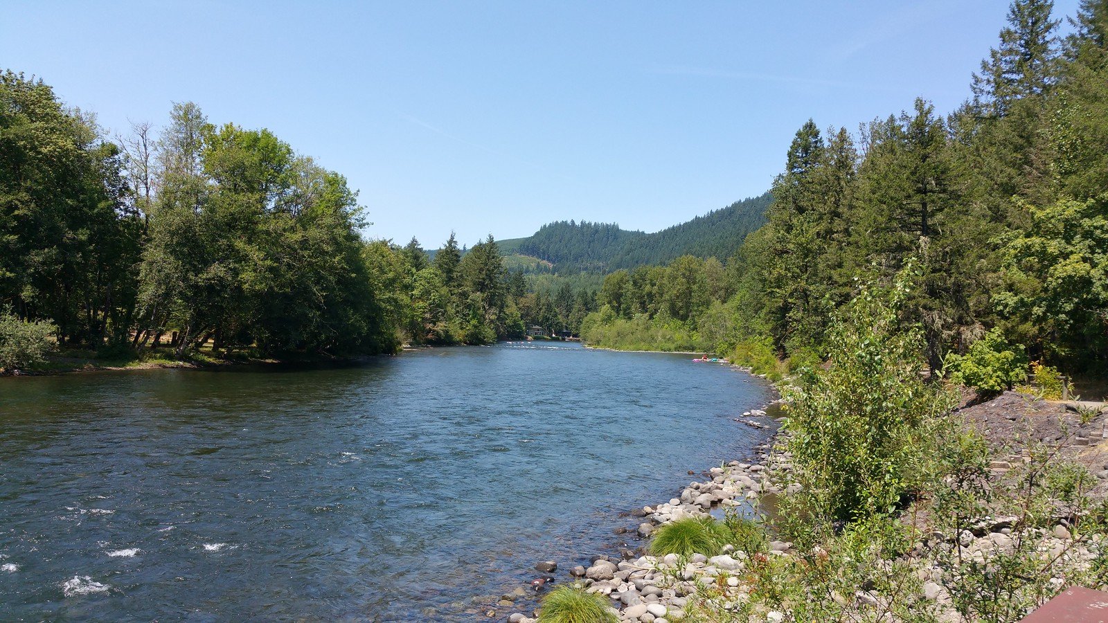
North Santiam River
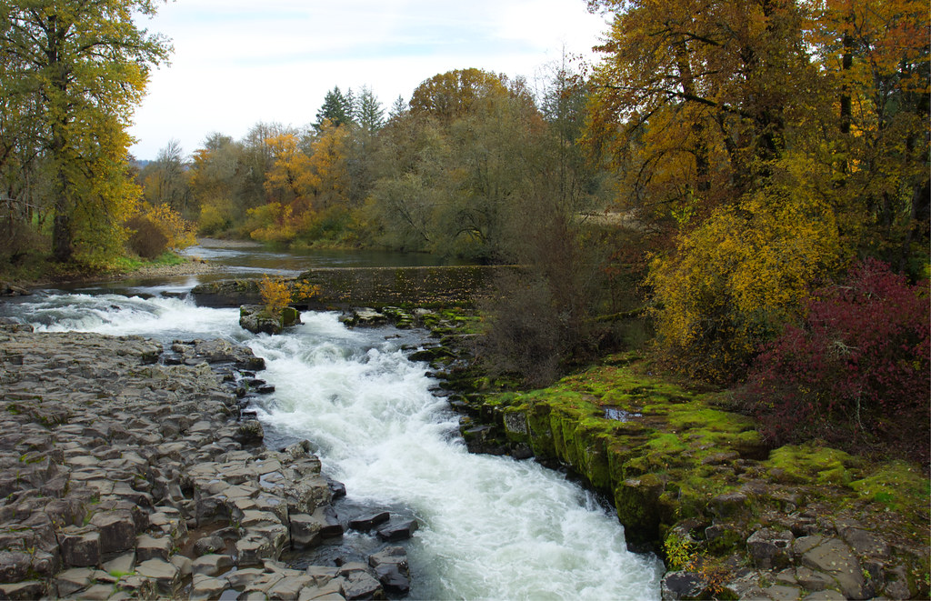
Thomas Creek
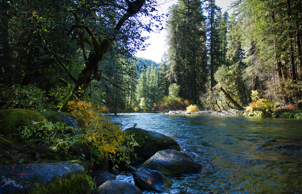
McKenzie River
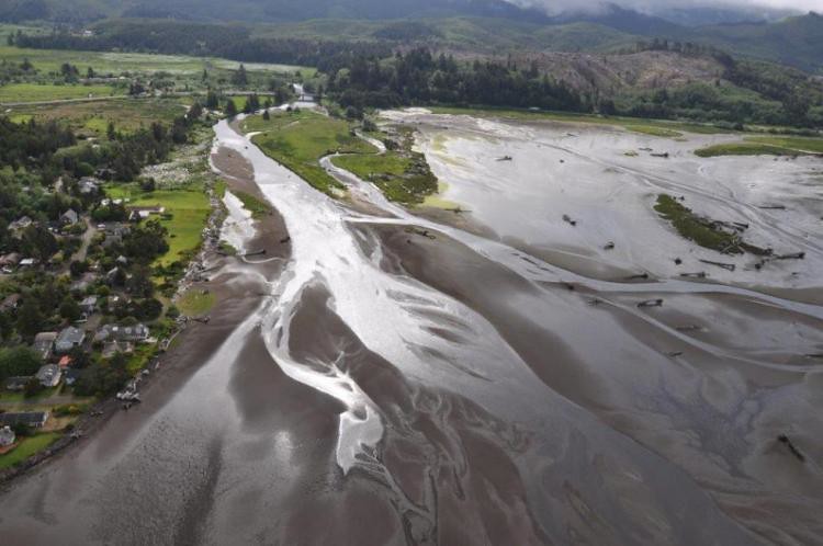
Siletz River
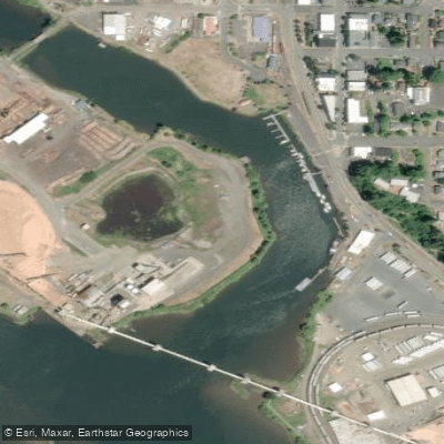
Depot Slough
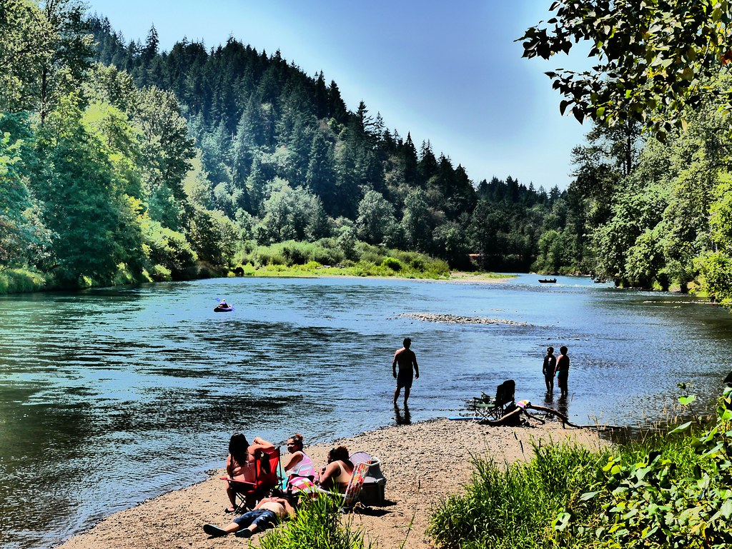
Middle Fork Willamette River
Explore Oregon waters
Top paddling waters
Popular Cities
Loading popular cities...
Explore near Yaquina Bay
Access points
Nearby waters
More in Oregon

Smarter Paddling Starts in the App.
Paddleways gives you everything you need to plan smarter, paddle better, and own every trip from first launch to takeout.