Yaquina River
- Saltwater
- Tidal river
Yaquina River
- Saltwater
- Tidal river
- Sq. miles
- 2
- Boat Ramps
- 1
- Access Points
- 0
- Campsites
- 0
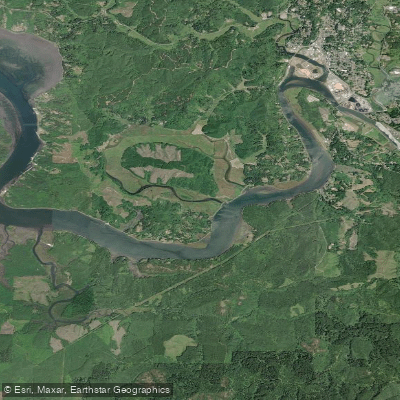
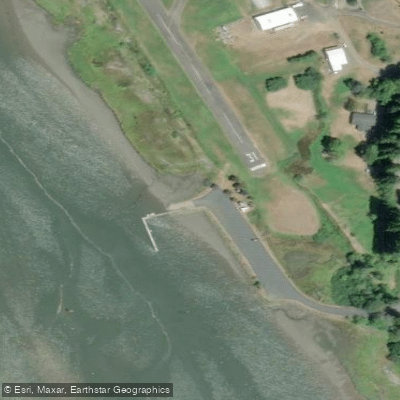
The Yaquina River is a nearly 60-mile tidal river flowing from the Central Oregon Coast Range to the Pacific Ocean at Newport. For paddlers, the character of the river changes significantly between its inland reaches and the broad, exposed Yaquina Bay near the ocean. Inland, around the town of Toledo, the river offers smooth canals even when coastal winds are strong, providing a more sheltered paddling environment. The ideal spot to drop in is often cited as the modern boat launch in Toledo's Waterfront Park, which is a concrete ramp with parking. Other public access points include the Airport boat ramp near Toledo and Elk City Park, which has a boat ramp, parking, restrooms, and a fee. In Newport, a dedicated canoe/kayak launch exists at the southeast corner of the Newport Marina, providing access to Yaquina Bay.
Paddling on the Yaquina River requires careful attention to tides and currents, as it is a tidal waterway. A recommended route from the Newport Marina involves heading upriver with the assistance of an incoming tide and returning with the ebb tide and river current. The bay and lower river can experience significant wind, fetch, and boat traffic, including commercial fishing vessels. Trips here are rated for experienced paddlers due to distance, wind potential, and current, with water temperatures typically in the upper 50s Fahrenheit. Proper immersion protection is required. The river hosts a mix of natural and industrial scenery. Paddling upstream from Toledo offers views of a historic pulp mill and a unique conveyor system known locally as the "GP Pipe" that transports wood chips across the river. Downstream towards the bay, paddlers pass marinas, the NOAA Marine Operations Center, the Hatfield Marine Science Center, and can explore sloughs like King Slough leading to natural areas such as the Yakona Nature Preserve. The best time to paddle is generally from spring through fall.
Water access, boat ramps & amenities
Learn how to get on Yaquina River. Uncover great paddling access points, boat ramps, and all the facilities you need for an unforgettable day on the water. Some locations shown may border or include private property. Always check property boundaries and applicable regulations before visiting. PaddleWays's Public & Private Land layer can help you plan your access with confidence.
Paddle smarter with real-time insights
Whether you're en route and conditions shift or you're looking for the best spot based on current flows, we enable you to make informed decisions on the fly.








Find Places to Paddle

Over 400,000 Places to Paddle
Every user gets free access to launch points, boat ramps, and public property parcels.


Tides, wind & water conditions (10 day forecast)
On open water, wind and tide matter as much as the weather. See the best times to paddle Yaquina River and check the marine forecast before you launch.
Loading tide predictions…
Paddling near Yaquina River
Willamette River
Alsea River
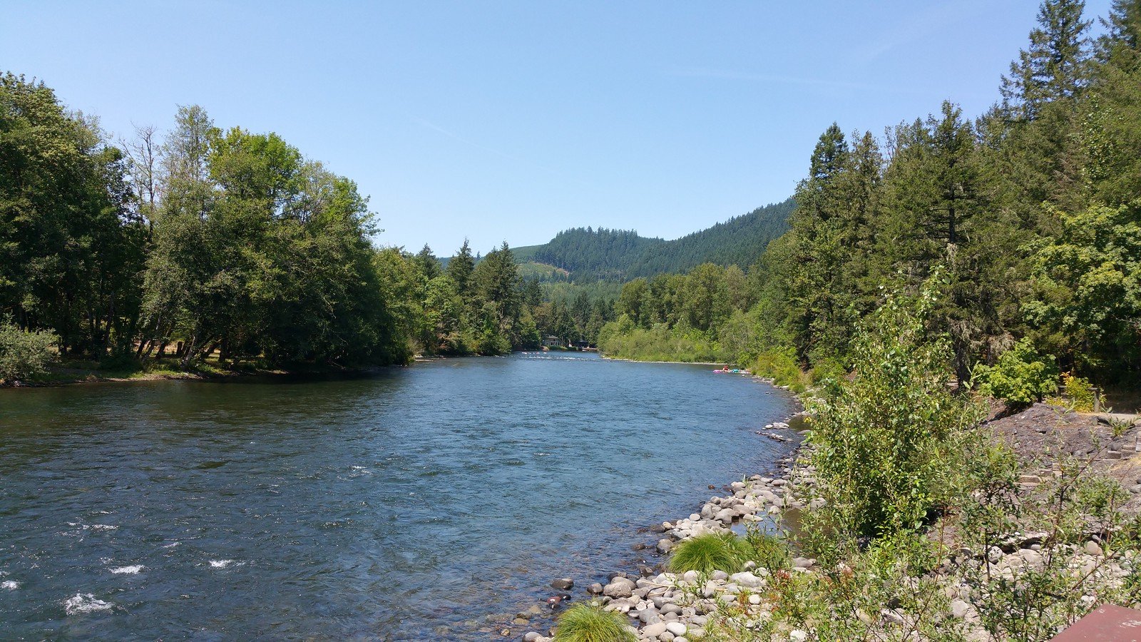
North Santiam River
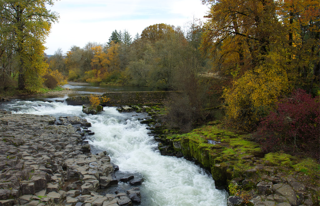
Thomas Creek
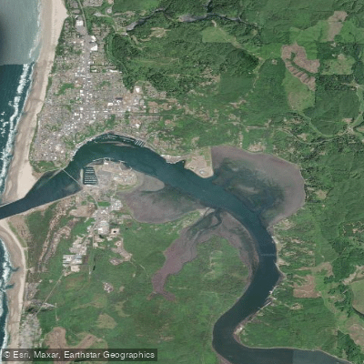
Yaquina Bay
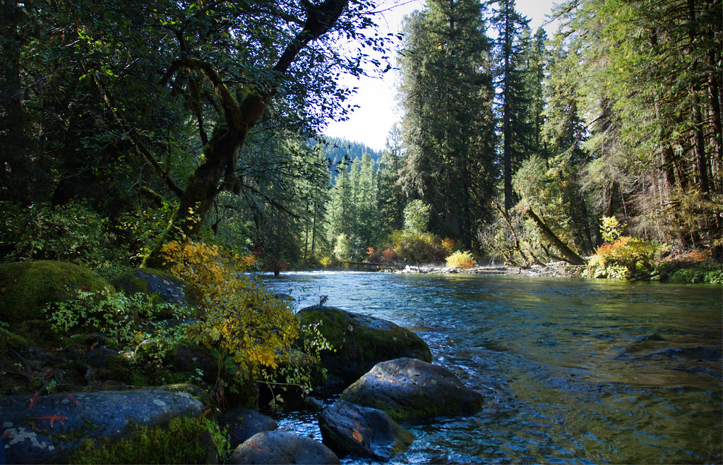
McKenzie River
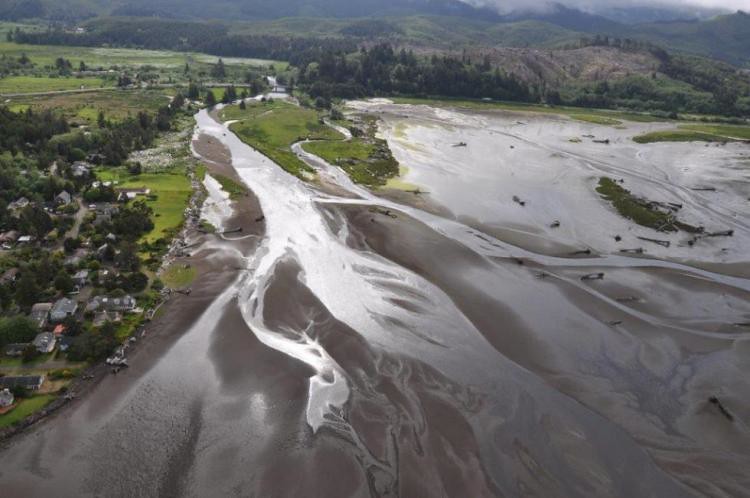
Siletz River
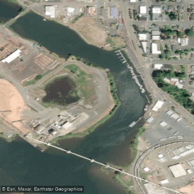
Depot Slough
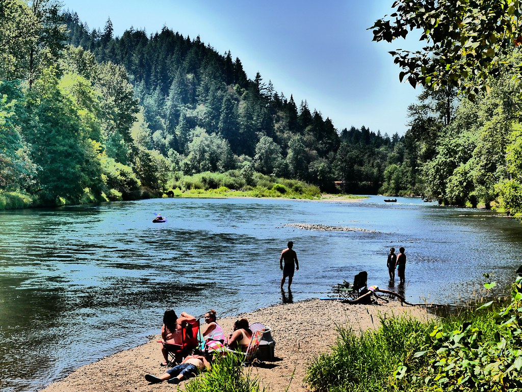
Middle Fork Willamette River
Explore Oregon waters
Top paddling waters
Popular Cities
Loading popular cities...
Explore near Yaquina River
Access points
Nearby waters
More in Oregon

Smarter Paddling Starts in the App.
Paddleways gives you everything you need to plan smarter, paddle better, and own every trip from first launch to takeout.