Lagunitas Creek
Lagunitas Creek
- Boat Ramps
- 0
- Access Points
- 0
- Campsites
- 11
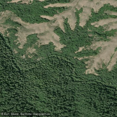
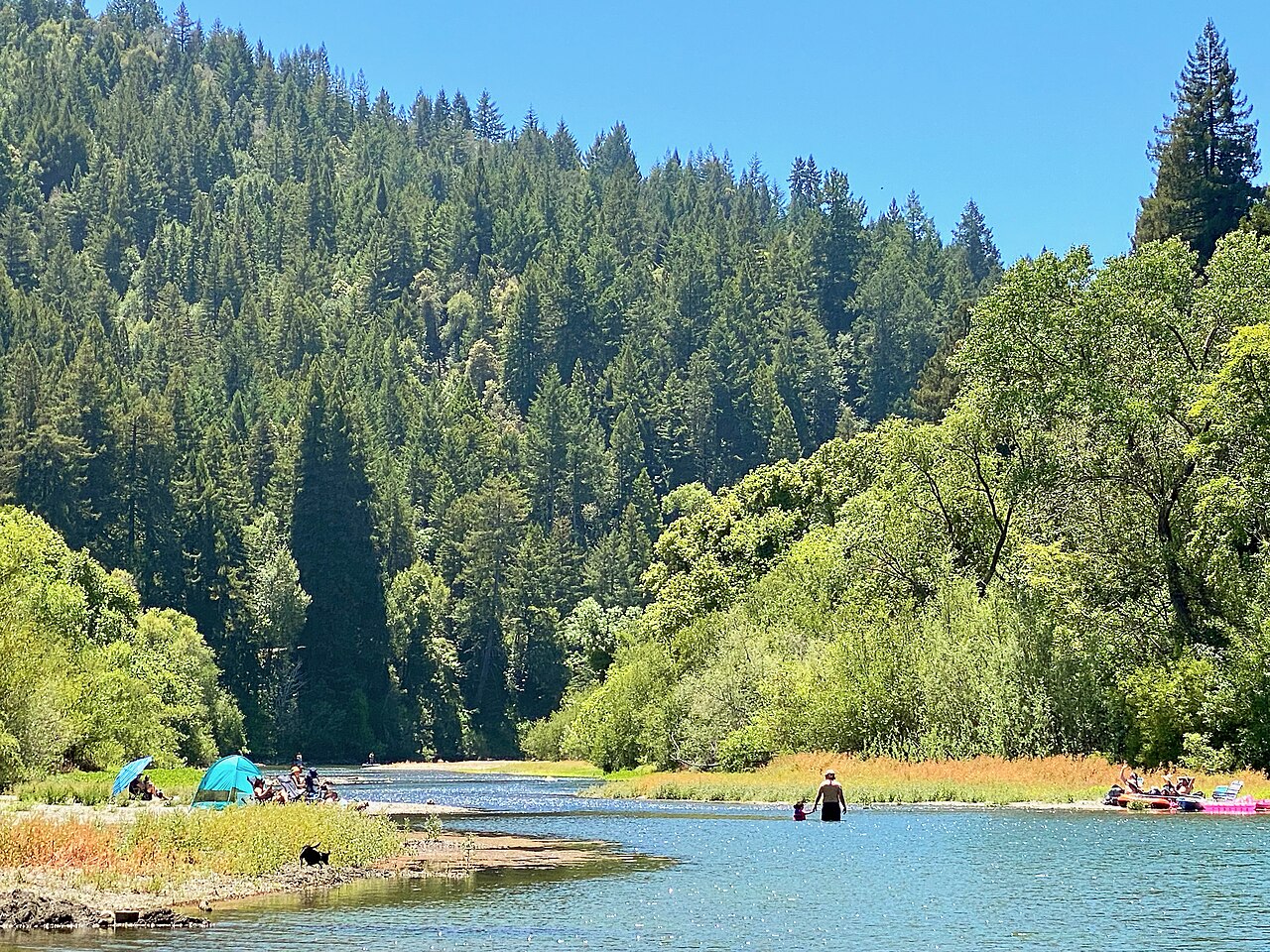
Lagunitas Creek is a vital waterway in Marin County, California, originating in the northern slopes of Mount Tamalpais and flowing northwestward for approximately 25 miles before emptying into Tomales Bay. This creek system, part of the larger Tomales Bay watershed, plays a crucial role in the region's ecology and offers diverse paddling experiences. The creek's lower reaches provide excellent flatwater paddling opportunities, particularly in the restored Giacomini Wetlands near Point Reyes Station. This 550-acre ecosystem, once a dairy ranch, now serves as a rich habitat for diverse wildlife, especially birds. Paddlers can explore the meandering waterways of the wetlands, observing the returning flora and fauna that have flourished since the area's restoration.
From Point Reyes Station, kayakers and stand-up paddleboarders can embark on a scenic 5-mile journey downstream to Tomales Bay. This trip takes paddlers through shaded creek environments, past landmarks like Whitehouse Pool, and into the expansive bay. The transition from creek to bay offers a unique perspective on the region's varied ecosystems.
Whitehouse Pool Park, located at 12349 Sir Francis Drake Blvd in Inverness, serves as a popular access point for both short excursions and longer trips. Its calm waters make it suitable for beginners and families, while more experienced paddlers can use it as a starting point for extended explorations of Lagunitas Creek and Tomales Bay.
The creek's paddling difficulty is primarily flatwater, making it accessible to a wide range of skill levels. However, tidal influences become more pronounced as the creek approaches Tomales Bay, requiring awareness of tidal schedules for optimal paddling conditions and access. High tides exceeding six feet provide the best opportunities for exploring the wetlands and creek margins.
Lagunitas Creek is renowned for its ecological significance, particularly as critical habitat for endangered Coho salmon and steelhead trout. The watershed's health is crucial for these species' survival, making the creek a focus of ongoing conservation efforts. Paddlers may glimpse these iconic fish during spawning seasons, along with river otters, harbor seals, and a variety of waterfowl and shorebirds.
When planning a trip, paddlers should be aware of local regulations, particularly in protected areas like the Point Reyes National Seashore. It's essential to practice Leave No Trace principles and respect wildlife viewing guidelines. While multi-day trips are possible by combining creek paddling with exploration of Tomales Bay, most excursions on Lagunitas Creek itself are day trips.
Access to Lagunitas Creek is relatively easy, with Point Reyes Station serving as the primary gateway. This charming town offers amenities for paddlers, including outfitters providing rentals and guided tours. The creek's proximity to the San Francisco Bay Area makes it a popular destination for both locals and visitors seeking a peaceful paddling experience in one of California's most ecologically diverse regions.
Water access, boat ramps & amenities
Learn how to get on Lagunitas Creek. Uncover great paddling access points, boat ramps, and all the facilities you need for an unforgettable day on the water. Some locations shown may border or include private property. Always check property boundaries and applicable regulations before visiting. PaddleWays's Public & Private Land layer can help you plan your access with confidence.
Paddle smarter with real-time insights
Whether you're en route and conditions shift or you're looking for the best spot based on current flows, we enable you to make informed decisions on the fly.








Find Places to Paddle

Over 400,000 Places to Paddle
Every user gets free access to launch points, boat ramps, and public property parcels.


Water and weather conditions (10 day forecast)
See the best times to paddle Lagunitas Creek and check the forecast before you go.
LAGUNITAS C A SAMUEL P TAYLOR STATE PARK CA
All Flow Stations
Paddling near Lagunitas Creek
Russian River
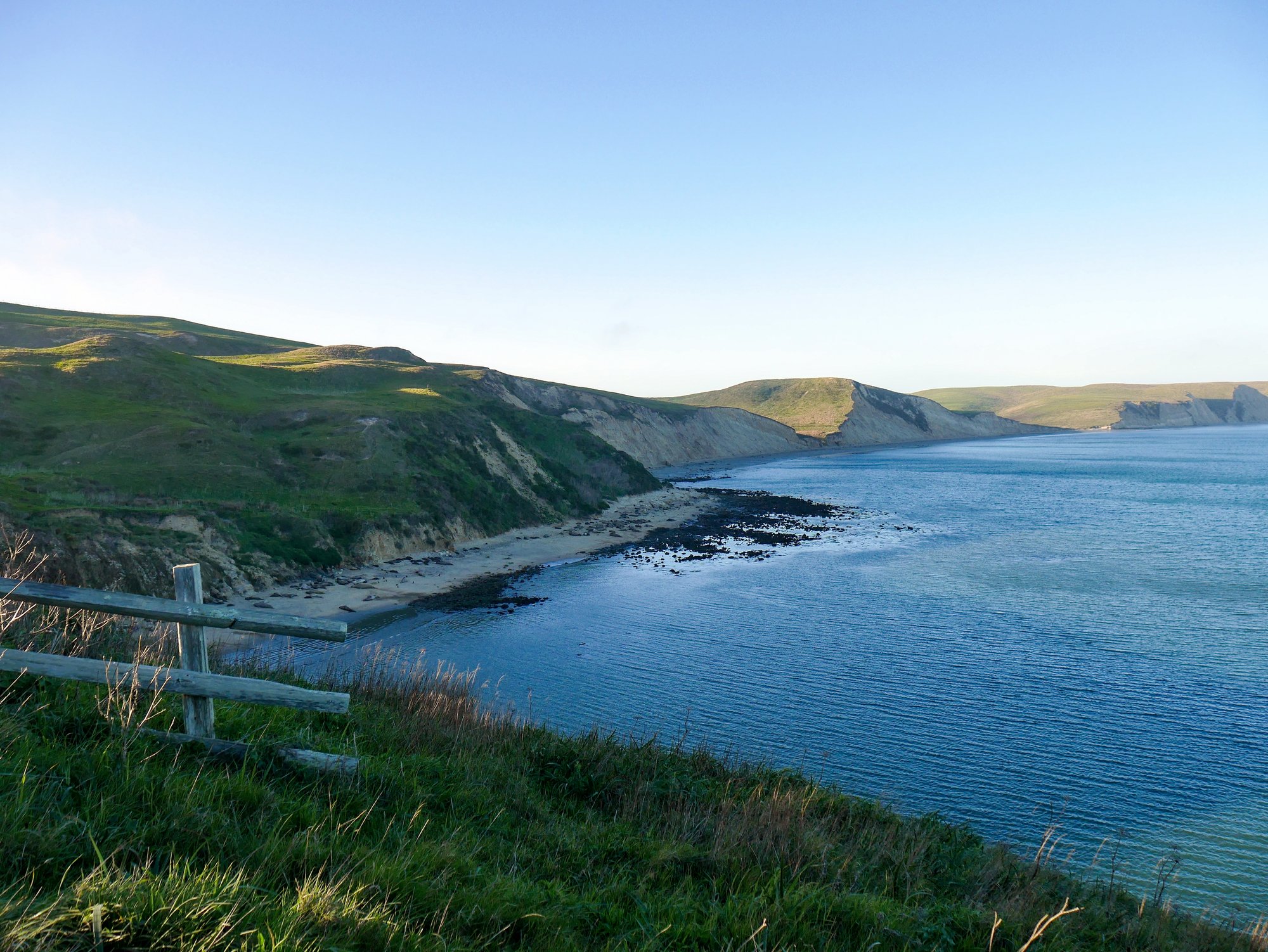
Drakes Bay
Napa River
Nicasio Reservoir
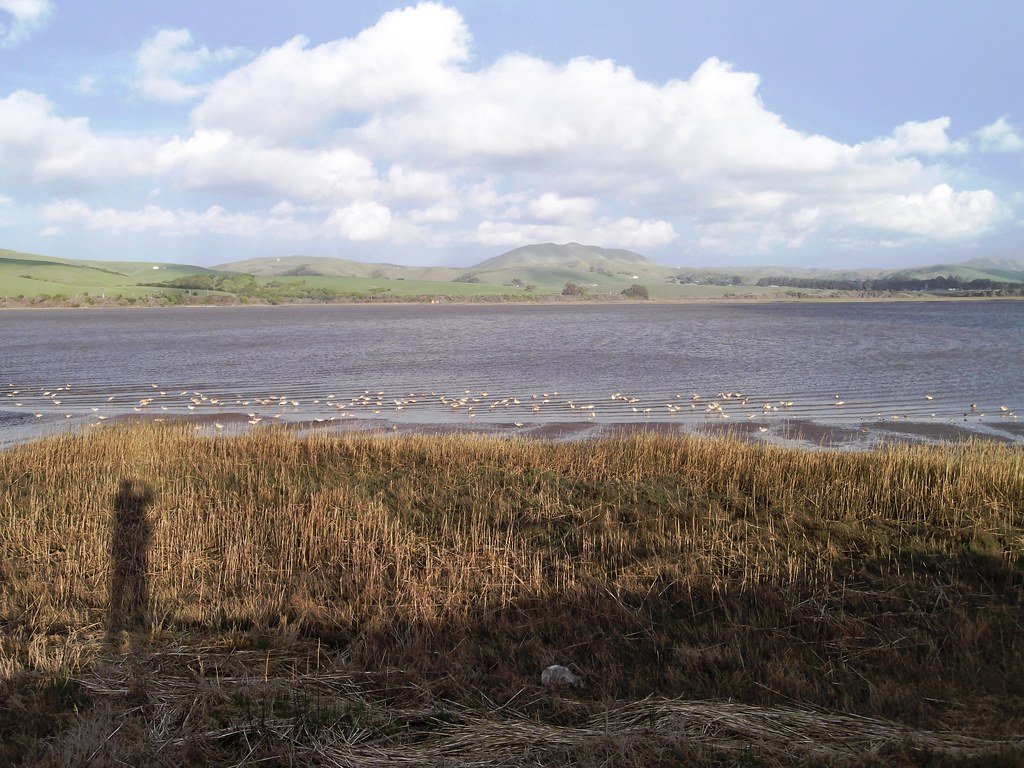
Tomales Bay
Mark West Creek
Green Valley Creek

San Francisco Bay
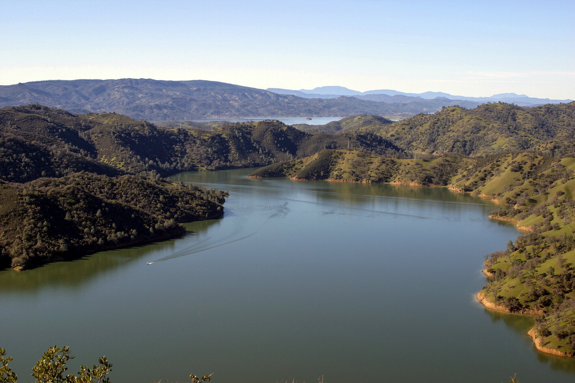
Lake Berryessa
Explore California waters
Top paddling waters
Popular Cities
Loading popular cities...
Explore near Lagunitas Creek
Access points
Nearby waters
More in California

Smarter Paddling Starts in the App.
Paddleways gives you everything you need to plan smarter, paddle better, and own every trip from first launch to takeout.