Upper Crystal Springs Reservoir
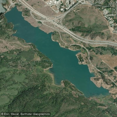
Upper Crystal Springs Reservoir
- Boat Ramps
- 0
- Access Points
- 0
- Campsites
- 0
Upper Crystal Springs Reservoir is part of the Crystal Springs Reservoir system located in San Mateo County, California. The reservoir sits atop the San Andreas Rift Zone and was formed in 1877 when an earthen dam was constructed to submerge Laguna Creek. Highway 92 now crosses the causeway between Upper and Lower Crystal Springs Reservoirs.
Paddling is not permitted on Upper Crystal Springs Reservoir. The entire Crystal Springs Reservoir system is a protected water source for San Francisco and surrounding areas, and public access to the water is prohibited. While there are trails that offer views of the reservoir, direct water access is not allowed due to water quality protection measures.
The Crystal Springs Regional Trail runs along the eastern edge of the reservoir, providing scenic views for hikers, cyclists, and equestrians. The trail is over 15 miles long and divided into three segments. The Upper Crystal Springs Reservoir can be viewed from the southernmost Crystal Springs segment, which is unpaved and open only to hikers and horseback riders.
Wildlife viewing opportunities are abundant in the protected watershed lands surrounding the reservoir. Bald eagles have nested near the reservoir since 2012, the first recorded nesting in San Mateo County in almost 100 years. The area also provides habitat for rare and endangered plant species.
Historically, the reservoir covers the former site of Laguna Grande, a natural lake where the Portolà Expedition camped in 1769. The surrounding lands were once inhabited by Ohlone people before European contact.
While paddling is not permitted, the Crystal Springs Reservoir system plays a vital role in the region's water supply. Some of the water comes from local precipitation, but most is piped in from Hetch Hetchy Reservoir in Yosemite National Park and other watersheds. The reservoirs serve as an emergency backup water supply for the San Francisco Peninsula.
Water access, boat ramps & amenities
Learn how to get on Upper Crystal Springs Reservoir. Uncover great paddling access points, boat ramps, and all the facilities you need for an unforgettable day on the water. Some locations shown may border or include private property. Always check property boundaries and applicable regulations before visiting. PaddleWays's Public & Private Land layer can help you plan your access with confidence.
Paddle smarter with real-time insights
Whether you're en route and conditions shift or you're looking for the best spot based on current flows, we enable you to make informed decisions on the fly.








Find Places to Paddle

Over 400,000 Places to Paddle
Every user gets free access to launch points, boat ramps, and public property parcels.


Water and weather conditions (10 day forecast)
See the best times to paddle Upper Crystal Springs Reservoir and check the forecast before you go.
No forecast data available.
Paddling near Upper Crystal Springs Reservoir

San Joaquin River

Sacramento River

San Francisco Bay
Lake Chabot
Upper San Leandro Reservoir
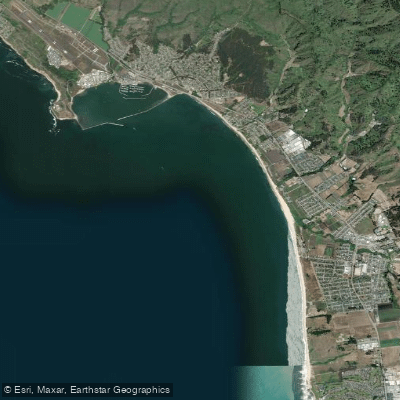
Half Moon Bay
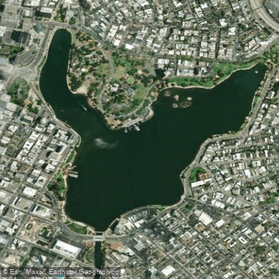
Lake Merritt
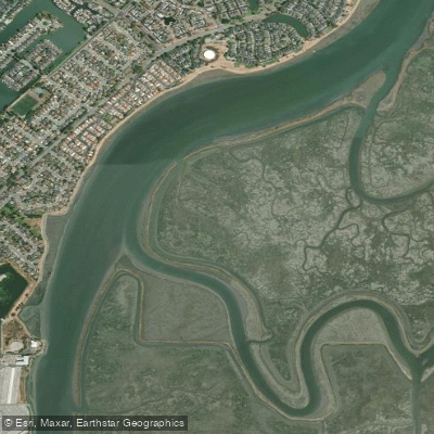
Corkscrew Slough
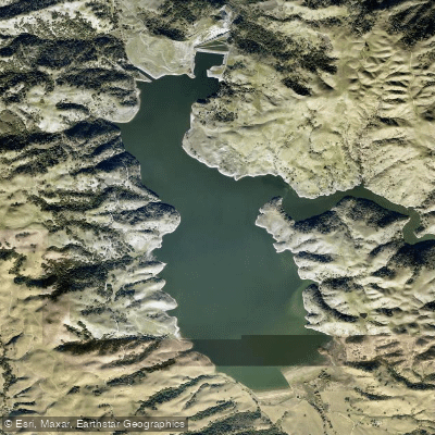
Calaveras Reservoir
Explore California waters
Top paddling waters
Popular Cities
Loading popular cities...
Explore near Upper Crystal Springs Reservoir
Access points
Nearby waters
More in California

Smarter Paddling Starts in the App.
Paddleways gives you everything you need to plan smarter, paddle better, and own every trip from first launch to takeout.