Lower Crystal Springs Reservoir
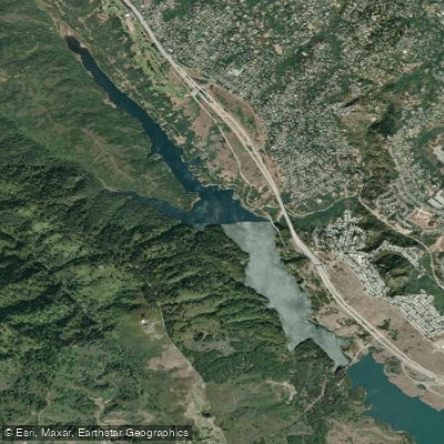
Lower Crystal Springs Reservoir
- Boat Ramps
- 0
- Access Points
- 0
- Campsites
- 0
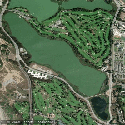
Lower Crystal Springs Reservoir is one of two artificial lakes that make up the Crystal Springs Reservoir system in San Mateo County, California. The reservoir is situated in the rift valley created by the San Andreas Fault, just west of San Mateo and Hillsborough.
Unfortunately, Lower Crystal Springs Reservoir is not open to public access for paddling or other recreational activities on the water. The reservoir serves as a crucial water supply source for the San Francisco Bay Area and is protected to ensure water quality.
While paddling is not allowed, visitors can enjoy views of the reservoir from the Crystal Springs Regional Trail that runs alongside it. The trail offers tranquil vistas of the long, narrow reservoir nestled in the northern Santa Cruz Mountains. The surrounding area is known for its biodiversity, including rare and endangered plant species.
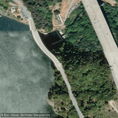
The reservoir was formed in 1888 when the 150-foot tall concrete Crystal Springs Dam was built across San Mateo Creek. It has a surface area of 1,323 acres and a storage capacity of 57,910 acre-feet. Water in the reservoir comes from local precipitation as well as water piped in from Hetch Hetchy Reservoir and other watersheds.
Of historical note, the reservoir now covers the former town of Crystal Springs, a small resort community that was submerged when the dam was constructed in the late 19th century. The area has long been significant, with the Ohlone people inhabiting the region for thousands of years before European contact.
Wildlife enthusiasts may be interested to know that in 2012, a pair of bald eagles built a nest near the northwest corner of the reservoir - the first recorded bald eagle nest in San Mateo County in nearly 100 years. The eagles have successfully bred in subsequent years.
While paddling is not an option, the Crystal Springs Regional Trail provides opportunities for hiking, jogging, cycling and horseback riding with scenic reservoir views. The trail is open from sunrise to sunset and is especially popular on weekends.
Water access, boat ramps & amenities
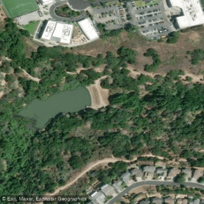
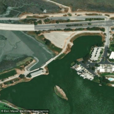
Learn how to get on Lower Crystal Springs Reservoir. Uncover great paddling access points, boat ramps, and all the facilities you need for an unforgettable day on the water. Some locations shown may border or include private property. Always check property boundaries and applicable regulations before visiting. PaddleWays's Public & Private Land layer can help you plan your access with confidence.
Paddle smarter with real-time insights
Whether you're en route and conditions shift or you're looking for the best spot based on current flows, we enable you to make informed decisions on the fly.








Find Places to Paddle

Over 400,000 Places to Paddle
Every user gets free access to launch points, boat ramps, and public property parcels.


Water and weather conditions (10 day forecast)
See the best times to paddle Lower Crystal Springs Reservoir and check the forecast before you go.
SAN MATEO C BL LO CRYSTAL SP RES NR SAN MATEO CA
Paddling near Lower Crystal Springs Reservoir

San Joaquin River

Sacramento River

San Francisco Bay
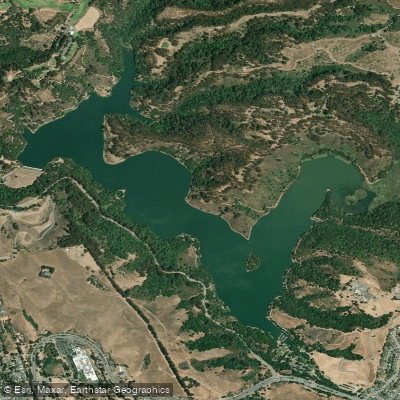
Lake Chabot
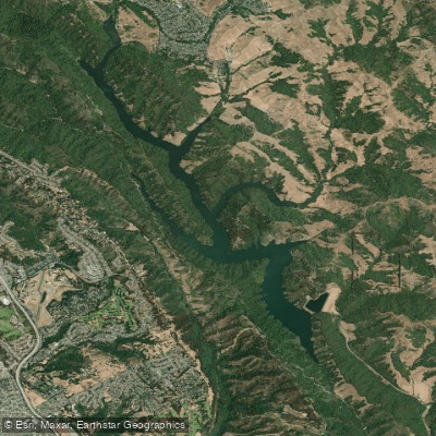
Upper San Leandro Reservoir
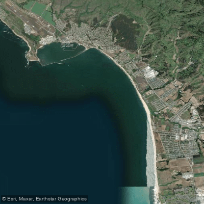
Half Moon Bay
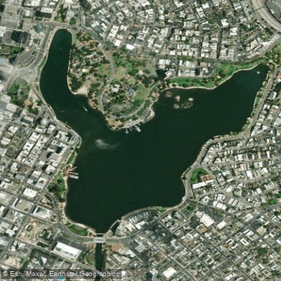
Lake Merritt
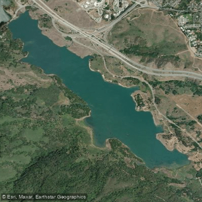
Upper Crystal Springs Reservoir
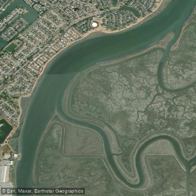
Corkscrew Slough
Lake Merced
Explore California waters
Top paddling waters
Popular Cities
Loading popular cities...
Explore near Lower Crystal Springs Reservoir
Access points
Nearby waters
More in California

Smarter Paddling Starts in the App.
Paddleways gives you everything you need to plan smarter, paddle better, and own every trip from first launch to takeout.