Biloxi Bay
- Saltwater
- Bay
Biloxi Bay
- Saltwater
- Bay
- Sq. miles
- 8.4
- Boat Ramps
- 2
- Access Points
- 0
- Campsites
- 1
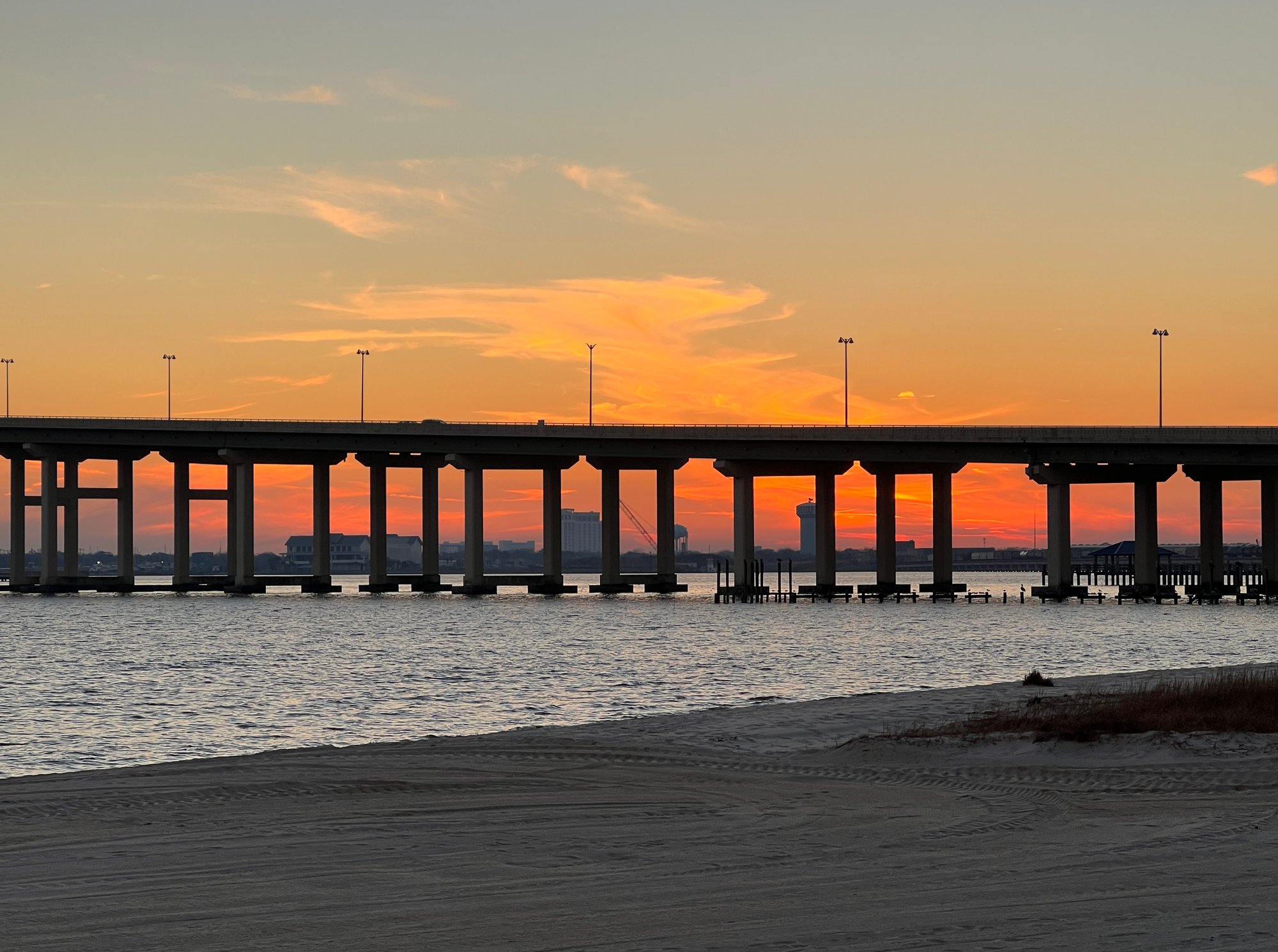
Biloxi Bay is a coastal bay on the Mississippi Gulf Coast, offering a mix of protected and open-water paddling experiences. The bay is bordered by the mainland towns of Biloxi, D'Iberville, and Ocean Springs, with Deer Island providing a natural barrier to the south, separating the bay from the Mississippi Sound. This geography creates generally calm conditions within the bay itself, though the eastern tip of Deer Island is a point where the dynamics of the bay and the Sound can mix, especially on windy days. Paddlers should be aware of tidal influence, particularly when exploring features like the trench on the eastern end of Deer Island, which is accessible at high tide but can become shallow and potentially trap paddlers on a falling tide.
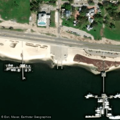
Several public boat ramps provide excellent access to the bay. Key launch points include the Hiller Park Boat Launch in Biloxi, which offers quick access with ample trailer parking, and the Kuhn Street Boat Launch, which provides close access to the barrier islands. In Ocean Springs, paddlers can launch from the Ocean Springs Harbor at the east end of Front Beach or anywhere along Front Beach itself. From there, common routes include exploring the harbor, paddling around the Biloxi Bay Bridge, heading towards Davis Bayou and Marsh Point, or crossing to Deer Island. The paddle from Biloxi Beach to Deer Island is take about ten minutes. On the bay side of Deer Island, a small cove offers a potential break spot, though insects can be prevalent.
The overall character is one of accessible coastal paddling with views of shrimp boats, pelicans, and historic sites. The bay connects to a network of inland waterways, including the Biloxi Back Bay, Mullet Lake, and the Biloxi River Marshes Coastal Preserve to the north, offering extended exploration opportunities. While the bay waters are generally calm, paddlers should be mindful of wind exposure, particularly when venturing near the mouth or into the Mississippi Sound, and always check tide conditions before exploring shallow inlets.
Water access, boat ramps & amenities
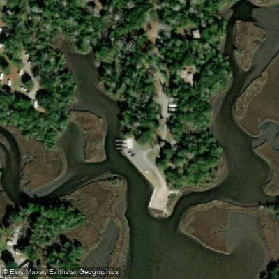
Learn how to get on Biloxi Bay. Uncover great paddling access points, boat ramps, and all the facilities you need for an unforgettable day on the water. Some locations shown may border or include private property. Always check property boundaries and applicable regulations before visiting. PaddleWays's Public & Private Land layer can help you plan your access with confidence.
Paddle smarter with real-time insights
Whether you're en route and conditions shift or you're looking for the best spot based on current flows, we enable you to make informed decisions on the fly.








Find Places to Paddle

Over 400,000 Places to Paddle
Every user gets free access to launch points, boat ramps, and public property parcels.


Tides, wind & water conditions (10 day forecast)
On open water, wind and tide matter as much as the weather. See the best times to paddle Biloxi Bay and check the marine forecast before you launch.
Loading tide predictions…
Paddling near Biloxi Bay

Pascagoula River

Pearl River
Mississippi Sound

Biloxi River
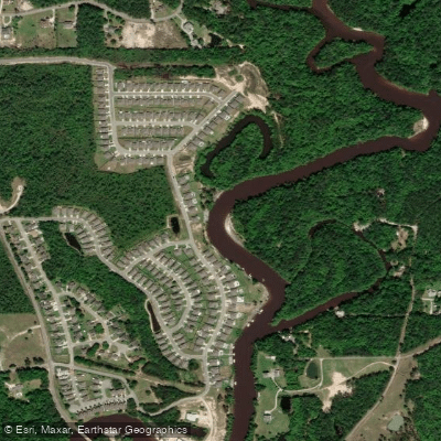
Tchoutacabouffa River
Tuxachanie Creek
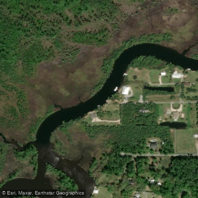
Old Fort Bayou
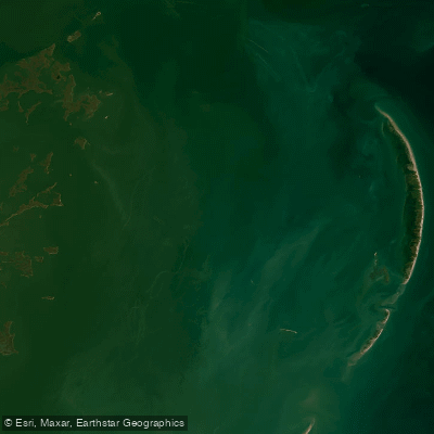
Chandeleur Sound
Black Creek
Explore Mississippi waters
Top paddling waters
Popular Cities
Loading popular cities...
Explore near Biloxi Bay
Access points
Nearby waters
More in Mississippi

Smarter Paddling Starts in the App.
Paddleways gives you everything you need to plan smarter, paddle better, and own every trip from first launch to takeout.