Cat Island Channel
- Saltwater
- Channel
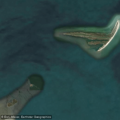
Cat Island Channel
- Saltwater
- Channel
- Sq. miles
- 45
- Boat Ramps
- 0
- Access Points
- 0
- Campsites
- 0
Cat Island Channel is a significant tidal channel connecting the Mississippi Sound to the Gulf of Mexico, located between Cat Island and Isle au Pitre off the Mississippi coast. It serves as a primary conduit for tidal flow, with depths exceeding 40 feet in the main channel. The channel is a key navigational route for boat traffic heading to offshore destinations like the Chandeleur Islands, meaning paddlers should expect significant vessel traffic and must exercise caution, particularly when crossing. The channel experiences strong tidal currents due to its role in exchanging water between the sound and the gulf, and these currents are a primary safety consideration. Paddlers should plan their transit timing carefully, ideally moving with a favorable tide to avoid fighting a strong current. The surrounding area consists of open water with exposure to winds and waves from the Gulf, leading to potential chop, especially when winds oppose the tidal flow. Launch points are not detailed, but the channel is accessible from the Mississippi mainland, likely via harbors such as Pass Christian, which is a departure point for voyages passing the western tip of Cat Island and east through the channel. The water body is part of a dynamic coastal environment where charts may not be fully accurate due to shifting sands from past hurricanes, underscoring the need for cautious navigation and up-to-date local knowledge. Wildlife includes species common to the Gulf Coast marshes and sounds.
Water access, boat ramps & amenities
Learn how to get on Cat Island Channel. Uncover great paddling access points, boat ramps, and all the facilities you need for an unforgettable day on the water. Some locations shown may border or include private property. Always check property boundaries and applicable regulations before visiting. PaddleWays's Public & Private Land layer can help you plan your access with confidence.
Paddle smarter with real-time insights
Whether you're en route and conditions shift or you're looking for the best spot based on current flows, we enable you to make informed decisions on the fly.








Find Places to Paddle

Over 400,000 Places to Paddle
Every user gets free access to launch points, boat ramps, and public property parcels.


Tides, wind & water conditions (10 day forecast)
On open water, wind and tide matter as much as the weather. See the best times to paddle Cat Island Channel and check the marine forecast before you launch.
Loading tide predictions…
Paddling near Cat Island Channel

Pascagoula River

Pearl River
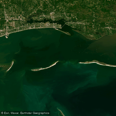
Mississippi Sound

Biloxi River
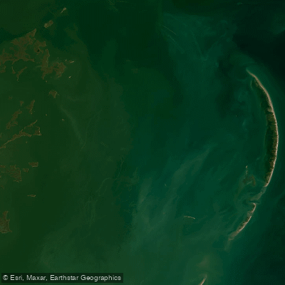
Chandeleur Sound
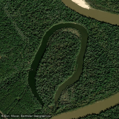
McCrea Dead River
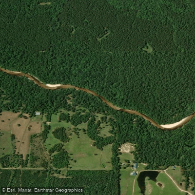
Red Creek
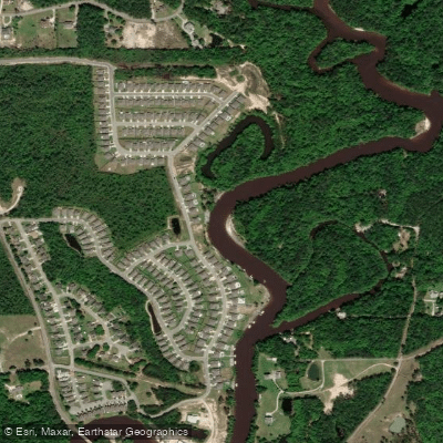
Tchoutacabouffa River
Explore Mississippi waters
Top paddling waters
Popular Cities
Loading popular cities...
Explore near Cat Island Channel

Smarter Paddling Starts in the App.
Paddleways gives you everything you need to plan smarter, paddle better, and own every trip from first launch to takeout.