Ship Island Pass
- Saltwater
- Pass
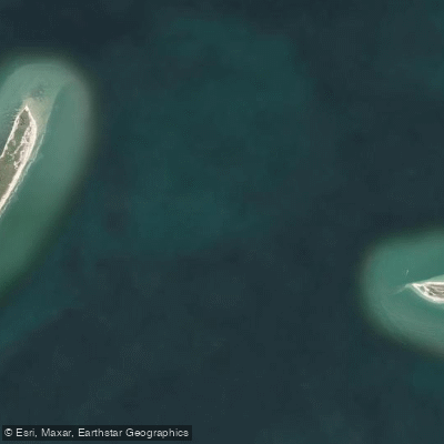
Ship Island Pass
- Saltwater
- Pass
- Sq. miles
- 16
- Boat Ramps
- 0
- Access Points
- 0
- Campsites
- 0
Ship Island Pass is a significant saltwater pass located in Mississippi Sound, forming the deep-water channel between West Ship Island and East Ship Island. This pass serves as the primary entrance to the Gulfport shipping channel, connecting the open Gulf of Mexico to the mainland ports. For paddlers, this is a dynamic marine environment characterized by substantial boat traffic, including large vessels using the maintained deep-water ship channel. The pass is exposed to the open Gulf, and wave gauge data collected at Ship Island Pass from 1998 to 2005 indicates an average significant wave height within the Sound. The area is historically significant, having been a strategic military and commercial gateway for centuries, from the War of 1812 through World War II, and the surrounding waters are known for maritime archaeology. Paddlers may encounter groups, as one report notes an event with approximately 20 to 30 paddle boarders and kayaks launching from a nearby location. The primary paddling consideration is the presence of the major shipping channel, which requires extreme caution when crossing. The pass is adjacent to the Gulf Islands National Seashore, and kayaking is a documented activity in the region, with thousands of participants annually.
Water access, boat ramps & amenities
Learn how to get on Ship Island Pass. Uncover great paddling access points, boat ramps, and all the facilities you need for an unforgettable day on the water. Some locations shown may border or include private property. Always check property boundaries and applicable regulations before visiting. PaddleWays's Public & Private Land layer can help you plan your access with confidence.
Paddle smarter with real-time insights
Whether you're en route and conditions shift or you're looking for the best spot based on current flows, we enable you to make informed decisions on the fly.








Find Places to Paddle

Over 400,000 Places to Paddle
Every user gets free access to launch points, boat ramps, and public property parcels.


Tides, wind & water conditions (10 day forecast)
On open water, wind and tide matter as much as the weather. See the best times to paddle Ship Island Pass and check the marine forecast before you launch.
Loading tide predictions…
Paddling near Ship Island Pass

Pascagoula River

Pearl River
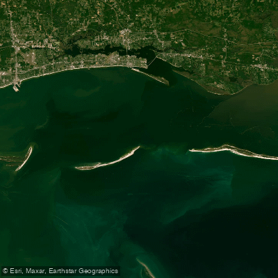
Mississippi Sound

Biloxi River
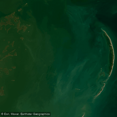
Chandeleur Sound
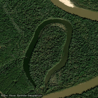
McCrea Dead River
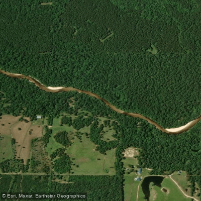
Red Creek
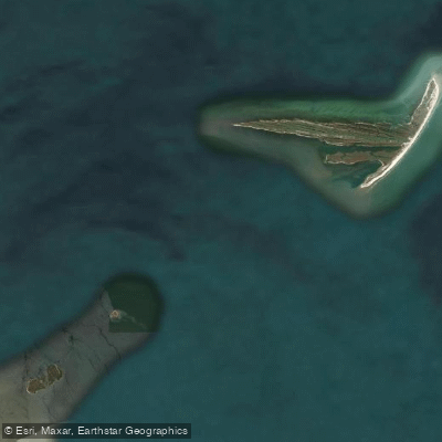
Cat Island Channel
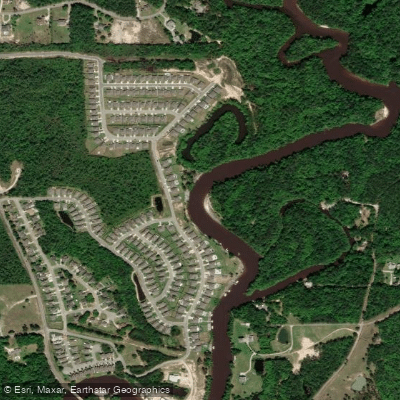
Tchoutacabouffa River
Explore Mississippi waters
Top paddling waters
Popular Cities
Loading popular cities...
Explore near Ship Island Pass

Smarter Paddling Starts in the App.
Paddleways gives you everything you need to plan smarter, paddle better, and own every trip from first launch to takeout.