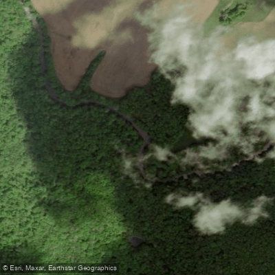
Curated by PaddleWays
RouteClass IV–V
- Distance
- 5 mi
- Paddle time
- ~1.5 hrs
- Best for
- Experienced paddlers
- Put-in → take-out
- Rockville Bridge Boat Ramp → Jenkinsburg Bridge Boat Ramp
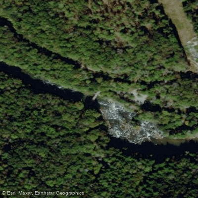
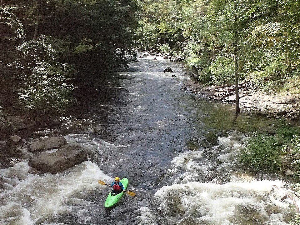
Wonder Falls, an 18-foot waterfall
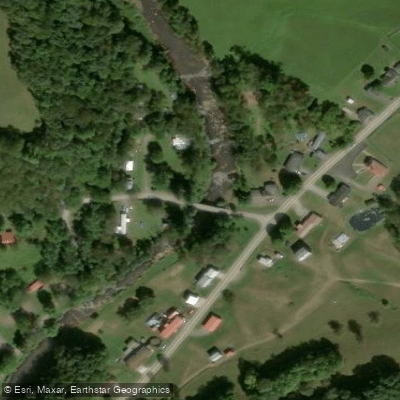
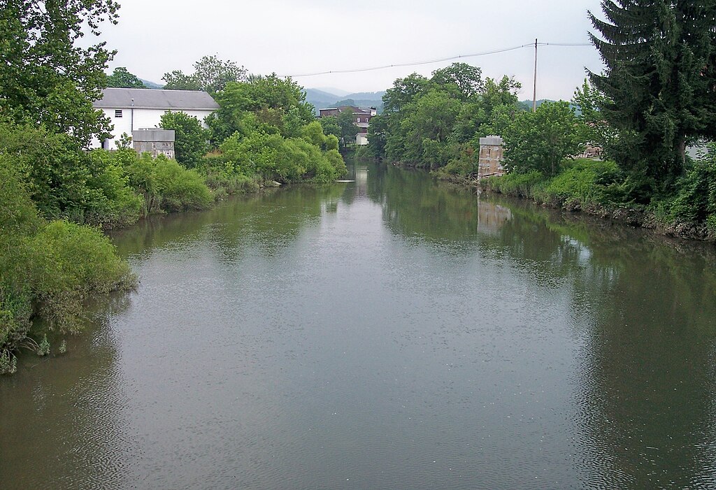
Big Sandy Creek originates on Chestnut Ridge in Fayette County, Pennsylvania, at an elevation of 2,256 feet before descending southeastward into Preston County, West Virginia. This 31.3-mile mountain stream cuts through the Appalachian highlands, dropping approximately 1,640 feet before reaching its confluence with the Cheat River at the abandoned town of Jenkinsburg. The creek flows through Bruceton Mills and Rockville, creating one of the most challenging and remote whitewater runs in the Mid-Atlantic region.
The paddling opportunities on Big Sandy Creek span a remarkable range of difficulty. The Pennsylvania State Line to Bruceton Mills section offers gentle Class I-II water suitable for beginners, flowing through well-maintained farmland and rhododendron thickets. From Bruceton Mills to Rockville, the Upper Big Sandy presents Class III-IV whitewater with technical boulder gardens, ledges, and the notable Hazel Run Rapids. The Lower Big Sandy, from Rockville to Jenkinsburg, ranks among West Virginia's most extreme runs, featuring Class V whitewater including Wonder Falls (18 feet) and Big Splat (25 feet), both requiring expert-level skills and often portaged.
Paddling season typically runs late winter through early spring, with the creek requiring substantial rainfall or snowmelt. Water levels are critical—the Rockville gauge should read between 4.1 and 50 cubic feet per second for safe passage, though flows approaching 931 cfs have been recorded during flood conditions.
The creek corridor supports hemlock groves, rhododendron thickets, and mixed hardwood forests. Multiple West Virginia state record fish have been caught here, including smallmouth bass, rock bass, and rainbow trout. The upper sections receive regular trout stocking from the West Virginia DNR between February and May.
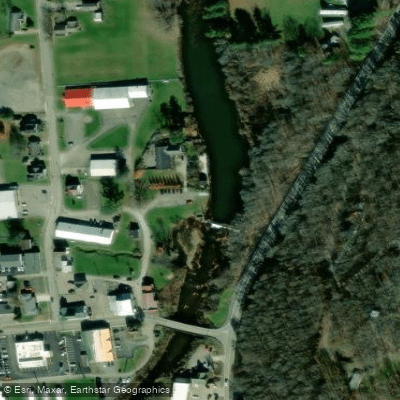
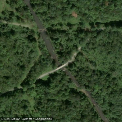
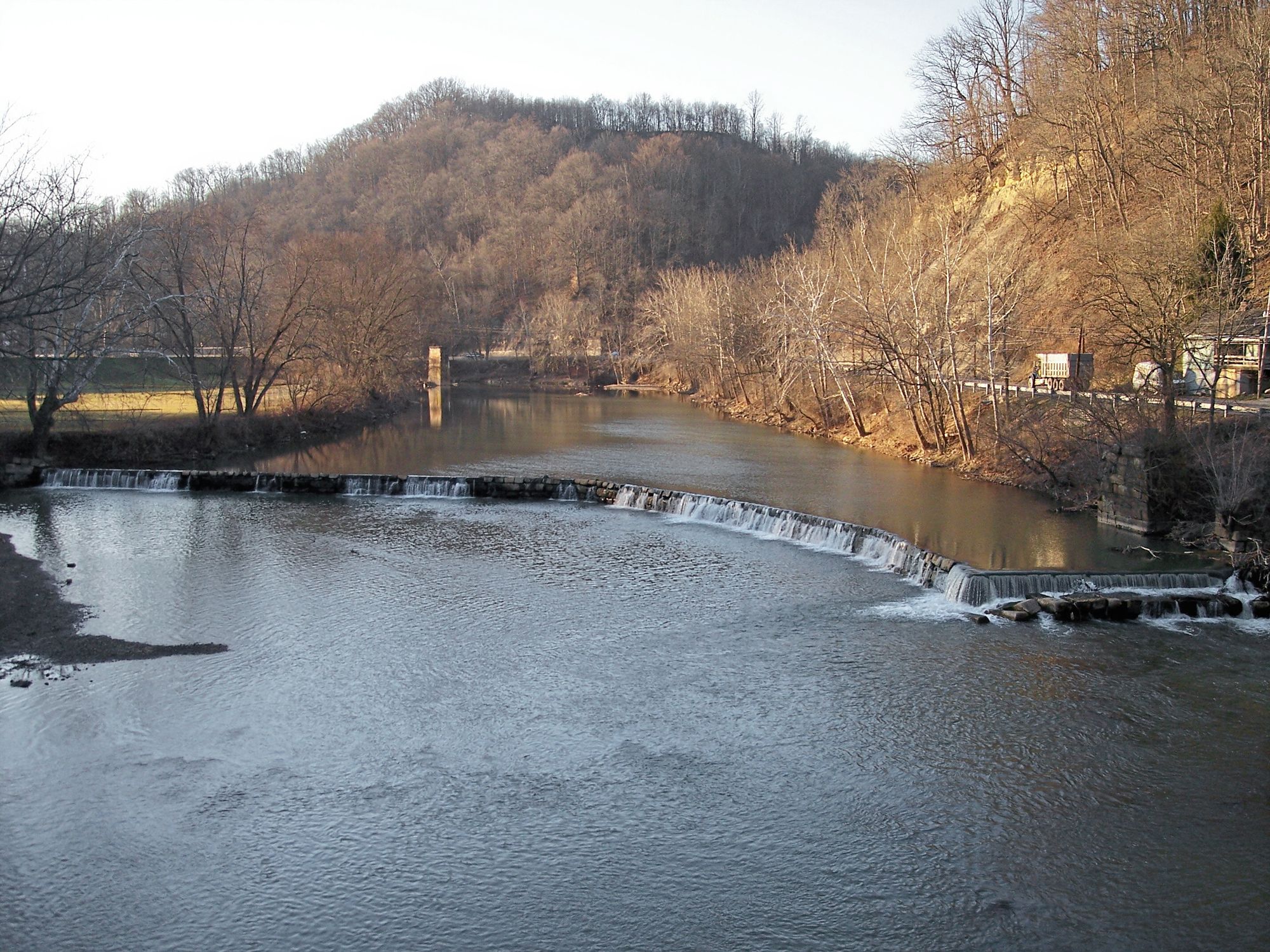
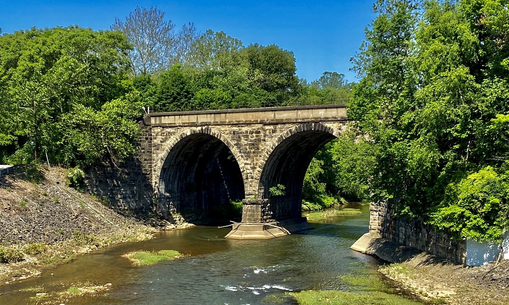
Key landmarks include the Bruceton Mills Dam, which creates a flatwater section popular for upstream paddling, and the dramatic gorge section below Rockville where the creek "crashes down the mountainside" through continuous rapids. The historic railroad trestles and remnants of old mining operations dot the landscape.
Access points include the State Line Bridge on CR 4/2, Bruceton Mills at the dam on WV-26, Rockville Bridge, and Jenkinsburg Bridge near the Cheat River confluence. Bruceton Mills, the primary access town, offers shuttle services and boat rentals through local outfitters.
Safety concerns are paramount on the lower sections. Undercut rocks, powerful hydraulics, and the remote nature of the gorge require self-rescue capability and advanced whitewater skills. The creek's narrow channels increase strainer hazards, particularly after storms. No permits are required, but paddlers should respect private property along the upper sections and be prepared for minimal cell service in the canyon.
Curated routes
Hand-picked by the PaddleWays team, with put-ins, take-outs, paddle times and the hazards along the way.
RouteClass IV–V
RouteClass III–IV
RouteClass II–III
Hazards
No paddler has reported a hazard here yet, so these are the dams, falls and big rapids on our map. Hazards change with flows and storms, so check them before you launch.
From the community
Nobody has shared a trip on Big Sandy Creek yet. Paddle it, then tell the next paddler how it went.
See exactly where the public can get on and off the river. Launch points and boat ramps are paired with PaddleWays' public land data so you know where you can legally land.
Public shoreline
20%of the river's shoreline is public
Most of the riverbank is private. Launch, land and camp only at public access points.
Flows, weather and a route-by-route verdict, so you know which stretch of the Big Sandy Creek is worth paddling today.
Live flows, marked hazards and fresh trip reports from paddlers who were just on the water, all in one place.





Every user gets free access to launch points, boat ramps, and public property parcels.

Loading popular cities...
PaddleWays gives you everything you need to plan smarter, paddle better, and own every trip from first launch to takeout.