Curated by PaddleWays
RouteClass I–II
- Distance
- 8 mi
- Paddle time
- ~2.5 hrs
- Best for
- Kayak
- Put-in → take-out
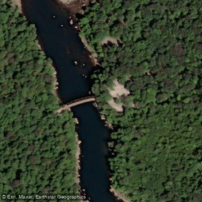
- Holly Meadow Bridge Boat Ramp → Saint George Bridge Boat Ramp
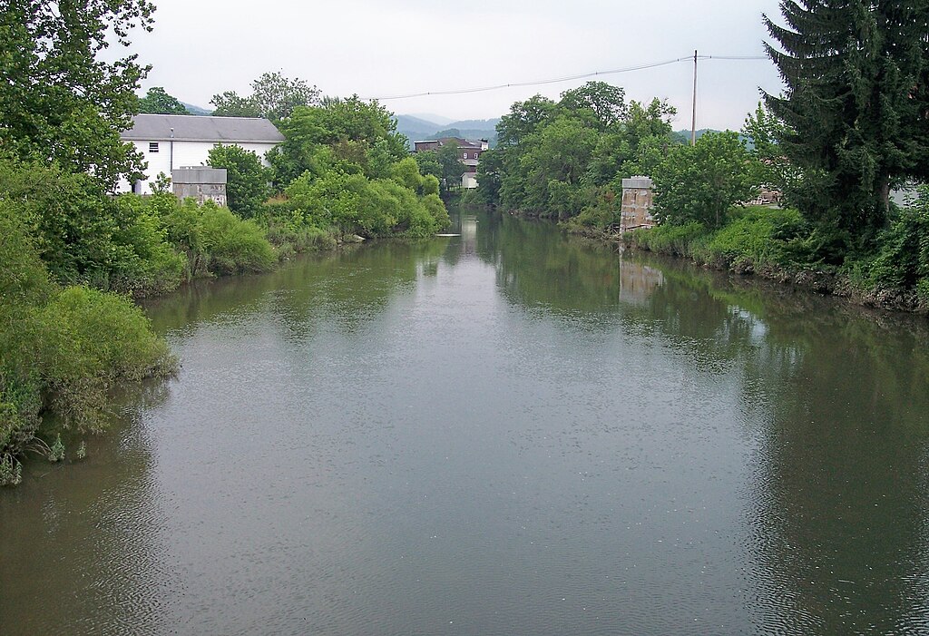
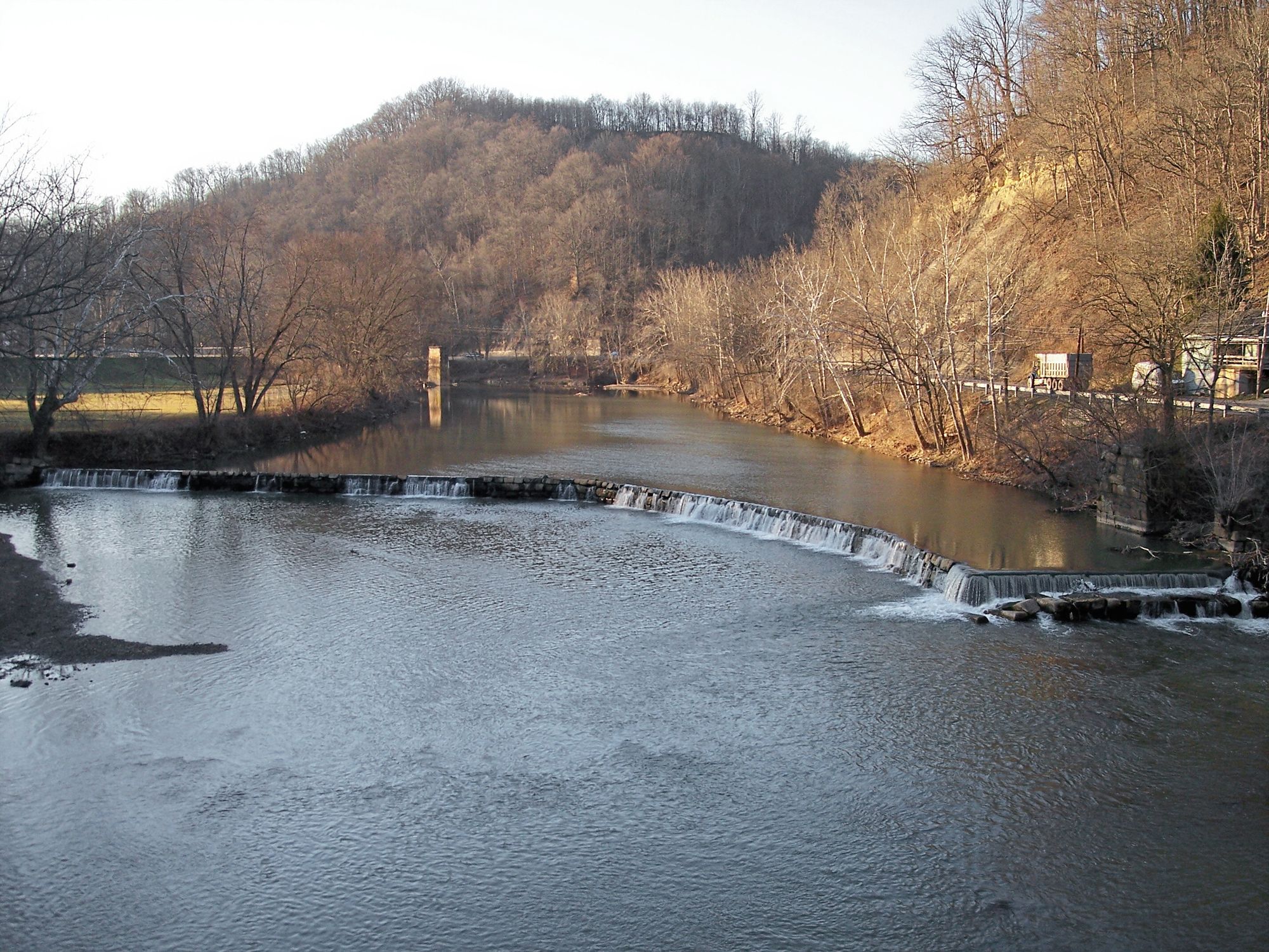
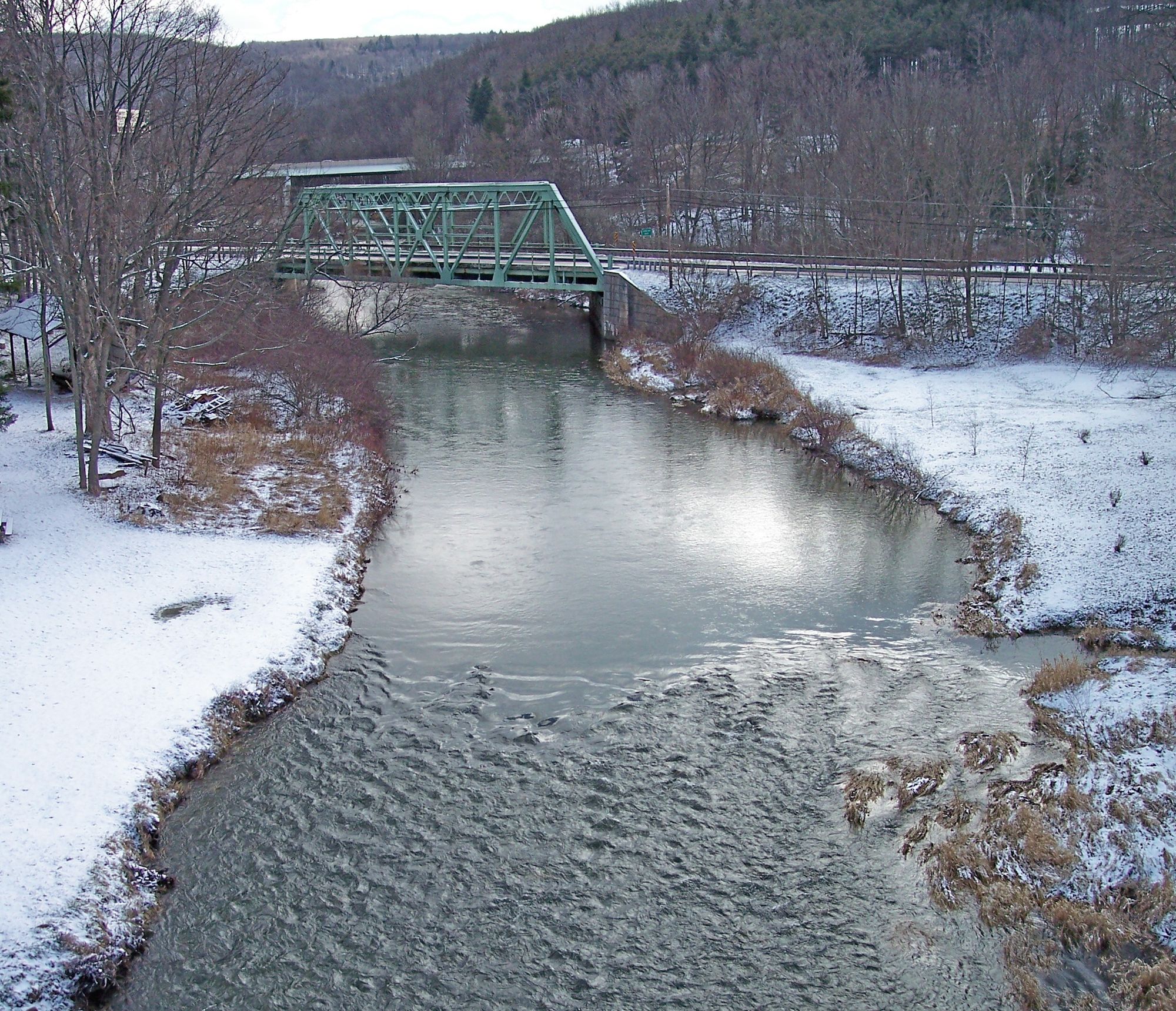
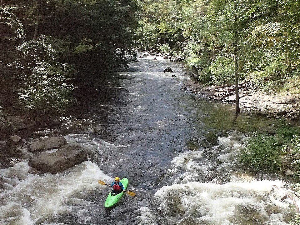
The Cheat River is a premier whitewater destination nestled in the Allegheny Mountains of northern West Virginia. This free-flowing river offers paddlers a diverse range of experiences, from calm flatwater sections to thrilling Class V rapids, all set against a backdrop of stunning mountain scenery.
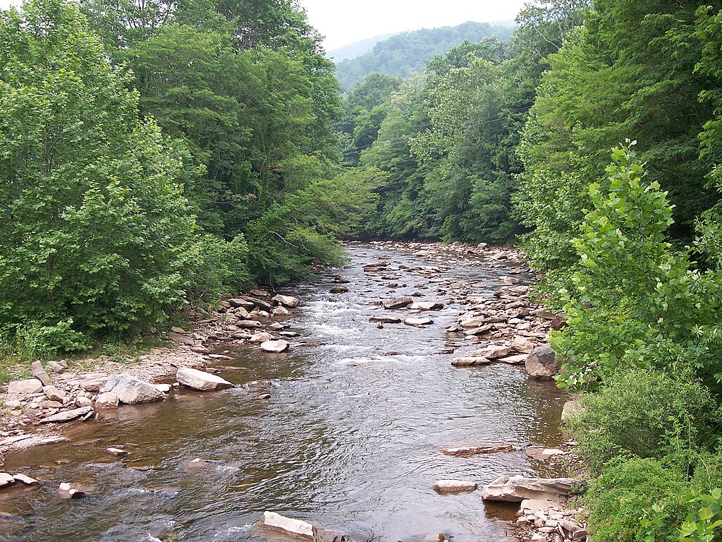
The river's main paddling sections include the Upper Cheat River Water Trail, the Cheat Narrows, and the renowned Cheat Canyon. The Upper Cheat Water Trail, beginning at the confluence of the Black Fork and Shavers Fork in Parsons, provides a gentle introduction with Class I-II rapids suitable for beginners and families.
The Cheat Narrows, a 5-mile stretch from below Rowlesburg to Albright, offers exciting Class II-III whitewater perfect for intermediate paddlers. For experienced whitewater enthusiasts, the Cheat Canyon section delivers 13 miles of intense Class III-V rapids from Albright to Jenkinsburg Bridge, making it West Virginia's premier springtime Class V run.
The Cheat River's difficulty ranges from easy flatwater to expert-level whitewater, accommodating paddlers of all skill levels. However, the river's character can change dramatically with water levels, so it's crucial for paddlers to check gauges and conditions before embarking on any trip.
The best time to paddle the Cheat varies by section. The Upper Water Trail and Narrows are enjoyable from late spring through fall, with summer offering warmer water for swimming and relaxed floats. The Canyon section typically runs from March through early June, driven by spring snowmelt and rainfall. However, summer storms and fall hurricanes can create ideal conditions for experienced paddlers year-round.
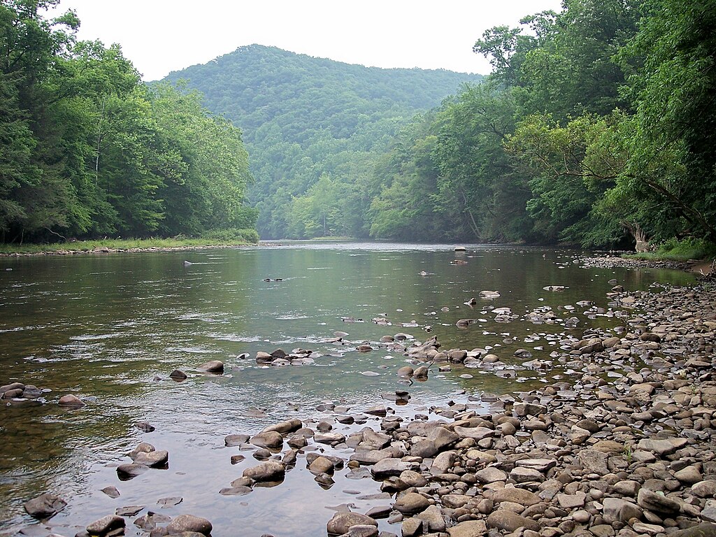
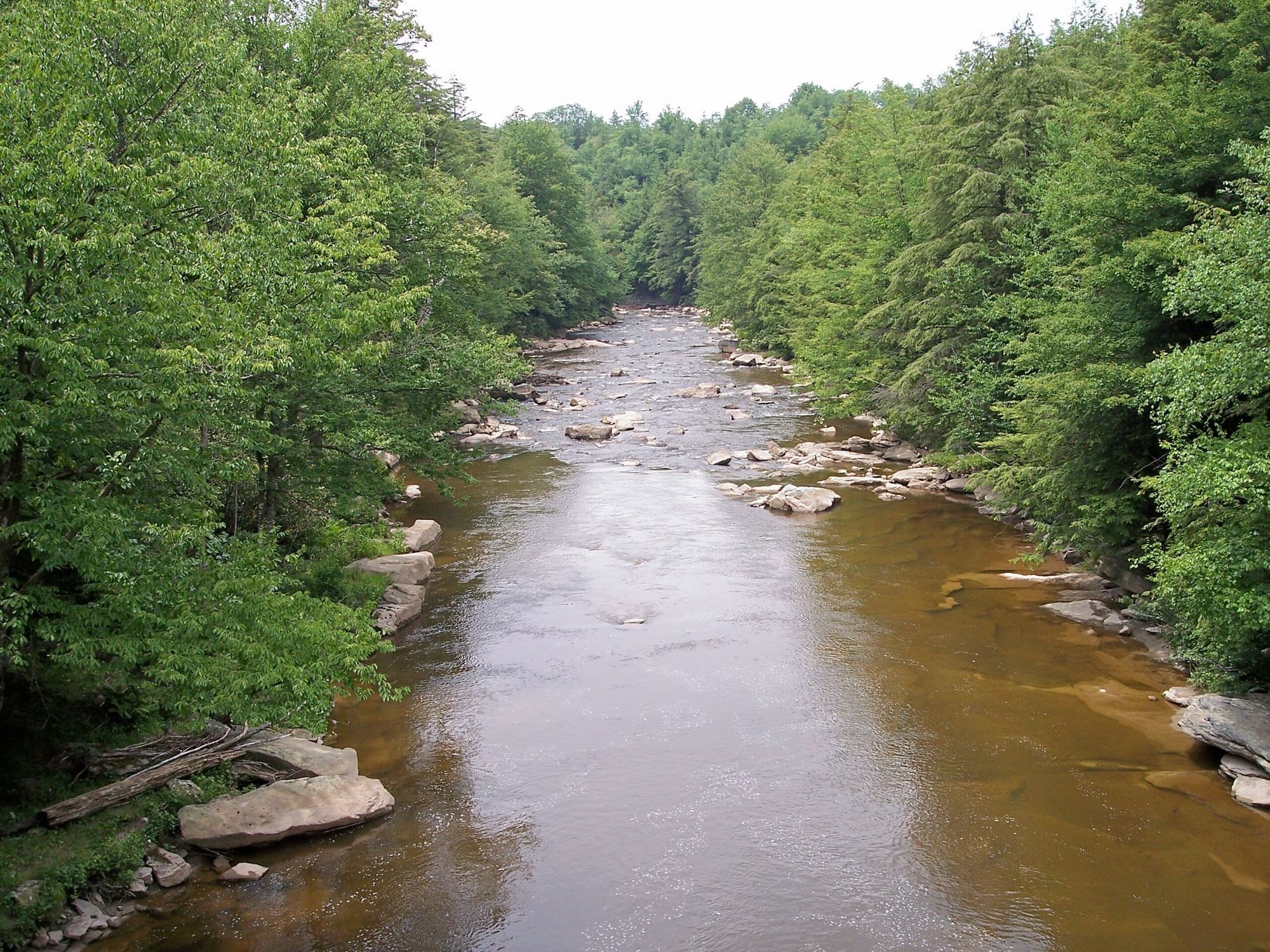
As you navigate the Cheat, you'll be treated to a rich ecosystem of Appalachian flora and fauna. The river corridor is home to diverse wildlife, including black bears, white-tailed deer, and a variety of bird species. The canyon sections showcase steep, forested hillsides and impressive rock formations.
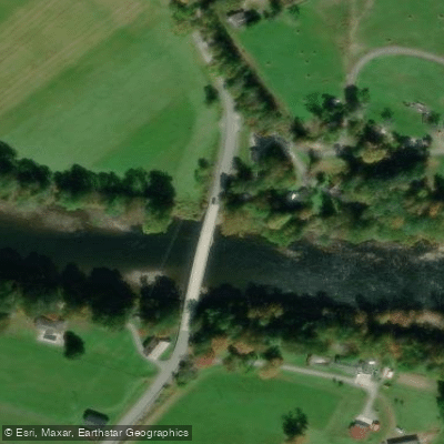
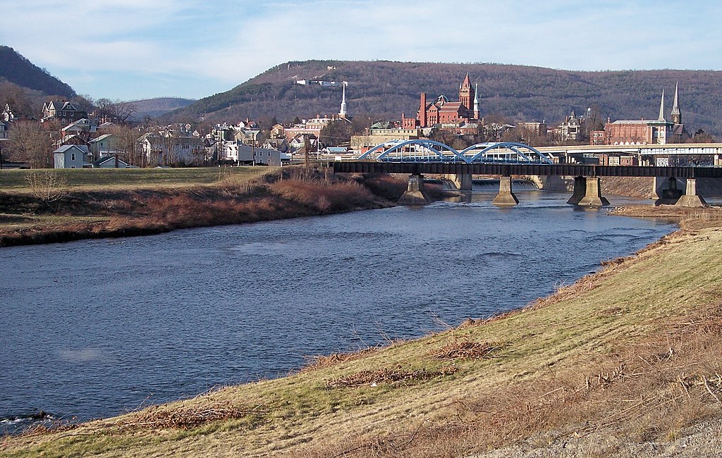
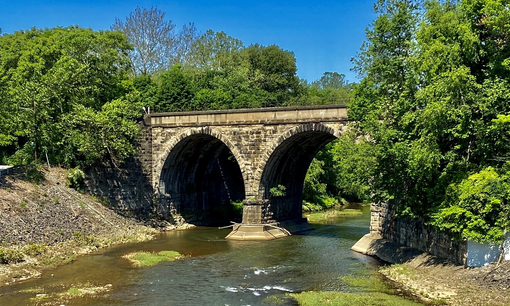
Notable landmarks along the river include the historic town of Parsons, the scenic Holly Meadows Bridge, and the imposing Jenkinsburg Bridge at the end of the Canyon run. The river passes through or near several small West Virginia communities, including Rowlesburg, Albright, and St. George, each offering access points and local amenities for paddlers.
The Cheat River holds significant historical and cultural importance to the region. Once heavily impacted by acid mine drainage, the river has undergone a remarkable recovery thanks to extensive restoration efforts. Today, it stands as a testament to successful environmental conservation and serves as a vital recreational resource for the area.
Safety is paramount on the Cheat River, especially in its more challenging sections. Paddlers should always wear appropriate safety gear, including helmets and life jackets, and be aware of rapidly changing water levels. It's advisable to paddle with experienced guides or local paddlers who know the river well, particularly in the Canyon section.
For those seeking a multi-day adventure, the Upper Cheat Water Trail offers excellent opportunities for overnight trips. With multiple access points along its course, paddlers can customize their journey, camping at designated sites or exploring the charming small towns along the way.
The Cheat River provides a complete package for paddling enthusiasts - from serene floats to heart-pounding rapids, all set within the beautiful Appalachian landscape. Whether you're a beginner looking to dip your paddle or an expert seeking the ultimate whitewater challenge, the Cheat River offers an unforgettable experience in the heart of West Virginia's outdoor playground.
Curated routes
Hand-picked by the PaddleWays team, with put-ins, take-outs, paddle times and the hazards along the way.
RouteClass I–II
RouteClass I–II
RouteClass I–II
RouteClass II–III
RouteClass III–V
Hazards
No paddler has reported a hazard here yet, so these are the dams, falls and big rapids on our map. Hazards change with flows and storms, so check them before you launch.
From the community
Real trips from PaddleWays paddlers: which route they ran, how the flows were, and what to watch for.
Loading trip reports
Angel T.
Kayak •
1,210 cfs at Parsons
St. George to riverview
See exactly where the public can get on and off the river. Launch points and boat ramps are paired with PaddleWays' public land data so you know where you can legally land.
Public shoreline
23%of the river's shoreline is public
Most of the riverbank is private. Launch, land and camp only at public access points.
Flows, weather and a route-by-route verdict, so you know which stretch of the Cheat River is worth paddling today.
All Flow Stations
Live flows, marked hazards and fresh trip reports from paddlers who were just on the water, all in one place.





Every user gets free access to launch points, boat ramps, and public property parcels.

Loading popular cities...
PaddleWays gives you everything you need to plan smarter, paddle better, and own every trip from first launch to takeout.