Wadmalaw River
- Saltwater
- Tidal river
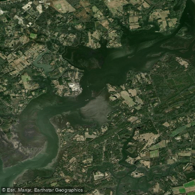
Wadmalaw River
- Saltwater
- Tidal river
- Sq. miles
- 5.1
- Boat Ramps
- 0
- Access Points
- 0
- Campsites
- 2
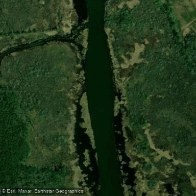
The Wadmalaw River is a tidal river forming part of the Southeast Coast Saltwater Paddling Trail in South Carolina. It is a coastal saltwater feature connecting the North Edisto River to the Stono River, with its waters flowing through the marshes and sea islands south of Charleston. Paddlers can access the river from several public landings. The Limehouse Boat Landing on the Stono River serves as a launch point for trips into the Wadmalaw, and the Cherry Point boat ramp near the terminus of Maybank Highway (SC 700) provides access near the river's confluence with Bohicket Creek and the North Edisto. The Walpole Dock area also has a boat ramp. The river is characterized by significant tidal influence, with a typical tidal range of 4 to 8 feet. Near Hollywood, high tides can exceed 2.3 meters (over 7.5 feet) and low tides can drop below 0.4 meters (about 1.3 feet). Timing a paddle with the tides is crucial; one local paddling group planned an outing launching before high tide at Limehouse Landing with the intent to paddle with the current both ways by riding the flood tide upstream and the ebb tide back. The river is part of a network of waterways that includes Leadenwah Creek, Bohicket Creek, and Wadmalaw Sound, offering extensive routes through tidal marshes. The area is noted for its solitude, with light boat traffic, especially south of Rockville. Paddlers should be prepared for open water conditions and wind exposure, particularly where the river widens. The surrounding landscape consists of expansive marshes, mudflats, and sea islands, providing habitat for wildlife such as redfish and trout. The river is part of the 295-mile South Carolina saltwater trail, which passes diverse coastal habitats and cultural sites. Facilities at launches are typically basic boat ramps, and paddlers must be self-sufficient. Water temperatures follow seasonal coastal patterns, being warm in summer and cool in winter.
Water access, boat ramps & amenities
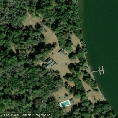
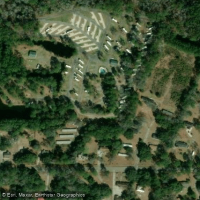
Learn how to get on Wadmalaw River. Uncover great paddling access points, boat ramps, and all the facilities you need for an unforgettable day on the water. Some locations shown may border or include private property. Always check property boundaries and applicable regulations before visiting. PaddleWays's Public & Private Land layer can help you plan your access with confidence.
Paddle smarter with real-time insights
Whether you're en route and conditions shift or you're looking for the best spot based on current flows, we enable you to make informed decisions on the fly.








Find Places to Paddle

Over 400,000 Places to Paddle
Every user gets free access to launch points, boat ramps, and public property parcels.


Tides, wind & water conditions (10 day forecast)
On open water, wind and tide matter as much as the weather. See the best times to paddle Wadmalaw River and check the marine forecast before you launch.
Loading tide predictions…
Paddling near Wadmalaw River
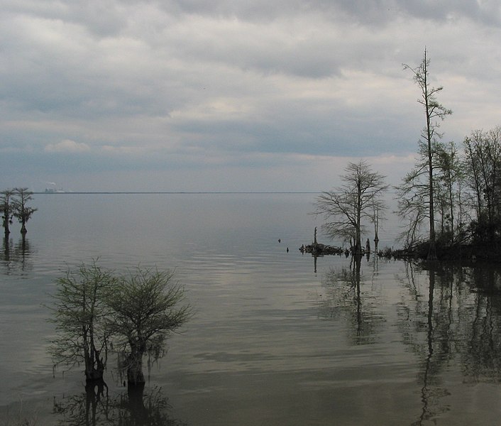
Lake Moultrie
Lake Marion
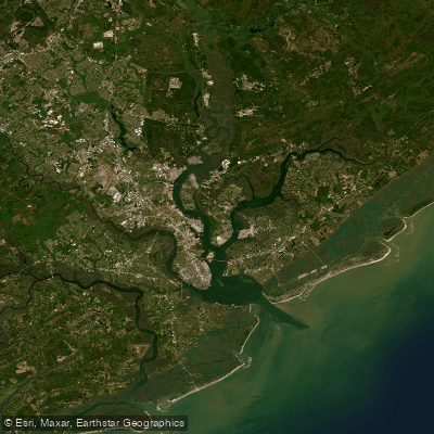
Cooper River
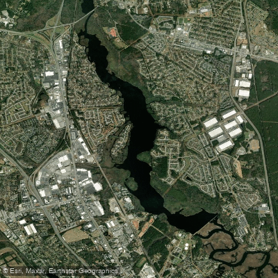
Goose Creek Reservoir
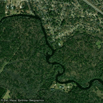
Ashley River
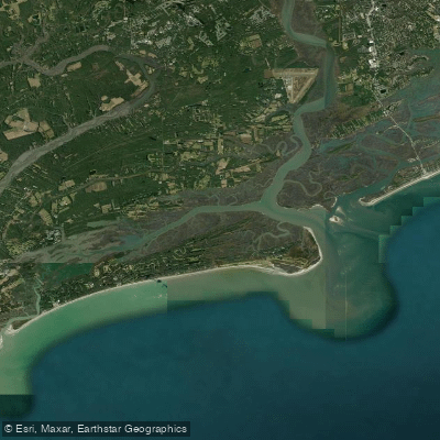
Stono Inlet
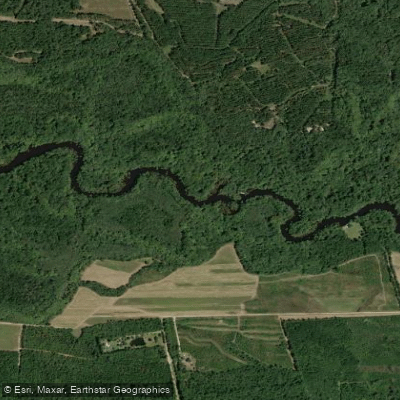
Edisto River
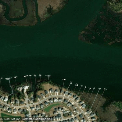
Wando River
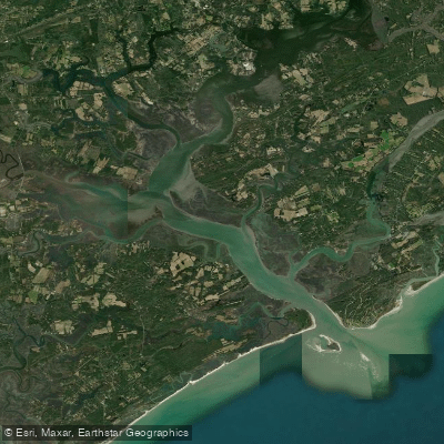
North Edisto River
Back River
Explore South Carolina waters
Top paddling waters
Popular Cities
Loading popular cities...
Explore near Wadmalaw River

Smarter Paddling Starts in the App.
Paddleways gives you everything you need to plan smarter, paddle better, and own every trip from first launch to takeout.