Santee River
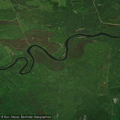
Santee River
- Boat Ramps
- 3
- Access Points
- 4
- Campsites
- 2
The Santee River is a major waterway in South Carolina, originating at the confluence of the Congaree and Wateree Rivers near Columbia. It flows southeast for approximately 143 miles before emptying into the Atlantic Ocean. The river is dammed to form Lakes Marion and Moultrie, with the lower Santee continuing below Lake Moultrie.
The lower Santee offers diverse paddling opportunities through South Carolina's lowcountry. Popular sections include Wilson's Landing to Highway 52 (25 miles), Highway 52 to Arrowhead Landing (12.7 miles), and several shorter trips incorporating tributary creeks like Echaw, Chicken, and Wambaw. Difficulty ranges from flatwater to moderate, with potential challenges from water releases at dams. Most sections are suitable for intermediate paddlers, though some remote stretches require more experience. The river's width, occasional strong currents, and tidal influences in lower sections demand respect and proper preparation.
Spring and fall offer ideal paddling conditions, with moderate temperatures and water levels. Summer can be hot and humid, while winter paddling requires cold-water gear. Always check water levels and dam release schedules before trips.
The Santee River corridor supports diverse ecosystems, including cypress-tupelo swamps and hardwood forests. Wildlife sightings may include alligators, various wading birds, and occasionally bald eagles. The river passes through the Francis Marion National Forest, offering pristine natural scenery. Key landmarks include Battery Warren, an old rice plantation site, and remnants of the Santee Canal, an important 18th-century transportation link. The river played a significant role in colonial-era rice cultivation and commerce.
Major access points include Wilson's Landing near Pineville, Highway 52 Landing near St. Stephen, and Arrowhead Landing. Several primitive campsites along sandbars allow for multi-day trips, though paddlers should be aware that bordering lands are mostly private property.
Safety considerations include checking water levels, being prepared for remote areas with limited cell service, and awareness of alligators and other wildlife. Paddlers should also be mindful of tidal influences in the lower sections.
The Santee River offers a quintessential South Carolina paddling experience, combining rich history, diverse ecosystems, and the wild beauty of the state's lowcountry region.
Water access, boat ramps & amenities
Learn how to get on Santee River. Uncover great paddling access points, boat ramps, and all the facilities you need for an unforgettable day on the water. Some locations shown may border or include private property. Always check property boundaries and applicable regulations before visiting. PaddleWays's Public & Private Land layer can help you plan your access with confidence.
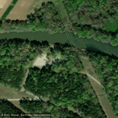
Paddle smarter with real-time insights
Whether you're en route and conditions shift or you're looking for the best spot based on current flows, we enable you to make informed decisions on the fly.








Find Places to Paddle

Over 400,000 Places to Paddle
Every user gets free access to launch points, boat ramps, and public property parcels.


Water and weather conditions (10 day forecast)
See the best times to paddle Santee River and check the forecast before you go.
LAKE MARION NEAR PINEVILLE, SC
All Flow Stations
Paddling near Santee River
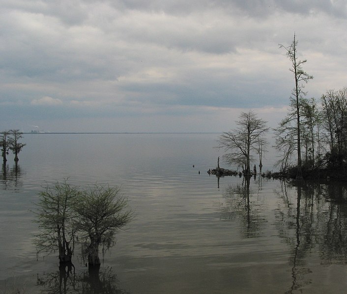
Lake Moultrie
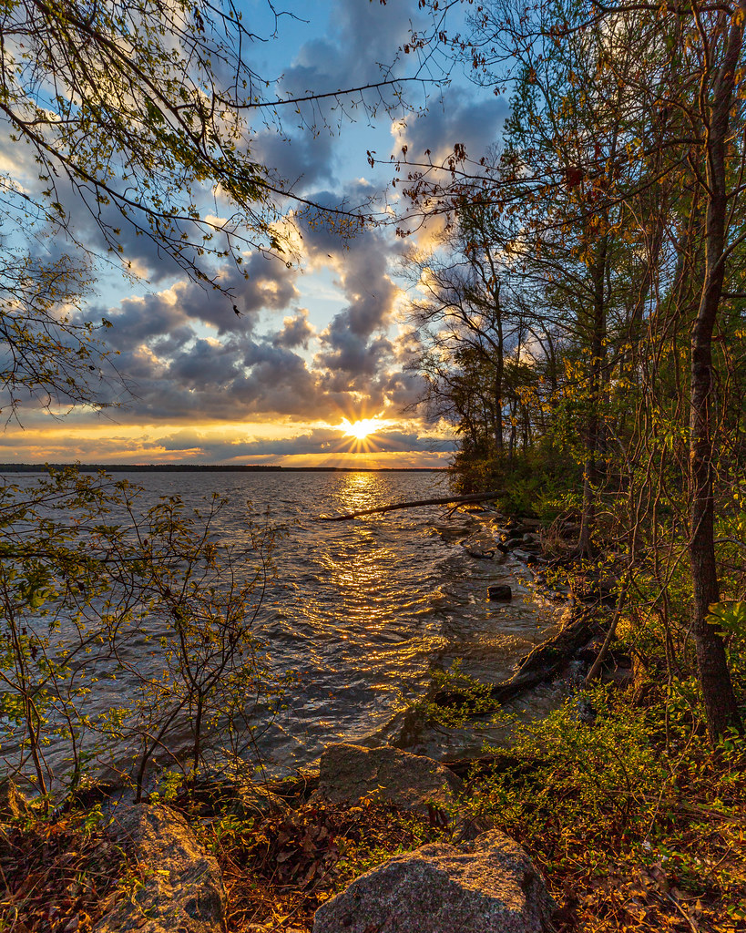
Lake Marion
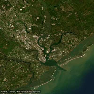
Cooper River
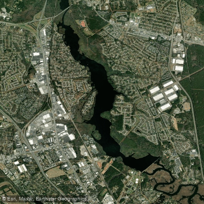
Goose Creek Reservoir
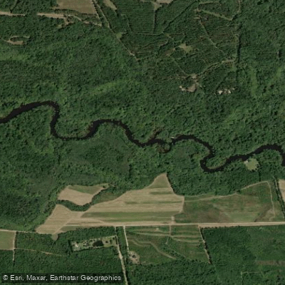
Edisto River
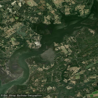
Wadmalaw River
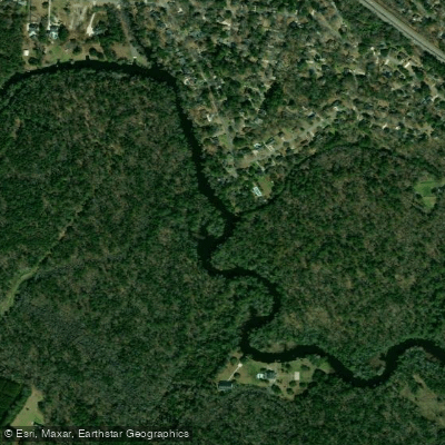
Ashley River
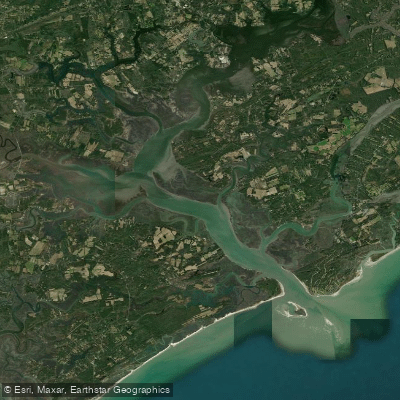
North Edisto River
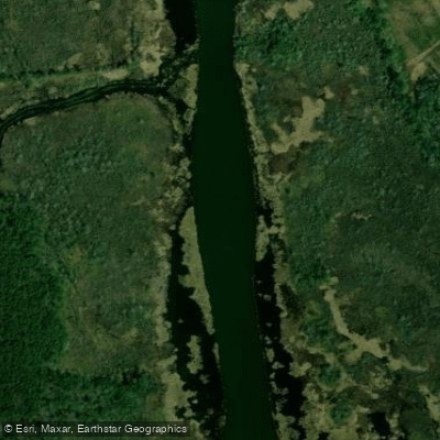
Back River
Explore South Carolina waters
Top paddling waters
Popular Cities
Loading popular cities...
Explore near Santee River
Access points
Nearby waters
More in South Carolina

Smarter Paddling Starts in the App.
Paddleways gives you everything you need to plan smarter, paddle better, and own every trip from first launch to takeout.