Bulls Bay
- Saltwater
- Bay
Bulls Bay
- Saltwater
- Bay
- Sq. miles
- 29
- Boat Ramps
- 0
- Access Points
- 0
- Campsites
- 1
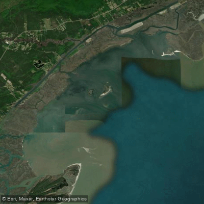
Bulls Bay is a large, open bay on the Atlantic coast of South Carolina, bordered by the Cape Romain National Wildlife Refuge and the Francis Marion National Forest. It is characterized by extensive salt marshes, tidal creeks, and a vast network of shallow flats. The bay is separated from the ocean by Bulls Island, a pristine barrier island accessible by paddling. The primary paddling experience involves navigating through winding marsh creeks to reach the open bay, which offers significant exposure to wind and weather. The tidal range is substantial, typically between four to seven feet, creating strong currents and exposing large mud flats and oyster bars at low tide. Paddlers must plan trips carefully around the tide, as many creeks and flats become too shallow to navigate or even dry up completely during low water, potentially stranding a kayak. The area is known for prolific insect populations, including mosquitoes and no-see-ums, which can be a major nuisance, especially in calm conditions; wind helps keep them at bay.
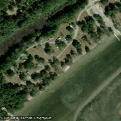
Several established launch points provide access to the bay and its feeder creeks. Key public launches include Buck Hall Recreation Area, Garris Landing, and the Sewee Coastal Retreat center. The boat ramp on Bulls Island Road in Awendaw also services the bay. A specific route involves launching at the Sewee landing, paddling left up the Intracoastal Waterway for approximately two miles, and then taking the first large creek on the right, which leads into Bulls Bay. Paddling from McClellanville to Bulls Island is considered a long day trip of about 20 miles. The area sees boat traffic, particularly along the Intracoastal Waterway, and paddlers should be prepared for channel crossings. The waters are part of a major wildlife refuge, so sightings of dolphin, alligator, bald eagle, and numerous coastal bird species are common. There are no facilities on the water, so paddlers must be self-sufficient, carrying all necessary water, food, and supplies. Winter paddling offers cooler weather and fewer bugs, but water temperatures can drop into the 40s, making immersion gear a wise precaution.
Water access, boat ramps & amenities
Learn how to get on Bulls Bay. Uncover great paddling access points, boat ramps, and all the facilities you need for an unforgettable day on the water. Some locations shown may border or include private property. Always check property boundaries and applicable regulations before visiting. PaddleWays's Public & Private Land layer can help you plan your access with confidence.
Paddle smarter with real-time insights
Whether you're en route and conditions shift or you're looking for the best spot based on current flows, we enable you to make informed decisions on the fly.








Find Places to Paddle

Over 400,000 Places to Paddle
Every user gets free access to launch points, boat ramps, and public property parcels.


Tides, wind & water conditions (10 day forecast)
On open water, wind and tide matter as much as the weather. See the best times to paddle Bulls Bay and check the marine forecast before you launch.
Loading tide predictions…
Paddling near Bulls Bay
Lake Moultrie
Lake Marion
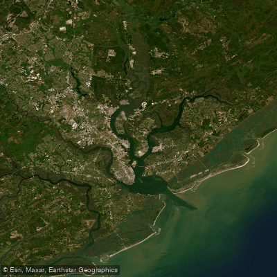
Cooper River
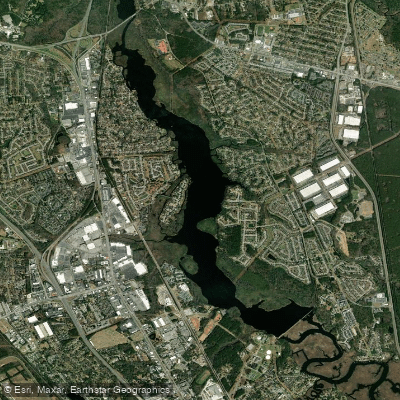
Goose Creek Reservoir
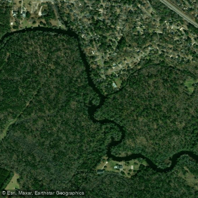
Ashley River
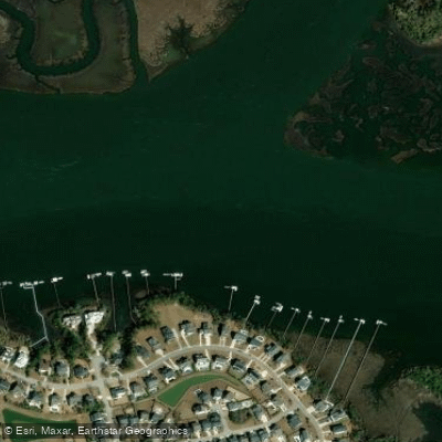
Wando River
Edisto River
Stono Inlet
Santee River
Explore South Carolina waters
Top paddling waters
Popular Cities
Loading popular cities...
Explore near Bulls Bay

Smarter Paddling Starts in the App.
Paddleways gives you everything you need to plan smarter, paddle better, and own every trip from first launch to takeout.