Curated by PaddleWays
RouteFlatwater
- Distance
- 2.7 mi
- Paddle time
- ~1 hr
- Put-in → take-out
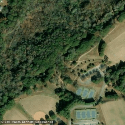
- Nettles Park Access → Route 76 Access
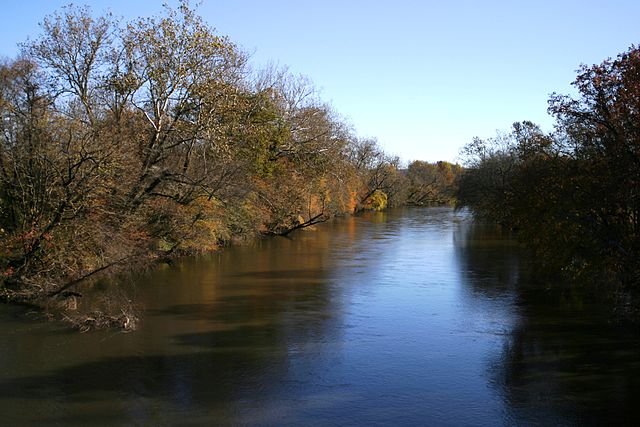
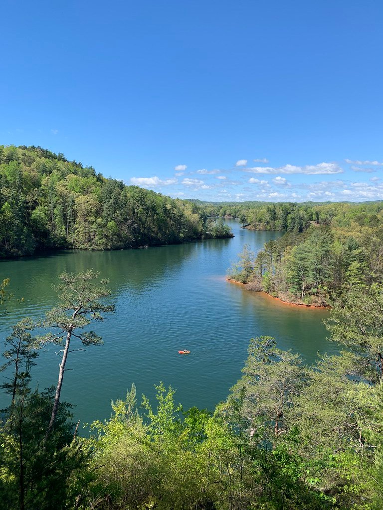
Eighteenmile Creek flows through the Upstate region of South Carolina, primarily within Anderson and Pickens counties, before joining the Seneca River as a tributary. This relatively short waterway, measuring approximately 26 miles in length, originates in the rolling piedmont terrain and flows generally southward through a landscape characterized by mixed hardwood forests, agricultural lands, and scattered residential development. The creek's headwaters begin in the northern portions of the watershed, gathering flow from numerous small tributaries as it descends through the piedmont topography. The drainage area encompasses roughly 38,000 acres across the two counties, with the stream corridor supporting a mix of riparian vegetation typical of South Carolina's upstate region.
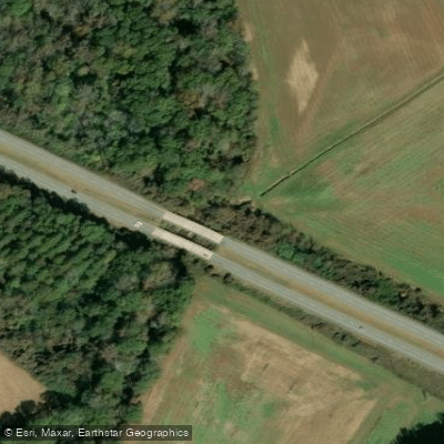
For paddlers, Eighteenmile Creek offers limited but accessible flatwater opportunities. The most recognized section runs from Nettles Park to US Highway 76, classified as Class I with occasional Class II features. This 2-mile stretch provides a relatively gentle introduction to creek paddling, suitable for beginners and those seeking a short afternoon excursion. The average gradient of 10 feet per mile creates modest current without significant technical challenges, though seasonal variations in flow can affect navigability. Spring and early summer typically provide the most reliable water levels for paddling, as the creek depends heavily on rainfall and runoff. Late summer and fall often see reduced flows that may require portaging over shallow sections. The creek's modest size means it responds quickly to precipitation events, with levels rising and falling within days of rainfall.
The watershed supports typical piedmont aquatic communities, including various sunfish species, bass, and catfish. Riparian corridors provide habitat for white-tailed deer, raccoons, and numerous bird species common to South Carolina's upstate forests. The clear to slightly tannic waters reflect the mixed geology and vegetation of the surrounding landscape.
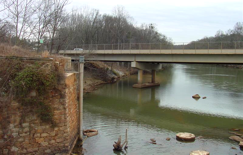
Access to Eighteenmile Creek is most convenient near the communities of Pendleton and Central in Anderson County, with US Highway 76 providing a key crossing point. The proximity to Clemson University and the greater Anderson area makes this creek accessible to urban paddlers seeking nearby water recreation. Paddlers should be aware that private property borders much of the creek, requiring respect for landowner rights and adherence to South Carolina's navigable waters regulations. Water levels can fluctuate significantly, and the creek's relatively small size means that fallen trees and debris may create obstacles requiring portaging or maneuvering skills.
Curated routes
Hand-picked by the PaddleWays team, with put-ins, take-outs, paddle times and the hazards along the way.
RouteFlatwater
Hazards
No hazards are marked on Eighteenmile Creek yet. That is not the same as none being there: if you find one, report it for the next paddler.
From the community
Nobody has shared a trip on Eighteenmile Creek yet. Paddle it, then tell the next paddler how it went.
See exactly where the public can get on and off the river. Launch points and boat ramps are paired with PaddleWays' public land data so you know where you can legally land.
Public shoreline
24%of the river's shoreline is public
Most of the riverbank is private. Launch, land and camp only at public access points.
Flows, weather and a route-by-route verdict, so you know which stretch of the Eighteenmile Creek is worth paddling today.
Live flows, marked hazards and fresh trip reports from paddlers who were just on the water, all in one place.





Every user gets free access to launch points, boat ramps, and public property parcels.
Loading popular cities...
PaddleWays gives you everything you need to plan smarter, paddle better, and own every trip from first launch to takeout.