Joiner Bank
- Saltwater
- Bay
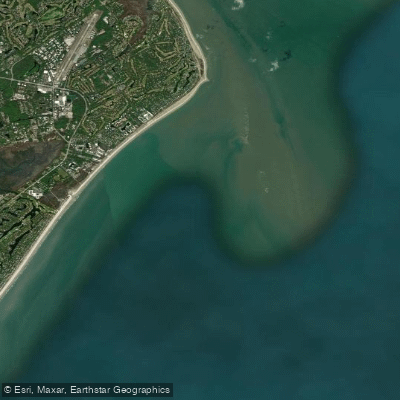
Joiner Bank
- Saltwater
- Bay
- Sq. miles
- 11
- Boat Ramps
- 0
- Access Points
- 0
- Campsites
- 0
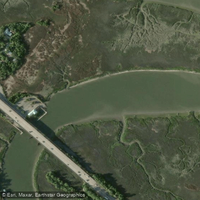
Joiner Bank is a designated Seabird Sanctuary and Heritage Preserve located in the coastal waters of South Carolina, USA. It is a dynamic sand spit, formed by river deposits, that shifts in position and structure due to erosion and deposition. This feature is a tidal bar that is completely underwater at high tide, becoming accessible as a sandbar only during lower tidal periods. For paddlers, this means trip timing is critically dependent on the tide; the bank is only exposed for landing or observation when the tide is out. The area is legally accessible only from one hour before sunrise to one hour after sunset. As a protected seabird sanctuary, specific regulations are strictly enforced: no dogs are allowed, and no person may enter any area designated as a bird nesting area. The sanctuary does not currently support nesting due to its low elevation but remains an important rest and foraging area for birds.
The paddling experience here is defined by open, tidal waters with significant exposure to wind and weather. Paddlers must plan launches and take-outs from other points along the South Carolina Saltwater Paddling Trail, such as those accessing the Wright River or New River, as Joiner Bank itself is not a launch site. Navigating to the bank requires crossing open water of St. Helena Sound, where boat traffic and fetch can create challenging conditions. The key consideration is aligning the trip with the falling tide to arrive when the bank is exposed, and ensuring a return before access closes at sunset. The surrounding region is rich in natural and cultural sites accessible by kayak, including the Daws Island Heritage Preserve, Hunting Island State Park, and the historic sites on Parris Island. The overall character is one of a remote, protected marine environment where paddlers are visitors in a sensitive wildlife habitat, requiring careful planning around tides, weather, and regulations.
Water access, boat ramps & amenities
Learn how to get on Joiner Bank. Uncover great paddling access points, boat ramps, and all the facilities you need for an unforgettable day on the water. Some locations shown may border or include private property. Always check property boundaries and applicable regulations before visiting. PaddleWays's Public & Private Land layer can help you plan your access with confidence.
Paddle smarter with real-time insights
Whether you're en route and conditions shift or you're looking for the best spot based on current flows, we enable you to make informed decisions on the fly.








Find Places to Paddle

Over 400,000 Places to Paddle
Every user gets free access to launch points, boat ramps, and public property parcels.


Tides, wind & water conditions (10 day forecast)
On open water, wind and tide matter as much as the weather. See the best times to paddle Joiner Bank and check the marine forecast before you launch.
Loading tide predictions…
Paddling near Joiner Bank

Savannah River
Wilmington River
Port Royal Sound
Ogeechee River
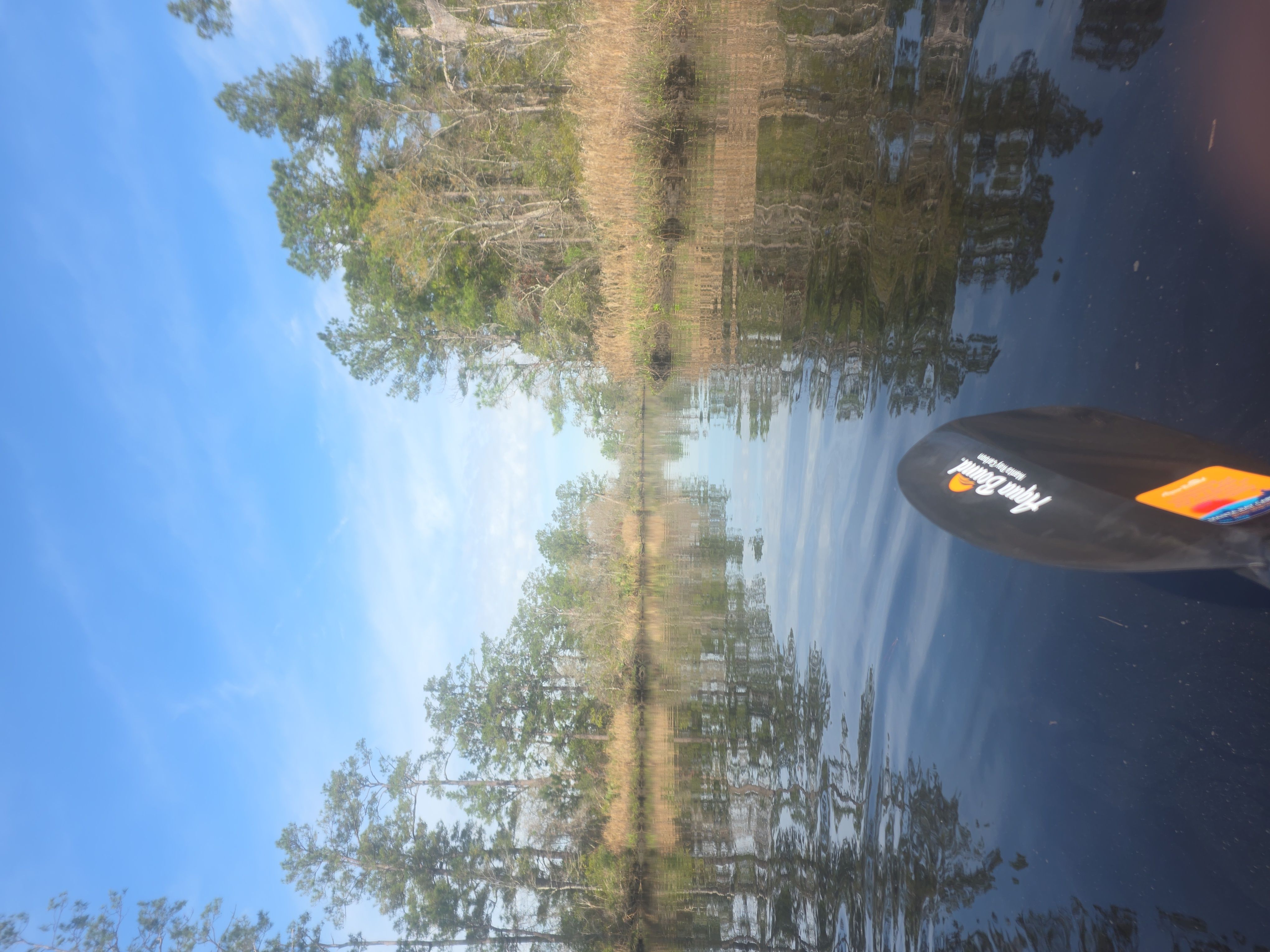
New River
Calibogue Sound
Combahee River
Edisto River
Turner Creek
Explore South Carolina waters
Top paddling waters
Popular Cities
Loading popular cities...
Explore near Joiner Bank

Smarter Paddling Starts in the App.
Paddleways gives you everything you need to plan smarter, paddle better, and own every trip from first launch to takeout.