Port Royal Sound
- Saltwater
- Sound
Port Royal Sound
- Saltwater
- Sound
- Sq. miles
- 38
- Boat Ramps
- 4
- Access Points
- 0
- Campsites
- 0
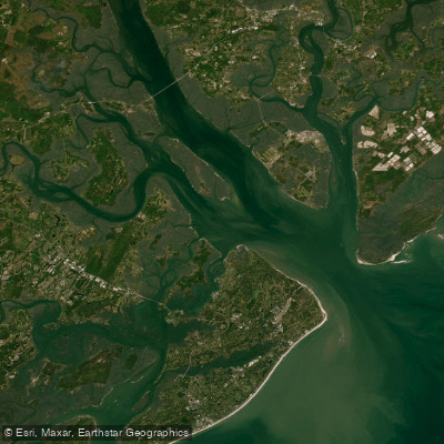
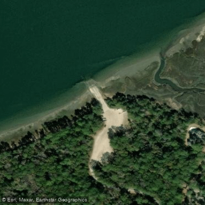
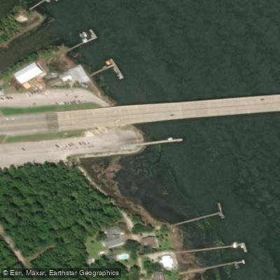
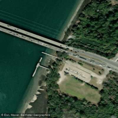
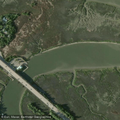
Port Royal Sound is a large coastal sound in South Carolina's Lowcountry, forming a major tidal waterway. The sound itself is wide and shallow, with its waters fed by several rivers and creeks. A primary and highly recommended paddling route for exploration is the Chechessee River, which is part of the Port Royal Sound waterway. This river features sheltered tidal waters that provide a more protected environment, with an avenue between green sea islands and the wider sound. The easiest public access for launching kayaks onto the Chechessee River is the Edgar C. Glenn Boat Ramp, located off South Carolina Highway 170. This concrete ramp provides year-round access. Adjacent to this ramp is the Sharon and Dick Stewart Maritime Center, operated by the Port Royal Sound Foundation, which serves as a hub for environmental education and is also a departure point for guided kayak tours. For paddlers seeking direct access to the deeper, open waters of the sound itself, the town of Port Royal offers a public boat ramp at the mouth of Battery Creek, which opens into the Beaufort River and Port Royal Sound. Shell Point, at the southern end of Port Royal Island, is one of the best public launch points in Beaufort County for reaching the sound's offshore waters.
The paddling experience is defined by significant tidal influence, with the Chechessee River specifically noted as having tidal waters. Paddlers must plan for these currents, and the wider sound is subject to strong tides, which are a noted hazard requiring experience to navigate safely, particularly in crossings like the Calibogue Sound near Daufuskie Island. The sound and its connected waterways are also active with boat traffic, which is a primary safety consideration. Wind exposure and fetch can be substantial on the open sound, contrasting with the more sheltered conditions found in the Chechessee River and other winding creeks. The area is rich in wildlife, with common sightings including dolphins, manatees, sea turtles, sharks, osprey, and eagles. The shoreline is a mix of wild marshes, historic sites like the Native American shell rings on Daws Island Heritage Preserve at the river's mouth, and some residential docks. The overall character is one of a vast, historic estuary where paddlers can experience both protected river paddles and more challenging open-water journeys, with a strong emphasis on the region's ecology and conservation.
Water access, boat ramps & amenities
Learn how to get on Port Royal Sound. Uncover great paddling access points, boat ramps, and all the facilities you need for an unforgettable day on the water. Some locations shown may border or include private property. Always check property boundaries and applicable regulations before visiting. PaddleWays's Public & Private Land layer can help you plan your access with confidence.
Paddle smarter with real-time insights
Whether you're en route and conditions shift or you're looking for the best spot based on current flows, we enable you to make informed decisions on the fly.








Find Places to Paddle

Over 400,000 Places to Paddle
Every user gets free access to launch points, boat ramps, and public property parcels.


Tides, wind & water conditions (10 day forecast)
On open water, wind and tide matter as much as the weather. See the best times to paddle Port Royal Sound and check the marine forecast before you launch.
Loading tide predictions…
Paddling near Port Royal Sound

Savannah River
Wilmington River
Ogeechee River
New River
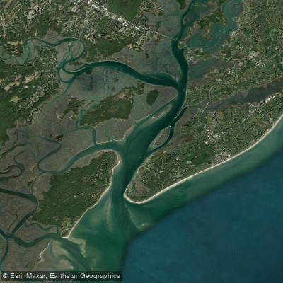
Calibogue Sound
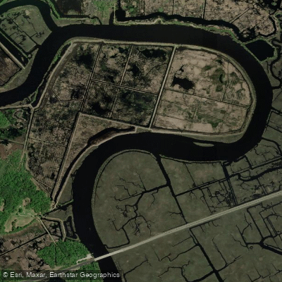
Combahee River
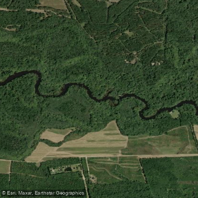
Edisto River
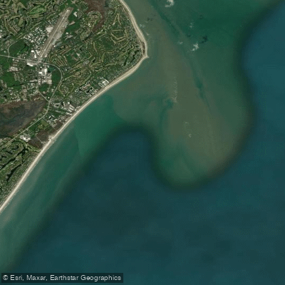
Joiner Bank
Turner Creek
Explore South Carolina waters
Top paddling waters
Popular Cities
Loading popular cities...
Explore near Port Royal Sound
Nearby waters
More in South Carolina

Smarter Paddling Starts in the App.
Paddleways gives you everything you need to plan smarter, paddle better, and own every trip from first launch to takeout.