Wilmington River
Wilmington River
- Boat Ramps
- 1
- Access Points
- 3
- Campsites
- 1
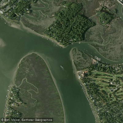
The Wilmington River is a significant tidal waterway in coastal Georgia, flowing southeast through Chatham County before merging with the Skidaway River near Savannah. This 17.3-mile long river is part of the larger Savannah River watershed and plays a crucial role in the region's estuarine ecosystem.
Paddlers on the Wilmington River can expect a flatwater experience suitable for all skill levels, with the river's tidal nature influencing water conditions. The river offers several distinct sections for exploration, including the stretch from Savannah to Thunderbolt and from Thunderbolt to Isle of Hope. These sections provide opportunities to witness the area's rich maritime heritage and natural beauty.
The Wilmington River is best paddled year-round, though summer offers prime fishing conditions while fall and winter are ideal for waterfowl observation. The river's ecosystem supports a diverse array of flora and fauna, including dolphins, which are frequently spotted by paddlers.
Key landmarks along the river include the historic shrimping town of Thunderbolt, offering a glimpse into the area's maritime past. The river is also part of the Southeast Coast Saltwater Paddling Trail (SECT), connecting it to a larger network of waterways stretching from the Chesapeake Bay to the Georgia-Florida border.
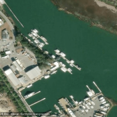
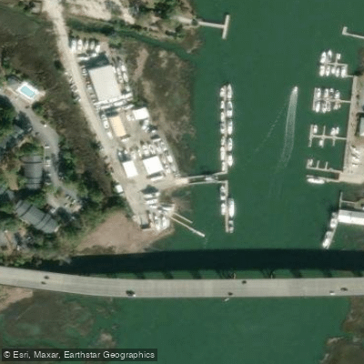
Primary access points include the put-in near Savannah and take-outs at Thunderbolt boat ramp (also known as Desposito's Boat Ramp) and Isle of Hope Marina. These access points are conveniently located near urban areas, making logistics easier for paddlers.
The Wilmington River holds significant historical and cultural value, having played a role in the development of coastal Georgia's communities and industries. Today, it serves as an important recreational resource for fishing, kayaking, and nature observation.
Safety considerations include being aware of tidal changes, boat traffic, and weather conditions. Paddlers should also be mindful of local regulations, particularly those related to fishing and hunting seasons.
For those seeking a multi-day adventure, the Wilmington River can be combined with explorations of the adjacent Skidaway and Vernon Rivers, offering an extended journey through the coastal waterways of Georgia. This network of rivers provides ample opportunities for longer trips, allowing paddlers to fully immerse themselves in the unique coastal environment of the region.
Water access, boat ramps & amenities
Learn how to get on Wilmington River. Uncover great paddling access points, boat ramps, and all the facilities you need for an unforgettable day on the water. Some locations shown may border or include private property. Always check property boundaries and applicable regulations before visiting. PaddleWays's Public & Private Land layer can help you plan your access with confidence.
Paddle smarter with real-time insights
Whether you're en route and conditions shift or you're looking for the best spot based on current flows, we enable you to make informed decisions on the fly.








Find Places to Paddle

Over 400,000 Places to Paddle
Every user gets free access to launch points, boat ramps, and public property parcels.


Water and weather conditions (10 day forecast)
See the best times to paddle Wilmington River and check the forecast before you go.
No forecast data available.
Paddling near Wilmington River

Savannah River
Altamaha River
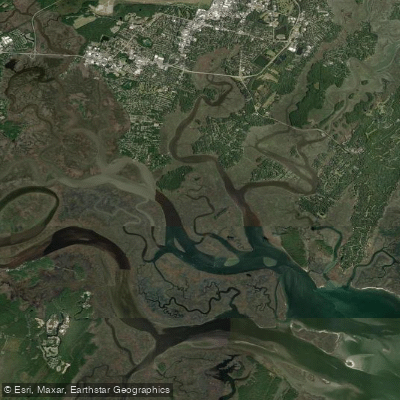
Vernon River
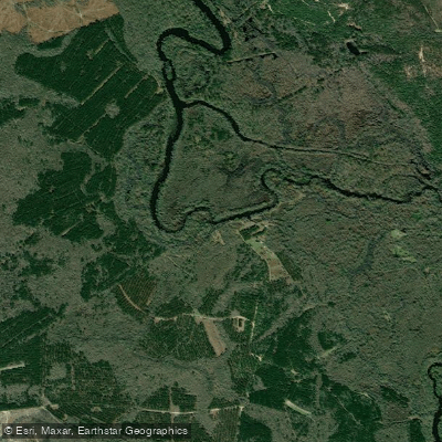
Ogeechee River
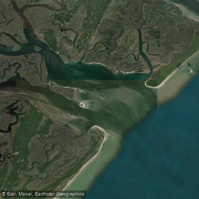
Ossabaw Sound
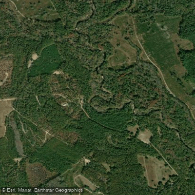
Canoochee River
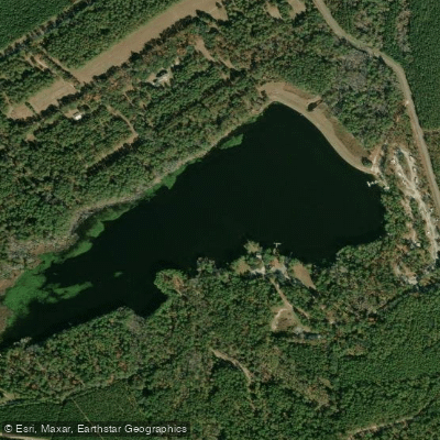
Sands Pond
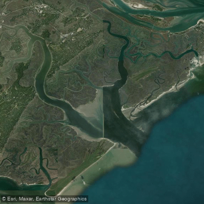
Wassaw Sound
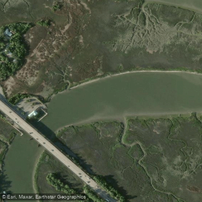
Turner Creek
Explore Georgia waters
Top paddling waters
Popular Cities
Loading popular cities...
Explore near Wilmington River
Access points
Nearby waters
More in Georgia

Smarter Paddling Starts in the App.
Paddleways gives you everything you need to plan smarter, paddle better, and own every trip from first launch to takeout.