Murrells Inlet
- Saltwater
- Inlet
Murrells Inlet
- Saltwater
- Inlet
- Sq. miles
- 0.9
- Boat Ramps
- 0
- Access Points
- 0
- Campsites
- 1
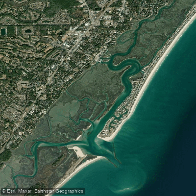
Murrells Inlet is a coastal tidal inlet and salt marsh system located near Myrtle Beach, South Carolina. The paddling experience is defined by calm, protected marsh creeks and winding channels lined with spartina grass, offering a quiet and scenic environment suitable for all skill levels. The area is known for its abundant wildlife, with frequent sightings of Atlantic bottlenose dolphins, great blue herons, snowy egrets, brown pelicans, and ospreys. Conditions are entirely dictated by tide and wind. The average tidal range is 4 to 5 feet, creating currents of 1 to 2 knots in the adjacent Intracoastal Waterway. For the easiest paddling with minimal current, it is best to launch about two hours before high tide and return within two hours after, a strategy that also helps avoid shallow oyster beds exposed at low tide. Strong winds opposing the tidal current can create choppy conditions, with morning paddles generally offering the calmest water.
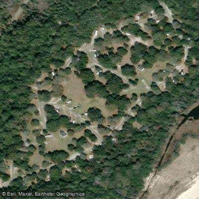
Several public launch sites provide access. Morse Park Landing is a popular and easy launch with a paved ramp and a large free parking lot, though it can get busy on weekends. Wachesaw Landing, on the Waccamaw River north of the inlet, offers a concrete ramp with a moderate current dependent on tide but has limited parking. Huntington Beach State Park provides easy sandy bank access for a park entry fee. Litchfield Landing has a soft, muddy bank at low tide, so a mid to high tide launch is recommended. The main inlet area also features a free, triple-lane public boat ramp near restaurants, which is convenient but sees significant motorized boat traffic. Paddlers should be aware of this traffic, especially when crossing the main inlet channel. The extensive marsh network can be confusing, with many similar-looking turns, so using a map or GPS is advised to avoid getting lost. The water is sheltered from ocean surf, though venturing near the inlet's jetties brings exposure to more open conditions. Amenities like restaurants and services are within walking distance of the main launch areas, adding convenience for a day trip.
Water access, boat ramps & amenities
Learn how to get on Murrells Inlet. Uncover great paddling access points, boat ramps, and all the facilities you need for an unforgettable day on the water. Some locations shown may border or include private property. Always check property boundaries and applicable regulations before visiting. PaddleWays's Public & Private Land layer can help you plan your access with confidence.
Paddle smarter with real-time insights
Whether you're en route and conditions shift or you're looking for the best spot based on current flows, we enable you to make informed decisions on the fly.








Find Places to Paddle

Over 400,000 Places to Paddle
Every user gets free access to launch points, boat ramps, and public property parcels.


Tides, wind & water conditions (10 day forecast)
On open water, wind and tide matter as much as the weather. See the best times to paddle Murrells Inlet and check the marine forecast before you launch.
Loading tide predictions…
Paddling near Murrells Inlet
Waccamaw River
Little Pee Dee River
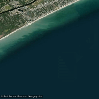
White Point Swash
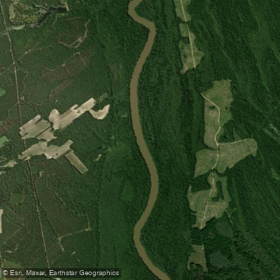
Great Pee Dee River
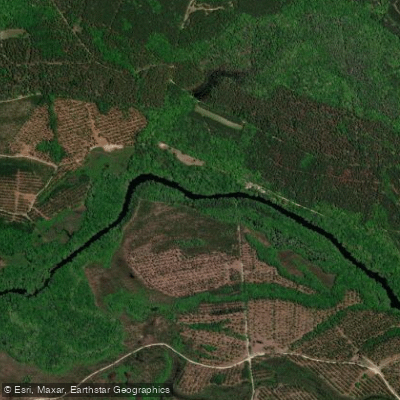
Black River
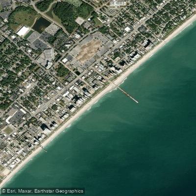
Myrtle Beach
Lynches River
Lumber River
Singleton Swash
Intracoastal Waterway
Explore South Carolina waters
Top paddling waters
Popular Cities
Loading popular cities...
Explore near Murrells Inlet

Smarter Paddling Starts in the App.
Paddleways gives you everything you need to plan smarter, paddle better, and own every trip from first launch to takeout.