May River
- Saltwater
- Tidal river
May River
- Saltwater
- Tidal river
- Sq. miles
- 4.7
- Boat Ramps
- 3
- Access Points
- 0
- Campsites
- 0
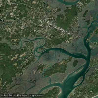
The May River is a tidal river in the South Carolina Lowcountry, linking Bluffton to the Atlantic Ocean. It is a broad, winding saltwater river characterized by untouched marshy wilderness, hammock islands, and high bluffs carved by the water. The river has a rich history as a Native American travel network, Civil War battle site, and steamship port. For paddlers, the primary considerations are wind and tide. The May River can get very windy very quickly, creating significant fetch and exposure on its open stretches. Tidal currents are a dominant force, and planning around them is essential. A popular route is to launch from the public boat ramp at Alljoy Landing. Paddlers are advised to leave at high tide, hang a right, and paddle past Potato Island and Myrtle Island toward downtown Bluffton. The destination is the dock near the historic Church of the Cross, an old red church high on a bluff, where you can lock up your boat and explore the town. The return trip can go through the creek that divides the Myrtle Island peninsula. Another option from Alljoy is to paddle to the May River Sandbar, a popular weekend destination that becomes a large beach at low tide, suitable for a picnic. For a more inland, nature-focused paddle, put in at the Calhoun Street Dock or Oyster Factory Park one hour before high tide. After passing the docks, cross the river to explore the hammock islands. Other noted launch points include Bluffton Oyster Company and Wilson Landing at Palmetto Bluff. The river sees significant recreational boat traffic, particularly on weekends around the sandbar. Wildlife sightings commonly include bottlenose dolphins, ospreys, pelicans, and egrets. The best seasons for paddling are generally spring, summer, and fall. Facilities are basic, with public boat ramps offering parking at sites like Alljoy Landing.
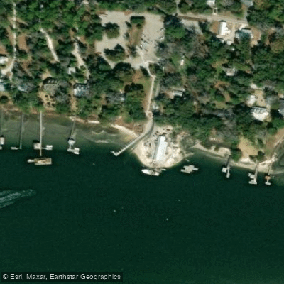
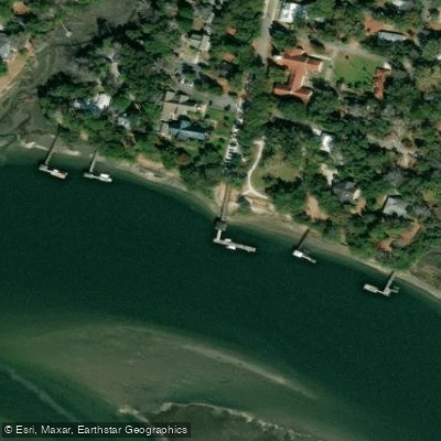
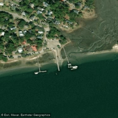
Water access, boat ramps & amenities
Learn how to get on May River. Uncover great paddling access points, boat ramps, and all the facilities you need for an unforgettable day on the water. Some locations shown may border or include private property. Always check property boundaries and applicable regulations before visiting. PaddleWays's Public & Private Land layer can help you plan your access with confidence.
Paddle smarter with real-time insights
Whether you're en route and conditions shift or you're looking for the best spot based on current flows, we enable you to make informed decisions on the fly.








Find Places to Paddle

Over 400,000 Places to Paddle
Every user gets free access to launch points, boat ramps, and public property parcels.


Tides, wind & water conditions (10 day forecast)
On open water, wind and tide matter as much as the weather. See the best times to paddle May River and check the marine forecast before you launch.
Loading tide predictions…
Paddling near May River

Savannah River
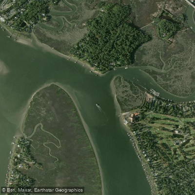
Wilmington River
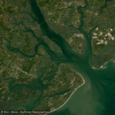
Port Royal Sound
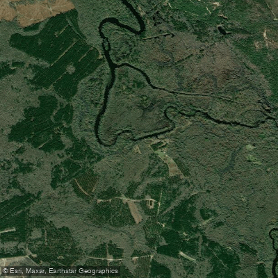
Ogeechee River
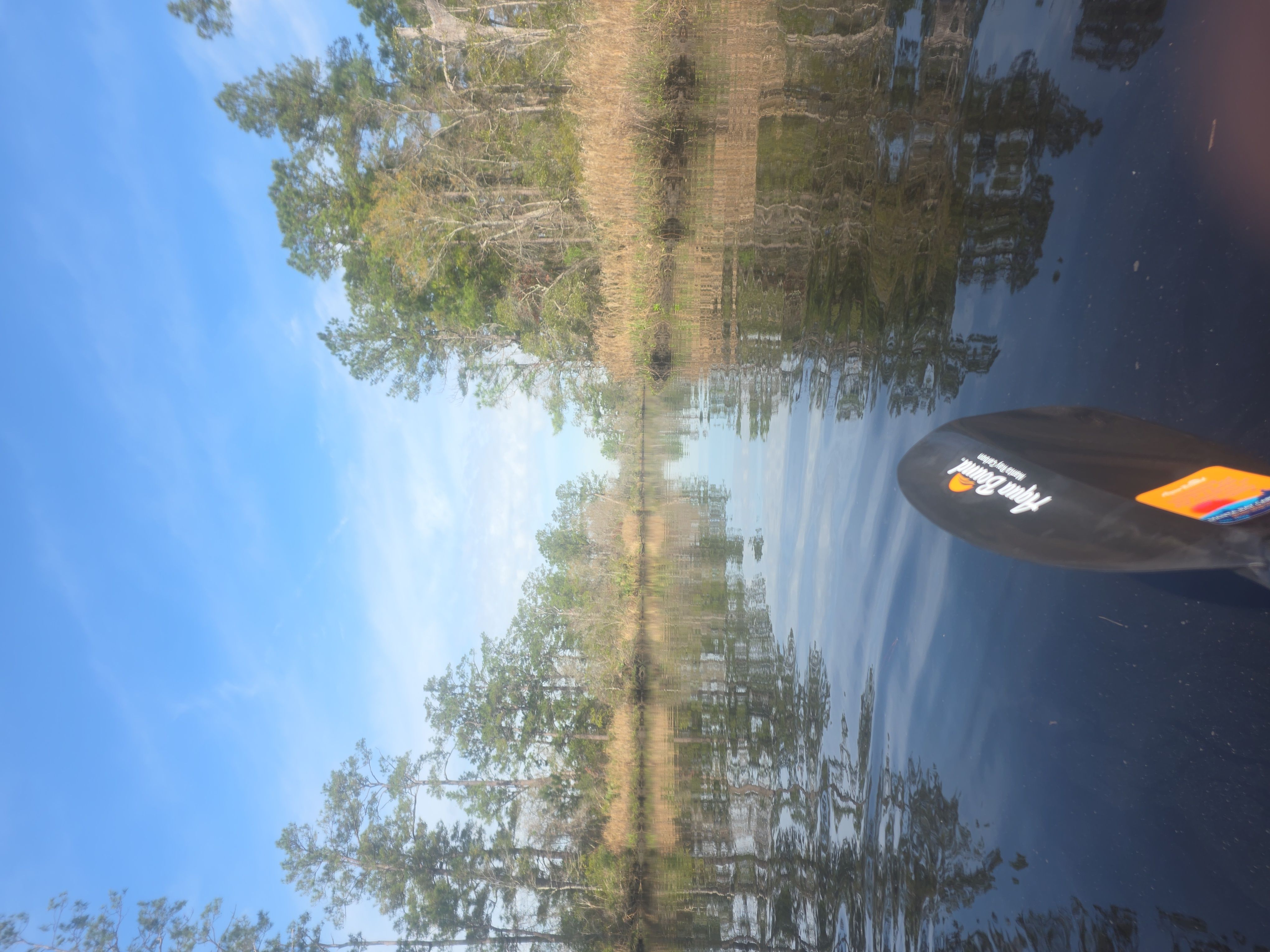
New River
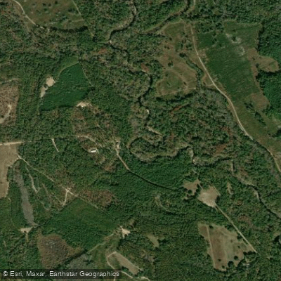
Canoochee River
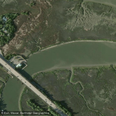
Turner Creek
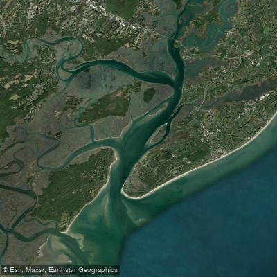
Calibogue Sound
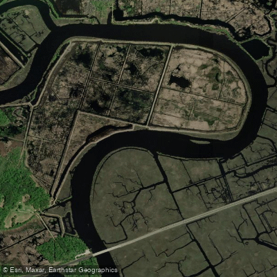
Combahee River
Explore South Carolina waters
Top paddling waters
Popular Cities
Loading popular cities...
Explore near May River

Smarter Paddling Starts in the App.
Paddleways gives you everything you need to plan smarter, paddle better, and own every trip from first launch to takeout.