Saluda Lake
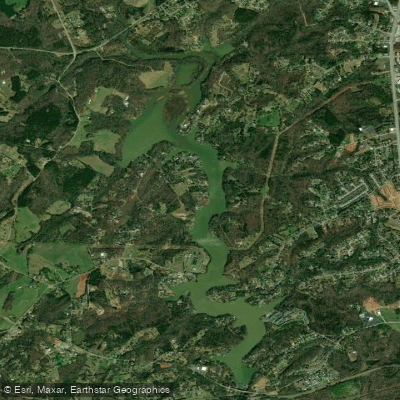
Saluda Lake
- Boat Ramps
- 1
- Access Points
- 2
- Campsites
- 0
Saluda Lake is a 331-acre reservoir located west of Greenville, South Carolina, formed by a dam on the Saluda River in 1905. The lake serves as a source of hydroelectric power and drinking water for Pickens County.
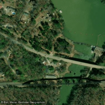
Access is limited, with two main launch points: Saluda Lake Landing on Motorboat Club Road and a public ramp on Pistol Club Road in Pickens County. Saluda Lake Landing offers kayak, paddleboard, and canoe rentals, along with bathroom facilities and a café.
The lake features significant siltation, particularly around the northern end, where paddlers must navigate around large sandbars. A narrow channel follows the eastern shoreline, which connects to the incoming Saluda River. The main body of the lake extends along the western side, with several small coves to explore.
The lake is cold year-round due to its depth, which reaches 40 feet near the dam. Fish species include largemouth bass, catfish, bluegill, and rainbow trout. Wildlife observers may spot blue herons and other waterbirds.
Motorized boats are permitted, including ski boats and pontoons, though shallow areas limit their operation in parts of the lake. Red buoys mark a water skiing slalom course. The banks are largely developed with homes, though some sections retain a more remote character with undeveloped shoreline.
The lake was historically a popular water skiing destination, and while that activity continues, siltation has impacted navigation in certain areas. Recent dredging operations have improved conditions for small craft like kayaks, though some shallow spots remain. The western shore features higher, rocky terrain, while the eastern shore is generally lower-lying.
Facilities at Saluda Lake Landing include parking, restrooms, and food service. The landing also offers access for swimming in a designated cove area.
Water access, boat ramps & amenities
Learn how to get on Saluda Lake. Uncover great paddling access points, boat ramps, and all the facilities you need for an unforgettable day on the water. Some locations shown may border or include private property. Always check property boundaries and applicable regulations before visiting. PaddleWays's Public & Private Land layer can help you plan your access with confidence.
Paddle smarter with real-time insights
Whether you're en route and conditions shift or you're looking for the best spot based on current flows, we enable you to make informed decisions on the fly.








Find Places to Paddle

Over 400,000 Places to Paddle
Every user gets free access to launch points, boat ramps, and public property parcels.


Water and weather conditions (10 day forecast)
See the best times to paddle Saluda Lake and check the forecast before you go.
No forecast data available.
Paddling near Saluda Lake

Saluda River

French Broad River

Savannah River
Tuckasegee River
Davidson River
Chauga River

Broad River

Little Tennessee River
Pigeon River
Lake Keowee
Explore South Carolina waters
Top paddling waters
Popular Cities
Loading popular cities...
Explore near Saluda Lake

Smarter Paddling Starts in the App.
Paddleways gives you everything you need to plan smarter, paddle better, and own every trip from first launch to takeout.