Singleton Swash
- Saltwater
- Bay
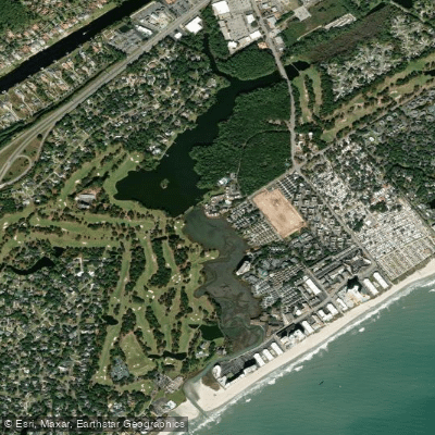
Singleton Swash
- Saltwater
- Bay
- Sq. miles
- 0.2
- Boat Ramps
- 0
- Access Points
- 0
- Campsites
- 0
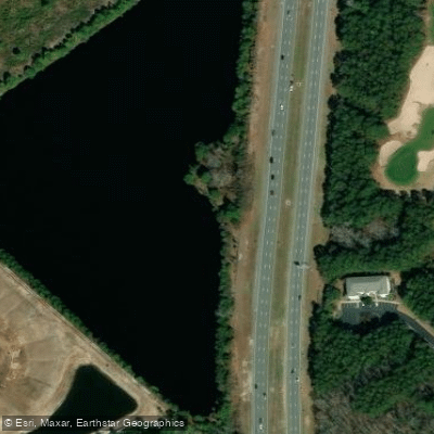
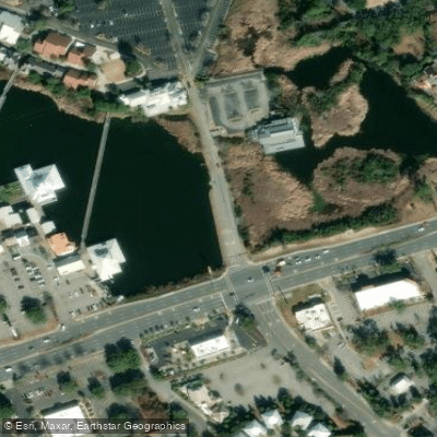
Singleton Swash is a coastal saltwater feature, specifically a tidal creek or marshy area where saltwater meets freshwater, located in Myrtle Beach, South Carolina. It is a narrow, linear water body that cuts through the beachfront, creating a distinct geographical feature. The swash is accessible from the beach, with a notable public access point in the Cabana District between 79th and 82nd Avenues North. A key characteristic for paddlers is the significant tidal influence. At low tide, the swash can be crossed on foot, indicating a shallow water level, while high tide brings in enough water for small craft. Paddlers must plan trips around these tides, as the waterway is likely impassable at low tide. The primary paddling route described is a short crossing of the swash itself, from the beach access near the Dunes Club to Ocean Annie's Beach Bar, which is only feasible during higher water.
The area is exposed to ocean conditions. A live webcam monitors the swash, providing managers with instant views of beach conditions, which suggests paddlers should check for surf and wind before launching. The beach here is generally less crowded, offering a quieter setting compared to main Myrtle Beach areas. The surrounding environment includes a saltmarsh full of wildlife, such as birds and alligators, which paddlers may encounter. There is a walkway over this marsh. Historically, the site was the location of a large Confederate salt works destroyed by the USS Ethan Allen in 1864. For facilities, the nearby Huntington Beach State Park offers amenities like picnic areas, grills, and bathrooms, though it is a separate location. The water quality is actively monitored through a partnership between Coastal Carolina University and Horry County, with instruments providing public data.
Water access, boat ramps & amenities
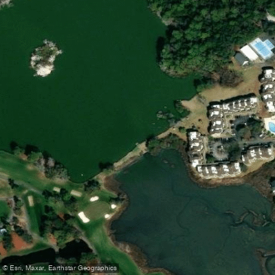
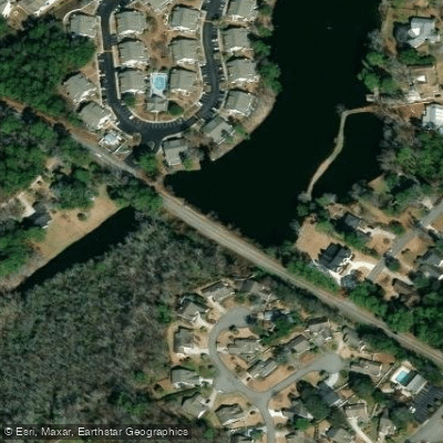
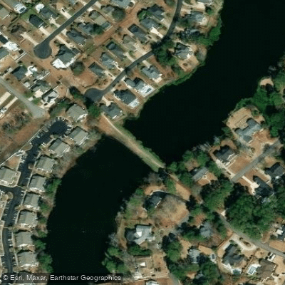
Learn how to get on Singleton Swash. Uncover great paddling access points, boat ramps, and all the facilities you need for an unforgettable day on the water. Some locations shown may border or include private property. Always check property boundaries and applicable regulations before visiting. PaddleWays's Public & Private Land layer can help you plan your access with confidence.
Paddle smarter with real-time insights
Whether you're en route and conditions shift or you're looking for the best spot based on current flows, we enable you to make informed decisions on the fly.








Find Places to Paddle

Over 400,000 Places to Paddle
Every user gets free access to launch points, boat ramps, and public property parcels.


Tides, wind & water conditions (10 day forecast)
On open water, wind and tide matter as much as the weather. See the best times to paddle Singleton Swash and check the marine forecast before you launch.
Loading tide predictions…
Paddling near Singleton Swash
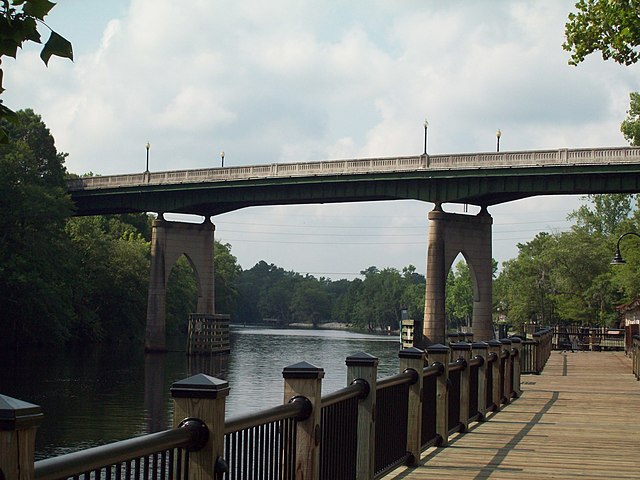
Waccamaw River
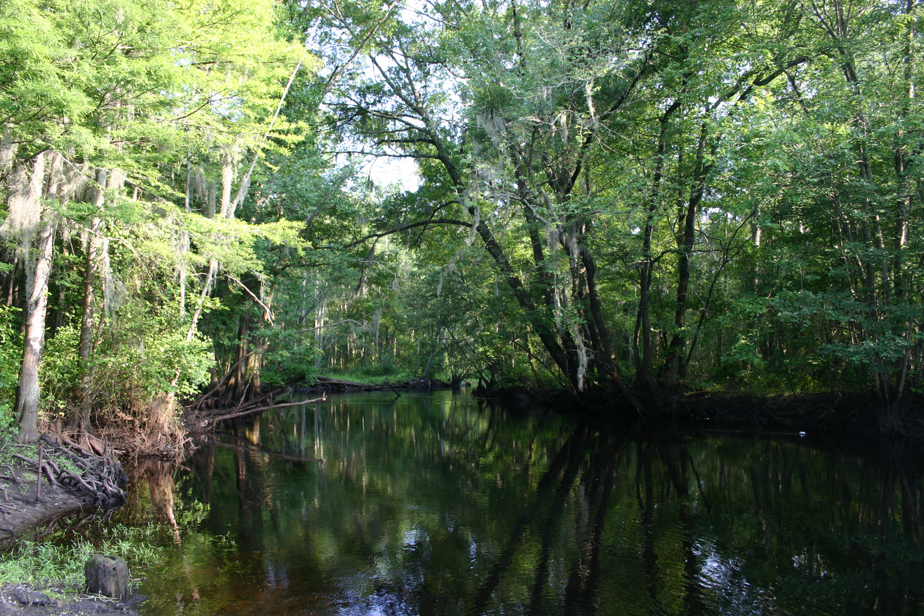
Little Pee Dee River
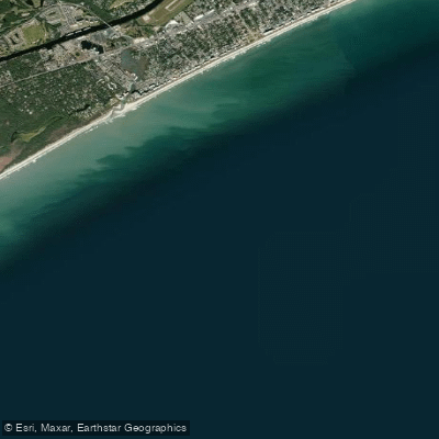
White Point Swash
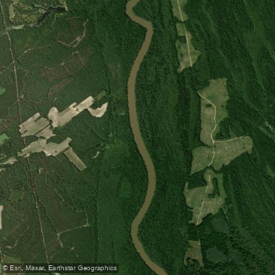
Great Pee Dee River
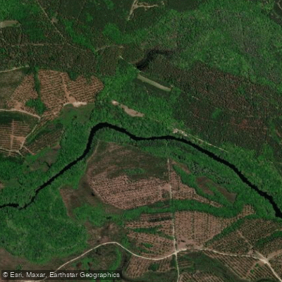
Black River
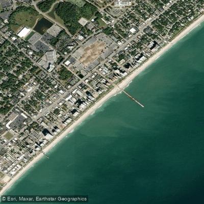
Myrtle Beach
Lynches River
Lumber River
Intracoastal Waterway
Explore South Carolina waters
Top paddling waters
Popular Cities
Loading popular cities...
Explore near Singleton Swash

Smarter Paddling Starts in the App.
Paddleways gives you everything you need to plan smarter, paddle better, and own every trip from first launch to takeout.