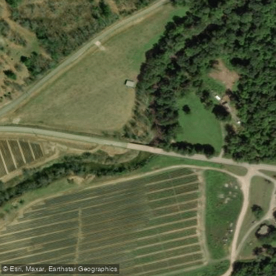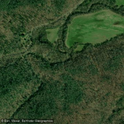
Curated by PaddleWays
Route
- Distance
- 14.2 mi
- Paddle time
- ~3.5 hrs
- Best for
- Intermediate paddlers
- Put-in → take-out
- Table Rock Reservoir Access → Highway 288 Access
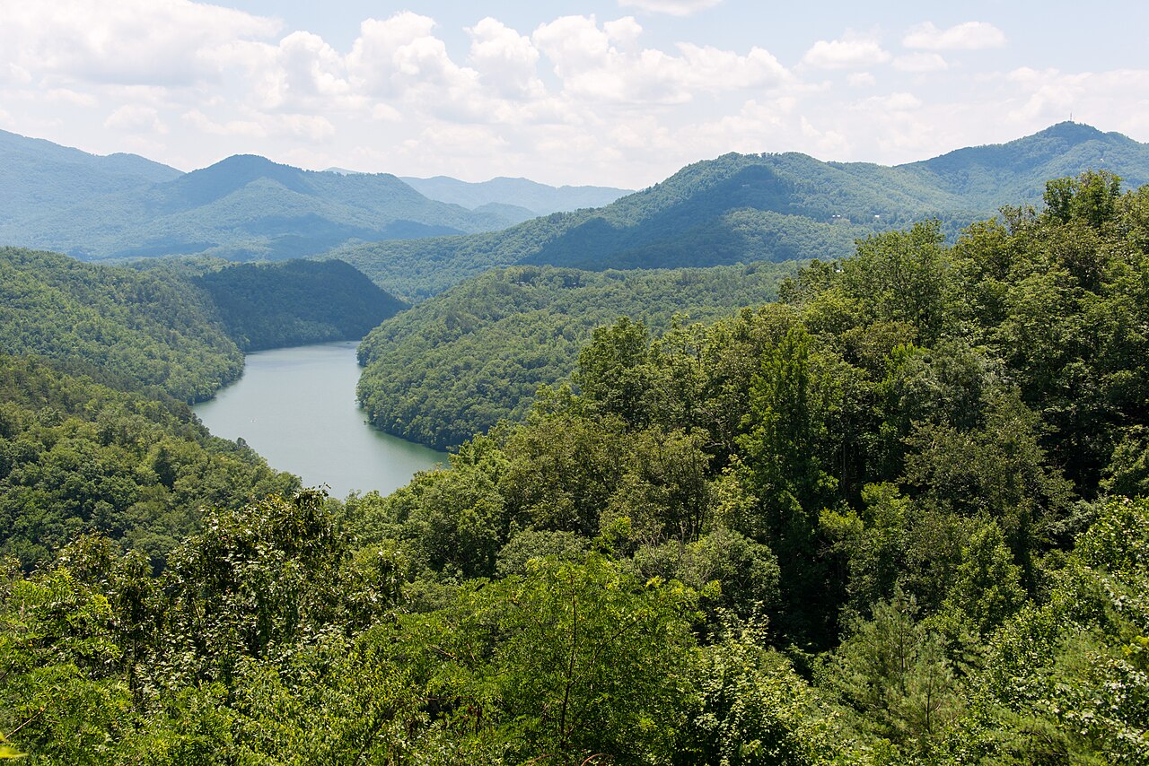
The South Saluda River is a scenic waterway located in the upstate region of South Carolina. It originates in the Blue Ridge Mountains near the North Carolina border and flows southward, eventually joining with the North Saluda River to form the main stem of the Saluda River. The South Saluda is approximately 30 miles long and is part of the broader Saluda River watershed.
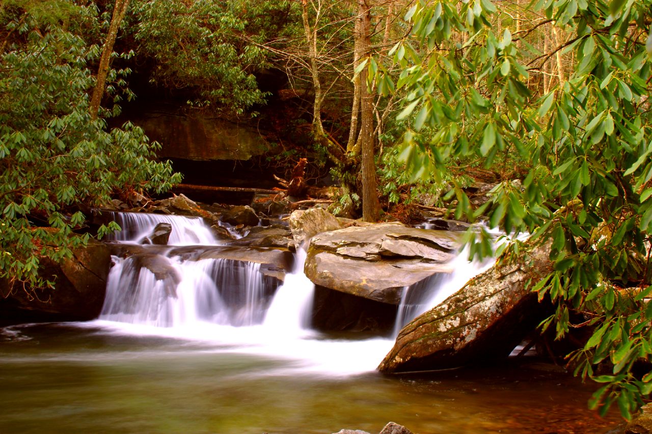
Paddling opportunities on the South Saluda range from calm flatwater sections to more challenging whitewater. The upper reaches offer a mix of Class II-III rapids, with one notable Class IV-V rapid called Blythe Shoals located downstream of the Naturaland Trust river access. Below this, the river transitions to mostly flatwater paddling as it approaches its confluence with the North Saluda. The difficulty of paddling varies by section, but generally ranges from beginner-friendly flatwater to intermediate whitewater requiring solid boat control and rescue skills. Paddlers should always check current water levels and be prepared for changing conditions.
Spring and fall are ideal paddling seasons, offering comfortable temperatures and typically good water levels. Summer can provide enjoyable trips as well, though water levels may be lower. Winter paddling is possible but requires proper cold-water gear and experience.
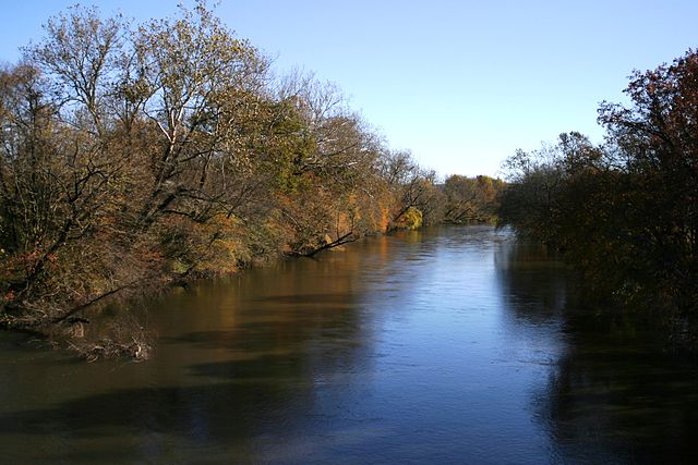
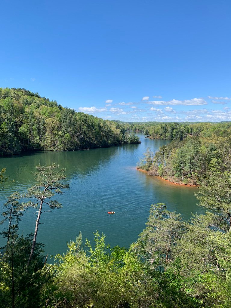
The river corridor supports a diverse ecosystem, with hardwood forests lining the banks. Wildlife sightings may include deer, turkey, various bird species, and occasionally river otters or beavers. Trout can be found in the upper, cooler sections of the river.
Key landmarks include the SCDNR River Access, Naturaland Trust River Access, and the scenic Blythe Shoals rapid. The river passes through rural areas of Greenville and Pickens counties, with the town of Travelers Rest being one of the nearest population centers to the upper section. Access points are limited but include the SCDNR River Access for putting in and the Naturaland Trust River Access for taking out on the upper section. These are located off Scenic Highway 11, providing relatively easy access for paddlers.
The South Saluda River holds cultural significance as part of the Cherokee's traditional lands and later as an important resource for early European settlers. Today, it serves as a valuable recreational asset and water source for the region.
Safety considerations include being aware of strainers (fallen trees), especially after storms, and respecting private property along the banks. All paddlers should wear properly fitted life jackets and be prepared for self-rescue. While primarily used for day trips, multi-day adventures are possible by combining the South Saluda with sections of the main Saluda River downstream, though careful planning is required due to limited camping options along the river itself.
Curated routes
Hand-picked by the PaddleWays team, with put-ins, take-outs, paddle times and the hazards along the way.
Route
Hazards
No paddler has reported a hazard here yet, so these are the dams, falls and big rapids on our map. Hazards change with flows and storms, so check them before you launch.
From the community
Nobody has shared a trip on South Saluda River yet. Paddle it, then tell the next paddler how it went.
Michelle C. •
New here yall! And by “NEW” I mean never kayaked in the south! Would love to hook up with another couple or group and go adventuring! We are near red bluff 777!!
See exactly where the public can get on and off the river. Launch points and boat ramps are paired with PaddleWays' public land data so you know where you can legally land.
Public shoreline
9%of the river's shoreline is public
Most of the riverbank is private. Launch, land and camp only at public access points.
Flows, weather and a route-by-route verdict, so you know which stretch of the South Saluda River is worth paddling today.
All Flow Stations
Live flows, marked hazards and fresh trip reports from paddlers who were just on the water, all in one place.





Every user gets free access to launch points, boat ramps, and public property parcels.
Loading popular cities...
PaddleWays gives you everything you need to plan smarter, paddle better, and own every trip from first launch to takeout.