Curated by PaddleWays
RouteClass I–II
- Distance
- 5.2 mi
- Paddle time
- ~1.5 hrs
- Best for
- Beginners, intermediate paddlers
- Put-in & take-out
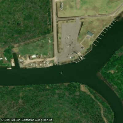
- Double Bayou Boat Ramp
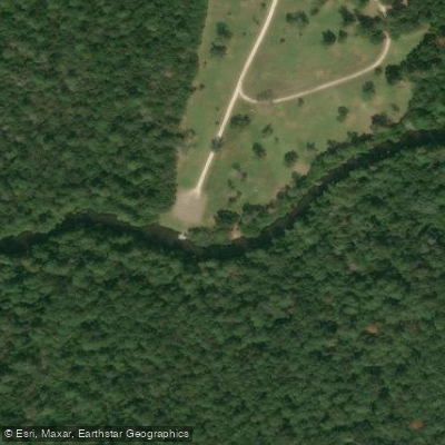
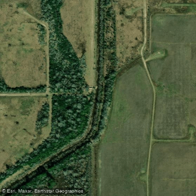
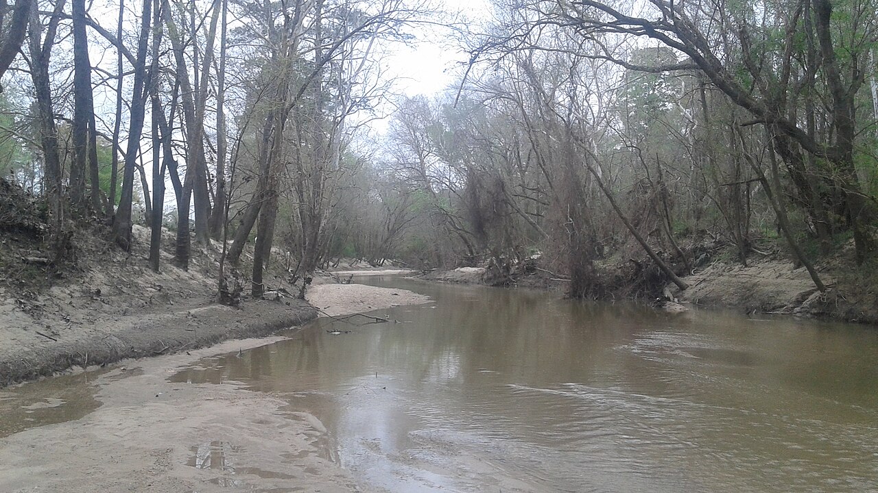
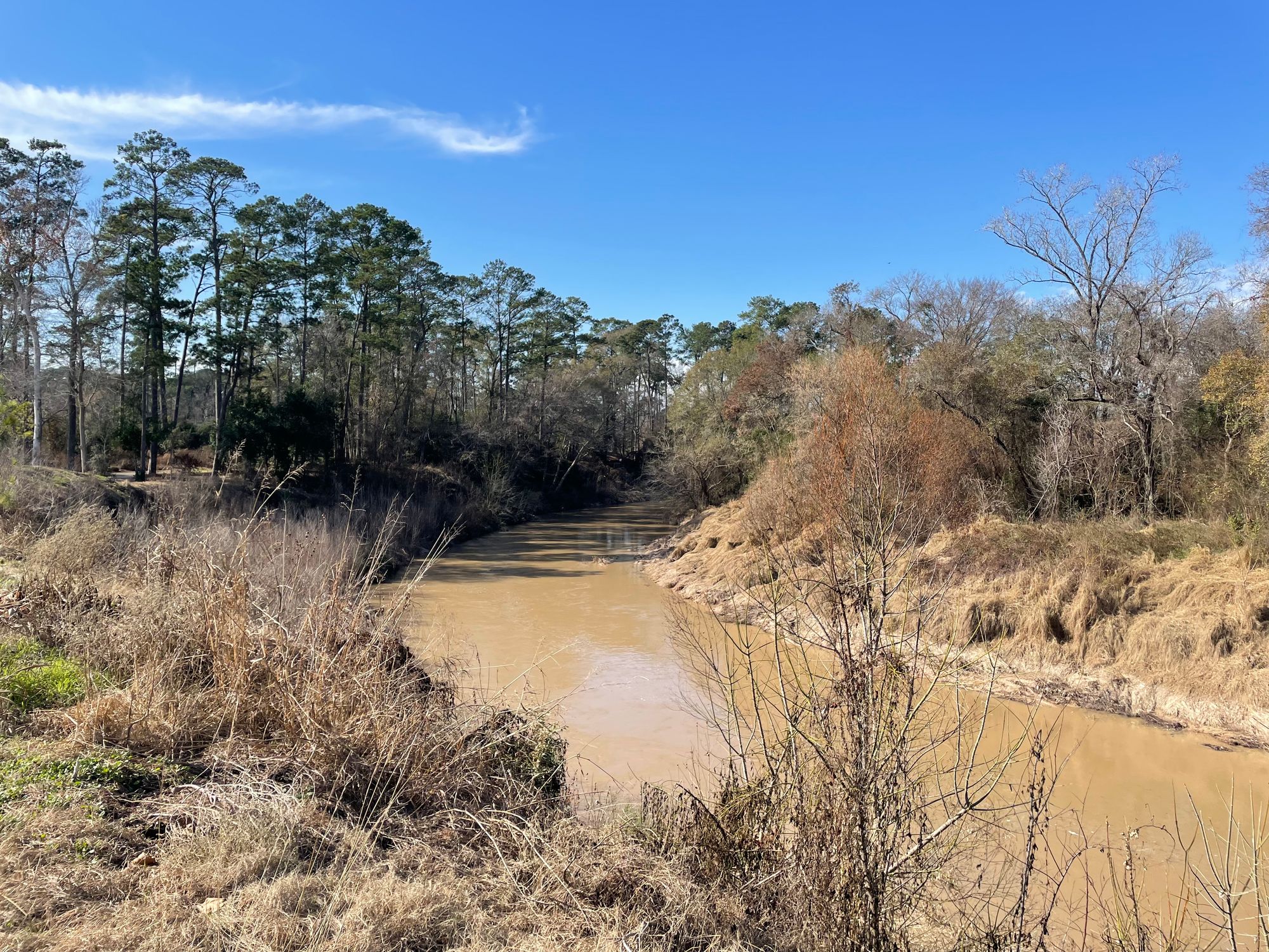
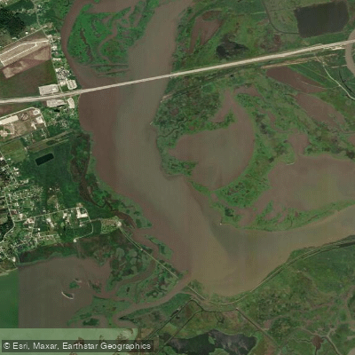
The East Fork Double Bayou is a coastal waterway in southeastern Texas, flowing generally southward through Chambers County before joining the West Fork to form Double Bayou proper near Oak Island. This tidal stream is part of the larger Trinity-San Jacinto Coastal Basin, ultimately draining into Trinity Bay and the Gulf of Mexico. The East Fork offers an excellent paddling experience, with a popular 12-mile round trip route between Double Bayou Park and Job Beason Park. This sheltered waterway provides flatwater to Class II conditions, making it suitable for paddlers of various skill levels.
The bayou's tidal nature influences water levels and flow, so checking tide charts is advisable when planning trips. Spring and fall are ideal paddling seasons, offering mild temperatures and opportunities to observe migratory birds. Summer outings can be enjoyable as well, with the bayou's tree-lined banks providing some shade. Paddlers may witness unique atmospheric phenomena, including rainbow-like halos around the sun and colorful sun dogs in the afternoon sky.
The ecosystem along the East Fork supports diverse wildlife. Paddlers can expect to see wading birds like herons and egrets, as well as alligators basking on the banks. The surrounding coastal prairie and wetlands host a variety of plant species adapted to the brackish environment.
Key landmarks include the put-in at Double Bayou Park and the take-out at Job Beason Park, both offering convenient access points. For those seeking a longer adventure, continuing downstream to Oak Island is an option, where small concrete boat ramps provide an additional take-out point. Oak Island, situated at the confluence of the East and West Forks with Trinity Bay, offers a glimpse into local coastal community life.
The nearest town of significance is Anahuac, known as the Alligator Capital of Texas. This area has historical importance related to early Texas settlement and the Texas Revolution, adding cultural context to paddling trips.
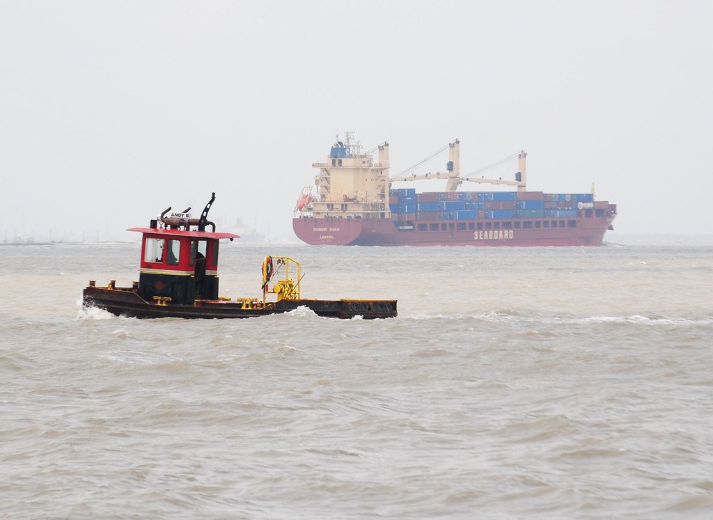
Safety considerations include being aware of tidal fluctuations, potential alligator encounters, and occasional barge traffic in the lower reaches near Trinity Bay. Paddlers should also be mindful of weather conditions, as coastal storms can develop quickly. Environmental projects and concerns in the Double Bayou watershed provide educational opportunities for paddlers interested in coastal ecology and conservation efforts. The area's rich natural and cultural heritage makes the East Fork Double Bayou an engaging destination for both recreational paddlers and those seeking a deeper connection to Texas's coastal landscape.
Curated routes
Hand-picked by the PaddleWays team, with put-ins, take-outs, paddle times and the hazards along the way.
RouteClass I–II
Hazards
No hazards are marked on East Fork Double Bayou yet. That is not the same as none being there: if you find one, report it for the next paddler.
From the community
Nobody has shared a trip on East Fork Double Bayou yet. Paddle it, then tell the next paddler how it went.
See exactly where the public can get on and off the river. Launch points and boat ramps are paired with PaddleWays' public land data so you know where you can legally land.
Public shoreline
0%of the river's shoreline is public
Most of the riverbank is private. Launch, land and camp only at public access points.
Flows, weather and a route-by-route verdict, so you know which stretch of the East Fork Double Bayou is worth paddling today.
No forecast data available.
Live flows, marked hazards and fresh trip reports from paddlers who were just on the water, all in one place.





Every user gets free access to launch points, boat ramps, and public property parcels.
Loading popular cities...
PaddleWays gives you everything you need to plan smarter, paddle better, and own every trip from first launch to takeout.