Malaquite Beach
- Saltwater
- Beach
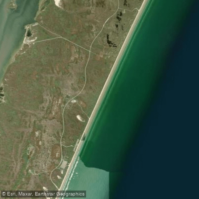
Malaquite Beach
- Saltwater
- Beach
- Sq. miles
- 0.2
- Boat Ramps
- 1
- Access Points
- 0
- Campsites
- 4
Malaquite Beach is the primary visitor beach within Padre Island National Seashore, offering a classic Gulf of Mexico paddling launch from a pristine, undeveloped shoreline. The main access point is directly in front of the Malaquite Visitor Center, which provides a large, paved parking lot, a significant advantage over other beaches in the park. A boardwalk leads from the visitor center complex directly to the sand, minimizing the carry distance to the water's edge. This beach is part of the larger "Closed Beach" area, which is closed to all vehicle traffic, ensuring a peaceful launch zone free from cars. The beach extends for miles in both directions, featuring pure white sand and relatively clear water by Texas standards. The shoreline gradient is shallow, which can affect the surf zone. Paddlers should be prepared for a typical Gulf shore break, with waves noted to be around two feet in height under normal conditions, suitable for stand-up paddleboards and kayaks. Strong currents flowing parallel to the beach and tides flowing to and from the beach are documented hazards that paddlers must assess before entering the water. The area is fully exposed to prevailing winds from the Gulf. The Malaquite Beach area provides key amenities for paddlers, including outdoor rinse-off showers available 24/7 and public restrooms. The visitor center itself offers an information desk and exhibits on coastal ecology. Swimming and paddling are permitted, but motorized vessels are prohibited from launching at Malaquite Beach, North Beach, and South Beach due to public safety concerns related to the shallow gradient; only specific soft-hulled vessels under 14 feet are allowed to launch further south on South Beach. The beach is known for excellent beachcombing, with a one-gallon limit on collected shells, and serves as the headquarters for the park's sea turtle conservation program. Water temperatures are warm seasonally, with examples in the high 80s (°F) noted in summer. Paddlers can explore the wild coastline north or south from the launch, with the entire national seashore representing the longest undeveloped barrier island in the world.
Water access, boat ramps & amenities
Learn how to get on Malaquite Beach. Uncover great paddling access points, boat ramps, and all the facilities you need for an unforgettable day on the water. Some locations shown may border or include private property. Always check property boundaries and applicable regulations before visiting. PaddleWays's Public & Private Land layer can help you plan your access with confidence.
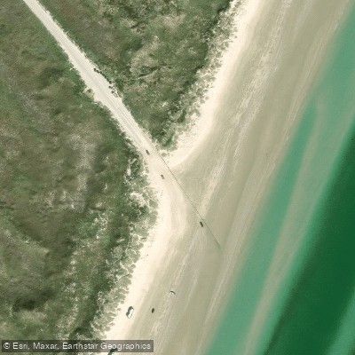
Paddle smarter with real-time insights
Whether you're en route and conditions shift or you're looking for the best spot based on current flows, we enable you to make informed decisions on the fly.








Find Places to Paddle

Over 400,000 Places to Paddle
Every user gets free access to launch points, boat ramps, and public property parcels.


Tides, wind & water conditions (10 day forecast)
On open water, wind and tide matter as much as the weather. See the best times to paddle Malaquite Beach and check the marine forecast before you launch.
Loading tide predictions…
Paddling near Malaquite Beach
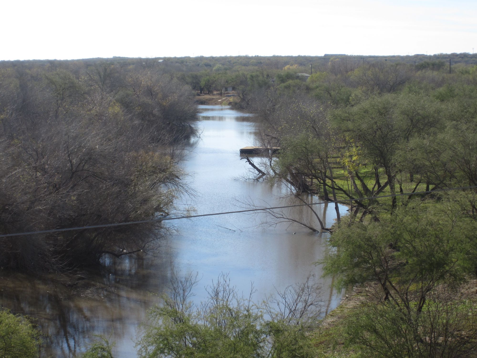
Nueces River
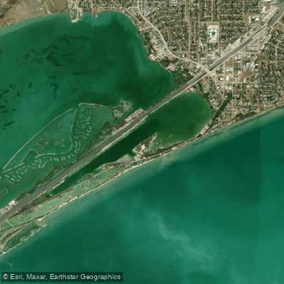
Sunset Lake
Corpus Christi Bay
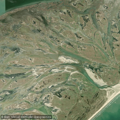
Vinson Slough
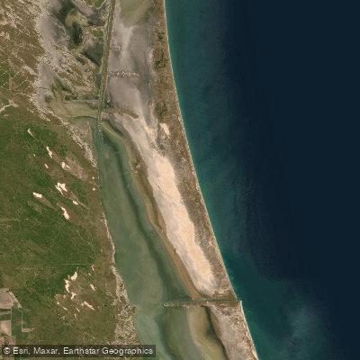
Laguna Madre
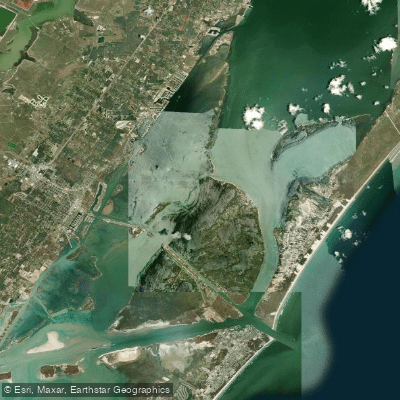
Redfish Bay
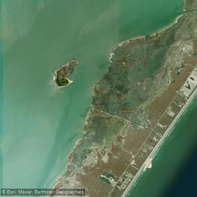
Shamrock Cove
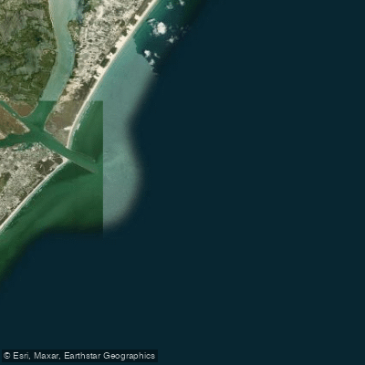
Aransas Pass
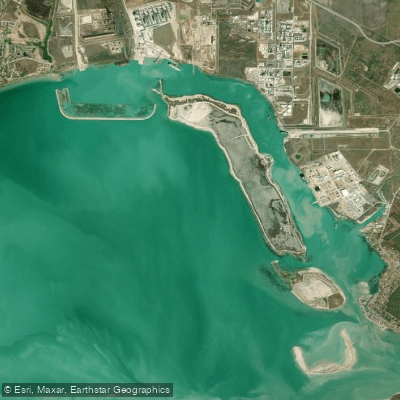
Ingleside Cove
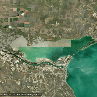
Nueces Bay
Explore Texas waters
Top paddling waters
Popular Cities
Loading popular cities...
Explore near Malaquite Beach
Access points
Nearby waters
More in Texas

Smarter Paddling Starts in the App.
Paddleways gives you everything you need to plan smarter, paddle better, and own every trip from first launch to takeout.