American Fork
American Fork
- Boat Ramps
- 2
- Access Points
- 9
- Campsites
- 23
The American Fork River originates high in the Wasatch Range of central Utah, flowing westward through American Fork Canyon before emptying into Utah Lake. This relatively short river, approximately 20 miles long, drains a watershed of steep mountain terrain and forests in the Uinta-Wasatch-Cache National Forest. The river offers a range of paddling opportunities, from calm flatwater on reservoirs to challenging whitewater runs.
The upper section in American Fork Canyon features Class IV rapids, requiring advanced whitewater skills to navigate the narrow, steep creek. The lower section, from Creek Road to I-15, provides a more moderate Class I-III experience suitable for intermediate paddlers. Two reservoirs along the river's course, Tibble Fork and Silver Lake Flat, offer scenic flatwater paddling amid stunning mountain backdrops. Tibble Fork Reservoir, easily accessible from American Fork, is popular for kayaking and stand-up paddleboarding. The more remote Silver Lake Flat Reservoir provides a serene paddling experience at 7,500 feet elevation.
The American Fork's flow is heavily influenced by snowmelt, with peak runoff typically occurring in late spring to early summer. Late summer through fall offers more stable water levels for paddling the river sections, while the reservoirs can be enjoyed throughout the warmer months.
The river corridor supports diverse wildlife, including moose, deer, and various bird species. Anglers prize the river and reservoirs for trout fishing. Notable landmarks include the dramatic cliffs of American Fork Canyon and the historic mining remnants visible along some stretches.
Primary access points include Tibble Fork Reservoir, approximately 7 miles up-canyon from American Fork city, and various spots along the lower river near populated areas. The river played a significant role in early Mormon settlement of the area and later supported mining operations in American Fork Canyon.
Paddlers should be aware of rapidly changing weather conditions in the canyon and cold water temperatures year-round. Some sections may require permits or have seasonal restrictions. While primarily a day-trip destination, the combination of river runs and reservoir paddling can be linked for multi-day adventures in this scenic region of the Wasatch Front.
Water access, boat ramps & amenities
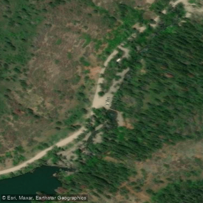
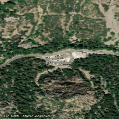
Learn how to get on American Fork. Uncover great paddling access points, boat ramps, and all the facilities you need for an unforgettable day on the water. Some locations shown may border or include private property. Always check property boundaries and applicable regulations before visiting. PaddleWays's Public & Private Land layer can help you plan your access with confidence.
Paddle smarter with real-time insights
Whether you're en route and conditions shift or you're looking for the best spot based on current flows, we enable you to make informed decisions on the fly.








Find Places to Paddle

Over 400,000 Places to Paddle
Every user gets free access to launch points, boat ramps, and public property parcels.


Water and weather conditions (10 day forecast)
See the best times to paddle American Fork and check the forecast before you go.
AMERICAN FK AB UPPER POWERPLANT NR AMERICAN FK, UT
Paddling near American Fork
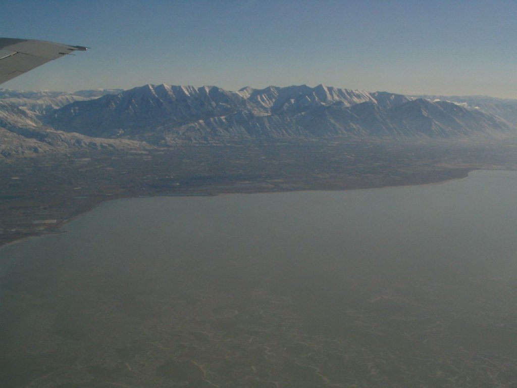
Utah Lake
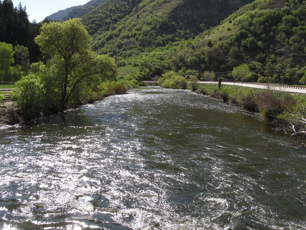
Provo River
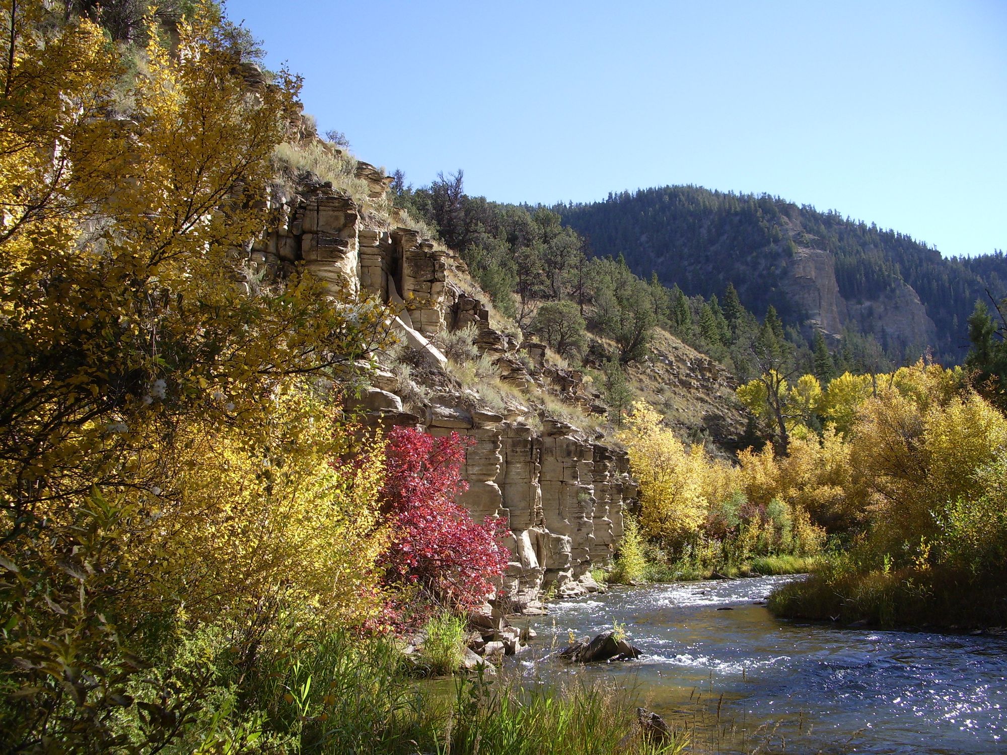
Strawberry River
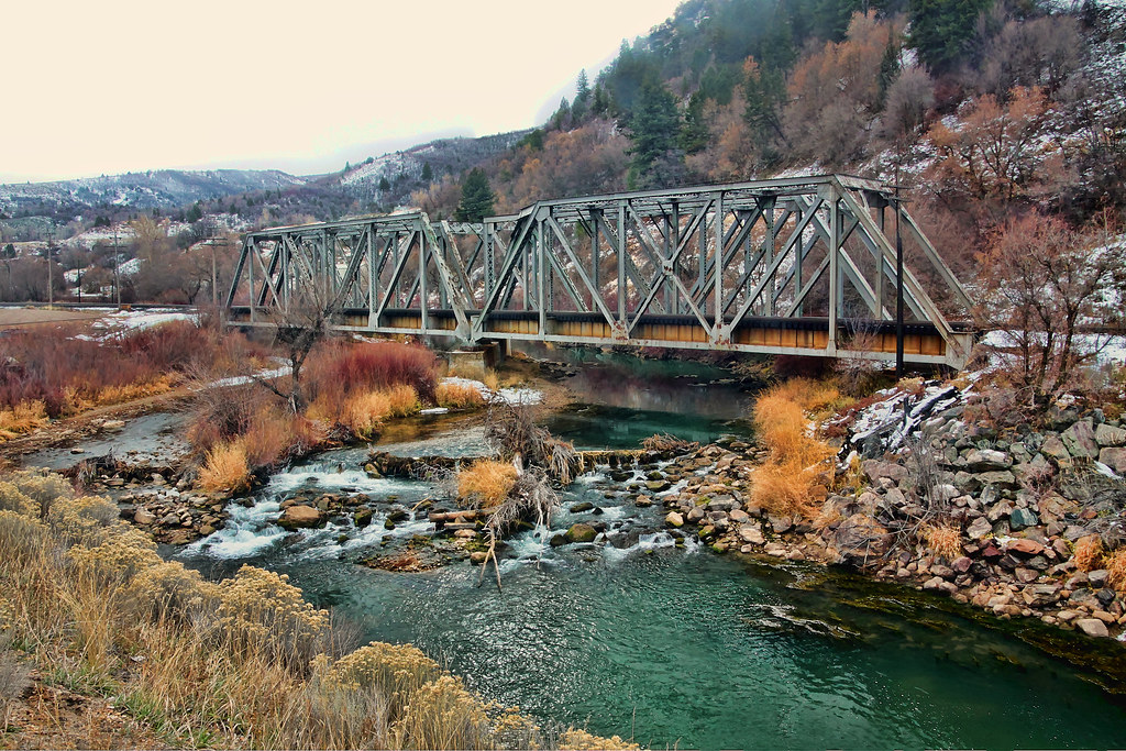
Weber River
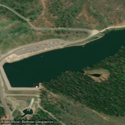
Tibble Fork Reservoir
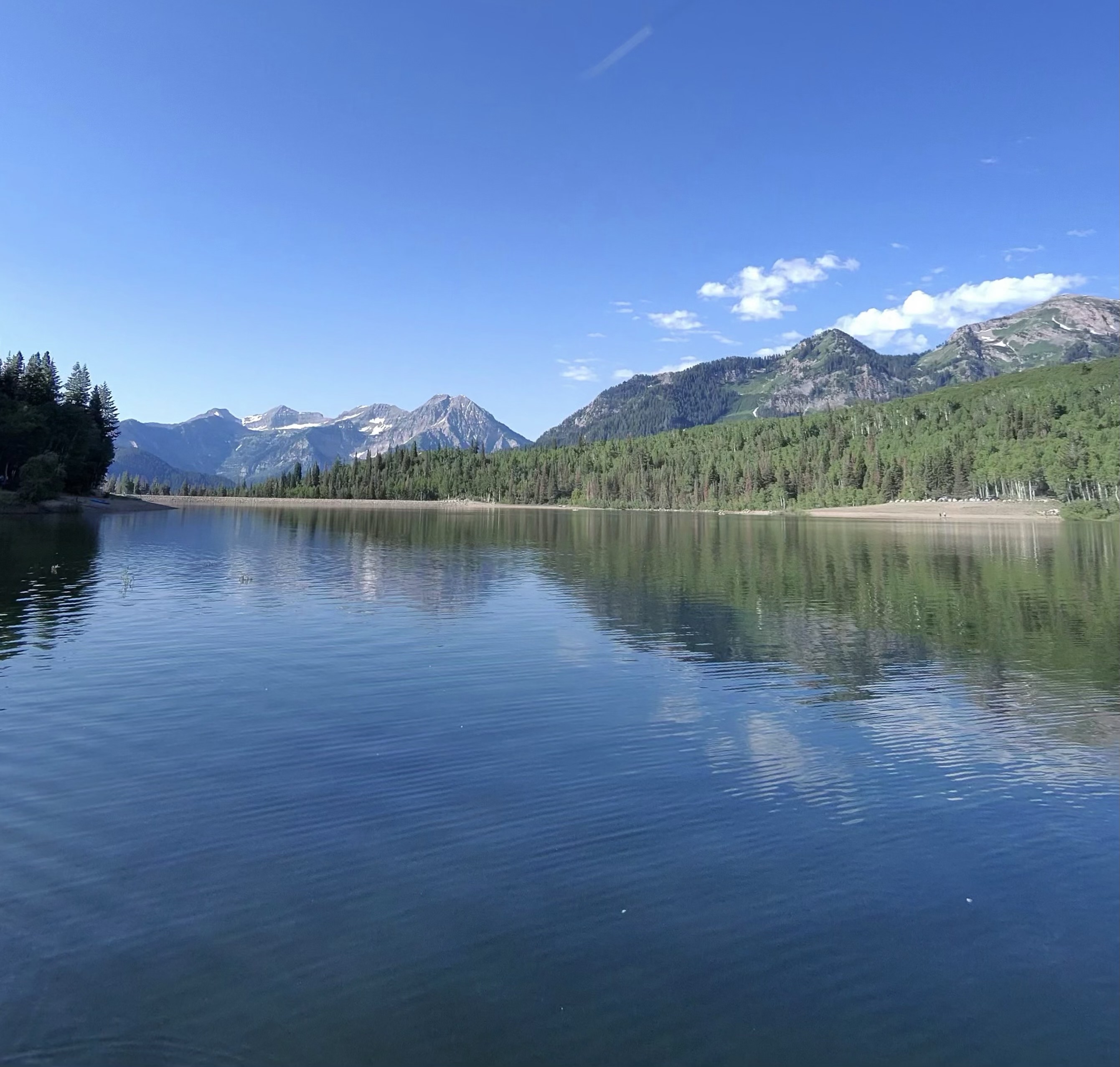
Silver Lake Flat Reservoir
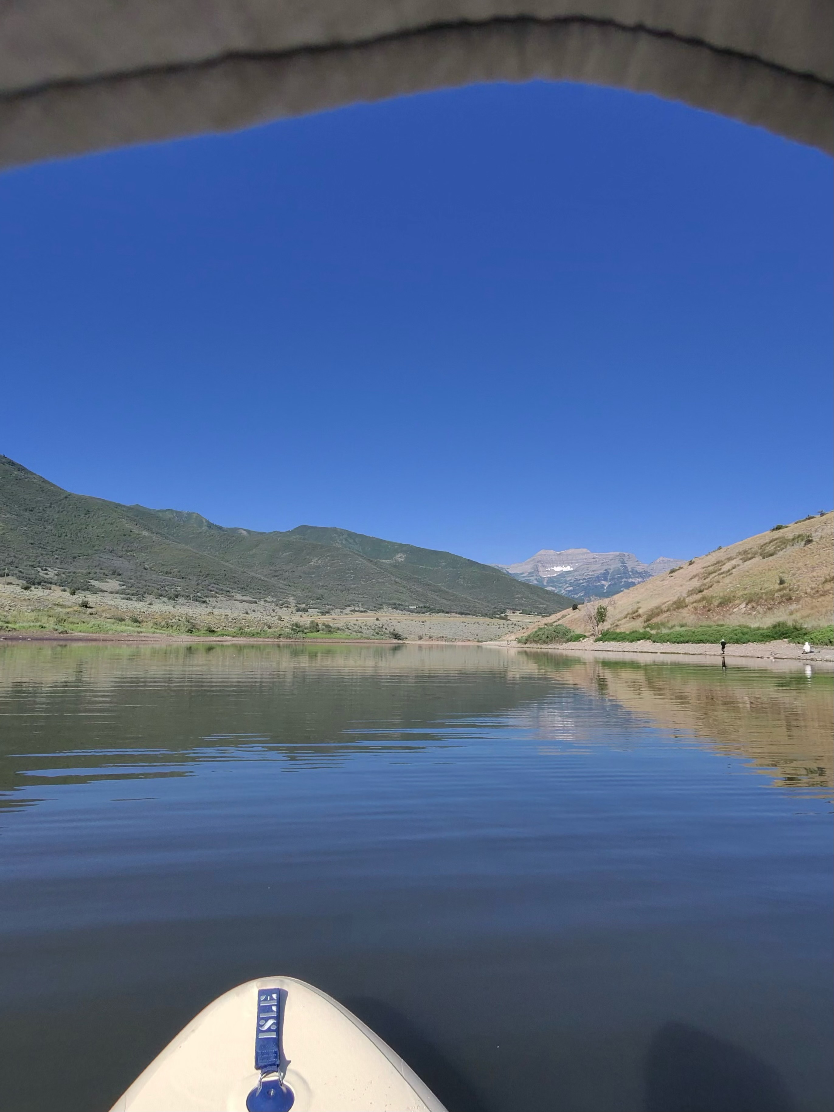
Deer Creek Reservoir
Jordan River
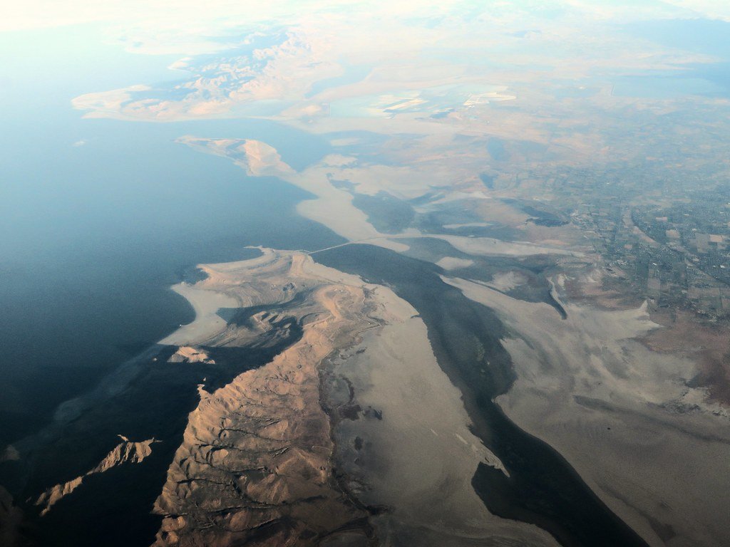
Great Salt Lake
Explore Utah waters
Top paddling waters
Popular Cities
Loading popular cities...
Explore near American Fork
Access points
Nearby waters
More in Utah

Smarter Paddling Starts in the App.
Paddleways gives you everything you need to plan smarter, paddle better, and own every trip from first launch to takeout.