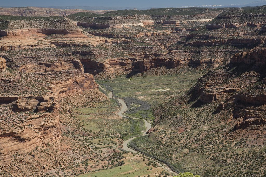
The Dolores River is a major tributary of the Colorado River, originating high in the San Juan Mountains of southwestern Colorado. It flows generally southwest for approximately 250 miles through Colorado and Utah before joining the Colorado River near Moab, Utah. The river drains a watershed of over 4,600 square miles, including parts of the San Juan National Forest and canyonlands of the Colorado Plateau. The Dolores offers a diverse range of paddling opportunities, from alpine rapids in its upper reaches to desert canyons in its lower sections.
Notable paddling segments include: - Ponderosa Gorge: Class III-IV whitewater through a scenic alpine canyon - Slickrock Canyon: A popular multi-day trip with Class II-III rapids - Gateway Canyon: Technical Class III-IV rapids through stunning red rock formations
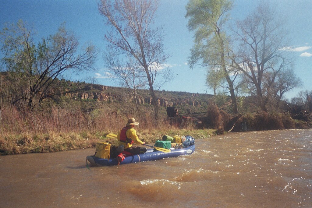
Overall, the river's difficulty ranges from Class II to IV, with some Class V rapids at higher flows. Intermediate to advanced paddling skills are required for most sections, especially in the lower canyons. The prime paddling season is typically April to June, depending on snowmelt. Releases from McPhee Dam can extend the season, but flows are often unreliable. Late summer and fall can offer good conditions for experienced paddlers comfortable with low water levels.
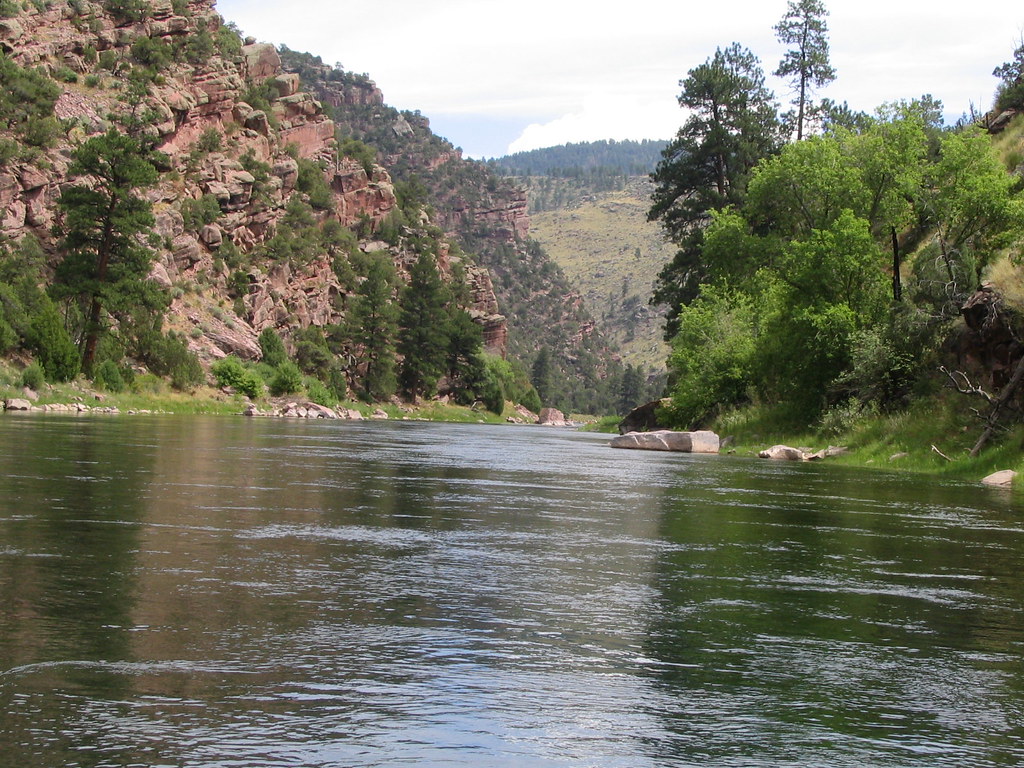
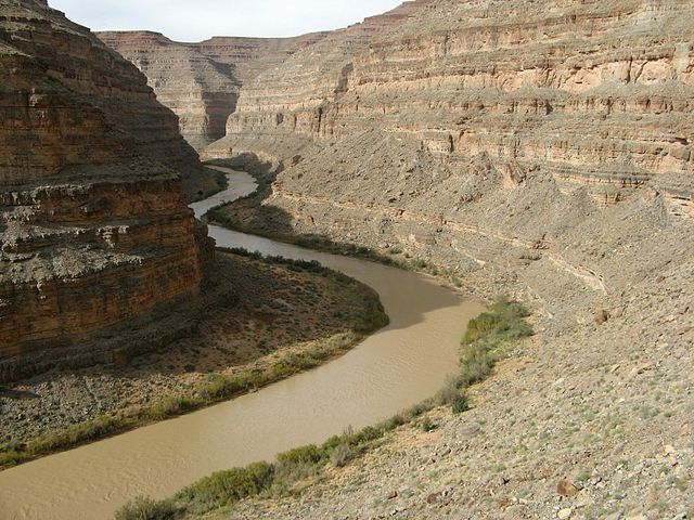
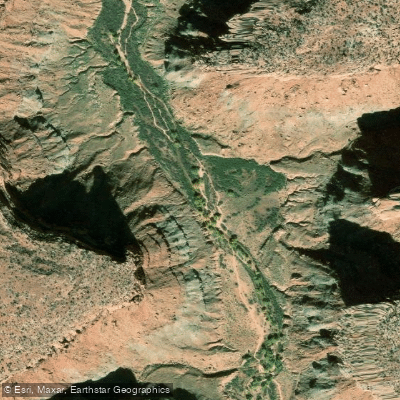
The river passes through diverse ecosystems, from subalpine forests to high desert. Wildlife includes mule deer, bighorn sheep, and various raptors. The lower canyons feature striking geological formations, including the famous Hanging Flume, a relic of 19th-century gold mining.
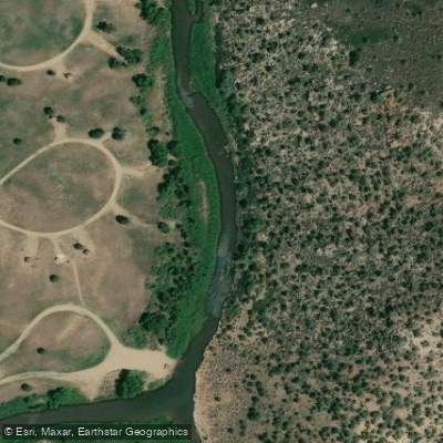
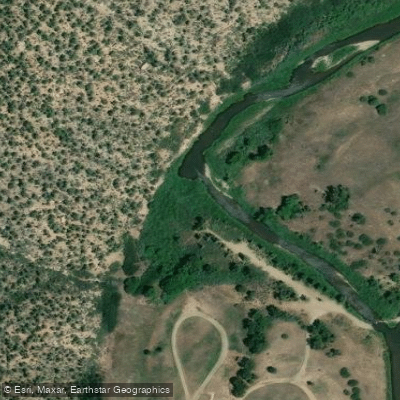
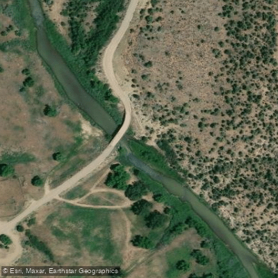
Key access points include: - Rico and Dolores, CO for upper sections - Bradfield Bridge (below McPhee Dam) - Slickrock and Bedrock, CO for popular multi-day trips - Gateway, CO for the lower canyon
The Dolores holds significant cultural importance, with a history encompassing ancestral Puebloan civilizations, Spanish exploration, and pioneer settlement. Today, it's valued for recreation, irrigation, and as a vital desert ecosystem.
Safety considerations include remote stretches with limited access, potential flash floods, and challenging rapids. Permits are required for some sections, particularly in Utah. Multi-day trips are popular, especially the 97-mile Slickrock to Gateway stretch, offering a premier wilderness river experience through spectacular canyon country.