Maple Lake
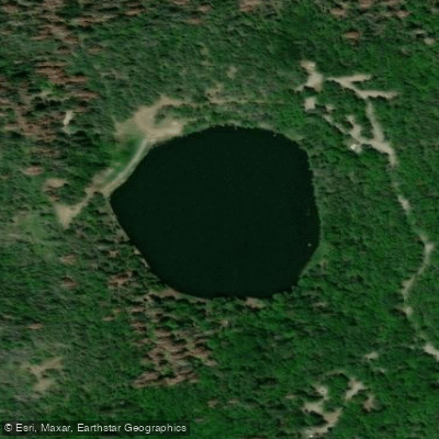
Maple Lake
- Boat Ramps
- 0
- Access Points
- 0
- Campsites
- 3
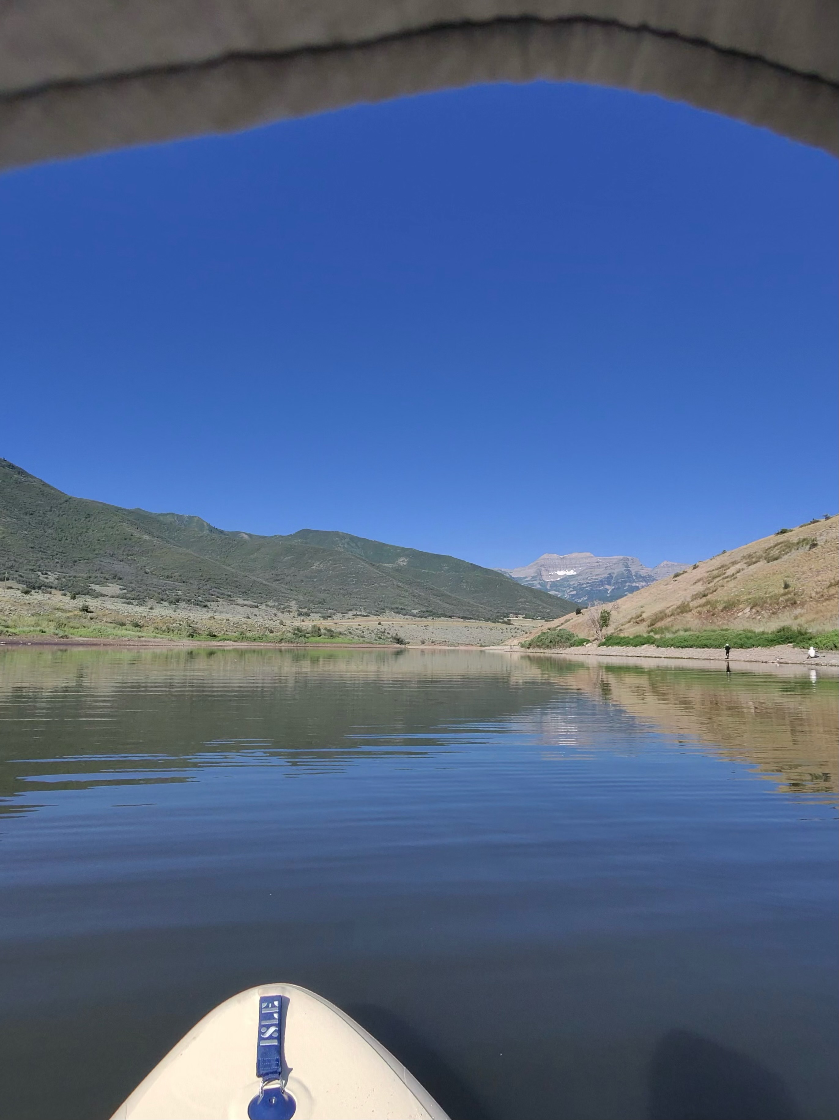
Maple Lake offers calm water paddling in a forested mountain setting at 5,800 feet elevation. Located in Utah's Spanish Fork Canyon near Payson, this smaller lake provides peaceful conditions ideal for kayaking, canoeing, and paddleboarding.
The lake sits within the Uinta-Wasatch-Cache National Forest and is surrounded by white fir, pinyon pine, and Gambel oak trees that provide natural shade and shelter.
Only non-motorized watercraft are permitted on Maple Lake, creating a quiet environment free from boat traffic noise. The calm waters make it suitable for paddlers of all skill levels, including families and beginners.
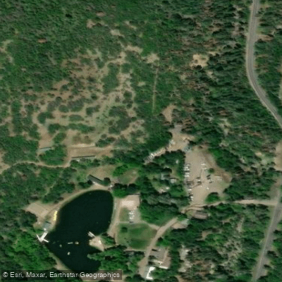
Access is via the Maple Lake Campground, which provides the primary entry point to the water. The Red Lake Trail begins from the upper camping areas near the lake, offering hiking opportunities for those wanting to extend their visit.
The Mount Nebo Wilderness Area borders the lake, contributing to the area's pristine mountain scenery. Visitors can expect views of dense forests and colorful meadows characteristic of the Nebo Loop Scenic Byway region.
Wildlife viewing opportunities exist, and the creek below the campground supports rainbow and brook trout fishing. No potable water is available at the site, so paddlers must bring all necessary drinking water.
Vault restrooms and picnic facilities are provided at the campground. The area operates seasonally and requires a fee for day use or camping. Vehicle access involves narrow roads with tight turns, making the location unsuitable for large RVs or trailers.
Bears inhabit the area, requiring proper food storage practices. All trash must be packed out, as this is designated as a "pack it in, pack it out" facility. The campground gates operate from 7 AM to 10 PM, with quiet hours enforced from 10 PM to 6 AM.
Water access, boat ramps & amenities
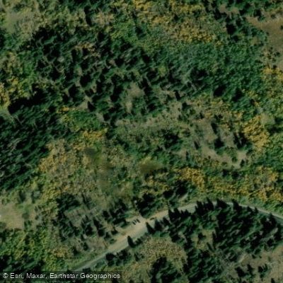
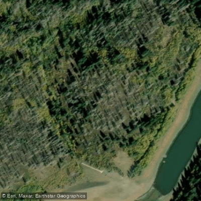
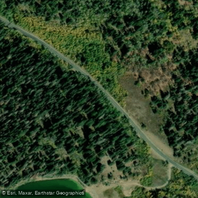
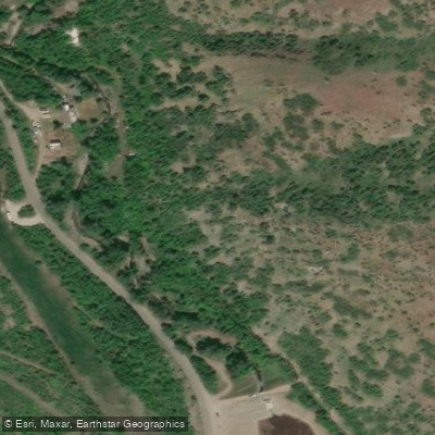
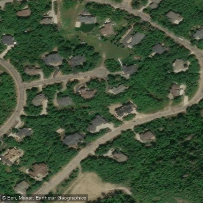
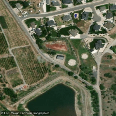
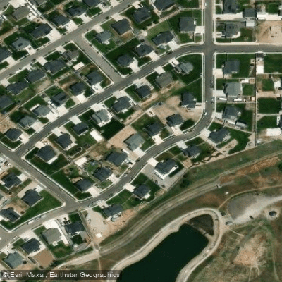
Learn how to get on Maple Lake. Uncover great paddling access points, boat ramps, and all the facilities you need for an unforgettable day on the water. Some locations shown may border or include private property. Always check property boundaries and applicable regulations before visiting. PaddleWays's Public & Private Land layer can help you plan your access with confidence.
Paddle smarter with real-time insights
Whether you're en route and conditions shift or you're looking for the best spot based on current flows, we enable you to make informed decisions on the fly.








Find Places to Paddle

Over 400,000 Places to Paddle
Every user gets free access to launch points, boat ramps, and public property parcels.


Water and weather conditions (10 day forecast)
See the best times to paddle Maple Lake and check the forecast before you go.
No forecast data available.
Paddling near Maple Lake
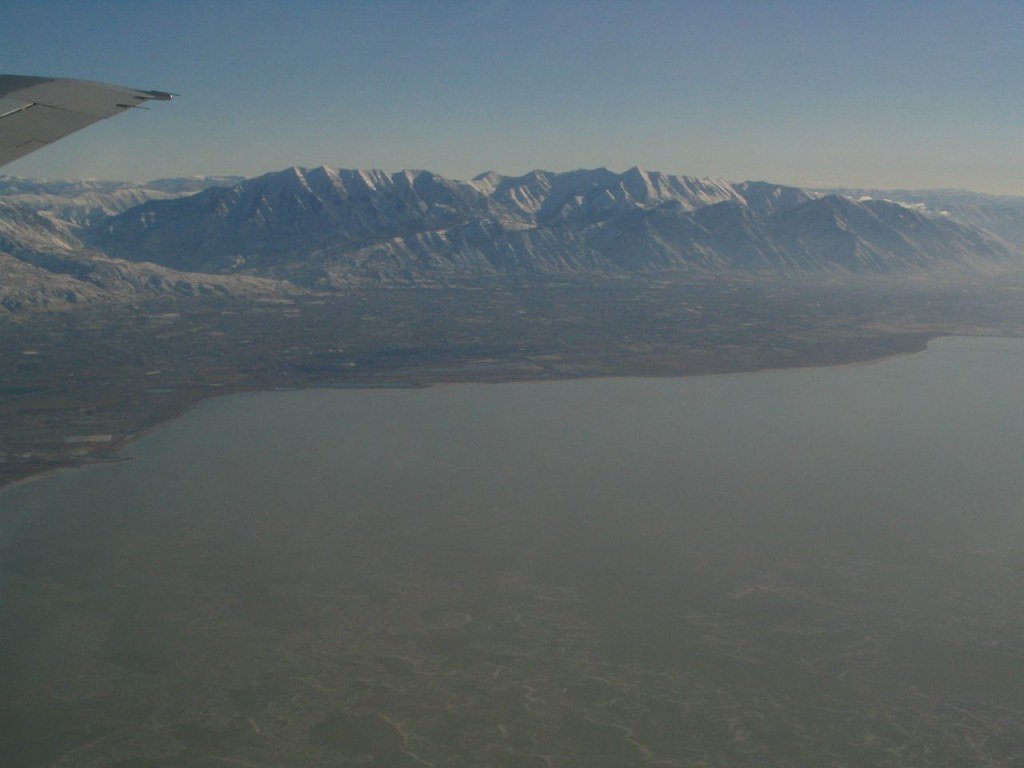
Explore Utah waters
Top paddling waters
Popular Cities
Loading popular cities...
Explore near Maple Lake

Smarter Paddling Starts in the App.
Paddleways gives you everything you need to plan smarter, paddle better, and own every trip from first launch to takeout.