Mona Reservoir
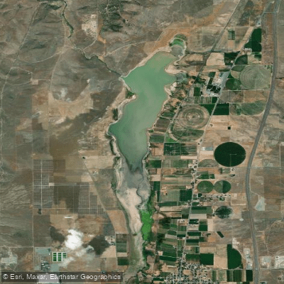
Mona Reservoir
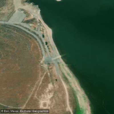
- Boat Ramps
- 1
- Access Points
- 1
- Campsites
- 0
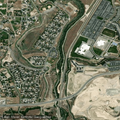
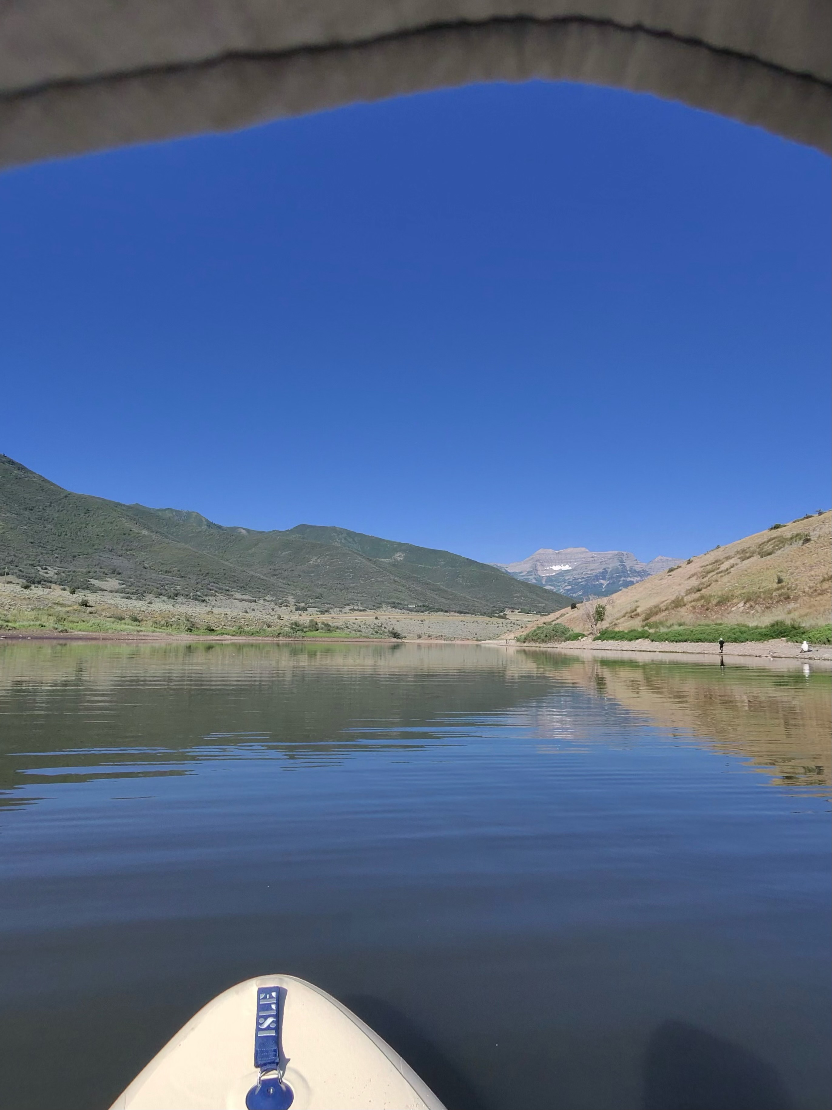
Mona Reservoir is a small lake located in central Utah, about 33 miles south of Provo. The reservoir offers opportunities for paddling, fishing, and other water activities. Walleye, wipers, chub, bullhead catfish and largemouth bass can be found in its waters. Access to the reservoir is available just north of the town of Mona, with the best access point near the dam.
Paddlers should be aware that Mona Reservoir is primarily used for irrigation and water levels can fluctuate significantly, especially in dry years. The reservoir may even dry up completely in extreme drought conditions. This variability in water levels means paddlers should check conditions before planning a trip.
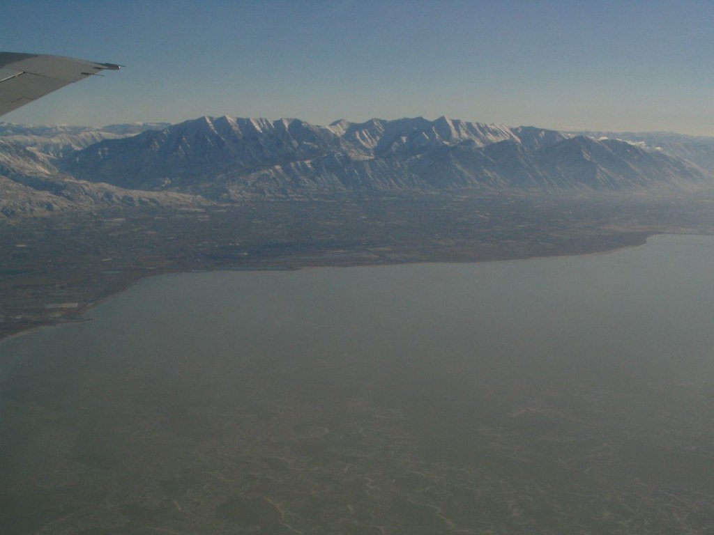
The surrounding landscape provides scenic views, with Mount Nebo visible in the background. Summer temperatures in the Mona area average around 90°F, making the cool waters an appealing respite from the heat. Fall brings pleasant temperatures and colorful foliage, offering another prime season for paddling.
Limited facilities are available at Mona Reservoir. There are no formal campgrounds, though some primitive camping may be possible. Much of the shoreline is privately owned, so paddlers should be mindful of access points and respect property boundaries.
Safety considerations include checking water levels before paddling and being prepared for potentially hot summer temperatures. No specific paddling restrictions were noted, but as an irrigation reservoir, motorized boats may also be present on the water.
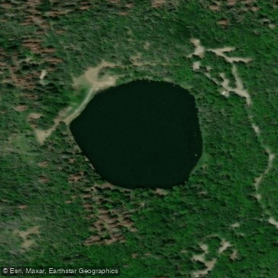
For those seeking a more secluded paddling experience, the Burraston Ponds just south of Mona Reservoir offer an alternative. These smaller ponds feature clear blue waters surrounded by trees and are popular for swimming and fishing as well.
Water access, boat ramps & amenities
Learn how to get on Mona Reservoir. Uncover great paddling access points, boat ramps, and all the facilities you need for an unforgettable day on the water. Some locations shown may border or include private property. Always check property boundaries and applicable regulations before visiting. PaddleWays's Public & Private Land layer can help you plan your access with confidence.
Paddle smarter with real-time insights
Whether you're en route and conditions shift or you're looking for the best spot based on current flows, we enable you to make informed decisions on the fly.








Find Places to Paddle

Over 400,000 Places to Paddle
Every user gets free access to launch points, boat ramps, and public property parcels.


Water and weather conditions (10 day forecast)
See the best times to paddle Mona Reservoir and check the forecast before you go.
No forecast data available.
Paddling near Mona Reservoir
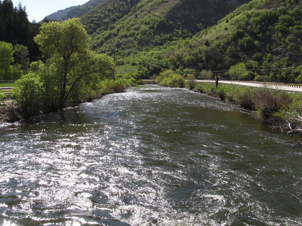
Explore Utah waters
Top paddling waters
Popular Cities
Loading popular cities...
Explore near Mona Reservoir

Smarter Paddling Starts in the App.
Paddleways gives you everything you need to plan smarter, paddle better, and own every trip from first launch to takeout.