Lake Gaston
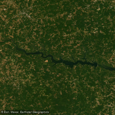
Lake Gaston
- Boat Ramps
- 7
- Access Points
- 9
- Campsites
- 6
Lake Gaston is a 20,000-acre reservoir straddling the North Carolina-Virginia border. With 350 miles of shoreline stretching over 34 miles, it offers ample opportunities for paddling. The lake's clear, clean waters are consistently rated as some of the best in the region.
Multiple access points are available, including River Street Park in Mt. Holly and nine public launches along the Catawba River Blueway section. The lake's wide, gentle waters make it suitable for paddlers of all skill levels. Coves and inlets provide calm areas for beginners or leisurely paddling.
Wildlife viewing is a highlight, with herons, osprey, and bald eagles nesting along the shoreline. Turtles can often be seen sunning themselves on logs. The lake supports a variety of fish species, including largemouth bass, striped bass, catfish, and crappie.
Lake Gaston offers year-round paddling, though summer is the busiest season. Water temperatures are warmest from June through August. Fall foliage viewing can be spectacular from the water.
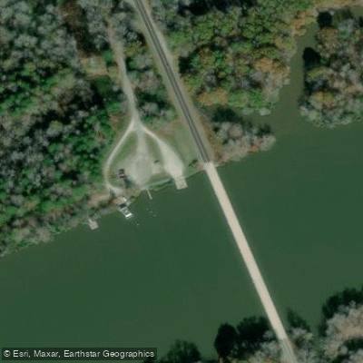
Facilities for paddlers include the Lake Gaston Day Use Area, which has a boat ramp, fishing pier, and public swimming area. Several marinas around the lake offer rentals and supplies.
When paddling Lake Gaston, be aware of motorized boat traffic, especially during peak summer months. There are no specific paddling restrictions, but all boaters should follow standard water safety practices. The lake's large size means conditions can vary, so check weather forecasts before heading out.
For a scenic day trip, paddle the Catawba River Blueway section, which follows 27 miles of shoreline from Mt. Holly to the North Carolina/South Carolina border. This route passes by over 300 miles of scenic shoreline.
Water access, boat ramps & amenities
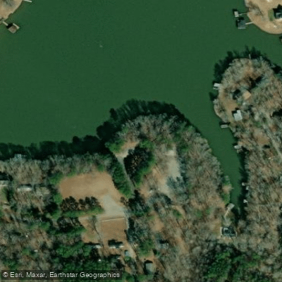
Learn how to get on Lake Gaston. Uncover great paddling access points, boat ramps, and all the facilities you need for an unforgettable day on the water. Some locations shown may border or include private property. Always check property boundaries and applicable regulations before visiting. PaddleWays's Public & Private Land layer can help you plan your access with confidence.
Paddle smarter with real-time insights
Whether you're en route and conditions shift or you're looking for the best spot based on current flows, we enable you to make informed decisions on the fly.








Find Places to Paddle

Over 400,000 Places to Paddle
Every user gets free access to launch points, boat ramps, and public property parcels.


Water and weather conditions (10 day forecast)
See the best times to paddle Lake Gaston and check the forecast before you go.
ROANOKE RIVER AT BUGGS ISLAND, VA
Paddling near Lake Gaston

Neuse River
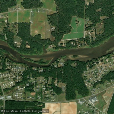
Tar River
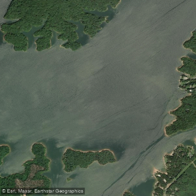
Roanoke River
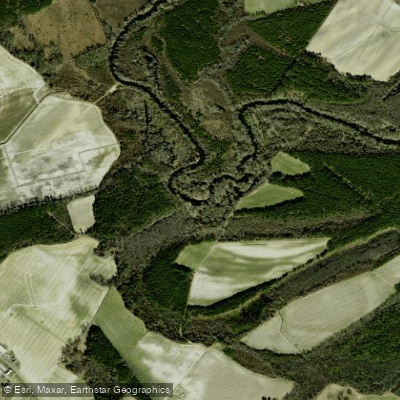
Contentnea Creek
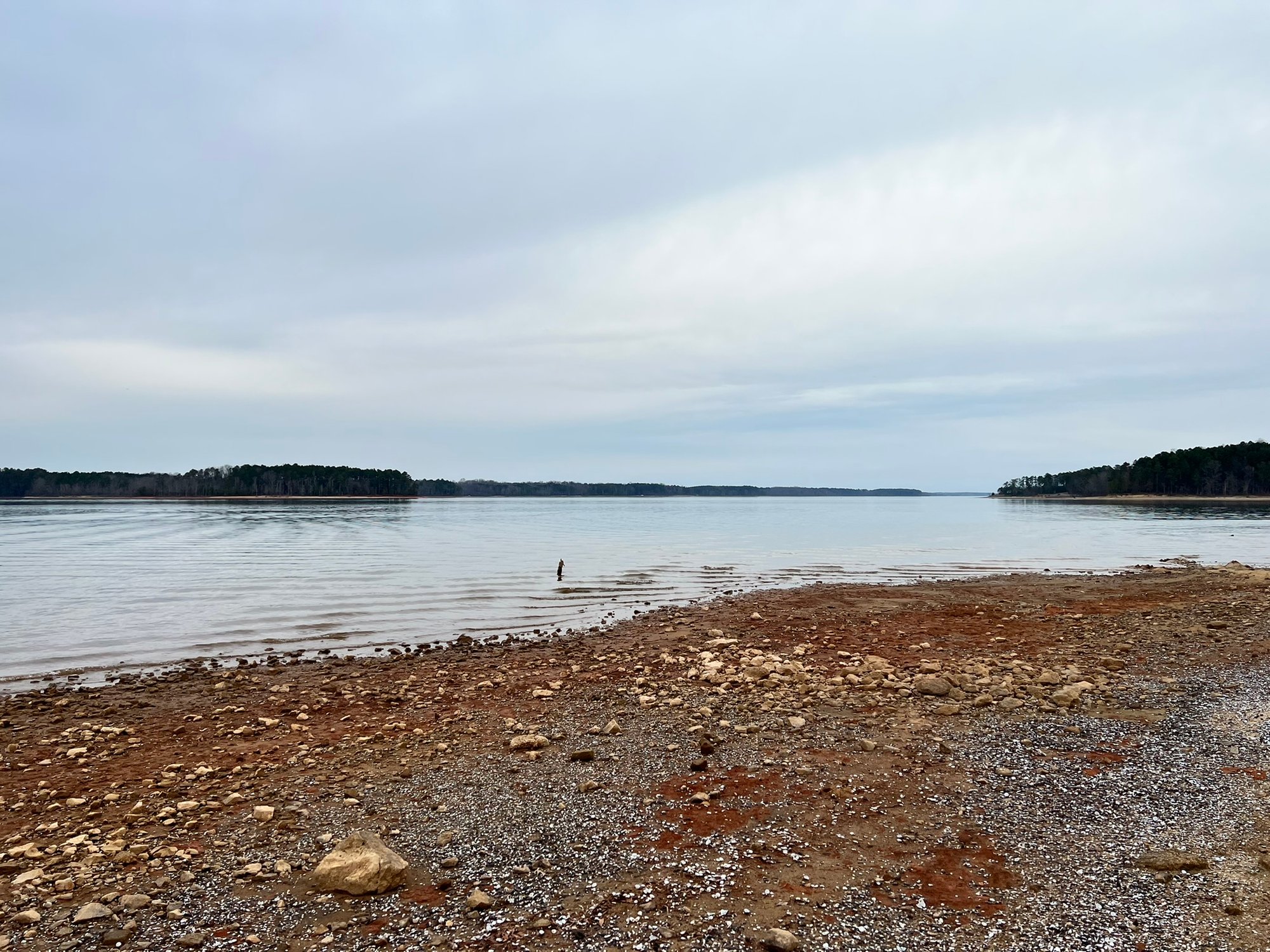
John H. Kerr Reservoir
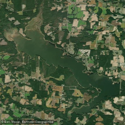
Buckhorn Reservoir
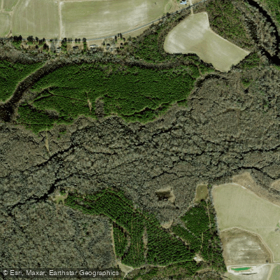
Tranters Creek
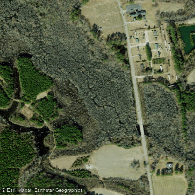
Cashie River
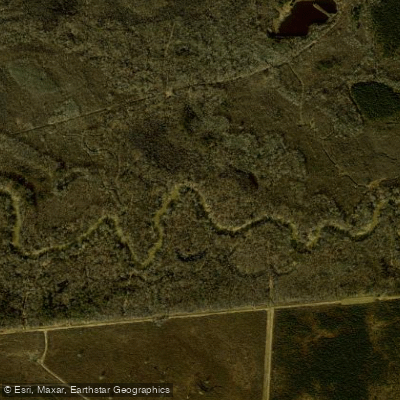
Meherrin River
Explore Virginia waters
Top paddling waters
Popular Cities
Loading popular cities...
Explore near Lake Gaston
Access points
Nearby waters
More in Virginia

Smarter Paddling Starts in the App.
Paddleways gives you everything you need to plan smarter, paddle better, and own every trip from first launch to takeout.