South Holston Lake
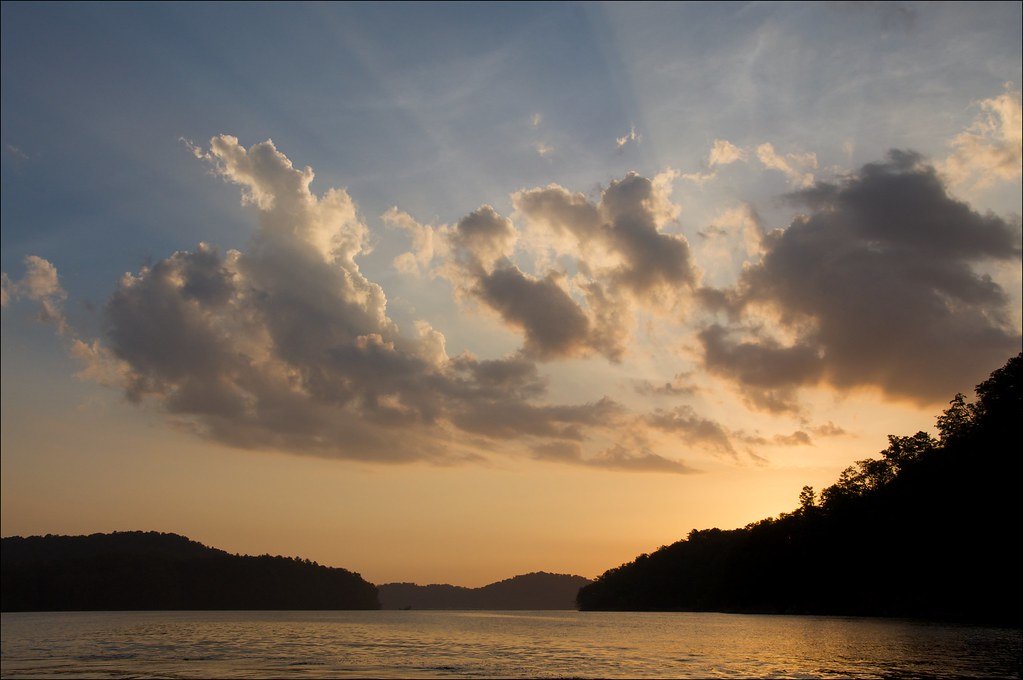
South Holston Lake
- Boat Ramps
- 14
- Access Points
- 19
- Campsites
- 4
South Holston Lake is a 7,850-acre reservoir straddling the Virginia-Tennessee border, offering paddlers a scenic mountain backdrop with nearly two-thirds of its 182-mile shoreline fringed by the Cherokee National Forest. The lake's sapphire waters and undeveloped landscape create a picturesque setting for kayaking, canoeing, and stand-up paddleboarding.
Several access points are available for paddlers, including Washington County Park in Abingdon, Virginia, and two public boat launches operated by the Virginia Department of Game and Inland Fisheries. Kayak and paddleboard rentals can be found at Sportsmans Marina in Abingdon.
The lake features numerous islands, secluded coves, and expansive stretches of forested shoreline to explore. Wildlife viewing opportunities abound, with paddlers potentially spotting wood ducks, green herons, bald eagles, northern water snakes, turtles, and muskrats.
For overnight trips, Jacob's Creek Recreation Area on the eastern shore offers 27 campsites and a family-friendly swimming area. Little Oak Campground, located on a point with several small coves, is another option but fills up quickly on weekends.
Fishing is popular on South Holston, with species including smallmouth bass, largemouth bass, walleye, crappie, and trout. Anglers should note that a special South Holston Fishing License is required ($21 annually) to fish across state lines.
Water clarity is typically greater than most Tennessee reservoirs, contributing to the lake's reputation for beauty. However, severe winter drawdowns can lower water levels up to 40 feet below summer pool, which paddlers should consider when planning trips.
While the lake offers tranquil paddling experiences, it's also open to powerboats. Paddlers should exercise caution, particularly in wider sections of the lake, and stay close to shore when possible to avoid boat traffic.
Water access, boat ramps & amenities
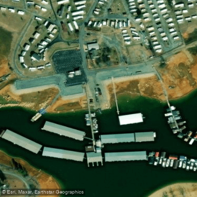
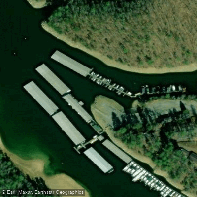
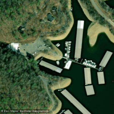
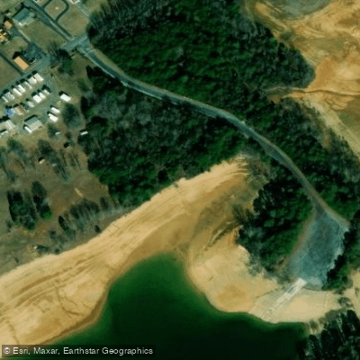
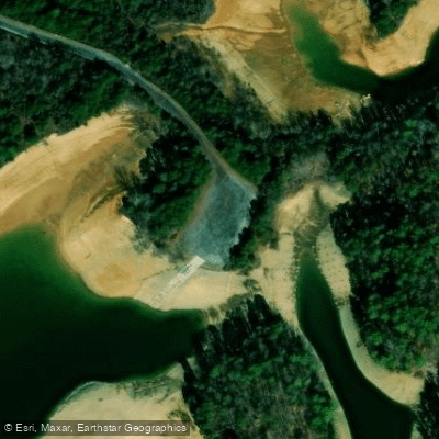
Learn how to get on South Holston Lake. Uncover great paddling access points, boat ramps, and all the facilities you need for an unforgettable day on the water. Some locations shown may border or include private property. Always check property boundaries and applicable regulations before visiting. PaddleWays's Public & Private Land layer can help you plan your access with confidence.
Paddle smarter with real-time insights
Whether you're en route and conditions shift or you're looking for the best spot based on current flows, we enable you to make informed decisions on the fly.








Find Places to Paddle

Over 400,000 Places to Paddle
Every user gets free access to launch points, boat ramps, and public property parcels.


Water and weather conditions (10 day forecast)
See the best times to paddle South Holston Lake and check the forecast before you go.
No forecast data available.
Paddling near South Holston Lake
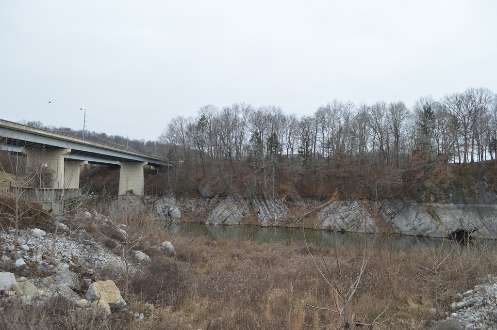
Boone Lake
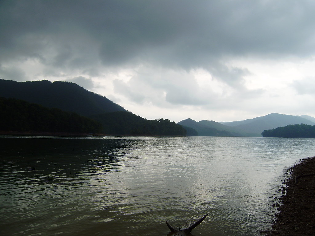
Watauga Lake
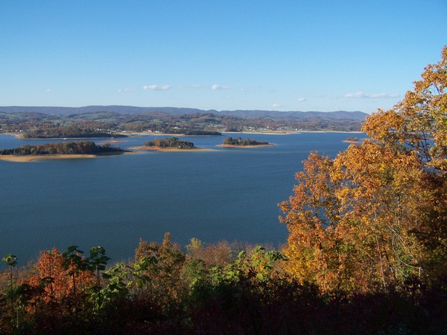
Cherokee Lake
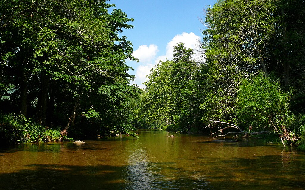
Watauga River
Holston River
Clinch River
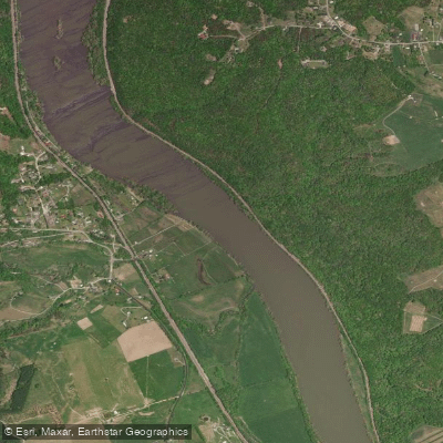
New River
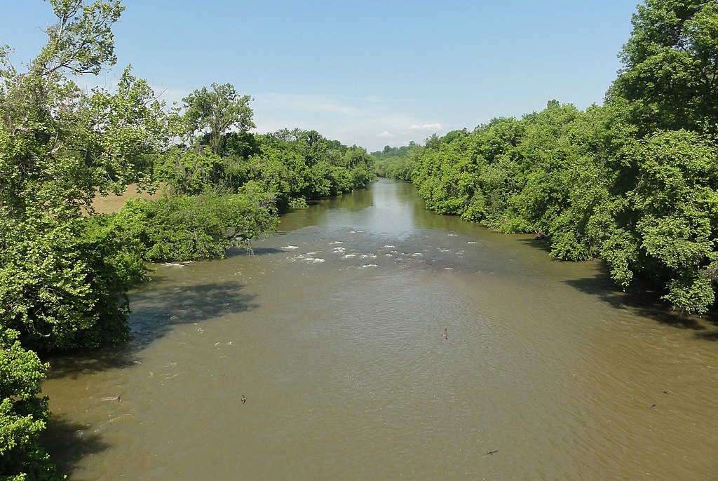
Yadkin River
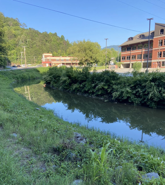
North Fork Kentucky River
Explore Virginia waters
Top paddling waters
Popular Cities
Loading popular cities...
Explore near South Holston Lake
Access points
Nearby waters
More in Virginia

Smarter Paddling Starts in the App.
Paddleways gives you everything you need to plan smarter, paddle better, and own every trip from first launch to takeout.