John H. Kerr Reservoir
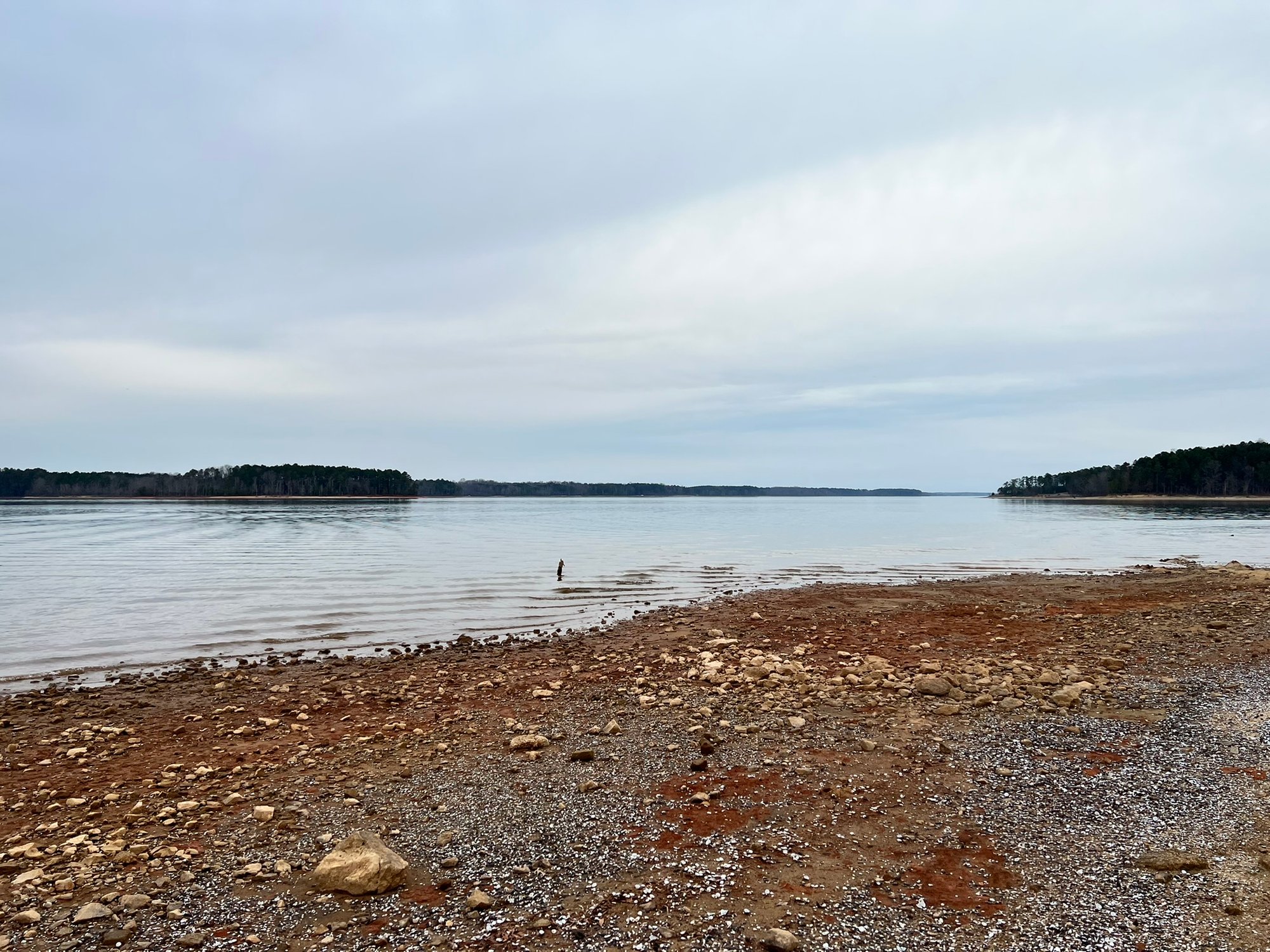
John H. Kerr Reservoir
- Boat Ramps
- 25
- Access Points
- 31
- Campsites
- 16
John H. Kerr Reservoir, also known as Kerr Lake or Buggs Island Lake, is a massive 50,000-acre lake straddling the Virginia-North Carolina border. With 800 miles of shoreline, it offers paddlers nearly endless opportunities for exploration. The lake features numerous coves, creeks, and inlets surrounded by hardwood forests.
Occoneechee State Park in Clarksville, VA provides an excellent access point for paddlers, with three boat launches and kayak rentals available. For a calm paddling experience, launch from the main boat ramp and head right to reach a narrow, scenic cove lined with buttonbush. This area offers opportunities to spot bald eagles, ospreys, and great blue herons.
The lake is known for its fishing, with species like striped bass, largemouth bass, crappie, and catfish. Anglers should be aware of state fishing regulations, as the lake spans two states. Water activities like motorboating, sailing, and jet-skiing are popular, so paddlers should remain alert to other watercraft.
Numerous campgrounds operated by state parks and the Army Corps of Engineers surround the lake, ranging from primitive sites to RV hookups. Some lakeside cabins and campsites offer private water access. The Carolina Sailing Club hosts monthly regattas from April through October, which may impact paddling in certain areas.
While specific paddling regulations are not mentioned, the lake is managed by the U.S. Army Corps of Engineers, so standard federal waterway rules likely apply. Paddlers should check with local authorities for any specific restrictions or safety guidelines before embarking on their trip.
Water access, boat ramps & amenities
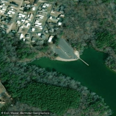
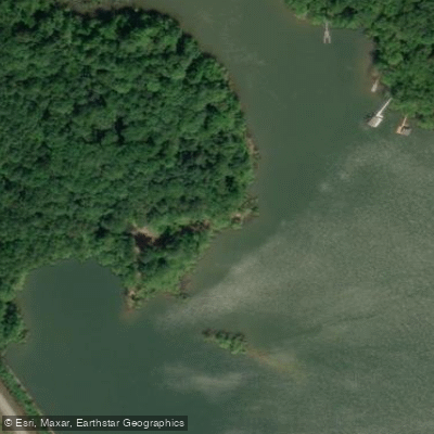
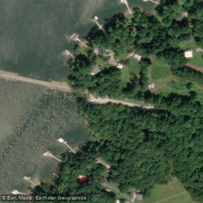
Learn how to get on John H. Kerr Reservoir. Uncover great paddling access points, boat ramps, and all the facilities you need for an unforgettable day on the water. Some locations shown may border or include private property. Always check property boundaries and applicable regulations before visiting. PaddleWays's Public & Private Land layer can help you plan your access with confidence.
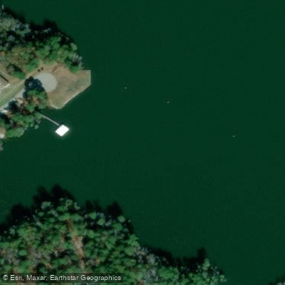
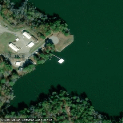
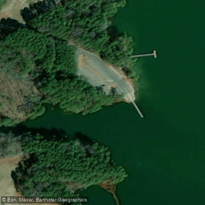
Paddle smarter with real-time insights
Whether you're en route and conditions shift or you're looking for the best spot based on current flows, we enable you to make informed decisions on the fly.








Find Places to Paddle

Over 400,000 Places to Paddle
Every user gets free access to launch points, boat ramps, and public property parcels.


Water and weather conditions (10 day forecast)
See the best times to paddle John H. Kerr Reservoir and check the forecast before you go.
No forecast data available.
Paddling near John H. Kerr Reservoir

Neuse River
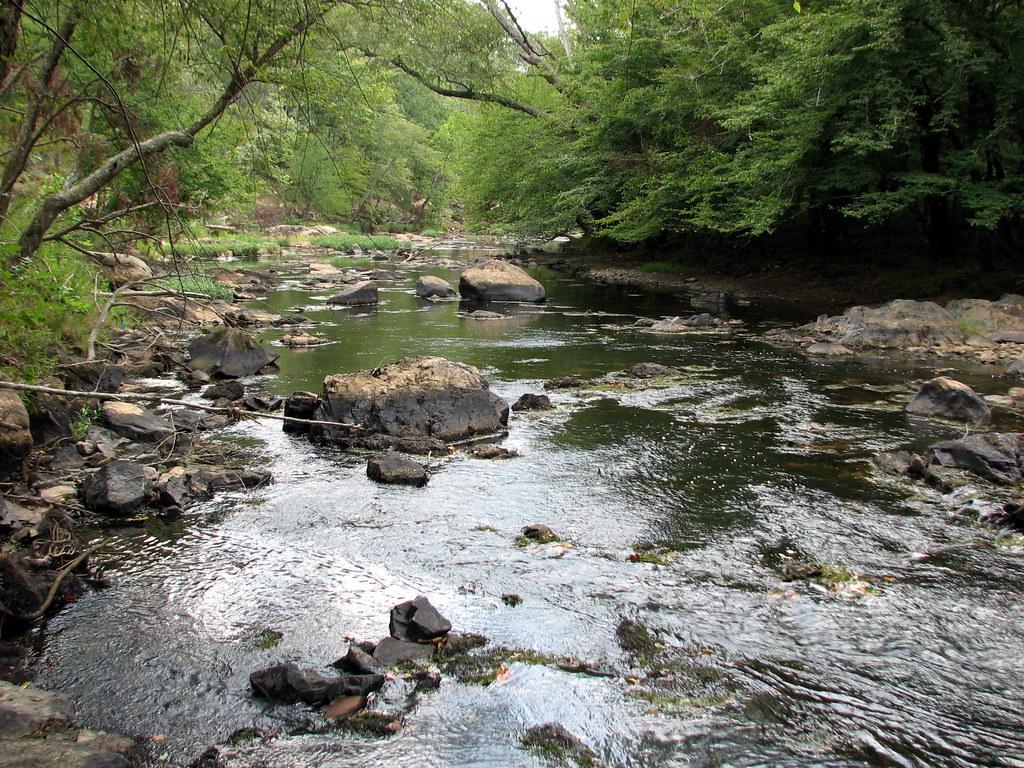
Eno River
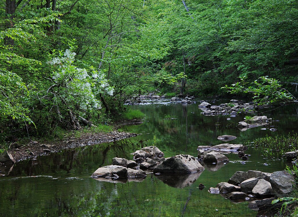
New Hope Creek
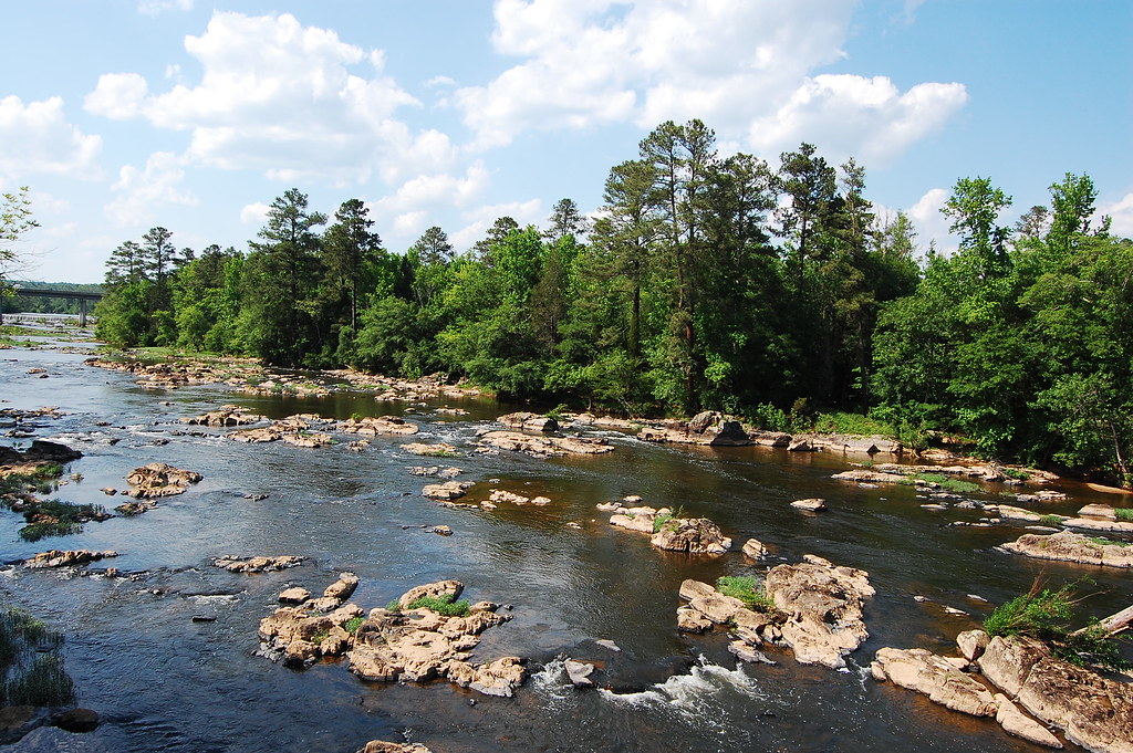
Haw River
Tar River
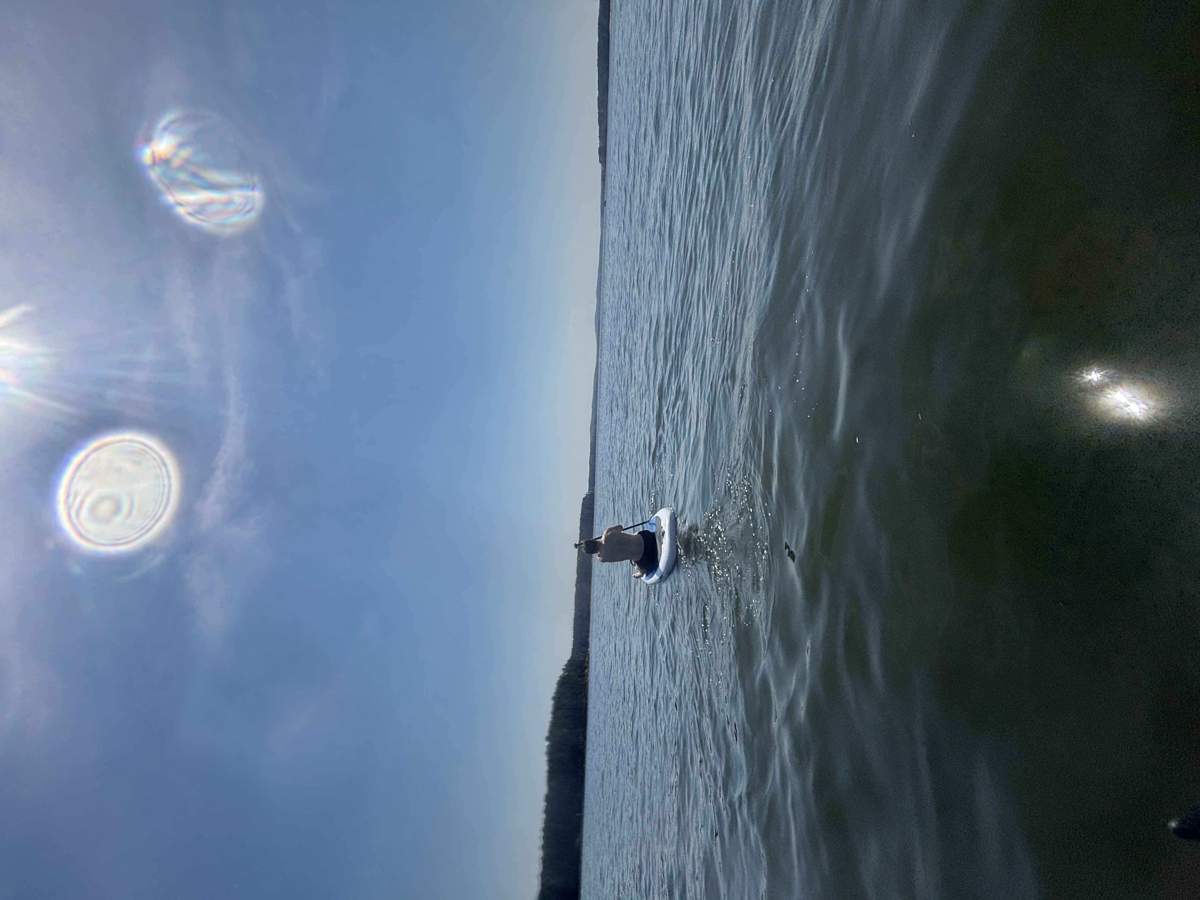
B Everett Jordan Lake
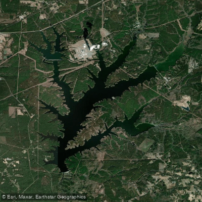
Shearon Harris Reservoir
Lake Gaston
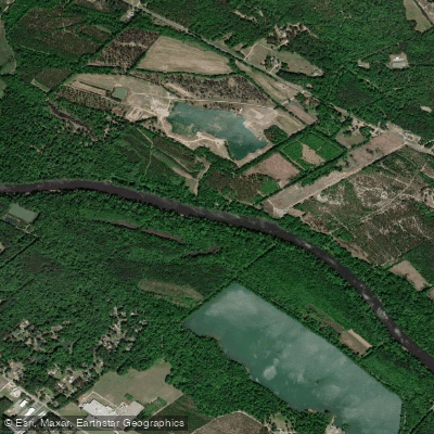
Cape Fear River
Explore Virginia waters
Top paddling waters
Popular Cities
Loading popular cities...
Explore near John H. Kerr Reservoir
Access points
Nearby waters
More in Virginia

Smarter Paddling Starts in the App.
Paddleways gives you everything you need to plan smarter, paddle better, and own every trip from first launch to takeout.