Claytor Lake
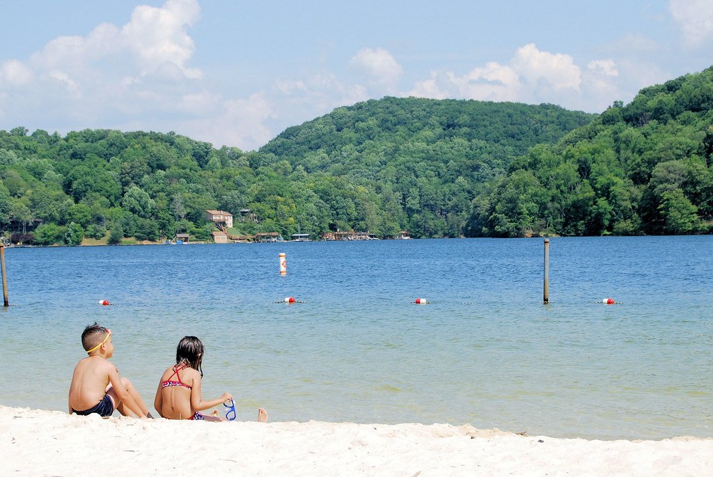
Claytor Lake
- Boat Ramps
- 2
- Access Points
- 4
- Campsites
- 8
Claytor Lake is a 4,500-acre reservoir located in southwest Virginia, offering 21 miles of scenic paddling opportunities. The lake was formed in 1939 when the New River was dammed, creating a long, winding body of water with numerous coves and inlets to explore. Paddlers can enjoy views of tree-covered hills and rocky cliffs along the shoreline.
Access is available at several locations, including Claytor Lake State Park on the north shore. The park provides boat rentals, including canoes and kayaks, as well as a boat launch ramp. Overnight dock rentals are available for boats up to 24 feet long.
The lake is generally calm, making it suitable for paddlers of all skill levels. However, be aware that motorboats are permitted on most of the lake. Paddlers should stay close to shore and be vigilant, especially on busy summer weekends. Swimming is only allowed in designated beach areas.
Wildlife viewing opportunities abound, with chances to spot waterfowl, deer, and various bird species. The lake supports diverse fish populations, including bass, catfish, and walleye. Fishing is permitted throughout the lake except in the beach and cabin areas.
Claytor Lake State Park offers additional amenities for paddlers, including picnic areas, campgrounds, and cabins. The park has several hiking trails that provide scenic views of the lake. The historic Howe House in the park serves as a visitor center with exhibits on lake ecology.
Water temperatures are typically comfortable for paddling from late spring through early fall. The lake does not freeze in winter, allowing for year-round paddling. Water levels may be lowered in November for maintenance, potentially impacting boat launches.
Paddlers should be aware of and remove any plant debris or invasive species from boats and gear before entering the lake to protect native ecosystems. Overall, Claytor Lake offers a picturesque paddling experience with ample opportunities for exploration, fishing, and enjoying the natural beauty of Virginia's Blue Ridge region.
Water access, boat ramps & amenities
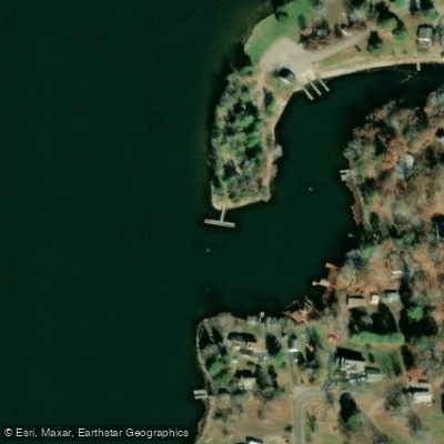
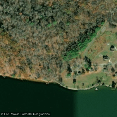
Learn how to get on Claytor Lake. Uncover great paddling access points, boat ramps, and all the facilities you need for an unforgettable day on the water. Some locations shown may border or include private property. Always check property boundaries and applicable regulations before visiting. PaddleWays's Public & Private Land layer can help you plan your access with confidence.
Paddle smarter with real-time insights
Whether you're en route and conditions shift or you're looking for the best spot based on current flows, we enable you to make informed decisions on the fly.








Find Places to Paddle

Over 400,000 Places to Paddle
Every user gets free access to launch points, boat ramps, and public property parcels.


Water and weather conditions (10 day forecast)
See the best times to paddle Claytor Lake and check the forecast before you go.
No forecast data available.
Paddling near Claytor Lake
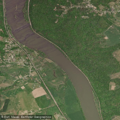
New River
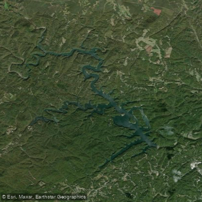
Philpott Lake
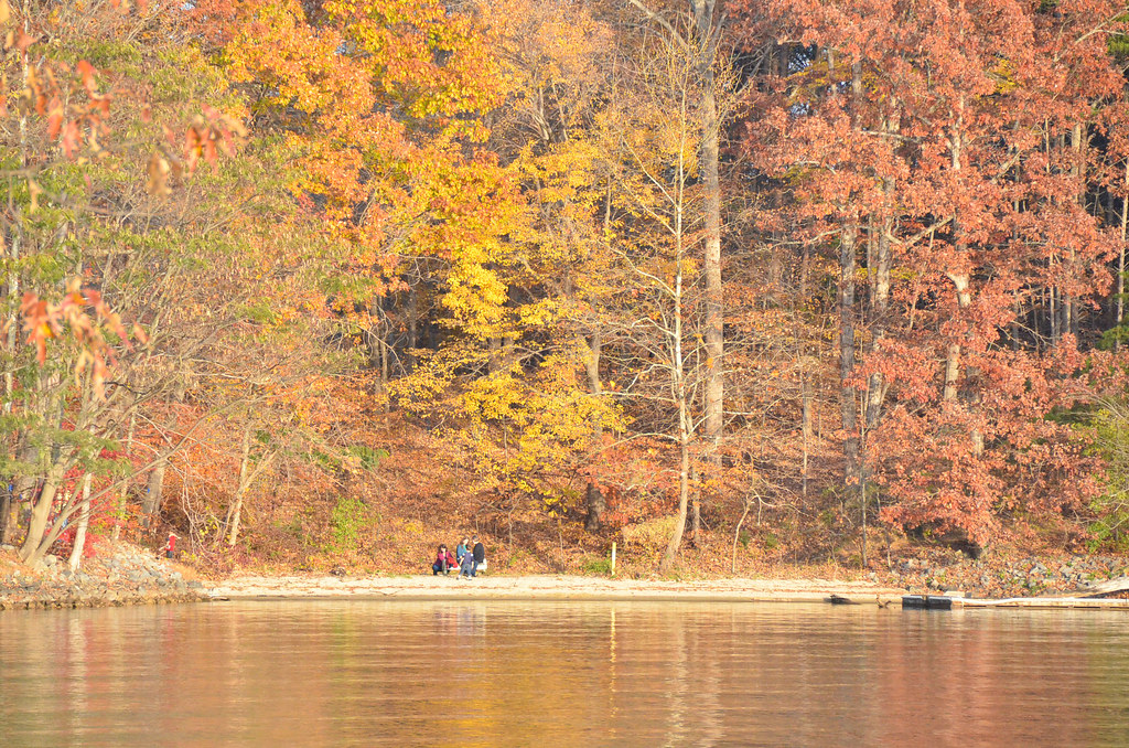
Smith Mountain Lake
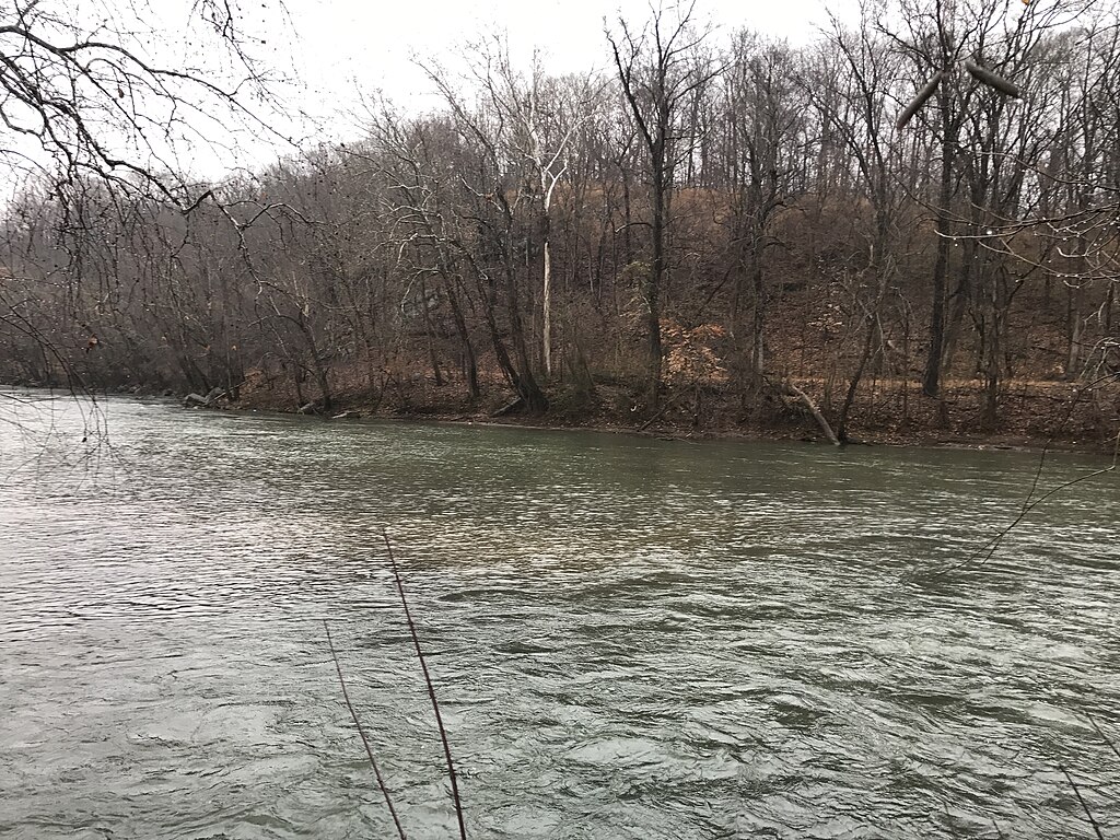
Smith River

James River
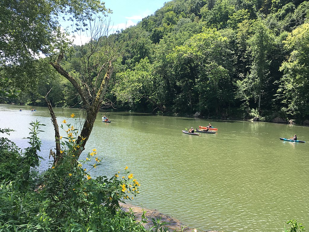
Greenbrier River
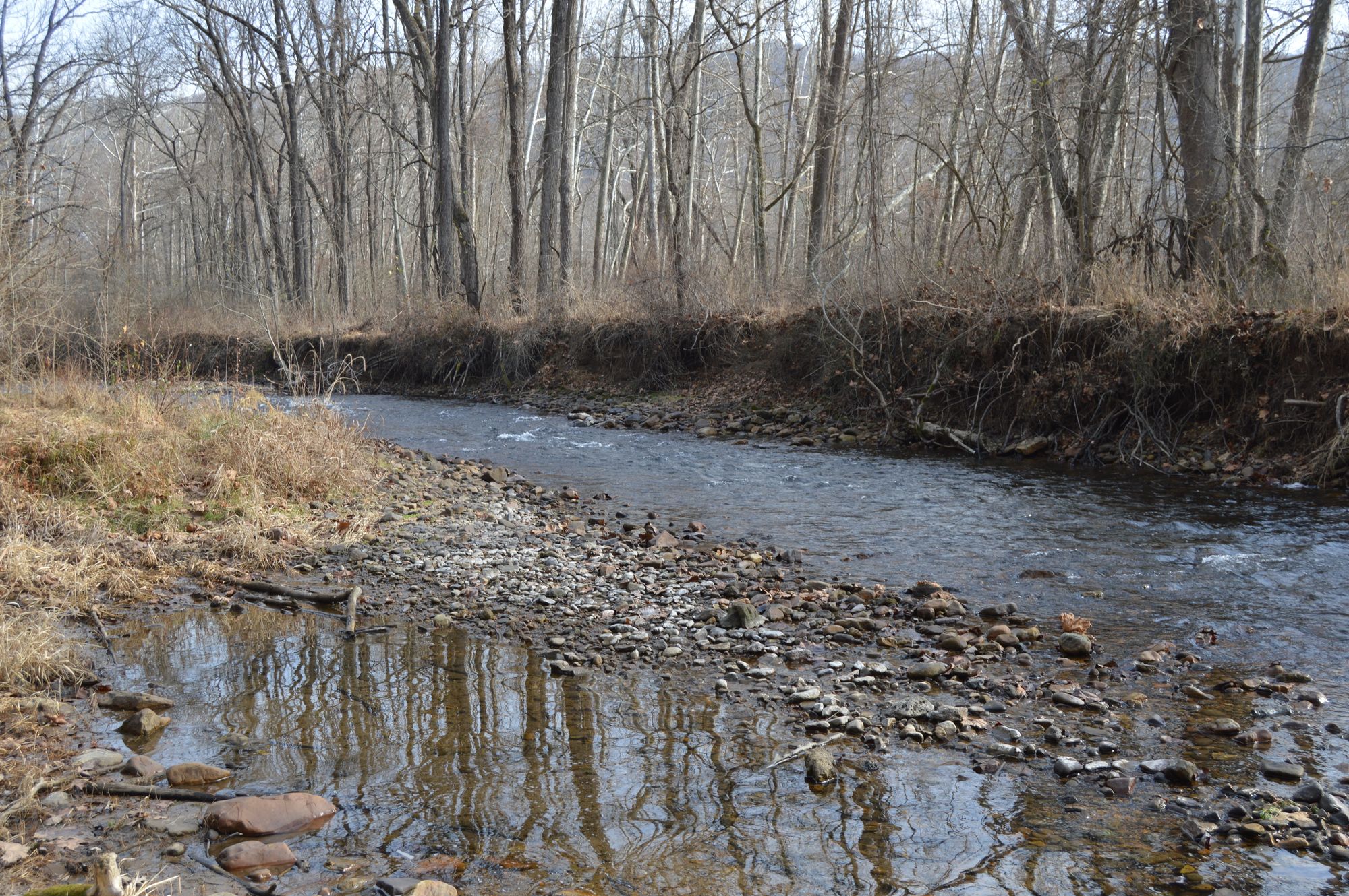
Jackson River
Roanoke River
Craig Creek
Explore Virginia waters
Top paddling waters
Popular Cities
Loading popular cities...
Explore near Claytor Lake
Access points
Nearby waters
More in Virginia

Smarter Paddling Starts in the App.
Paddleways gives you everything you need to plan smarter, paddle better, and own every trip from first launch to takeout.