Curated by PaddleWays
Route
- Distance
- 2.3 mi
- Paddle time
- ~1 hr
- Put-in & take-out
- Owls Creek Municipal Boat Ramp
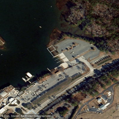
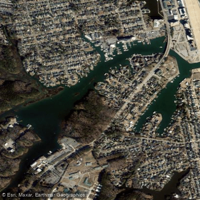
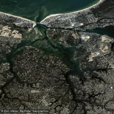
Rudee Inlet is a sheltered tidal inlet connecting directly to the Atlantic Ocean in Virginia Beach, Virginia. The primary launch point for paddlers is the Owl Creek Boat Ramp, located at 717 General Booth Boulevard next to the Virginia Aquarium. This public facility offers four concrete launch lanes with temporary mooring areas and free parking. The launch provides direct access to the inlet via Owl Creek. The inlet itself is a relatively compact, protected waterway with a brackish, tidal flow. Paddling conditions are generally calm and forgiving, suitable for beginners, with significantly reduced wind and wave action compared to the open ocean. The primary dynamic is the tidal movement, with water levels rising and falling roughly two feet. For the easiest paddling, plan your trip around slack tide, which occurs roughly two hours after high or low water. From the launch, paddlers can explore upstream into the narrower, marsh-lined creek or venture south toward the inlet's mouth and the Atlantic Ocean. The route to the ocean is about half a mile or more from the boat launch, leading to a jetty and open water. This ocean access is weather and wave-dependent, and the inlet sees recreational boat traffic, requiring paddlers to be alert, especially near the channel. The surrounding environment features natural shorelines and marshes, offering opportunities to see wildlife such as bottlenose dolphins, bald eagles, herons, egrets, and osprey. The area is best visited in spring, summer, and fall. Amenities at the launch include a boat ramp, parking, and ADA accessibility. Several local outfitters operate guided kayak and stand-up paddleboard tours and rentals from this location.
Curated routes
Hand-picked by the PaddleWays team, with put-ins, take-outs, paddle times and the hazards along the way.
Route
Hazards
No hazards are marked on Rudee Inlet yet. That is not the same as none being there: if you find one, report it for the next paddler.
From the community
Real trips from PaddleWays paddlers: which route they ran, how the water was, and what to watch for.
Loading trip reports
Una B.
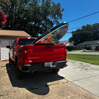
Owls Creek SUP Meetup• Tidal estuary
Owls Creek SUP Meetup
Where to get on and off Rudee Inlet: launch points, boat ramps and bridges.
On open water, wind and tide matter as much as the weather. See the best times to paddle Rudee Inlet and check the marine forecast before you launch.
Loading tide predictions…
Live flows, marked hazards and fresh trip reports from paddlers who were just on the water, all in one place.





Every user gets free access to launch points, boat ramps, and public property parcels.
Loading popular cities...
PaddleWays gives you everything you need to plan smarter, paddle better, and own every trip from first launch to takeout.