Curated by PaddleWays
RouteClass II–III
- Distance
- 7.6 mi
- Paddle time
- ~2 hrs
- Best for
- Intermediate paddlers
- Put-in → take-out
- Chapman Access → Bremer Access
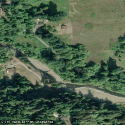
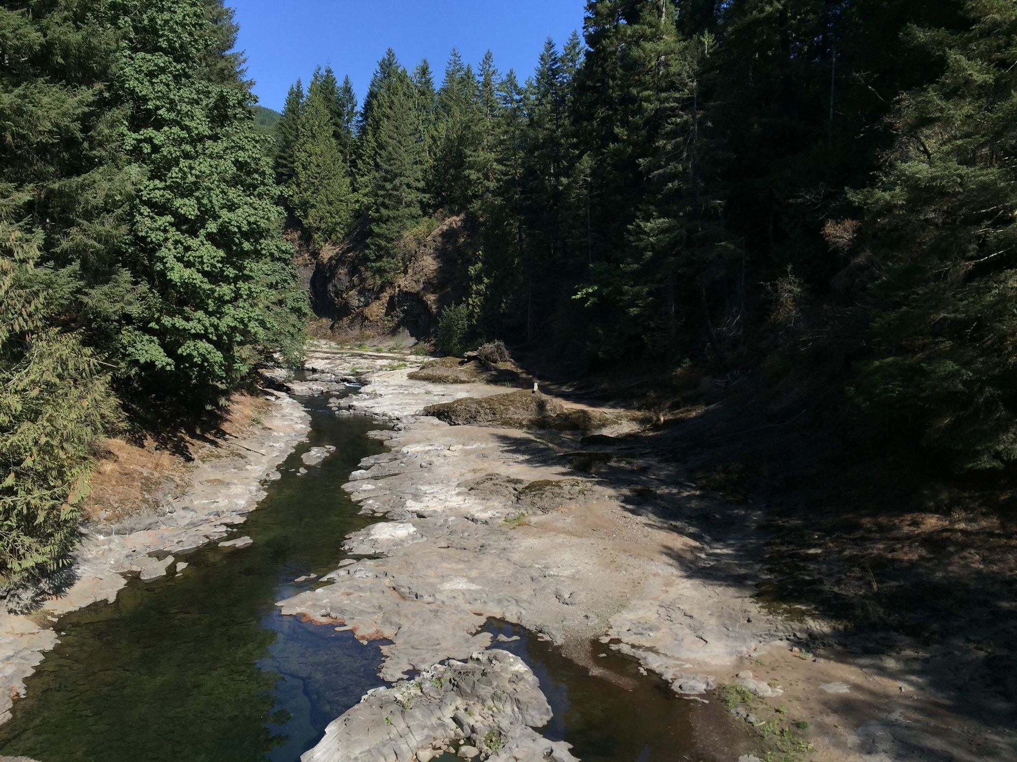
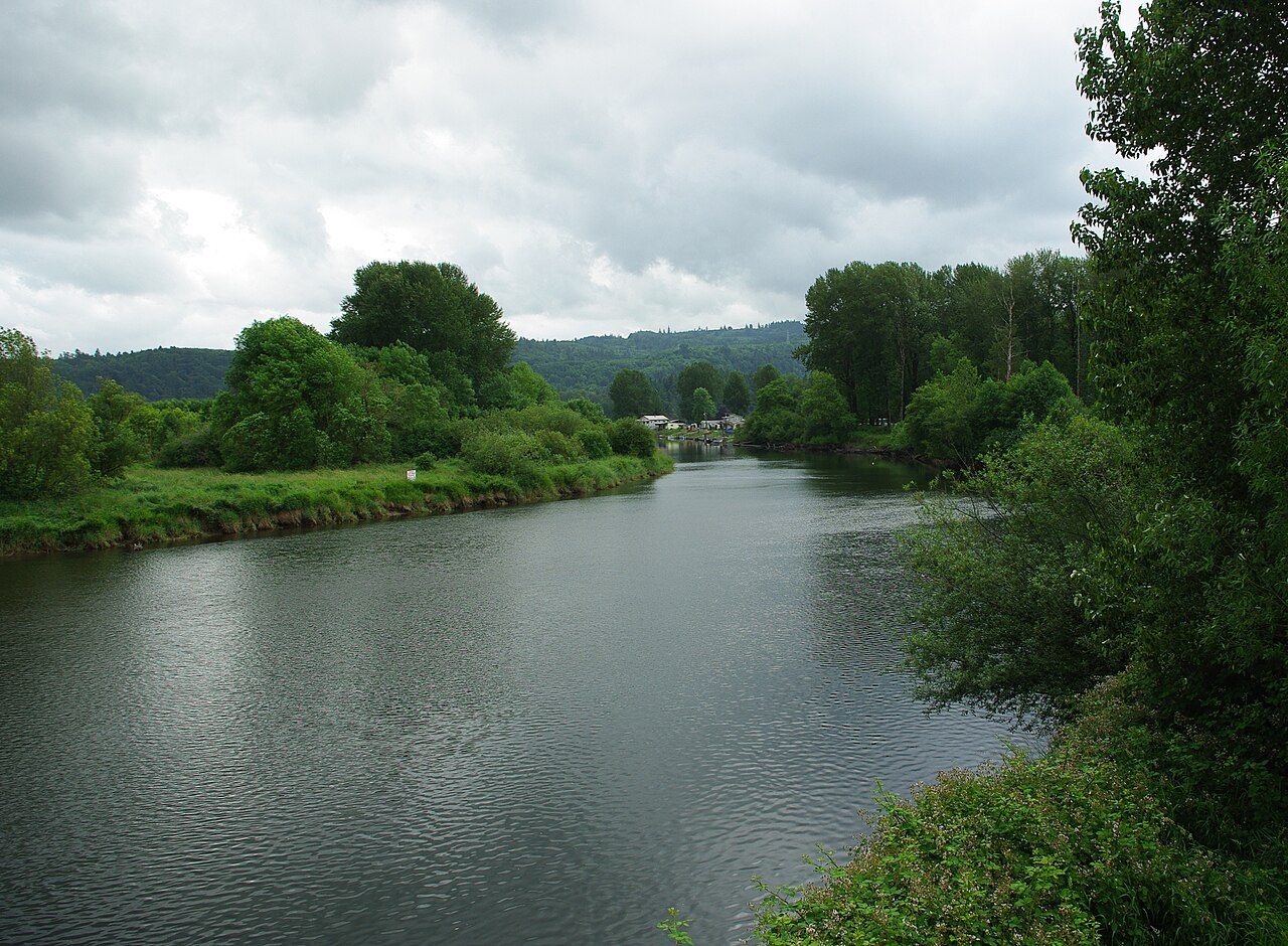
The Tilton River is a vibrant waterway in southwest Washington state, originating in the Cascade Mountains and flowing westward to join the Cowlitz River. This dynamic river system drains a significant portion of eastern Lewis County, with its confluence located near the town of Mayfield.
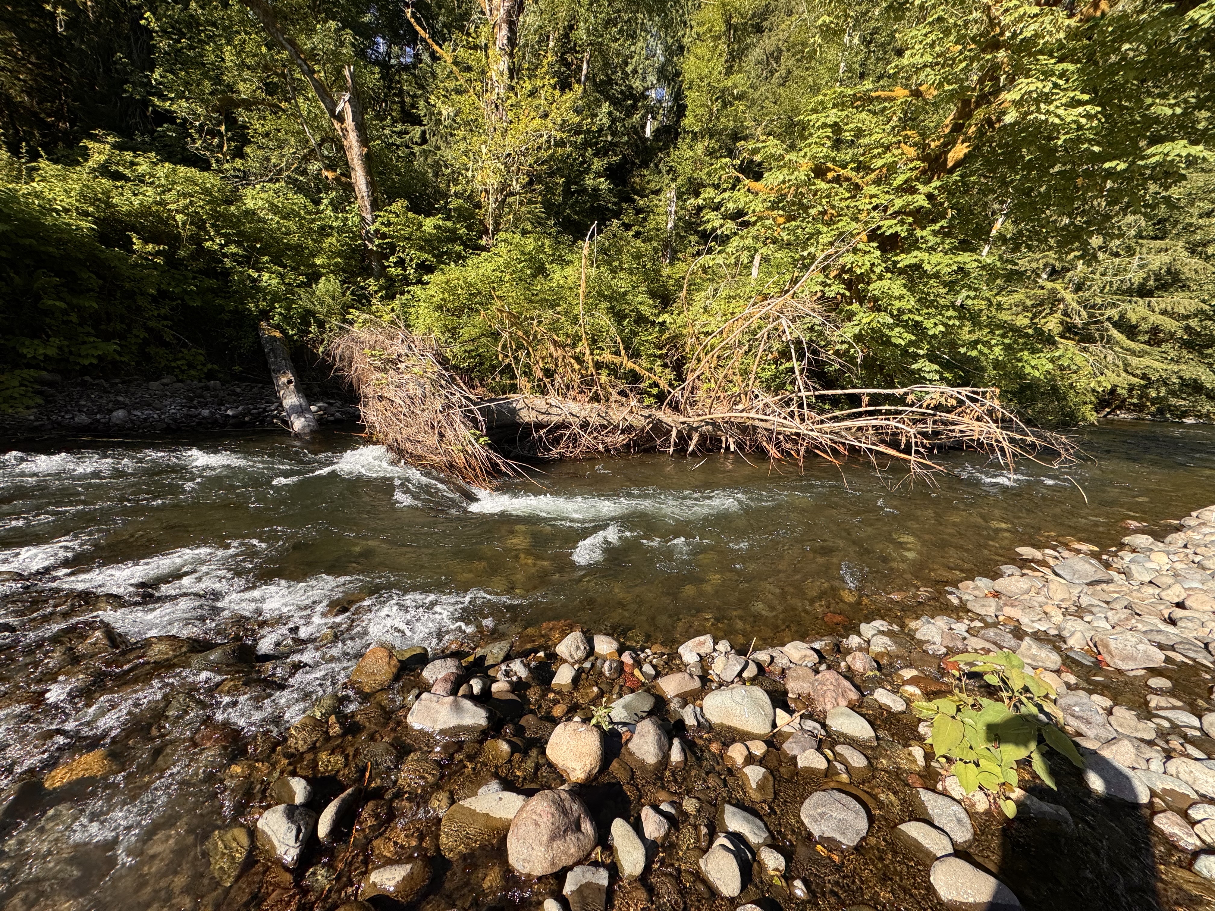
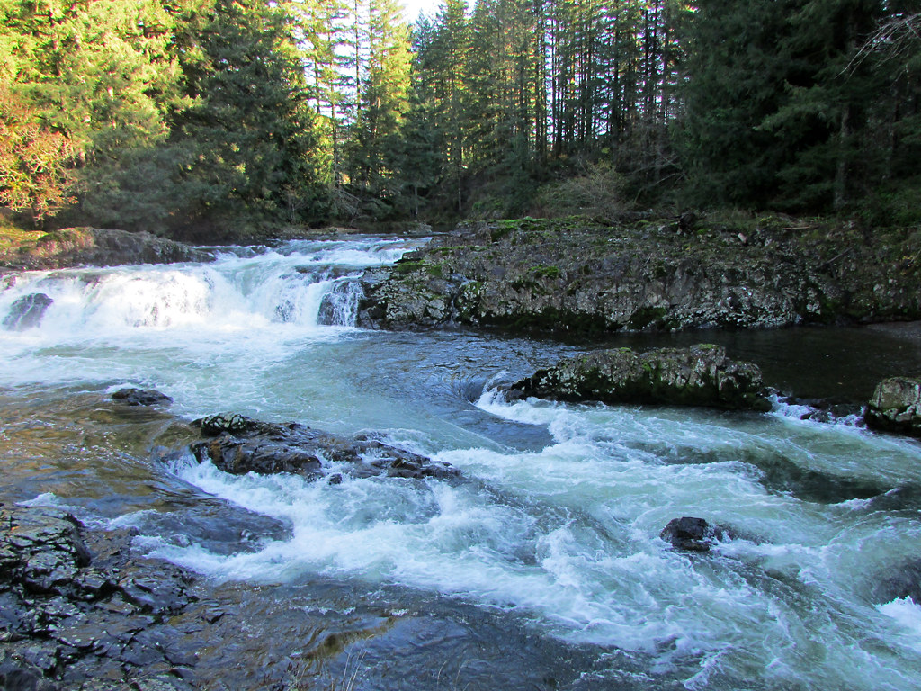
The Tilton offers a diverse range of paddling experiences across its various sections. The upper reaches from Morton to Bremer present an 8.5-mile stretch of Class II-III whitewater, ideal for intermediate paddlers. Here, the river's character changes dramatically halfway through when the North Fork Tilton joins, significantly increasing water volume and rapid intensity.
Further downstream, the Lower Tilton River delivers an exhilarating 1.7-mile Class IV run through a narrow canyon. This section, from Aaron's Beach to Scary Gary rapid, features notable Class IV rapids like Leap of Faith and requires advanced whitewater skills to navigate safely.
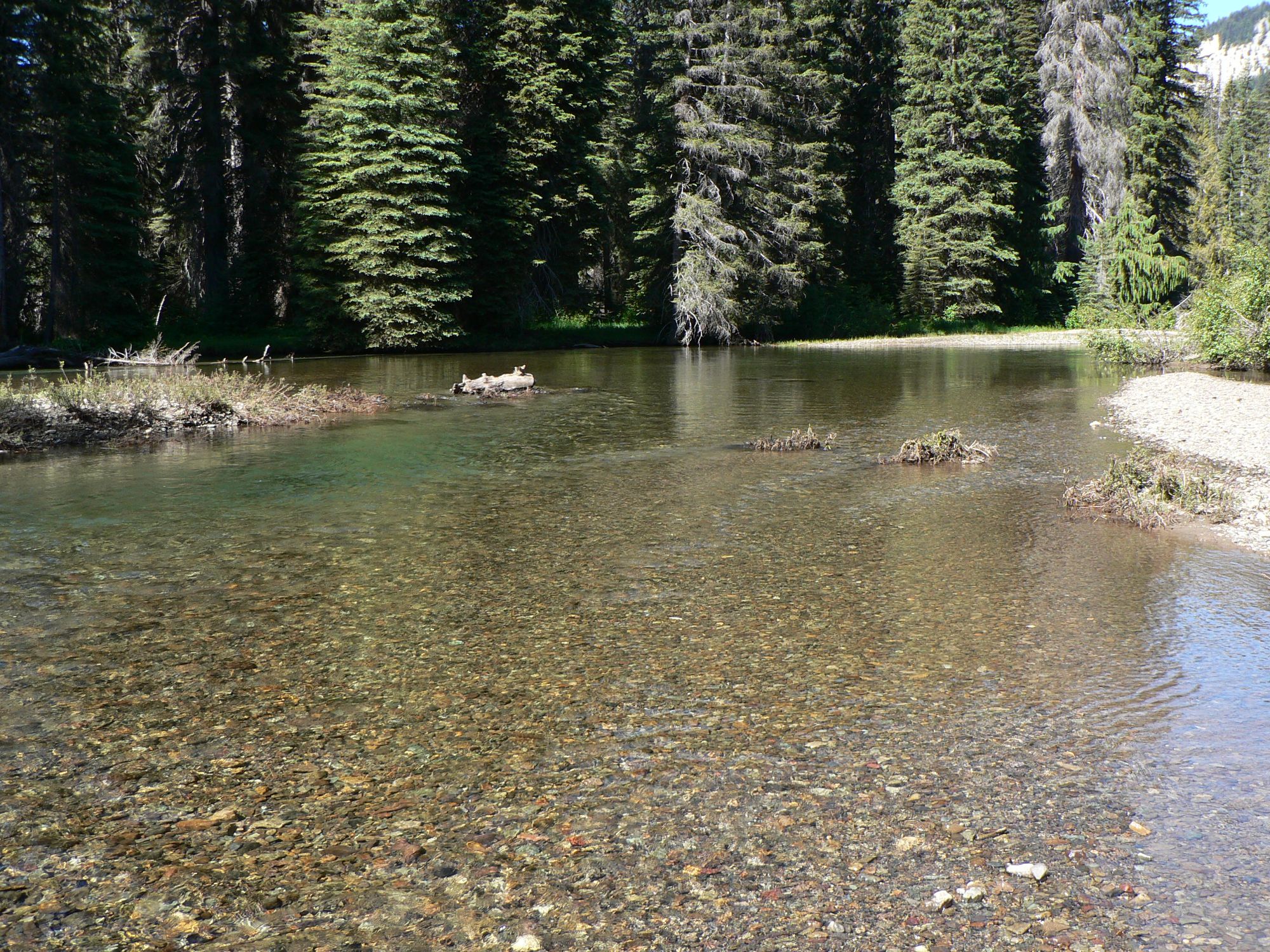
For those seeking a more tranquil experience, the Tilton River Canyon section near Packwood offers a scenic flatwater paddle suitable for beginners and families. This out-and-back route provides stunning views of the surrounding landscape with minimal current.
The North Fork Tilton contributes its own 2.5-mile Class IV segment, joining the main stem about halfway between Morton and Bremer. This challenging run features technical rapids and a picturesque side canyon where Tumble Creek joins the flow.
Seasonal rainfall and snowmelt typically make spring and early summer the optimal times for whitewater enthusiasts, while the gentler canyon section remains accessible year-round. The river's surroundings showcase the rich biodiversity of the Pacific Northwest, with dense forests lining its banks and the potential for wildlife sightings.
Key access points include Morton, Bremer, and locations near Mayfield Lake, with the nearby towns of Mossyrock and Randle serving as convenient basecamps for multi-day adventures. Paddlers should be aware of potential hazards like logjams and fluctuating water levels, especially in the more technical sections.
The Tilton River's varied character, from placid flatwater to challenging rapids, coupled with its scenic beauty, makes it a treasured resource for Washington's paddling community and a vital component of the region's outdoor recreation opportunities.
Curated routes
Hand-picked by the PaddleWays team, with put-ins, take-outs, paddle times and the hazards along the way.
RouteClass II–III
Hazards
No paddler has reported a hazard here yet, so these are the dams, falls and big rapids on our map. Hazards change with flows and storms, so check them before you launch.
From the community
Nobody has shared a trip on Tilton River yet. Paddle it, then tell the next paddler how it went.
See exactly where the public can get on and off the river. Launch points and boat ramps are paired with PaddleWays' public land data so you know where you can legally land.
Public shoreline
26%of the river's shoreline is public
Most of the riverbank is private. Launch, land and camp only at public access points.
Flows, weather and a route-by-route verdict, so you know which stretch of the Tilton River is worth paddling today.
Live flows, marked hazards and fresh trip reports from paddlers who were just on the water, all in one place.





Every user gets free access to launch points, boat ramps, and public property parcels.
Loading popular cities...
PaddleWays gives you everything you need to plan smarter, paddle better, and own every trip from first launch to takeout.