Swallow Rock Trailhead Access
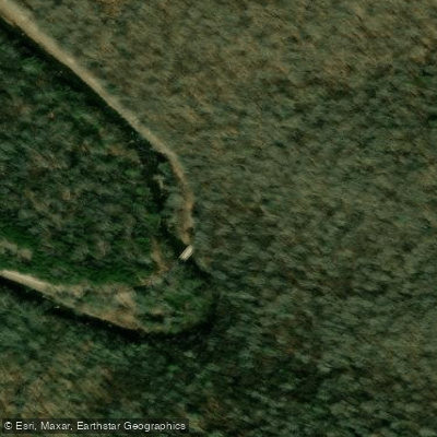
Swallow Rock Trailhead Access
Swallow Rock Trailhead provides access to Forest Trail 529, a 3-mile point-to-point hiking trail that follows Swallow Rock Run up the west side of Allegheny Mountain and descends via an unnamed stream to Seneca Creek. The trailhead is located 4.
3 miles south of Whitmer on Whitmer Road and passes through open forest of maple, birch, beech, and cherry trees; hikers must ford Seneca Creek to reach connecting trails. Bring drinking water and treat stream water before drinking.
Nearby points of interest
Find excellent paddling spots, easy access to boat ramps, and all the amenities you need for a memorable day. Your adventure starts here.

Allegheny Mtn and Big Run Trailhead Access
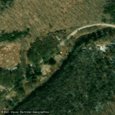
Bee Run Trailhead Access
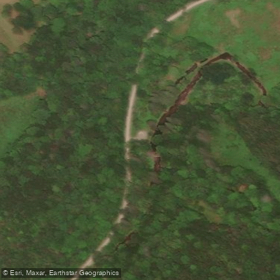
Big Run (Of Gandy) Trailhead Access
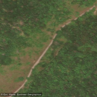
Dry Fork Road Access
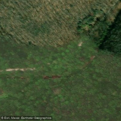
Elza Run Trailhead Access
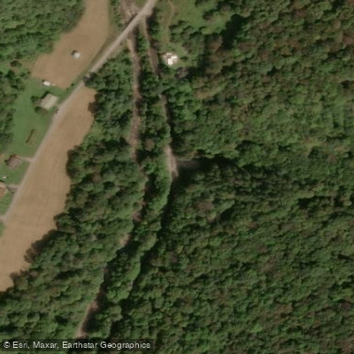
Horton Trail Access

Leading Ridge Trailhead Access
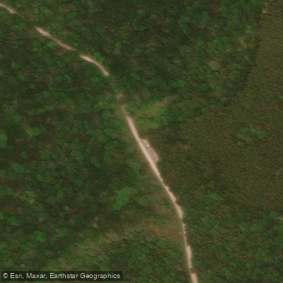
Seneca Creek Trail Upstream Access

Spring Ridge Trail Access
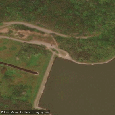
Spruce Knob Lake Access
Water and weather conditions (10 day forecast)
Check the forecast at Swallow Rock Trailhead Access before you go paddling.
No forecast data available.
Paddling near Swallow Rock Trailhead Access
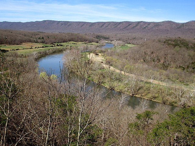
South Fork Shenandoah River
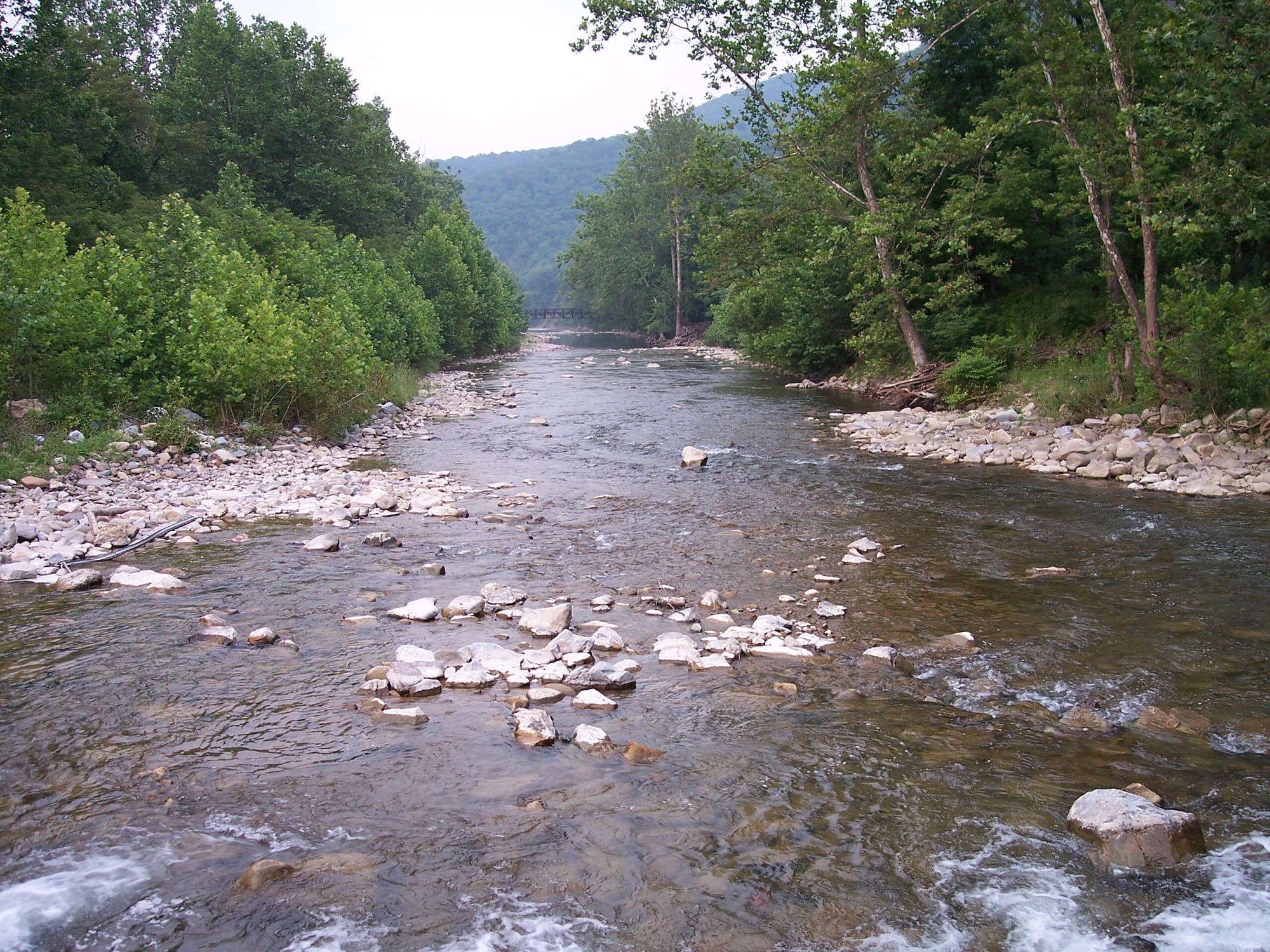
North Fork South Branch Potomac River

James River
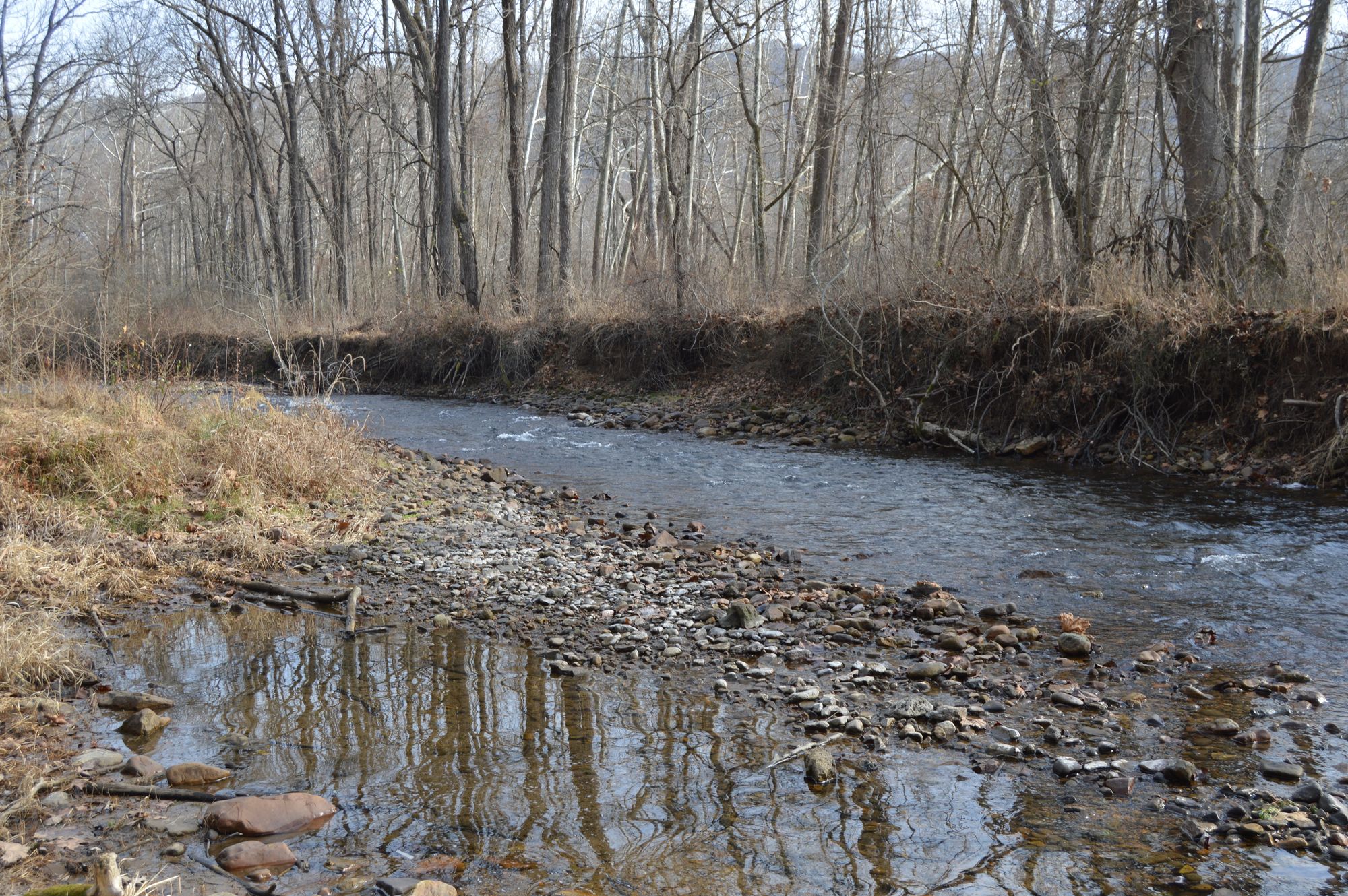
Jackson River
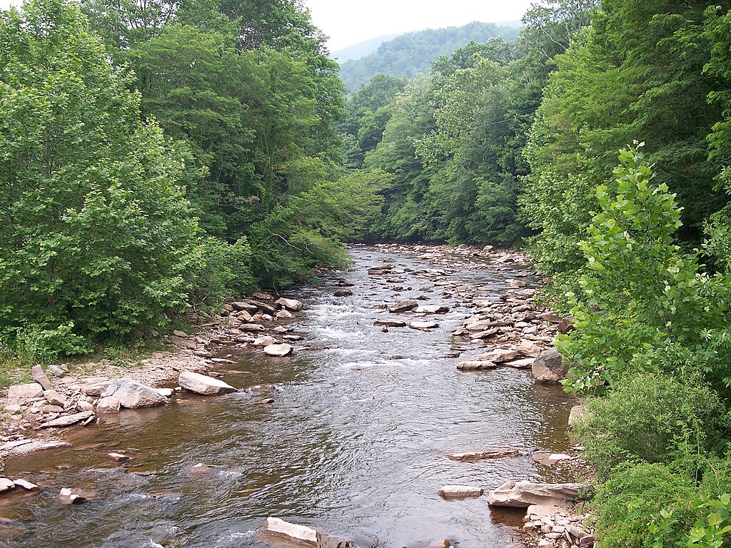
Dry Fork
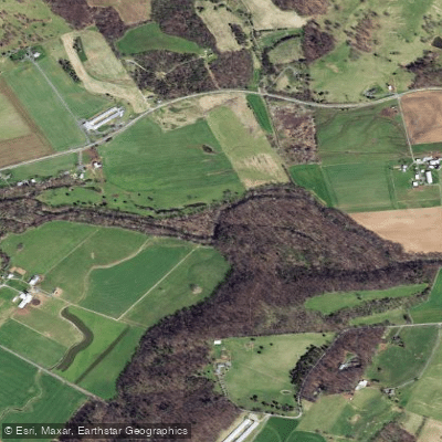
North River
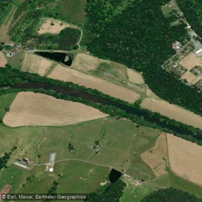
North Fork Shenandoah River
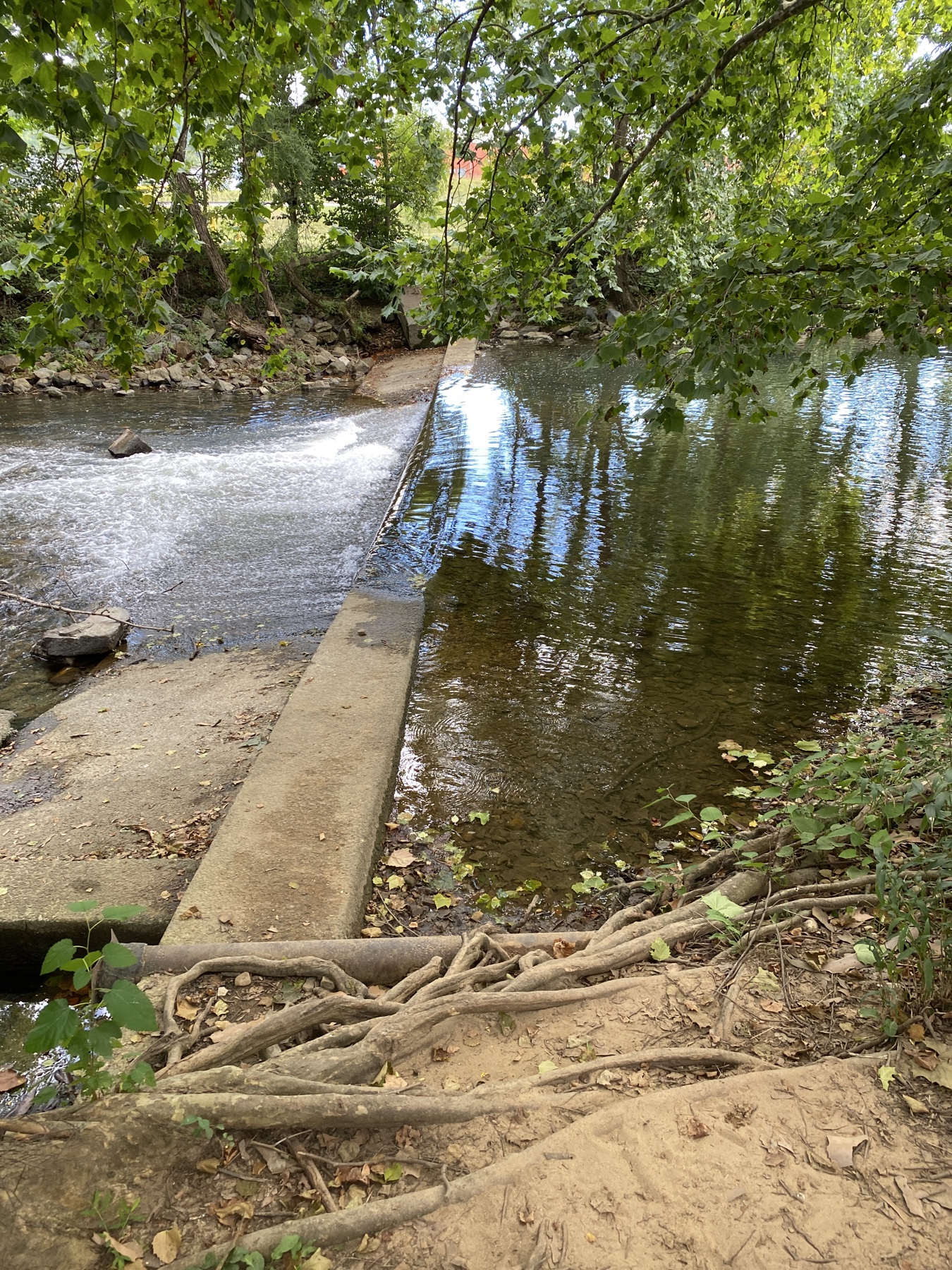
South River
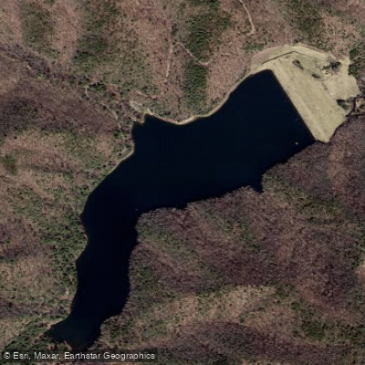
Skidmore Fork Lake
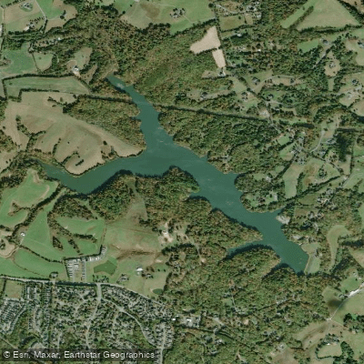
Beaver Creek Reservoir
West Virginia licenses and regulations
Explore West Virginia waters
Top paddling waters
No waters available right now.
Popular Cities
Loading popular cities...
Explore near Swallow Rock Trailhead Access
Nearby spots
- Spruce Knob Lake Boat Ramp
- Allegheny Mtn and Big Run Trailhead Access
- Bee Run Trailhead Access
- Big Run (Of Gandy) Trailhead Access
- Dry Fork Road Access
- Elza Run Trailhead Access
- Horton Trail Access
- Leading Ridge Trailhead Access
- Seneca Creek Trail Upstream Access
- Spring Ridge Trail Access
- Spruce Knob Lake Access
- Gatewood Campground
- All 17 nearby spots
Nearby waters
More in West Virginia

Smarter Paddling Starts in the App.
Paddleways gives you everything you need to plan smarter, paddle better, and own every trip from first launch to takeout.