North Fork South Branch Potomac River
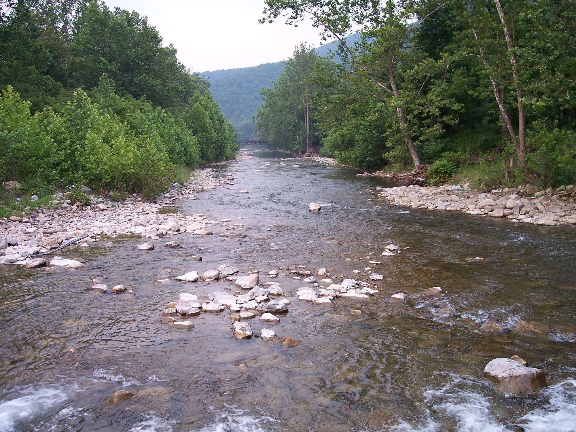
North Fork South Branch Potomac River
- Boat Ramps
- 2
- Access Points
- 5
- Campsites
- 11
The North Fork South Branch Potomac River is a scenic waterway flowing through the eastern highlands of West Virginia. Originating near Judy Gap in Pendleton County, it flows northeastward for approximately 43 miles before joining the South Branch Potomac River near Petersburg. This river system is part of the larger Potomac watershed that ultimately drains into the Chesapeake Bay.
Paddlers will find a variety of experiences along the North Fork, from placid stretches suitable for beginners to more challenging whitewater sections that will test intermediate and advanced paddlers. The river is typically divided into several distinct sections: 1. Judy Gap to Seneca Rocks (8.9 miles, Class I-II) 2. Riverton to Seneca Rocks (7.7 miles, Class II-III) 3. Seneca Rocks to Head of Hopeville Canyon (9.6 miles, Class I-III) 4. Hopeville Canyon (4.2 miles, Class II-III) 5. Hopeville to Confluence (6 miles, Class I-II)
The overall difficulty ranges from Class I to III, with the most challenging rapids found in the Hopeville Canyon section. Paddlers should have solid whitewater skills and be comfortable with swift water before attempting the more difficult stretches. The best paddling season is typically spring through early summer when water levels are optimal. Late summer and fall can offer pleasant conditions but may require more technical maneuvering due to lower water levels.
The river corridor is known for its stunning scenery, including towering rock formations, dense forests, and occasional glimpses of wildlife such as deer, turkey, and various bird species. The iconic Seneca Rocks, a popular rock climbing destination, serves as a dramatic backdrop for part of the journey.
Key access points include Judy Gap, Riverton, Seneca Rocks, and Hopeville, all small communities in rural West Virginia. The nearby town of Petersburg offers additional amenities for paddlers planning longer trips.
The North Fork South Branch Potomac holds historical significance as part of the region's early settlement and logging history. Today, it plays a vital role in the local economy through recreation and tourism.
Safety considerations include being prepared for remote stretches with limited cell phone coverage and potential hazards such as strainers and undercut rocks. Paddlers should always wear appropriate safety gear and check current water levels before embarking.
For those seeking a multi-day adventure, it's possible to combine several sections for a longer trip, with primitive camping available along some stretches. The full length of the North Fork, combined with portions of the South Branch, can provide an extended paddling experience through the heart of West Virginia's scenic eastern mountains.
Water access, boat ramps & amenities
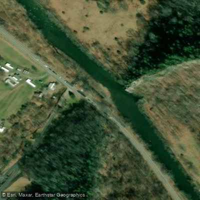
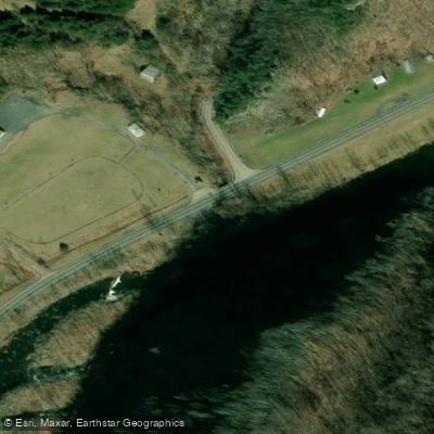
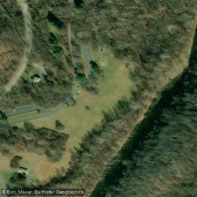
Learn how to get on North Fork South Branch Potomac River. Uncover great paddling access points, boat ramps, and all the facilities you need for an unforgettable day on the water. Some locations shown may border or include private property. Always check property boundaries and applicable regulations before visiting. PaddleWays's Public & Private Land layer can help you plan your access with confidence.
Paddle smarter with real-time insights
Whether you're en route and conditions shift or you're looking for the best spot based on current flows, we enable you to make informed decisions on the fly.








Find Places to Paddle

Over 400,000 Places to Paddle
Every user gets free access to launch points, boat ramps, and public property parcels.


Water and weather conditions (10 day forecast)
See the best times to paddle North Fork South Branch Potomac River and check the forecast before you go.
N F SOUTH BRANCH POTOMAC RIVER AT CABINS, WV
Paddling near North Fork South Branch Potomac River
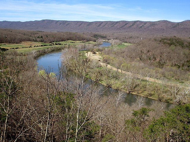
South Fork Shenandoah River

James River
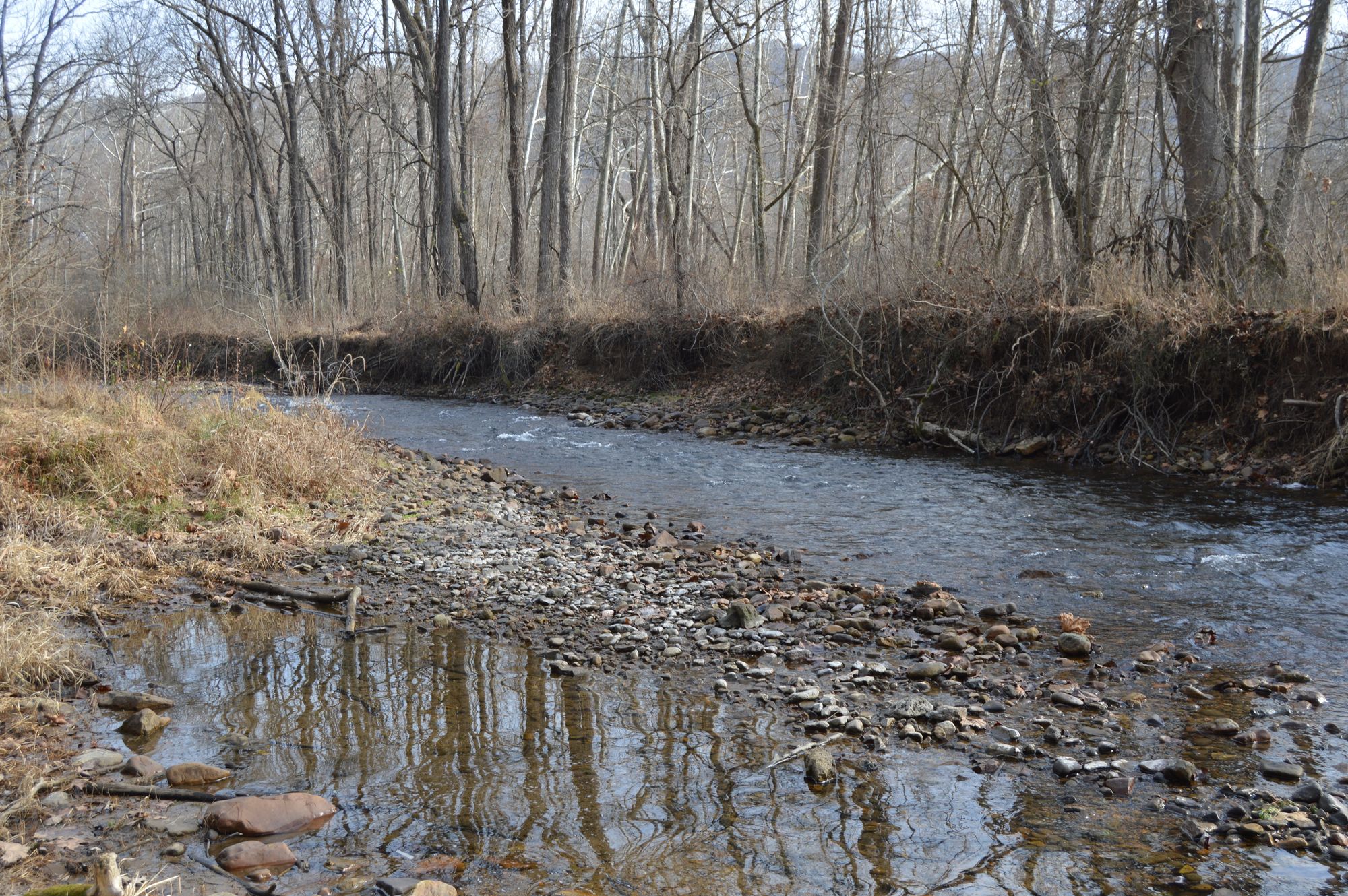
Jackson River
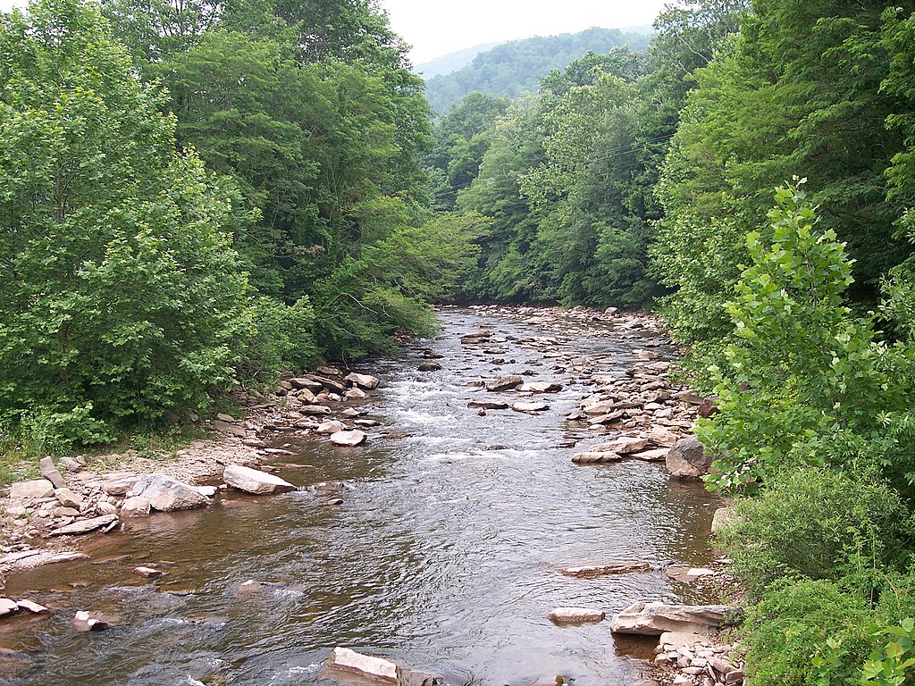
Dry Fork
North River
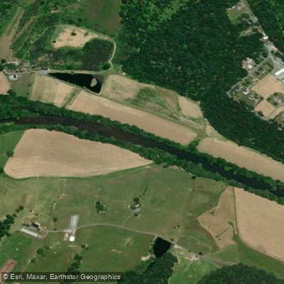
North Fork Shenandoah River
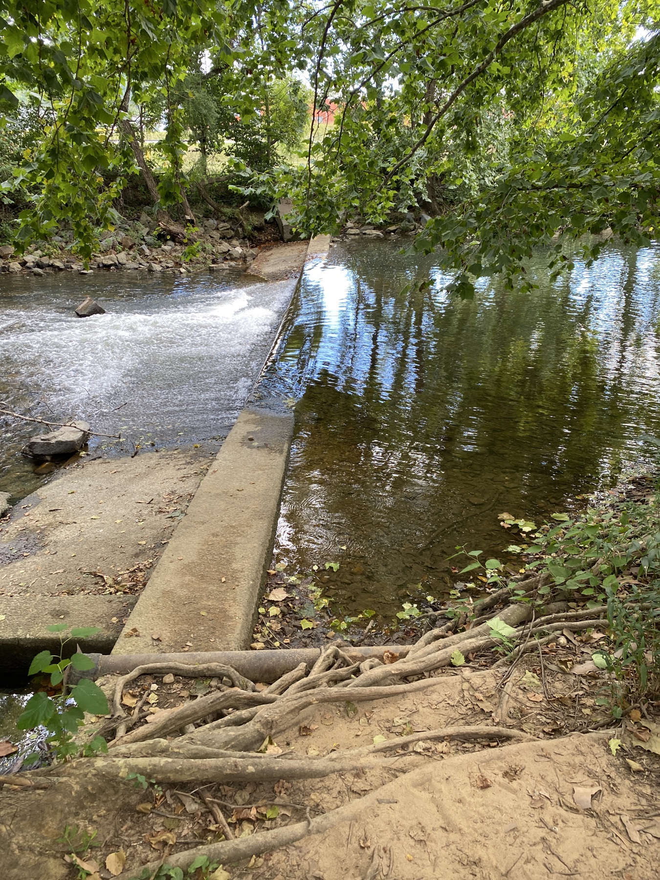
South River
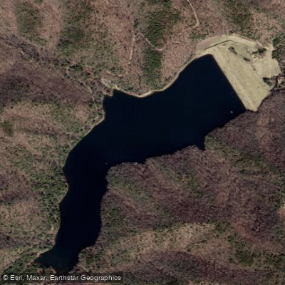
Skidmore Fork Lake
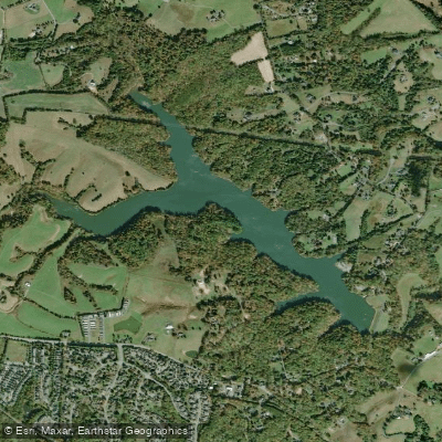
Beaver Creek Reservoir
Explore West Virginia waters
Top paddling waters
Popular Cities
Loading popular cities...
Explore near North Fork South Branch Potomac River
Access points
Nearby waters
More in West Virginia

Smarter Paddling Starts in the App.
Paddleways gives you everything you need to plan smarter, paddle better, and own every trip from first launch to takeout.