Beaver Creek Reservoir
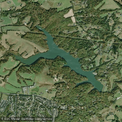
Beaver Creek Reservoir
- Boat Ramps
- 1
- Access Points
- 2
- Campsites
- 1
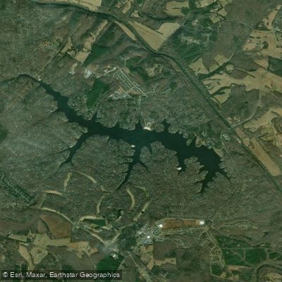
Beaver Creek Reservoir is a 104-acre water supply lake located near Crozet, Virginia that offers a peaceful paddling environment with stunning views of the Blue Ridge Mountains. The reservoir, built in 1964, features a forested shoreline and rolling piedmont terrain.
Access is available via a concrete boat launch, with additional canoe/kayak access points along the water's edge. Paddlers must follow specific regulations: no gasoline-powered motors are permitted (electric motors only), and swimming is prohibited for both humans and pets. The reservoir is part of a 219-acre park that includes year-round restroom facilities and three picnic tables with charcoal grills.
The water is typically calm and glass-like, making it particularly suitable for novice paddlers and families. Local paddlers often visit for post-work excursions or casual family outings. While summer is popular, fall paddling offers exceptional views of autumn foliage against the mountain backdrop. The reservoir serves as a practice venue for the Western Albemarle High School rowing team.
Wildlife viewing opportunities include various waterfowl species. Anglers frequently share the water, as the reservoir maintains healthy populations of largemouth bass, bluegill, and channel catfish.
Facilities include: - Concrete boat launch - Year-round restrooms - Parking area - Picnic areas with grills - Handicap-accessible amenities
The reservoir primarily serves as a water supply for the Town of Crozet, so all recreational activities must be conducted with water quality protection in mind. The park is open daily from sunrise to sunset.
Water access, boat ramps & amenities
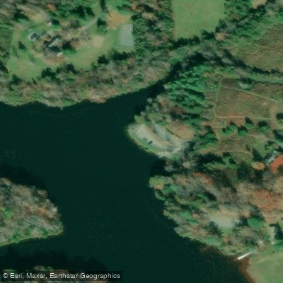
Learn how to get on Beaver Creek Reservoir. Uncover great paddling access points, boat ramps, and all the facilities you need for an unforgettable day on the water. Some locations shown may border or include private property. Always check property boundaries and applicable regulations before visiting. PaddleWays's Public & Private Land layer can help you plan your access with confidence.
Paddle smarter with real-time insights
Whether you're en route and conditions shift or you're looking for the best spot based on current flows, we enable you to make informed decisions on the fly.








Find Places to Paddle

Over 400,000 Places to Paddle
Every user gets free access to launch points, boat ramps, and public property parcels.


Water and weather conditions (10 day forecast)
See the best times to paddle Beaver Creek Reservoir and check the forecast before you go.
No forecast data available.
Paddling near Beaver Creek Reservoir

James River
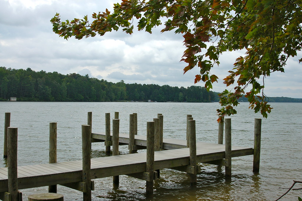
Lake Anna
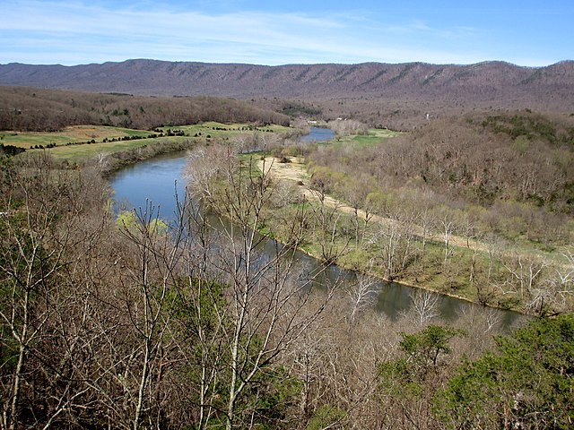
South Fork Shenandoah River

Rappahannock River
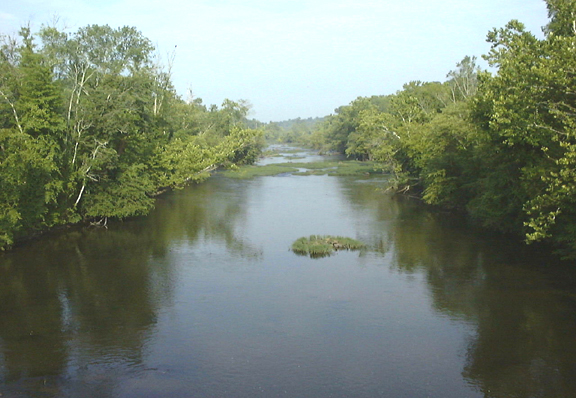
Appomattox River
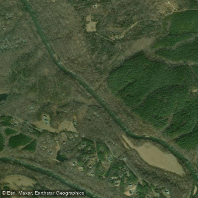
Rivanna River
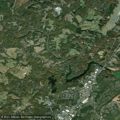
South Fork Rivanna River Reservoir
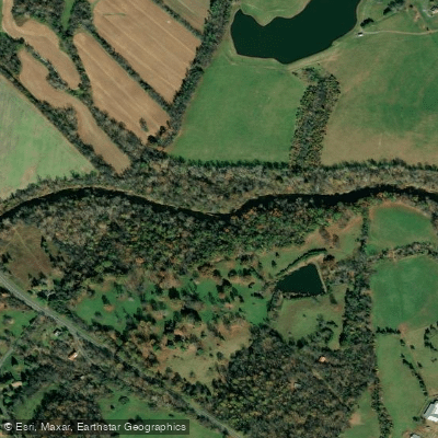
Rapidan River
Lake Monticello
Explore Virginia waters
Top paddling waters
Popular Cities
Loading popular cities...
Explore near Beaver Creek Reservoir
Nearby waters
More in Virginia

Smarter Paddling Starts in the App.
Paddleways gives you everything you need to plan smarter, paddle better, and own every trip from first launch to takeout.