Jackson River
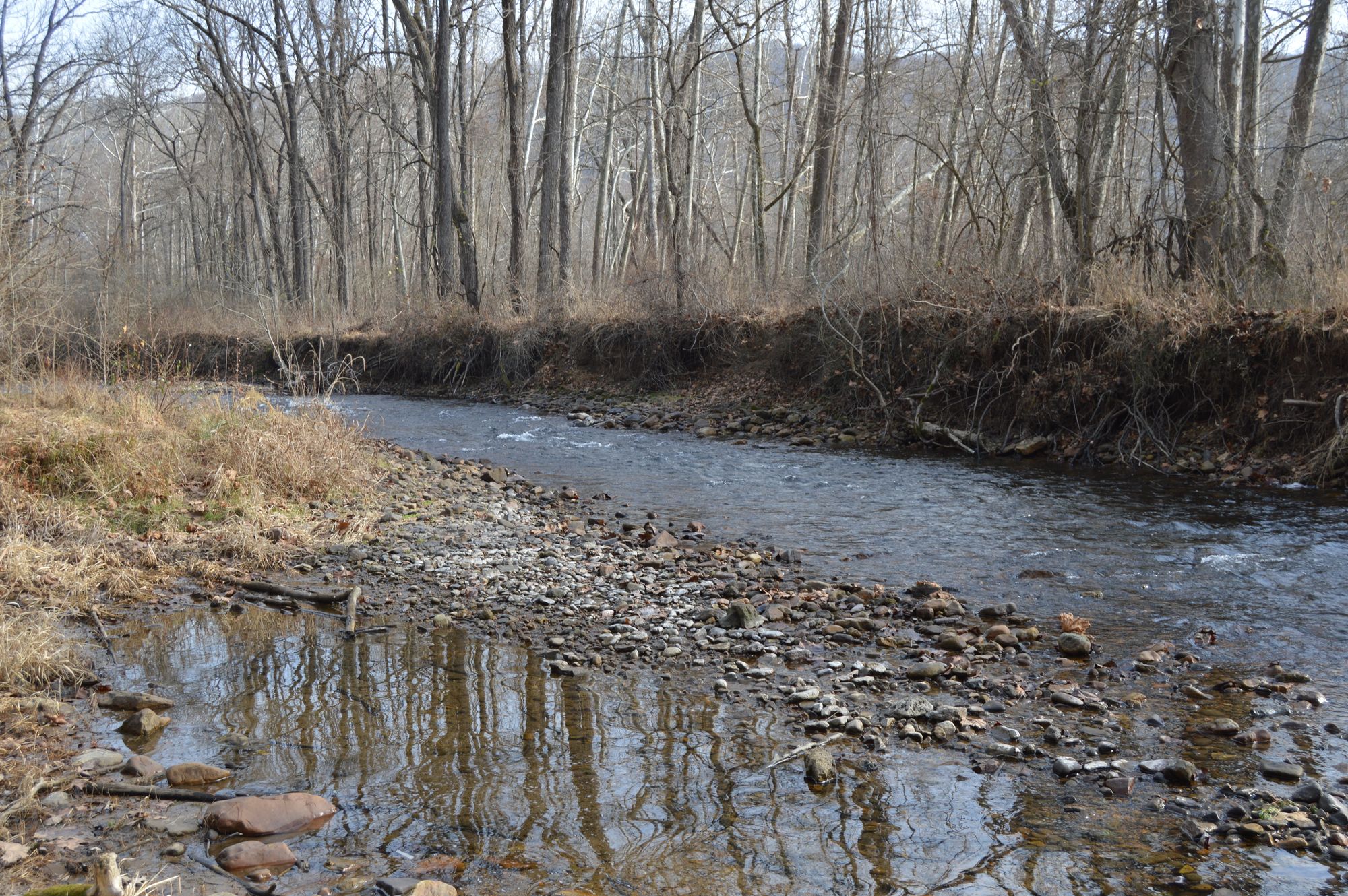
Jackson River
- Boat Ramps
- 11
- Access Points
- 24
- Campsites
- 10
The Jackson River originates in Highland County, Virginia and flows southward through the Allegheny Mountains. It joins with the Cowpasture River to form the James River near Iron Gate. The river runs approximately 95 miles through Bath and Alleghany counties, draining a watershed of about 1,000 square miles.
Paddling opportunities abound on the Jackson, with several popular sections offering a range of experiences. The upper reaches from Lake Moomaw to Intervale provide scenic flatwater and gentle Class I-II rapids perfect for beginners and families. Below Gathright Dam, the river gains more volume and features Class II-III whitewater interspersed with calm pools. Most sections are suitable for intermediate paddlers, though some Class III rapids require more advanced skills, especially at higher water levels.
The river is typically paddled from spring through fall, with summer offering warm water but potentially low flows. Spring and fall provide the most reliable water levels.
The Jackson flows through the George Washington National Forest, surrounded by mixed hardwood forests home to diverse wildlife. Paddlers may spot bald eagles, ospreys, river otters, and black bears. The emerald green waters and towering limestone cliffs create a stunning backdrop.
Key landmarks include Gathright Dam, which forms Lake Moomaw, and the Bath County Pumped Storage Station, one of the largest of its kind in the world. Historic sites like the Humpback Bridge, the oldest of its type in the U.S., offer glimpses into the area's past.
Popular access points include Lake Moomaw, Indian Draft, Petticoat Junction, and Intervale, all near the town of Covington. Multi-day trips are possible by camping at designated sites along the river.
Paddlers should be aware of regularly scheduled water releases from Gathright Dam, which can dramatically affect water levels and paddling conditions. All boaters are required to wear life jackets. The Jackson River's natural beauty and range of paddling options make it a premier destination for outdoor enthusiasts in western Virginia.
Water access, boat ramps & amenities
Learn how to get on Jackson River. Uncover great paddling access points, boat ramps, and all the facilities you need for an unforgettable day on the water. Some locations shown may border or include private property. Always check property boundaries and applicable regulations before visiting. PaddleWays's Public & Private Land layer can help you plan your access with confidence.
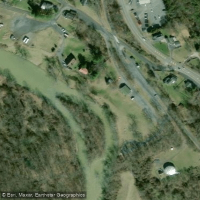
Intervale Access
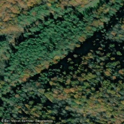
Poor Farm Dispersed Recreation Area Access
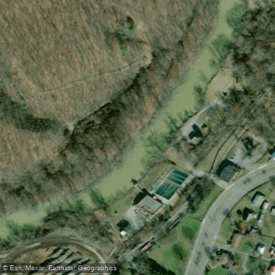
West Mead Access
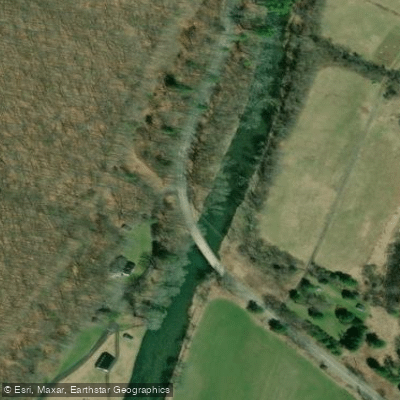
Mountain Grove Access
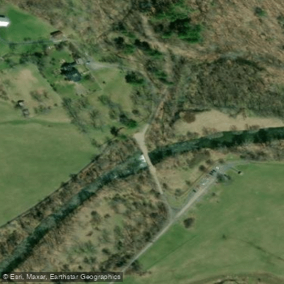
Hidden Valley Recreational Area Access
Poor Farm Road Access
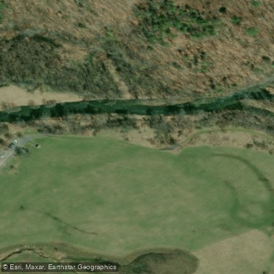
Hidden Valley West Trail Access
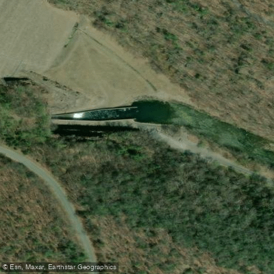
Coles Mountain Road Access
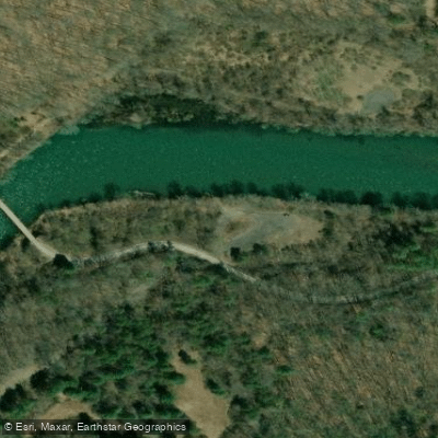
Richardson Gorge Road Access
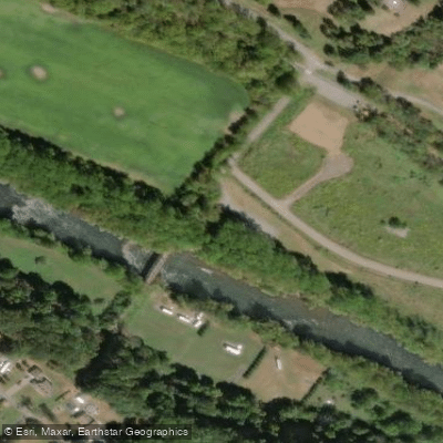
Smith Bridge Access
Paddle smarter with real-time insights
Whether you're en route and conditions shift or you're looking for the best spot based on current flows, we enable you to make informed decisions on the fly.








Find Places to Paddle

Over 400,000 Places to Paddle
Every user gets free access to launch points, boat ramps, and public property parcels.


Water and weather conditions (10 day forecast)
See the best times to paddle Jackson River and check the forecast before you go.
JACKSON RIVER NEAR BACOVA, VA
All Flow Stations
Paddling near Jackson River
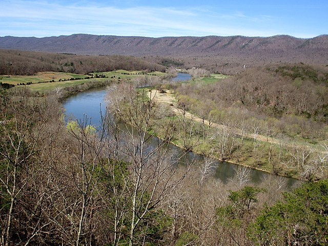
South Fork Shenandoah River

James River
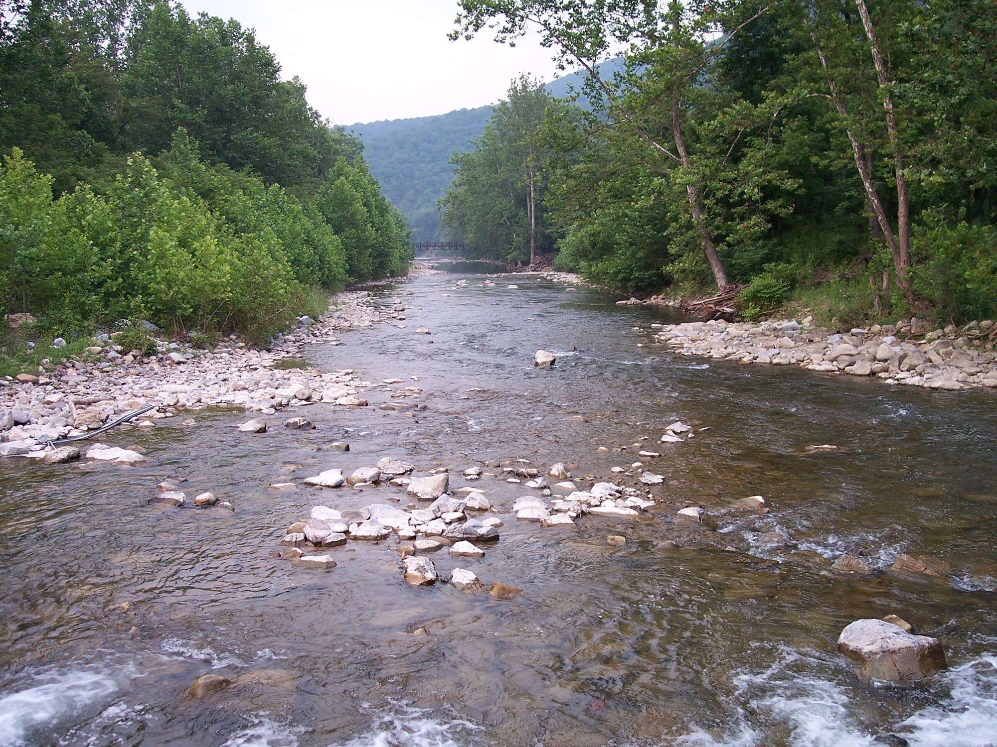
North Fork South Branch Potomac River
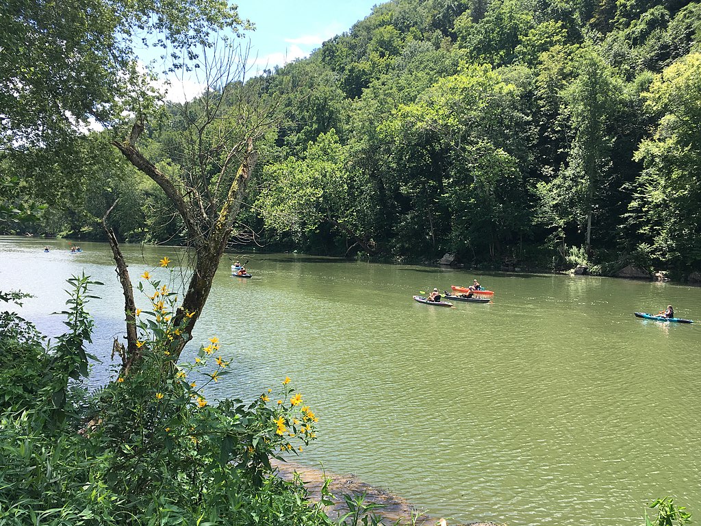
Greenbrier River
North River
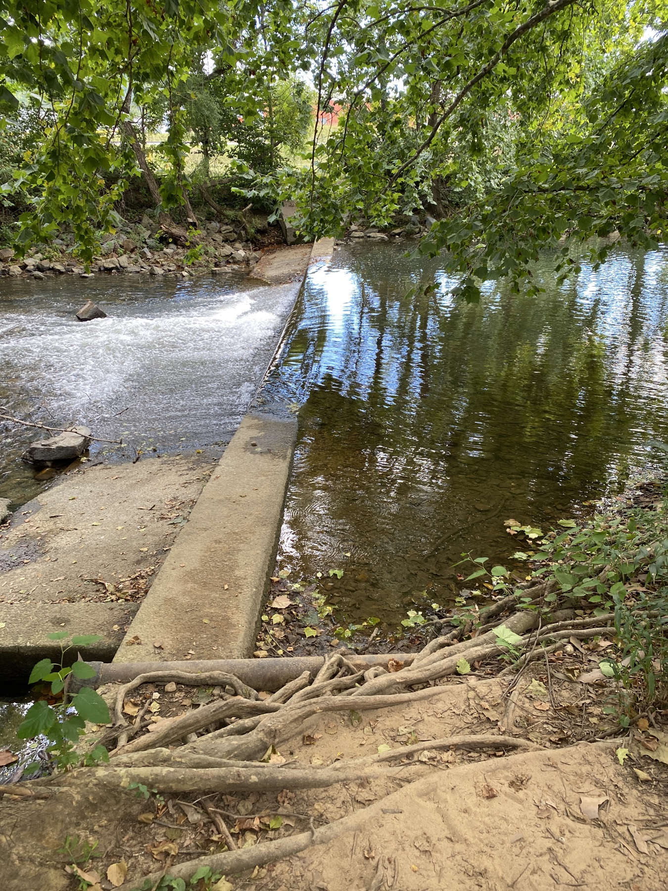
South River
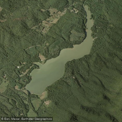
Lake Merriweather
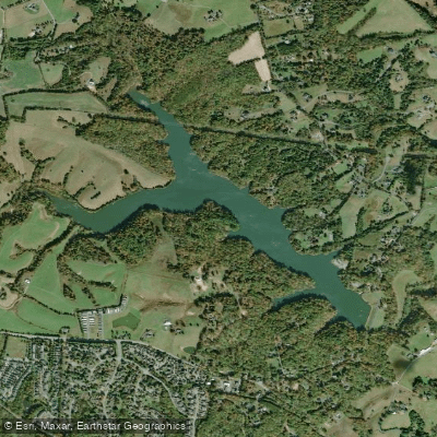
Beaver Creek Reservoir
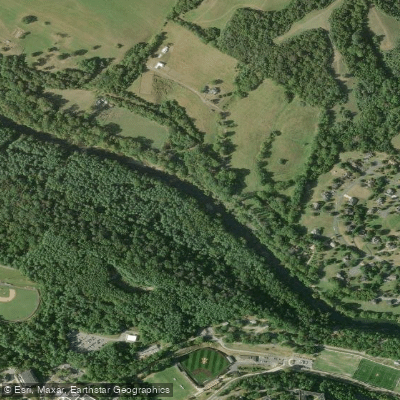
Maury River
Explore Virginia waters
Top paddling waters
Popular Cities
Loading popular cities...
Explore near Jackson River
Access points
- Smith Bridge Boat Ramp
- Johnson Spring Boat Ramp
- James River and Warm Springs Ranger District Boat Ramp
- Low Moor Boat Ramp
- Clifton Forge Boat Ramp
- Island Ford II Boat Ramp
- Indian Draft Boat Ramp
- Garthright Dam Boat Ramp
- Petticoat Junction Trailhead Boat Ramp
- Covington Boat Ramp
- Jackson River Canoe Access Points Boat Ramp
- Intervale Access
- All 47 spots
Nearby waters
More in Virginia

Smarter Paddling Starts in the App.
Paddleways gives you everything you need to plan smarter, paddle better, and own every trip from first launch to takeout.