South River
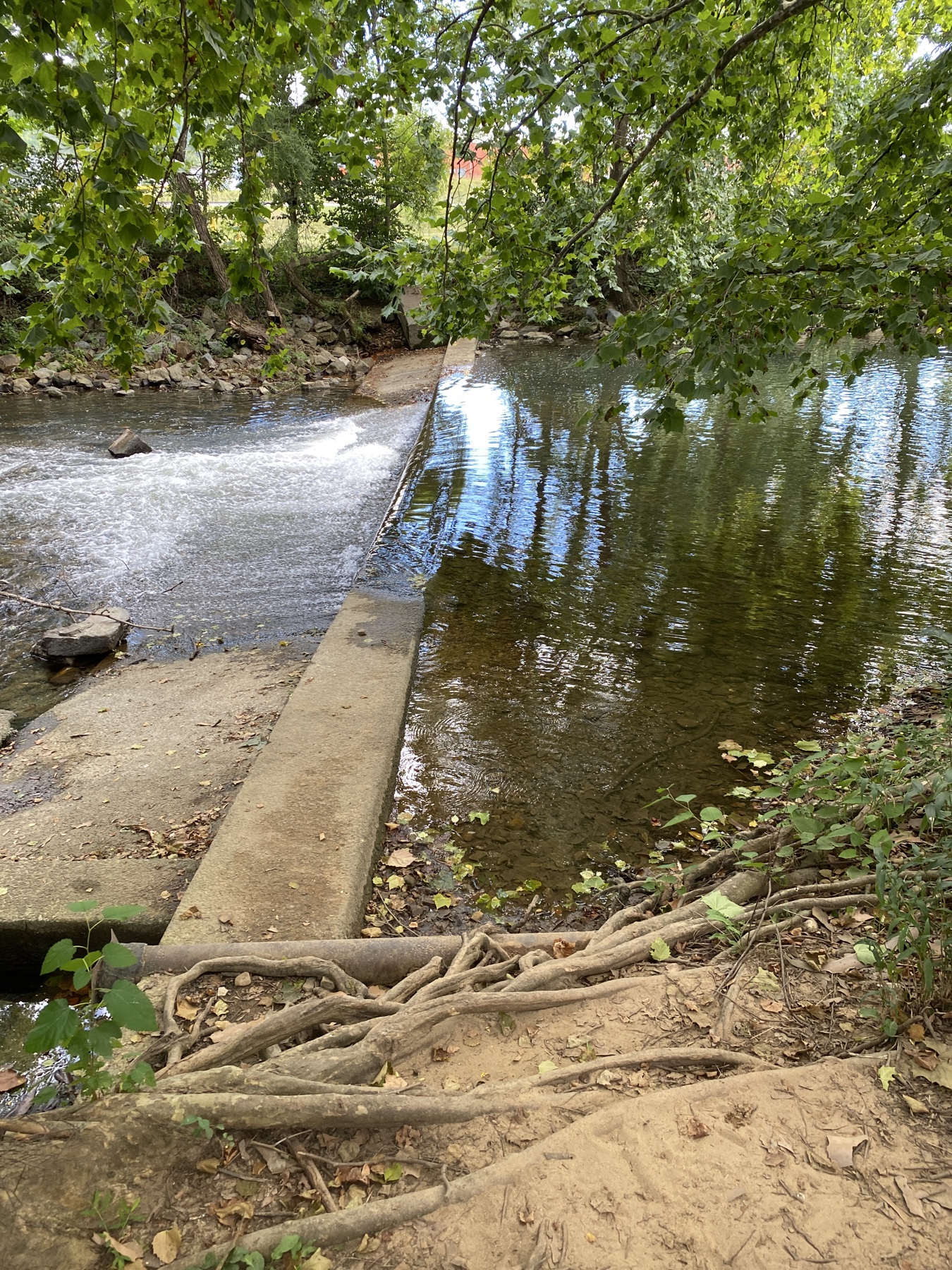
South River
- Boat Ramps
- 4
- Access Points
- 15
- Campsites
- 1
The South River is a scenic waterway in western Virginia that flows northward from its headwaters near Waynesboro through Augusta County. It joins with the North River near Port Republic to form the South Fork of the Shenandoah River. The South River stretches approximately 50 miles through Virginia's Shenandoah Valley, draining portions of the Blue Ridge Mountains and Shenandoah National Park.
Paddlers can enjoy several distinct sections of the South River, ranging from urban stretches to more remote runs. The Waynesboro Water Trail offers a pleasant 4-mile paddle through the city, starting at Ridgeview Park and ending at Basic Park. This flatwater section provides beautiful views of both the surrounding mountains and Waynesboro's urban landscape.
For more experienced paddlers, the 28-mile stretch from Lyndhurst to Port Republic offers a mix of flatwater and Class I-II rapids. This longer section requires good maneuvering skills and is best suited for intermediate paddlers. The river's difficulty increases slightly in its upper reaches, with swifter water near Highway 664 gradually transitioning to calmer conditions downstream.
The South River's flow is generally most reliable in spring and early summer, though sections like the Waynesboro Water Trail can often be paddled year-round. The river supports a diverse ecosystem, including various fish species. Notably, several sections are managed as stocked trout waters, providing excellent fishing opportunities.
Key access points include Ridgeview Park and Basic Park in Waynesboro, as well as put-ins near Lyndhurst and Grand Caverns. The river passes by several parks and historic sites, including Constitution Park and the Grand Caverns, one of the oldest show caves in the United States.
Paddlers should be aware of two small dams between Wayne Avenue and Constitution Park in Waynesboro that require portaging. Additionally, there is a mercury advisory for fish consumption on the South River, except for trout.
For those seeking a multi-day adventure, the full 28-mile Lyndhurst to Port Republic run can be split into shorter segments, with several access points along the way. This allows paddlers to tailor their trip length to their skill level and available time.
The South River offers a unique blend of urban and rural paddling experiences, showcasing the natural beauty and cultural heritage of Virginia's Shenandoah Valley region. Whether you're seeking a leisurely float through Waynesboro or a more challenging journey downstream, the South River provides diverse opportunities for paddlers of various skill levels.
Water access, boat ramps & amenities
Learn how to get on South River. Uncover great paddling access points, boat ramps, and all the facilities you need for an unforgettable day on the water. Some locations shown may border or include private property. Always check property boundaries and applicable regulations before visiting. PaddleWays's Public & Private Land layer can help you plan your access with confidence.
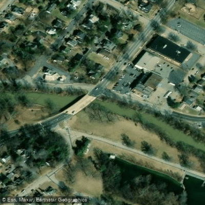
Wayne Ave Access
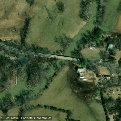
Dooms Crossing Road Access
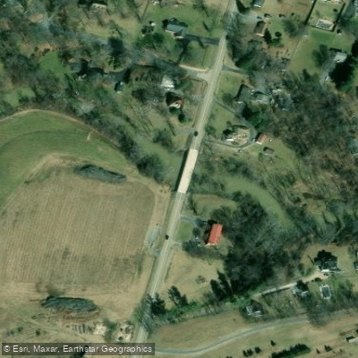
Lyndhurst Road Access
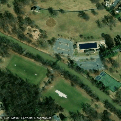
Ridgeview Park Access
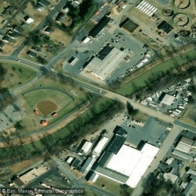
2nd Street Access
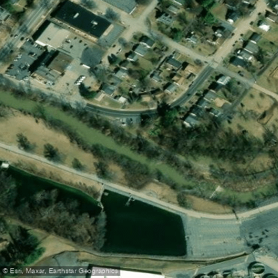
Greenway Walking Trail Access
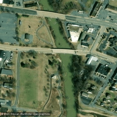
Constitution Park Access
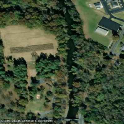
Grad Caverns Regional Park Access
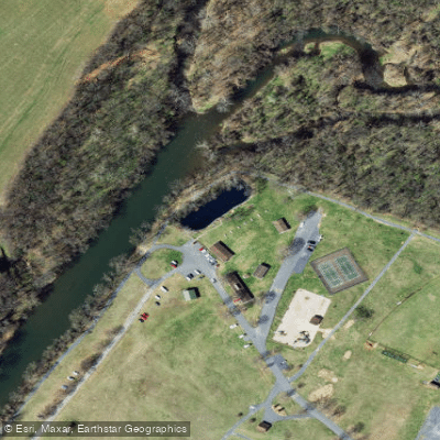
Grottoes Town Park Access
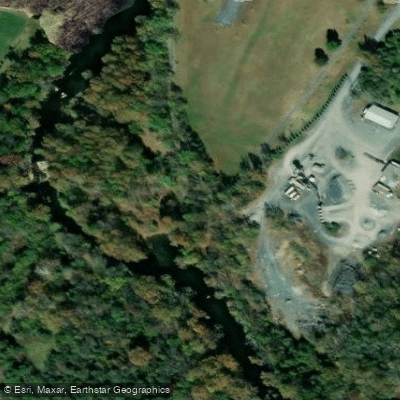
Town Park Access
Paddle smarter with real-time insights
Whether you're en route and conditions shift or you're looking for the best spot based on current flows, we enable you to make informed decisions on the fly.








Find Places to Paddle

Over 400,000 Places to Paddle
Every user gets free access to launch points, boat ramps, and public property parcels.


Water and weather conditions (10 day forecast)
See the best times to paddle South River and check the forecast before you go.
SOUTH RIVER AT HARRISTON, VA
All Flow Stations
Paddling near South River
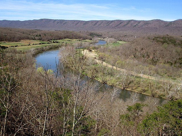
South Fork Shenandoah River

James River
Jackson River
Appomattox River
Beaver Creek Reservoir
North River
Rivanna River
Lake Merriweather
South Fork Rivanna River Reservoir
Explore Virginia waters
Top paddling waters
Popular Cities
Loading popular cities...
Explore near South River
Access points
Nearby waters
More in Virginia

Smarter Paddling Starts in the App.
Paddleways gives you everything you need to plan smarter, paddle better, and own every trip from first launch to takeout.