Curated by PaddleWays
RouteClass II–III
- Distance
- 5.7 mi
- Paddle time
- ~1.5 hrs
- Put-in → take-out
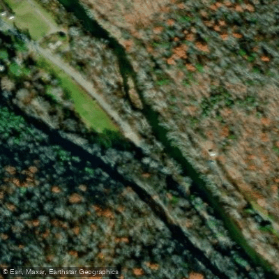
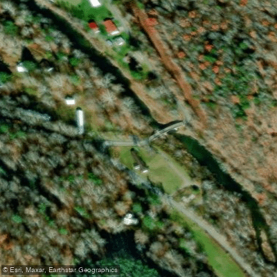
- Blue Bend Recreation Area Access → Anthony Boat Ramp
Anthony Creek originates in the high country of the Monongahela National Forest and flows westward through Greenbrier County, West Virginia, for approximately 13 miles before joining the Greenbrier River near the community of Anthony. The creek descends through a forested valley characterized by rhododendron thickets, hardwood canopy, and clear mountain water that supports a healthy trout population.
The West Virginia Division of Natural Resources stocks Anthony Creek with rainbow and brown trout from one mile below Big Draft Run upstream to Neola, making it a popular destination for anglers. The creek receives regular stockings from February through May and additional fall stockings in October. The cold, clear waters maintain trout populations year-round, with some fish filtering downstream into the catch-and-release sections.
Paddlers find two distinct sections on Anthony Creek. The upper run from Neola to Blue Bend Recreation Area covers 10 miles of Class I-II water, suitable for novice kayakers and canoeists seeking a relaxed float through scenic mountain terrain. The lower section from Blue Bend Recreation Area to the Greenbrier River confluence spans 5.4 miles and increases in difficulty to Class I-III, requiring basic maneuvering skills around rock gardens and through tighter turns. Higher water levels can push this section toward Class III conditions.
Blue Bend Recreation Area serves as the primary access point and features a developed swimming hole with a rock beach, picnic facilities, and camping. This National Forest site provides an ideal base for exploring the creek. Additional swimming holes exist along the creek, including several accessible from Route 21, though water levels fluctuate significantly with seasonal rainfall.
The creek flows through a relatively remote forested corridor for much of its length, particularly in the lower six miles. Wildlife sightings are common, and the surrounding Monongahela National Forest offers extensive hiking opportunities on trails like the Anthony Creek Trail, which follows the waterway through dense rhododendron groves.
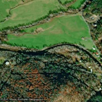
Access points include Neola (upper), Blue Bend Recreation Area (mid-section), and the Anthony DNR public access at the Greenbrier River confluence (lower). The nearest substantial town is Lewisburg, approximately 10-15 miles south, while White Sulphur Springs lies to the east.
Spring runoff from March through May provides optimal paddling flows, though summer levels can drop considerably, making the creek too shallow for comfortable navigation. The creek's forested setting offers shade during warmer months, and fall colors create spectacular scenery in October. Paddlers should note that Anthony Creek can experience rapid water level changes following heavy rain, and the lower section's increased gradient requires attention to avoid pinning against rocks in narrow passages.
Curated routes
Hand-picked by the PaddleWays team, with put-ins, take-outs, paddle times and the hazards along the way.
RouteClass II–III
RouteClass I–II
Hazards
No hazards are marked on Anthony Creek yet. That is not the same as none being there: if you find one, report it for the next paddler.
From the community
Nobody has shared a trip on Anthony Creek yet. Paddle it, then tell the next paddler how it went.
See exactly where the public can get on and off the river. Launch points and boat ramps are paired with PaddleWays' public land data so you know where you can legally land.
Public shoreline
51%of the river's shoreline is public
Flows, weather and a route-by-route verdict, so you know which stretch of the Anthony Creek is worth paddling today.
Live flows, marked hazards and fresh trip reports from paddlers who were just on the water, all in one place.





Every user gets free access to launch points, boat ramps, and public property parcels.

Loading popular cities...
PaddleWays gives you everything you need to plan smarter, paddle better, and own every trip from first launch to takeout.