Lower Mash
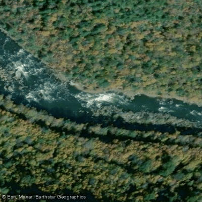
Lower Mash
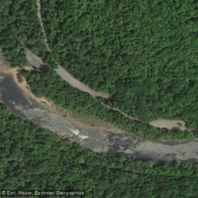
Class IV Enter in the main flow, just to the left of the rock sticking a few feet out of the water. Punch through the big wave hole at the bottom of the channel and then quickly get to the right of the hump rock in the middle of the river downstream.
The left channel contains many undercut boulders.
More ways to access Gauley River
Explore the wonders of Gauley River! Find excellent paddling spots, easy access to boat ramps, and all the amenities you need for a memorable day by the water. Your adventure starts here.
Water and weather conditions (10 day forecast)
Check the forecast at Lower Mash before you go paddling.
No forecast data available.
Paddling near Lower Mash
New River
North Carolina, Virginia, West Virginia
62.6 miles away
Kanawha River
West Virginia
36.4 miles away
Gauley River
West Virginia
17.8 miles away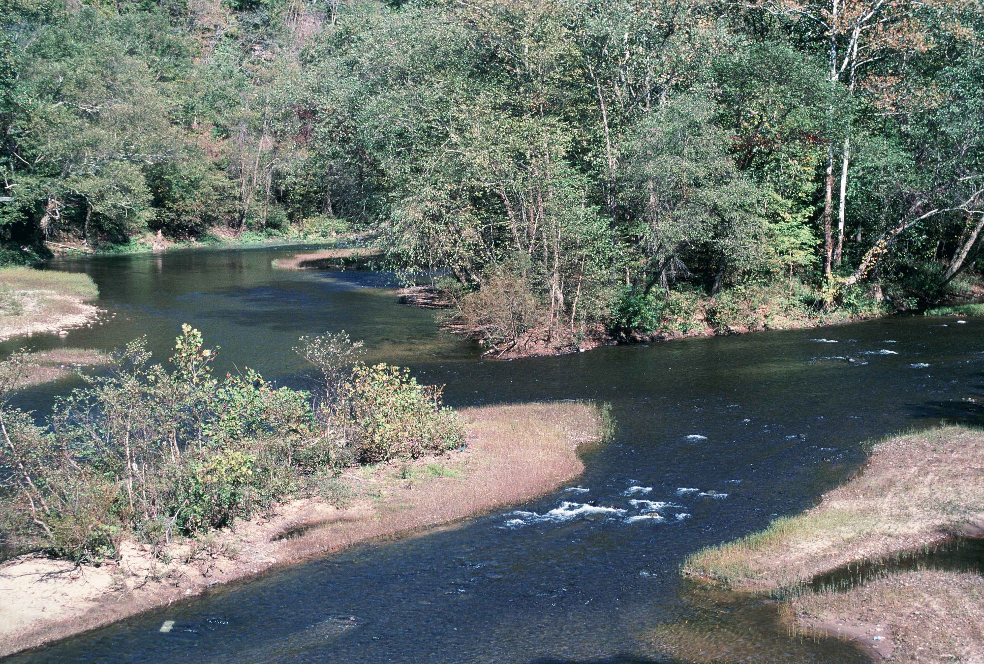
Elk River
West Virginia
25.7 miles away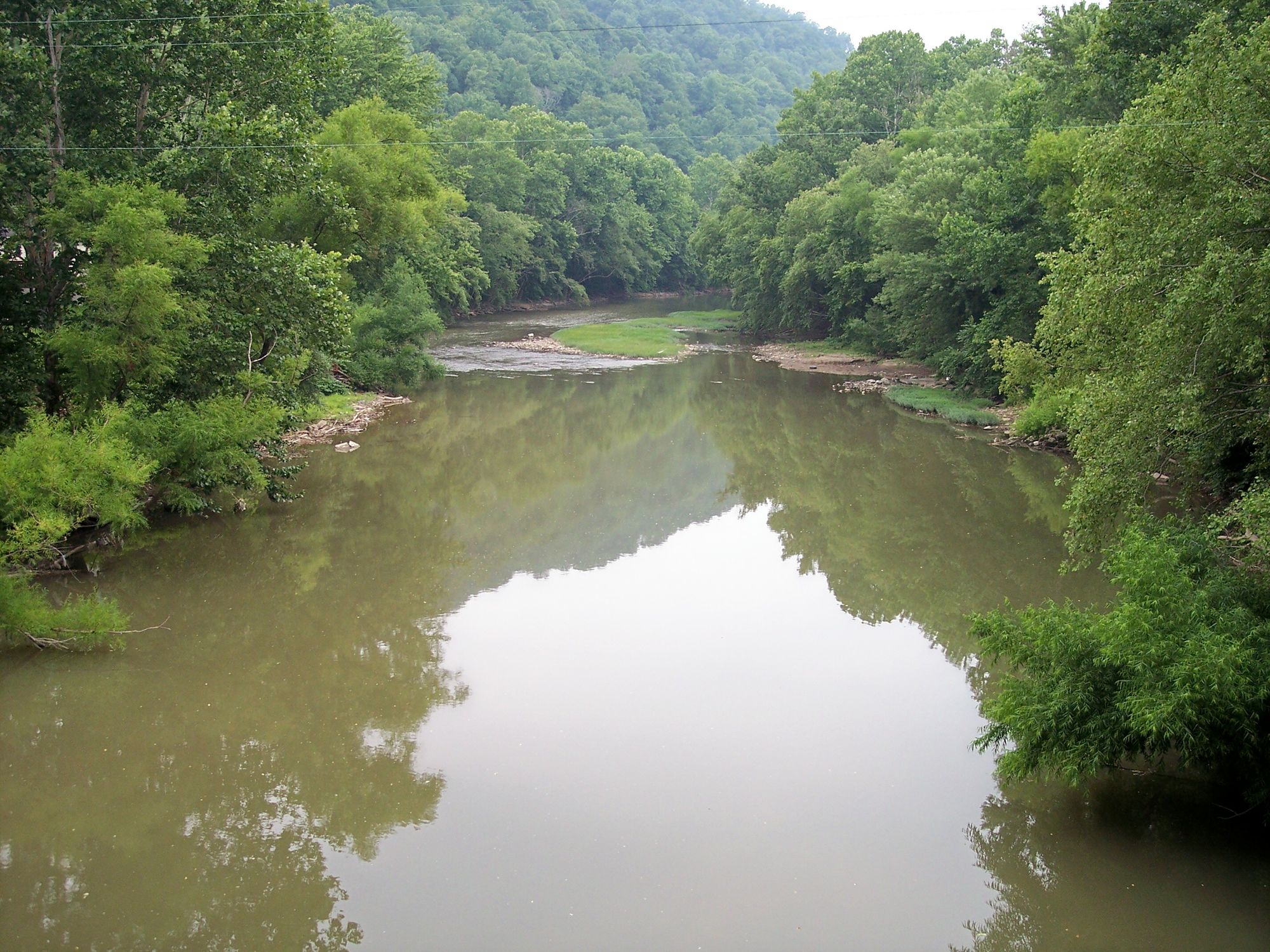
Guyandotte River
West Virginia
54 miles away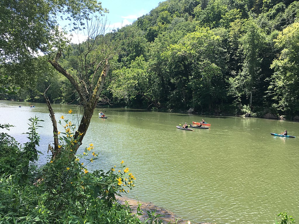
Greenbrier River
West Virginia
43.5 miles away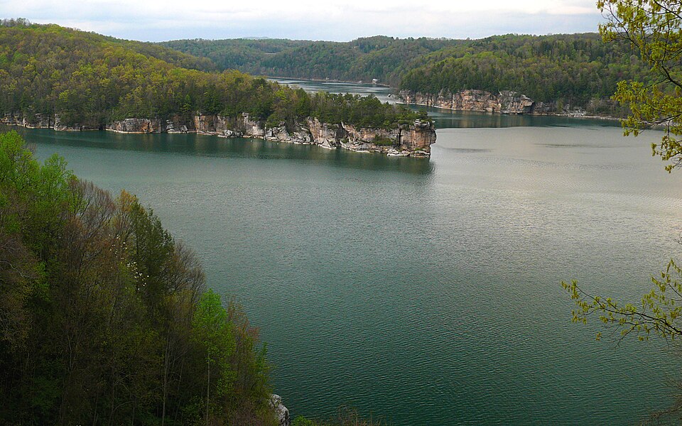
Summersville Lake
West Virginia
9.7 miles away
Wolf Creek
West Virginia
13.8 miles away
Meadow River
West Virginia
21.5 miles away
Piney Creek
West Virginia
33.7 miles awayWest Virginia licenses and regulations
Explore West Virginia waters
Top paddling waters
No waters available right now.
Popular Cities
Loading popular cities...
Explore near Lower Mash
On this water
Nearby spots
- Lower Gauley Put-In
- Lower Gauley Take-Out
- Sugar Creek Take-Out Boat Ramp
- Swiss Lower Gauley Take Out Boat Ramp
- Upper Gauley Mason Branch Take Out Boat Ramp
- Woods Ferry Boat Ramp
- Sugar Creek Access
- Swiss Access
- Upper Gauley Mason Branch Access
- Woods Ferry Lower Gauley Access
- Peters Junction Rail Bridge
- Gauley River Wild & Woolly Primitive Campground
- All 14 nearby spots
Nearby waters
More in West Virginia

Smarter Paddling Starts in the App.
PaddleWays gives you everything you need to plan smarter, paddle better, and own every trip from first launch to takeout.