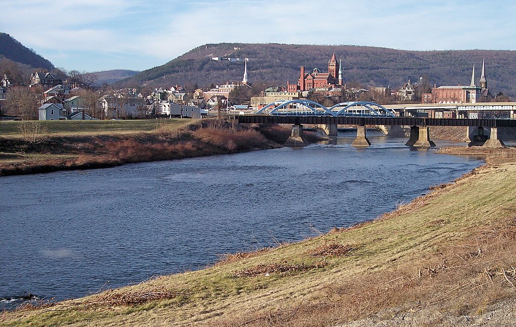
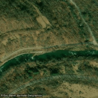
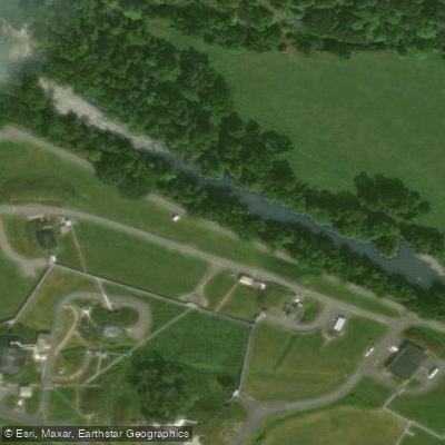
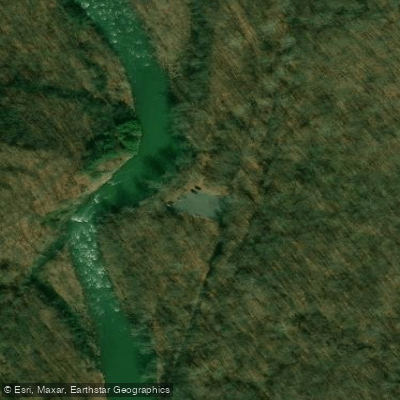
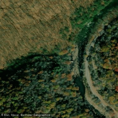
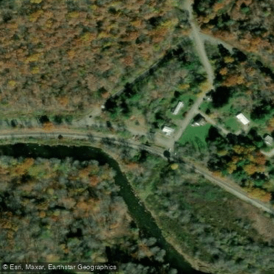
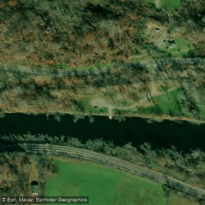
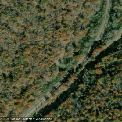
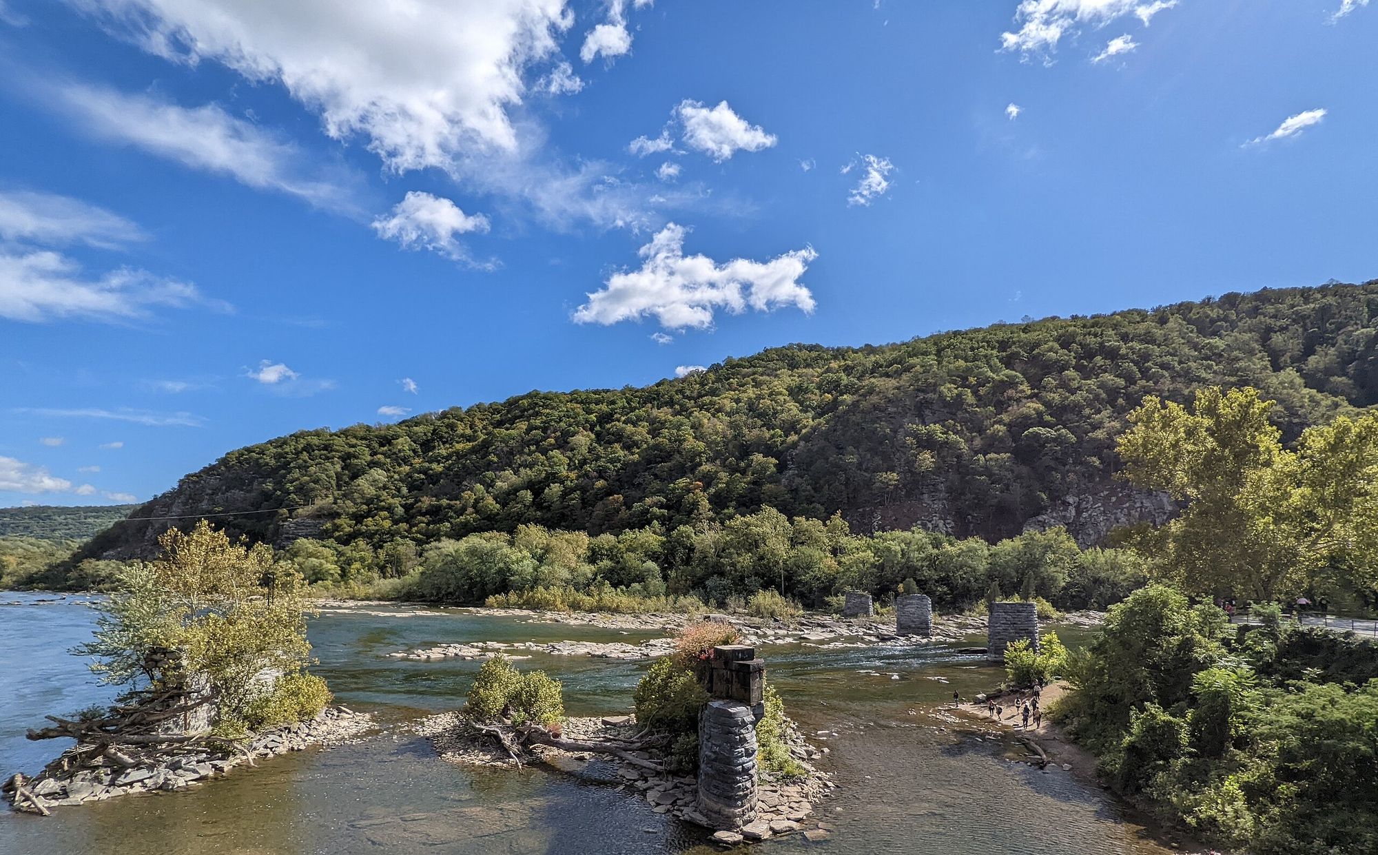
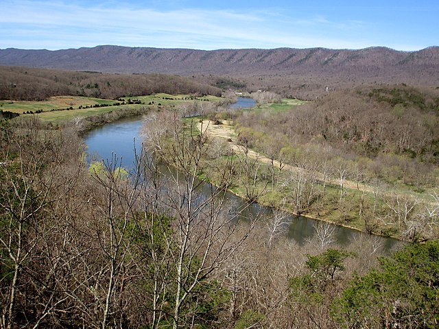
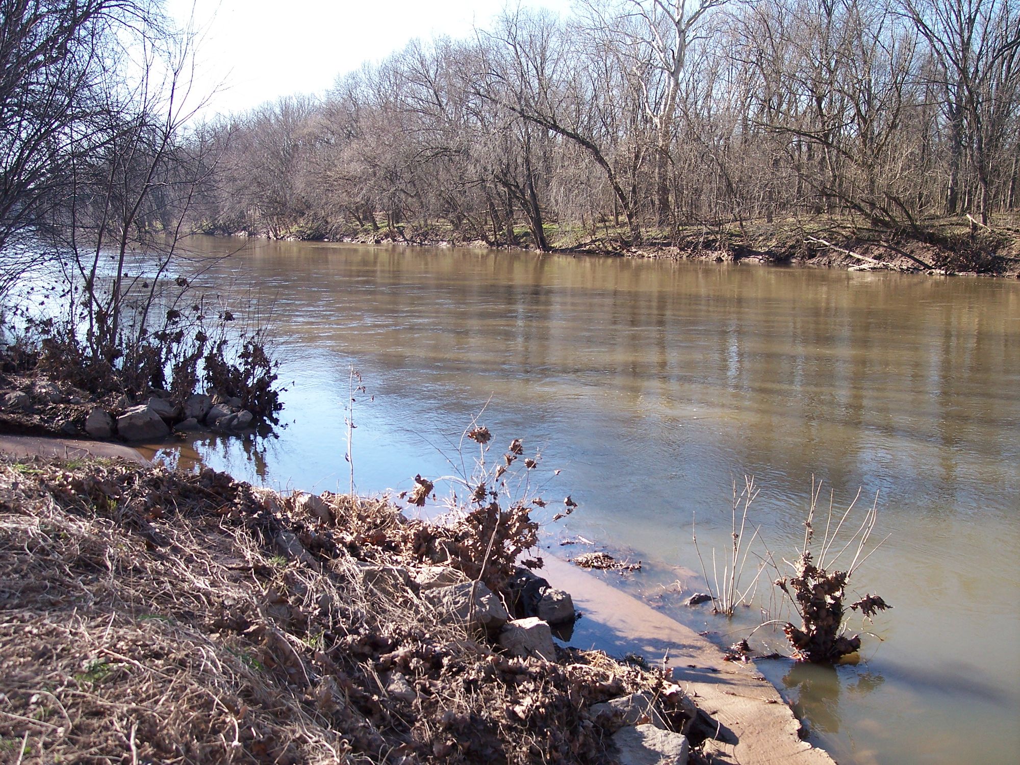
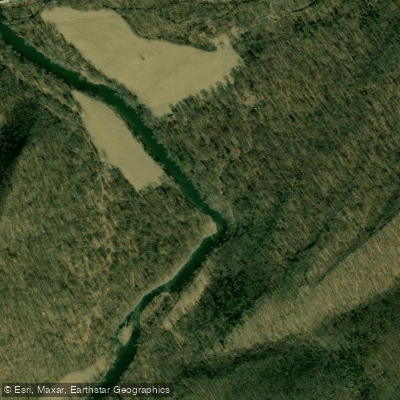
The North Branch Potomac River is a waterway that forms part of the border between Maryland and West Virginia. Flowing for approximately 103 miles from its source at the Fairfax Stone in West Virginia to its confluence with the South Branch Potomac River near Green Spring, this river offers paddlers a wide range of experiences, from calm flatwater to challenging whitewater.
The river can be divided into several distinct sections, each with its own character and level of difficulty. The upper reaches, from Henry to Gormania, provide a gentle Class I-III experience suitable for intermediate paddlers. As the river progresses downstream, it becomes more challenging, with the Gormania to Kitzmiller section offering exciting Class III-IV rapids that will test the skills of more experienced whitewater enthusiasts.
Below Kitzmiller, the river calms somewhat, with the stretch to Jennings Randolph Lake providing a mix of Class II-III rapids. This section is popular for its scenic beauty and relative accessibility. The Jennings Randolph Lake, an impoundment created for flood control and water supply, marks a significant change in the river's character.
Downstream of the lake, the river continues its journey through the Appalachian Mountains, offering a mix of whitewater and calmer stretches. The section from Bloomington to Keyser provides a more relaxed Class I-II experience, making it ideal for families and less experienced paddlers looking to enjoy the river's natural beauty.
The North Branch Potomac is generally best paddled in the spring and early summer when water levels are highest. However, scheduled dam releases from Jennings Randolph Lake can provide reliable flows for whitewater enthusiasts throughout the year. Paddlers should always check current water levels and weather conditions before embarking on a trip.
The river corridor is home to a diverse array of wildlife, including bald eagles, ospreys, and various species of fish. The improving water quality has led to the successful reintroduction of smallmouth bass in some sections. The surrounding forests and mountains provide a picturesque backdrop for paddlers, with opportunities to spot deer, black bears, and other woodland creatures.
Several historic towns dot the banks of the North Branch, including Cumberland, Maryland, which played a significant role in early American transportation history as the eastern terminus of the National Road. The river itself has been an important transportation and economic resource for centuries, from Native American settlements to early European colonization and industrial development.
For those looking to extend their adventure, multi-day trips are possible along the North Branch. A popular option is to paddle the entire 27-mile stretch from Jennings Randolph Lake to Piedmont, camping along the way. This trip offers a mix of whitewater excitement and peaceful floating, allowing paddlers to fully immerse themselves in the river's changing moods.
Safety is paramount on the North Branch Potomac. Paddlers should be aware of potential hazards such as strainers, undercut rocks, and rapid water level changes due to dam releases. Proper equipment, including personal flotation devices, is essential, and paddlers should have appropriate skills for the sections they attempt.
Access points are available at various locations along the river, with popular put-ins and take-outs at Barnum, Bloomington, Kitzmiller, and Cumberland. These towns also offer amenities for paddlers, including outfitters, accommodations, and dining options.
The North Branch Potomac River offers a paddling experience for almost every skill level, from novice to expert. Its combination of natural beauty, varied whitewater, and rich history make it a gem of the Appalachian region, inviting paddlers to explore its waters and the surrounding landscape.