Rock River

Rock River
- Boat Ramps
- 41
- Access Points
- 45
- Campsites
- 23
The Rock River is a significant waterway that flows through southern Wisconsin and northern Illinois, offering paddlers a diverse range of experiences along its 299-mile journey. This scenic river, known to Native Americans as "Sinnissippi" or "rocky waters," begins in Wisconsin's Horicon Marsh and meanders southward until it joins the Mississippi River in Illinois.
Paddlers on the Rock River can expect a predominantly flatwater experience, making it suitable for canoeists and kayakers of various skill levels. The river's gentle current and wide channels provide a relaxing paddling environment, ideal for both day trips and multi-day adventures. While most sections are calm, there are occasional areas with light rapids or riffles, particularly after periods of heavy rain.
The Rock River offers numerous put-in and take-out points, allowing paddlers to customize their trips. Popular sections include the stretch from Oregon to Grand Detour in Illinois, which features scenic rock formations and large islands, and the Janesville to Beloit section in Wisconsin, known for its wildlife viewing opportunities. For those seeking a unique experience, the Horicon Marsh Canoe Trail at the river's headwaters provides a 6.5-mile paddle through a magnificent wetland ecosystem.
Wildlife enthusiasts will find plenty to observe along the Rock River. Bald eagles, great blue herons, white pelicans, and various waterfowl species are common sights. Lucky paddlers might also spot beavers, deer, and even the occasional fox along the shoreline. The river's ecosystem supports a diverse array of fish species, making it a popular destination for anglers as well.
Several notable landmarks dot the Rock River's course. The historic Lyndon Bridge in Illinois serves as a picturesque backdrop for paddlers and marks the starting point of an annual July 4th canoe race. In Wisconsin, the Castle Rock and Indianford dams provide interesting features, though they require portaging.
Access to the Rock River is facilitated by numerous towns along its banks, including Janesville, Beloit, and Rockford. These communities offer amenities for paddlers, including boat launches, camping areas, and equipment rentals. The river's rich history is evident in the many parks and nature preserves that line its shores, such as Castle Rock State Park in Illinois, which offers primitive canoe-in camping.
While the Rock River is generally safe for paddling, it's important to be aware of potential hazards such as dams, low-head dams, and occasional motorboat traffic, particularly in wider sections. Paddlers should always wear life jackets and be prepared for changing weather conditions. It's also advisable to check water levels before embarking on a trip, as heavy rains can affect currents and water clarity.
For those interested in multi-day adventures, the Rock River Trail offers a 320-mile water trail experience from the Horicon Marsh to the Mississippi River. This nationally recognized trail provides ample opportunities for extended trips, with numerous camping options along the way.
The best time to paddle the Rock River is typically from late spring through early fall when water levels are most favorable and temperatures are comfortable. However, the river's reliable flow makes it accessible for much of the year, with each season offering its own unique charm and wildlife viewing opportunities.
Whether you're seeking a peaceful day on the water or an extended journey through the heartland, the Rock River offers a paddling experience rich in natural beauty, wildlife, and history. Its accessibility and varied character make it an excellent choice for paddlers of all interests and skill levels.
Water access, boat ramps & amenities
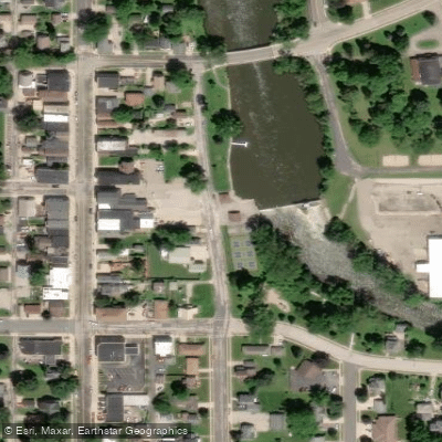
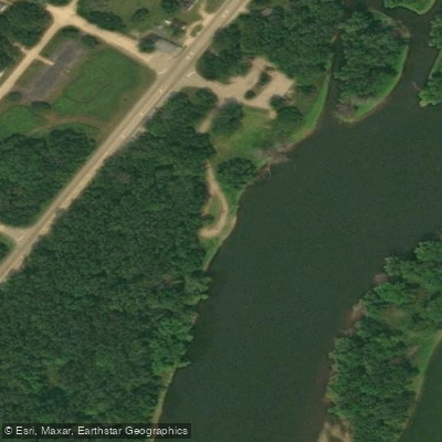
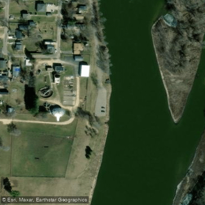
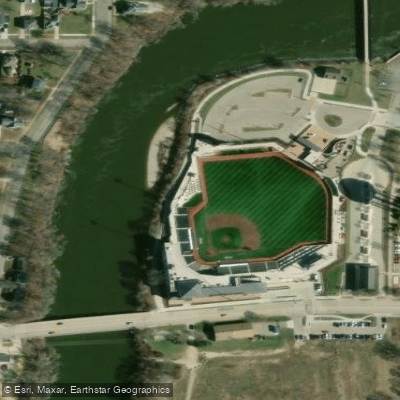
Learn how to get on Rock River. Uncover great paddling access points, boat ramps, and all the facilities you need for an unforgettable day on the water. Some locations shown may border or include private property. Always check property boundaries and applicable regulations before visiting. PaddleWays's Public & Private Land layer can help you plan your access with confidence.
Paddle smarter with real-time insights
Whether you're en route and conditions shift or you're looking for the best spot based on current flows, we enable you to make informed decisions on the fly.








Find Places to Paddle

Over 400,000 Places to Paddle
Every user gets free access to launch points, boat ramps, and public property parcels.


Water and weather conditions (10 day forecast)
See the best times to paddle Rock River and check the forecast before you go.
ROCK RIVER AT ROCKTON, IL
All Flow Stations
Paddling near Rock River
Kishwaukee River

Lake Monona
Rock Lake
Yahara River
Lake Mendota
Bark River
Fox River
Oconomowoc River
Pecatonica River
Explore Wisconsin waters
Top paddling waters
Popular Cities
Loading popular cities...
Explore near Rock River
Access points
- Legion Park Boat Ramp
- Kanow County Park Boat Ramp
- Candise Street Boat Ramp
- Wayside Park Boat Ramp
- Ixonia Kaul Park Boat Ramp
- Harnischfeger Park Boat Ramp
- River Bend Park Boat Ramp
- Pipersville Boat Ramp
- Mechanic Street Boat Ramp
- Clausen Bowling Green Park Boat Ramp
- Rock River County Park Boat Ramp
- South Park Boat Ramp
- All 245 spots
Nearby waters
More in Wisconsin

Smarter Paddling Starts in the App.
Paddleways gives you everything you need to plan smarter, paddle better, and own every trip from first launch to takeout.