Paddling in Croajingolong National Park
- National Park
- Lakes
- 7
- Rivers
- 21
- Access
- 0
- Boat Ramps
- 0
- Shops
- 0
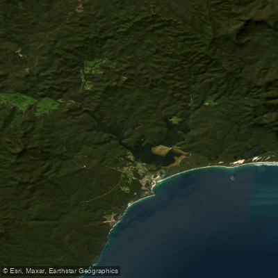
Croajingolong stretches along the far-east Victorian coast, a UNESCO Biosphere Reserve where the land meets the sea through a series of estuarine inlets, tidal rivers, and coastal lakes.
The paddling here is almost entirely flatwater — calm inlets, slow-moving rivers threading through ancient forest, and sheltered bays where the only current is the tide.
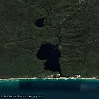
This is not whitewater country; it's a place for touring kayaks and canoes, long days on the water, and camps reachable only by paddle. The inlets are the heart of it.
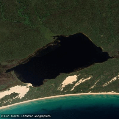
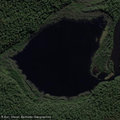
Mallacoota Inlet, the largest, is made up of two major lakes — Top Lake and Bottom Lake — connected by The Narrows, a kilometre-long channel that's worth paddling in its own right.
Top Lake is fed by the Genoa and Wallagaraugh Rivers from the north; Bottom Lake opens to the sea at its southern end.
The whole system runs to roughly 320 kilometres of shoreline, with bays, minor waterways, and shape-shifting islands to explore across multiple days. Boat ramps are at Karbeethong, Mallacoota, and Gipsy Point.
The Genoa River itself is paddleable upstream from Gipsy Point, winding through the park toward Genoa before the route turns back — a quiet out-and-return through forest that rewards those who go slowly.
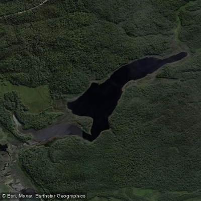
Tamboon, Mueller, and Wingan Inlets are smaller and more remote, each accessible by canoe or kayak and each with campgrounds that make overnight trips possible. Bemm River, to the west, is another option, with a boat ramp at the township.
Being inside a UNESCO Biosphere Reserve shapes the experience. The remoteness is real — campgrounds are basic, facilities are minimal, and self-sufficiency matters.
Check current conditions and any permit or access requirements with Parks Victoria before launching, as rules for this protected environment can change. The coast itself is open to sea kayakers willing to read the conditions carefully.
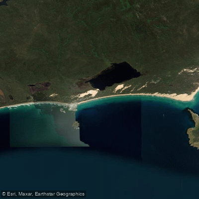
Pebbled bays, cliffs, and rock formations line the shore, and whales move through on migration between April and October. That exposure demands respect — this is a remote coastline with limited bailout options.
Croajingolong rewards paddlers who come prepared to move slowly and stay a while.
Water and weather conditions (10 day forecast)
See the best times to paddle Croajingolong National Park and check the forecast before you go.
No forecast data available.
Paddle smarter with real-time insights
Whether you're en route and conditions shift or you're looking for the best spot based on current flows, we enable you to make informed decisions on the fly.







Paddling near Croajingolong National Park
Loading...
Gateway towns
Where to base yourself for paddling in Croajingolong National Park.
- MallacootaVictoria
The main base town on the park's eastern edge, with lodging, boat launches, and access to Mallacoota Inlet for kayaking and fishing.
- Cann RiverVictoria
The main highway access point on the park's western side, serving as the primary entry town for visitors arriving via the Princes Highway.
- Bemm RiverVictoria
A small settlement on the park's western boundary with a boat launch ramp and access to the park's coastal inlets.
- Gipsy PointVictoria
A quiet hamlet near the park with a boat launch ramp and lodge accommodation, used as a base for exploring the inlets.
Explore Croajingolong National Park
Top paddling waters
Popular Cities
Loading popular cities...

Smarter Paddling Starts in the App.
Paddleways gives you everything you need to plan smarter, paddle better, and own every trip from first launch to takeout.