Slesse Mountain Trail
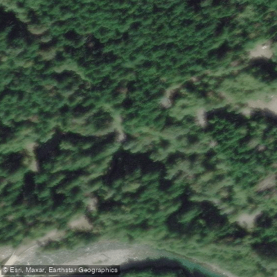
Slesse Mountain Trail
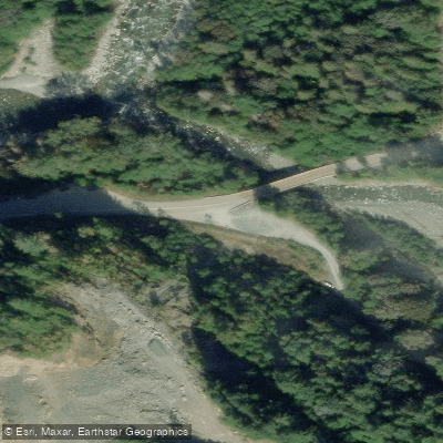
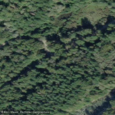
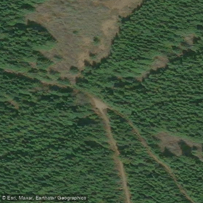
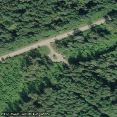
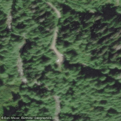
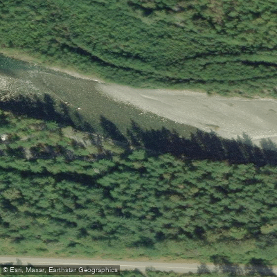
The Slesse Mountain Trail is an access point along Slesse Creek in the Cascade Mountains near Chilliwack, British Columbia.
The trailhead is reached via a rugged Forest Service Road off Chilliwack Lake Road that requires a high-clearance 4x4 vehicle due to washouts and large rocks.
The trail is well known for its historical significance, passing a memorial plaque and crash site commemorating one of Canada's worst aviation disasters — a December 9, 1956 plane crash on Mount Slesse.
The route continues up to the base of the mountain to a propeller cairn, where a piece of propeller and other artifacts from the wreck are preserved.
The out-and-back trail covers roughly 8–11 miles depending on the route, with significant elevation gain, and is rated challenging.
Nearby points of interest
Find excellent paddling spots, easy access to boat ramps, and all the amenities you need for a memorable day. Your adventure starts here.
Water and weather conditions (10 day forecast)
Check the forecast at Slesse Mountain Trail before you go paddling.
No forecast data available.
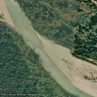
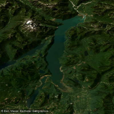
Paddling near Slesse Mountain Trail




Bc licenses and regulations
Explore Bc waters
Top paddling waters
No waters available right now.
Popular Cities
Loading popular cities...
Explore near Slesse Mountain Trail
Nearby spots
Nearby waters
More in Bc

Smarter Paddling Starts in the App.
Paddleways gives you everything you need to plan smarter, paddle better, and own every trip from first launch to takeout.