Pierce Lake Trail
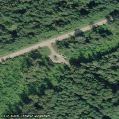
Pierce Lake Trail
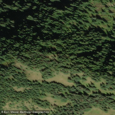
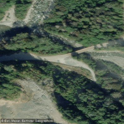
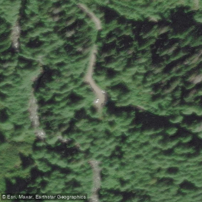
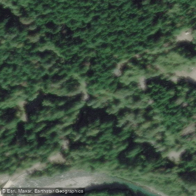
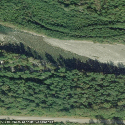
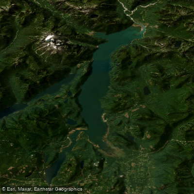
The Pierce Lake Trail access point sits along Chilliwack Lake Road in the Chilliwack River Valley, approximately 22 kilometres in, where a parking lot on the right-hand side of the road marks the trailhead.
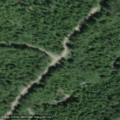
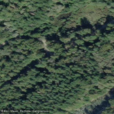
From the lot, hikers pass a gate and follow a dirt road a short distance before reaching a signed trail entrance on the right. The trail itself begins on flat, well-groomed terrain through dense forest, marked with orange tree blazes.
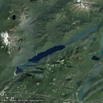
The grade starts gently before steepening into a consistent uphill climb. The route leads to Lower and Upper Pierce Lakes and, for those continuing, the summit of Mount MacFarlane.
The return distance to Pierce Lake is approximately 16 kilometres, with an elevation gain of around 1,040 metres. Hikers should watch carefully for trail markers at logging road crossings, and some route-finding is required beyond the lower lake.
Nearby points of interest
Find excellent paddling spots, easy access to boat ramps, and all the amenities you need for a memorable day. Your adventure starts here.
Water and weather conditions (10 day forecast)
Check the forecast at Pierce Lake Trail before you go paddling.
No forecast data available.
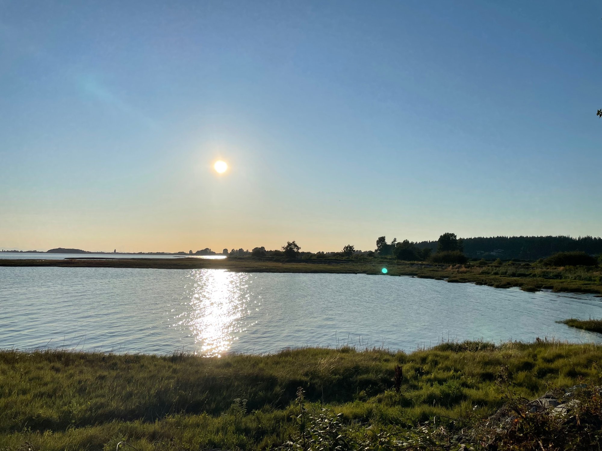
Paddling near Pierce Lake Trail




Bc licenses and regulations
Explore Bc waters
Top paddling waters
No waters available right now.
Popular Cities
Loading popular cities...
Explore near Pierce Lake Trail
Nearby spots
Nearby waters
More in Bc

Smarter Paddling Starts in the App.
Paddleways gives you everything you need to plan smarter, paddle better, and own every trip from first launch to takeout.