Monarch Mountain Trail
Monarch Mountain Trail
Monarch Mountain Trail is the most popular hiking route in the Atlin region, originating near Atlin Lake at a marked pull-out 3. 7 km along Warm Bay Road. The trail runs approximately 5.
3 km to the summit of Monarch Mountain, gaining around 700 metres in elevation over a steady upward climb. From the top, hikers are rewarded with sweeping 360-degree views of Atlin Lake, Atlin Mountain, and Teresa Island on clear days.
The summit plateau also contains two small lakes used for spiritual activities by Indigenous peoples; visitors are asked to give those areas respectful space.
The trail sits within the Monarch Mountain/A X̲eegí Deiyí Conservancy and falls within the traditional territory of the Taku River Tlingit First Nation.
More ways to access Atlin Lake
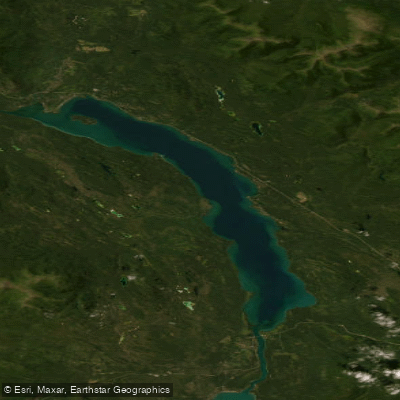
Explore the wonders of Atlin Lake! Find excellent paddling spots, easy access to boat ramps, and all the amenities you need for a memorable day by the water. Your adventure starts here.
Water and weather conditions (10 day forecast)
Check the forecast at Monarch Mountain Trail before you go paddling.
No forecast data available.
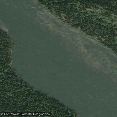
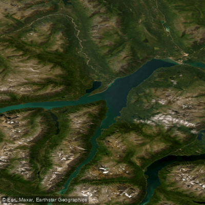
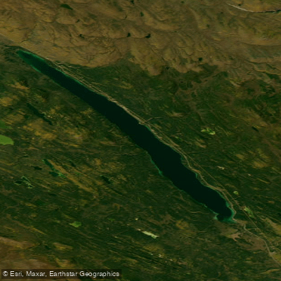
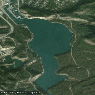
Paddling near Monarch Mountain Trail
Bc licenses and regulations
Explore Bc waters
Top paddling waters
No waters available right now.
Popular Cities
Loading popular cities...
Explore near Monarch Mountain Trail
On this water
Nearby spots
Nearby waters
More in Bc

Smarter Paddling Starts in the App.
Paddleways gives you everything you need to plan smarter, paddle better, and own every trip from first launch to takeout.